The Lost Pictographs of Perris, Found!
A Hike to the Pictographs of Lake Perris

Long before there was a Lake Perris there were the Luiseño people, known in their own language as the Payomkawichum (“people of the west”). They lived here for thousands of years, and left behind pictographs that can still be seen today.
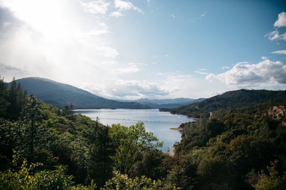
From the Bernasconi Day Use Area, head east to reach Pictograph Rock (3 miles round-trip on an out-and-back trail). You can hike the dirt path to feel close to nature, or you can hike or bike the paved trail that circles the lake, part of the San Juan Bautista National Historic Trail. Or hop between the two, as the trails occasionally cross. Enjoy lake views as you hike through native plants such as brittlebush, sagebrush, and various cactus species. The hills are coming into bloom, so look for colorful displays of wildflowers, such as goldfields and California poppies. And keep an eye out for abundant bird life, including bald eagles.
Time has swept away most evidence of the native settlements, but this whole area was once inhabited by both the Luiseño and Cahuilla people. Their history lives on, though, in the rock art found around the lake. There’s no signage for Pictograph Rock, but look for it after the second intersection of the dirt trail with the paved path.
The style of art on the rock is called the “San Luis Rey style” and is typified by geometric elements. Iron oxide obtained from the surrounding hills created the red pigment. (Remember, never touch the rock art!) The exact meaning of this design is unknown, but it is believed to represent a Luiseño puberty ceremony. The initiation would prepare adolescent boys and girls for adulthood and teach them their cultural roles and responsibilities. Though most of the art is weathered away, it is still a moving glimpse of a vanished life.
The Lake Perris Bernasconi Day Use Area is located off of Bernasconi Rd. in Perris. From I-215, exit on the Ramona Expwy. and head east, toward San Jacinto. After approximately 6.5 miles, make a left on Bernasconi Rd. The parking area is at the end of the road on the left, near the group campsites. Dogs are welcome on the paved trail, but not on the dirt trail.


