Cascade Roll
Bike Cascade Canal Trail Near Nevada City


Easy does it for this leaf-peeping, reservoir bike ride along the Cascade Trail near Nevada City. The 9-mile out-and-back pedal along the Cascade Canal Trail hugs the water’s edge, flanked by autumn-imbued golden big-leaf maple, native dogwood, and towering fir.
The trail widens and flattens as it stretches east from the parking area at Gracie Road. It’s good for beginners but has enough rocks and roots to keep it interesting for more experienced riders. Less than a mile in, turn off to take the Orene Weatherall Trail, a steep 0.6-mile zigzaggy descent (you may want to walk your bike for this part) that circles a woodpecker preserve. The preserve goes beyond this route (it’s 28 acres all in, with signage in parts) and though the woodpeckers—four species of them—are hard to spot, you can definitely hear them.
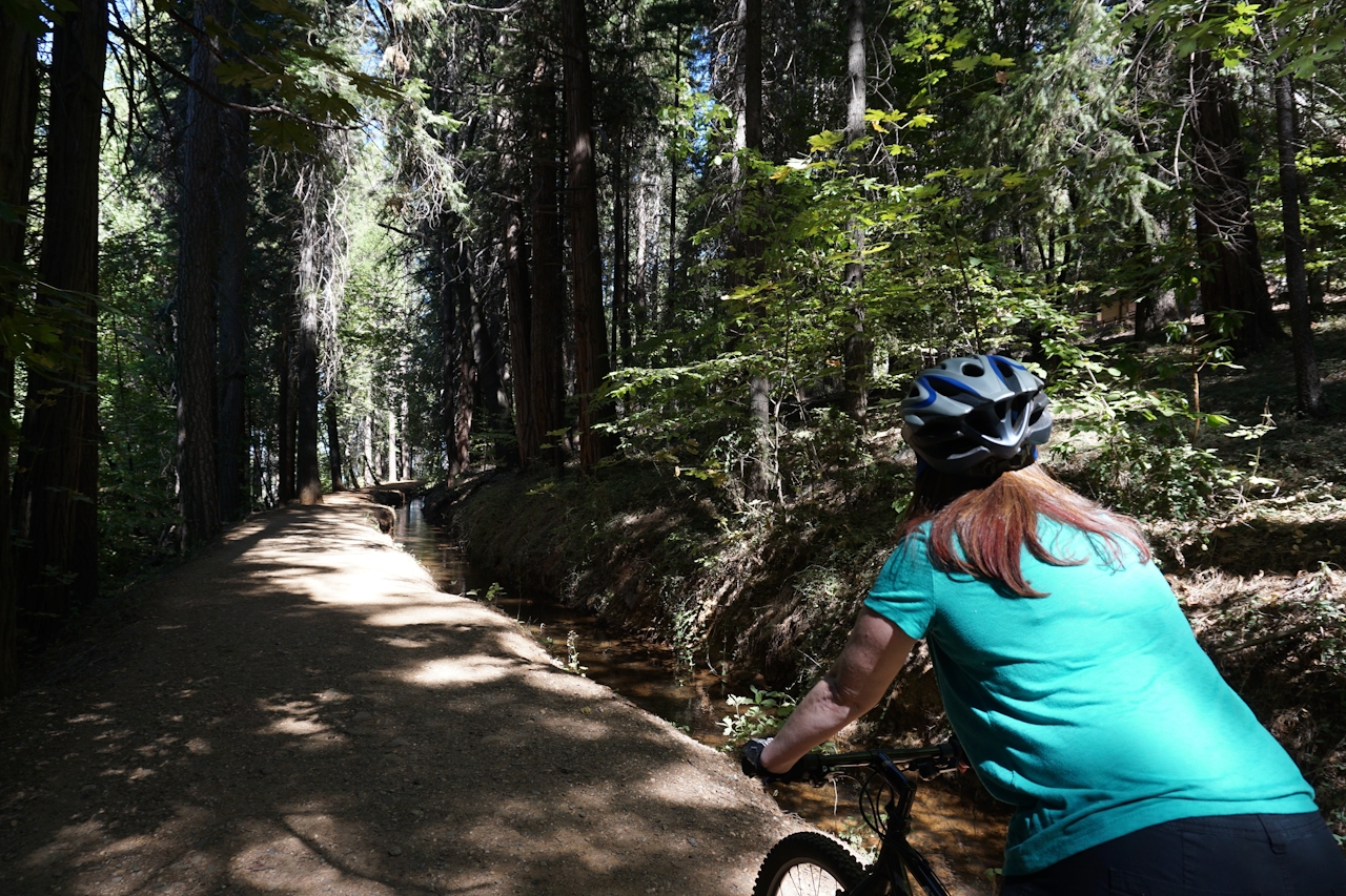
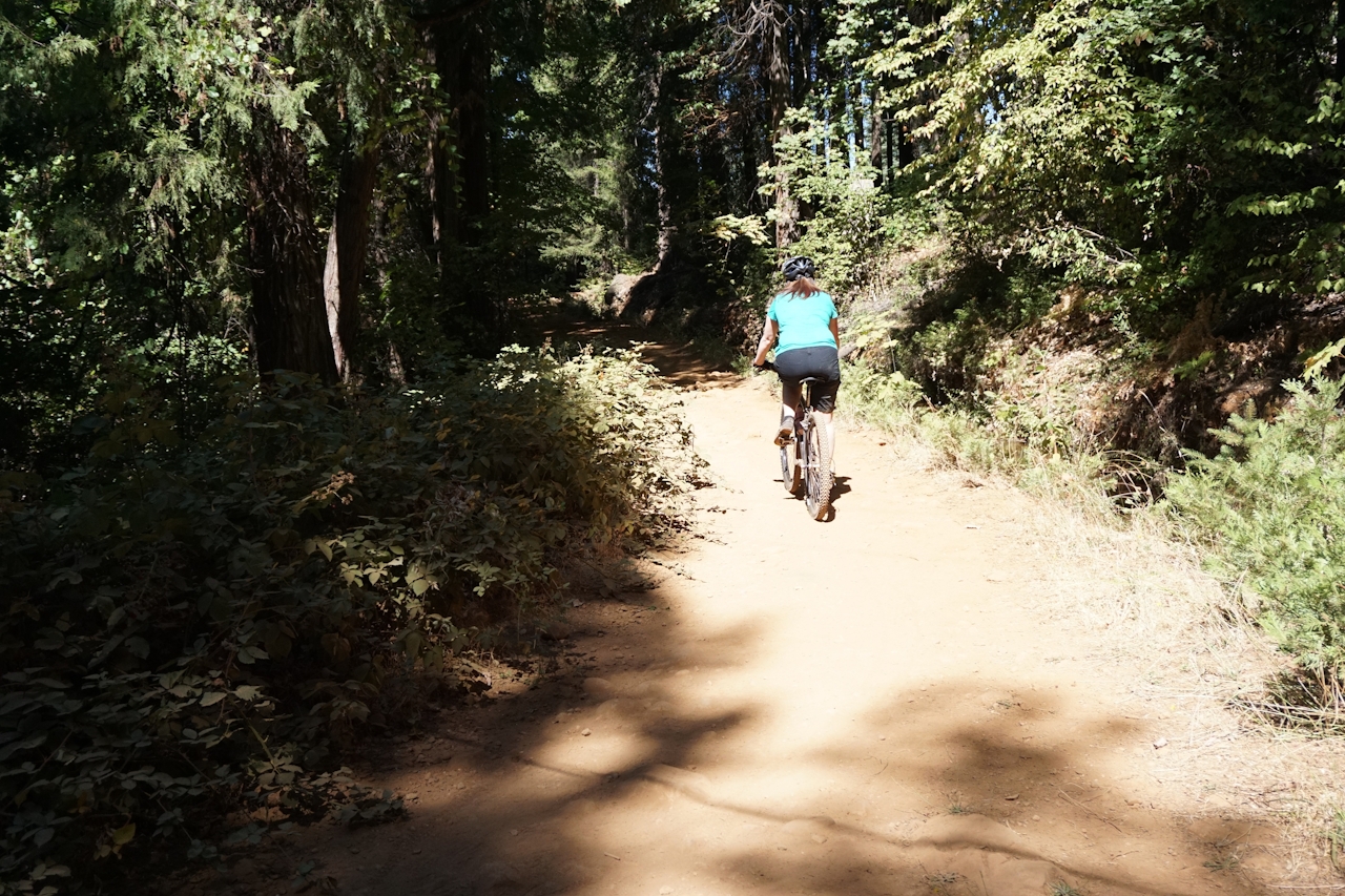
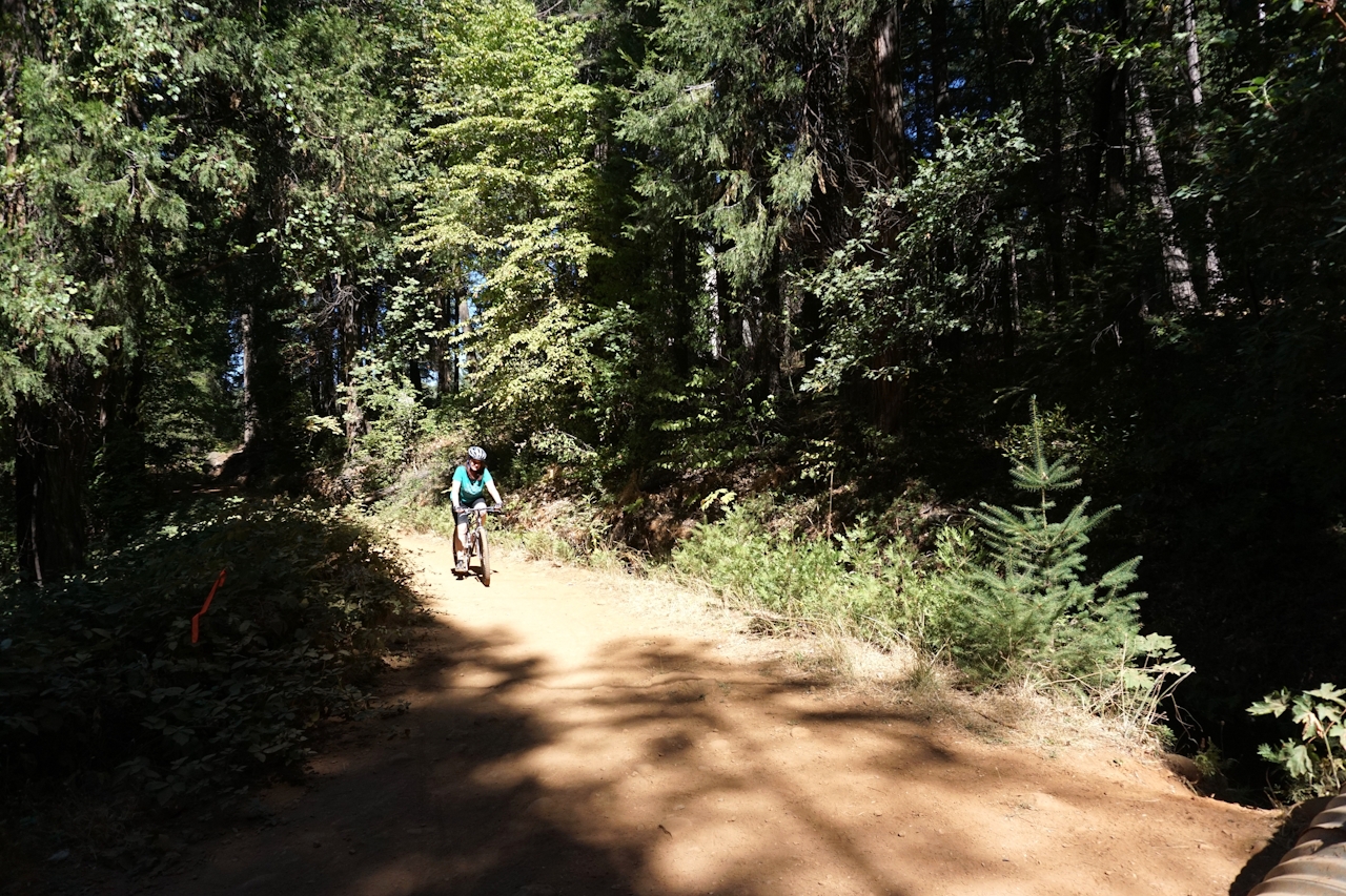
Back on the main trail, take a breather on the trailside bench at 3.4 miles, and peek through the foliage for a view of the valley and Nevada City. At just over 6.5 miles, you’ll cross the trickling waters of Little Deer Creek before hitting the trail’s end at Red Dog Road. When you’re ready, turn around and return the way you came.
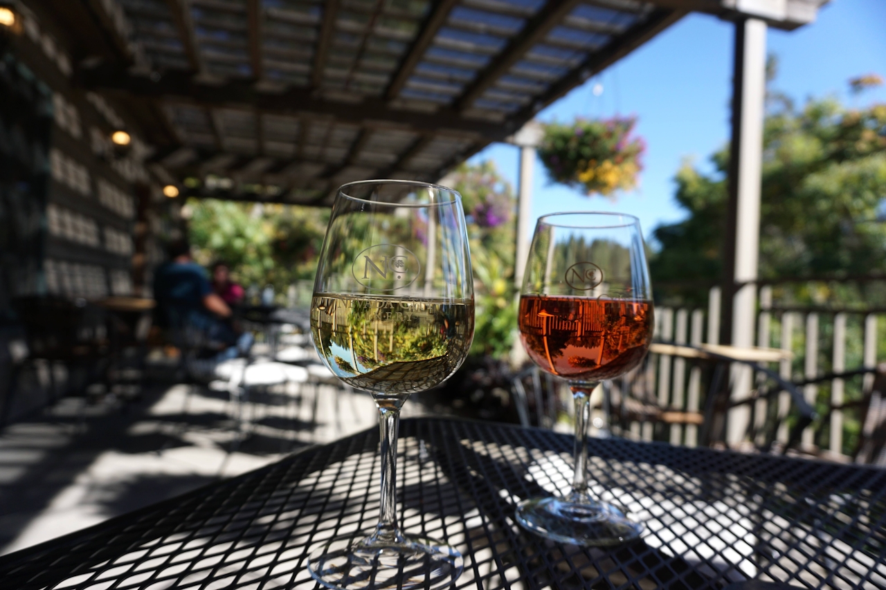
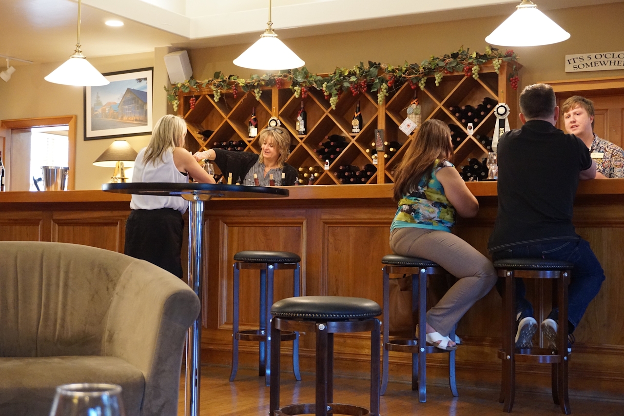
FOOD & WINE BONUS: Whether you’ve done one mile or nine, you deserve a reward. At Nevada City Winery (321 Spring Street, Nevada City), you can sip a refreshing tempranillo rosé on the flowery back patio or curl up on a couch with a glass of a bold zinfandel. Need a post-ride nosh? Pop around the corner to South Pine Café (110 South Pine Street, Nevada City) for a free-range chicken burrito or vegan burger.
To reach the Cascade Canal Trail, take I-80 east to Auburn. Take the exit for Hwy. 49 North and continue to Nevada City. Turn right at the Gold Flat Rd. exit, right on Pittsburg Rd., left onto Pittsburg Mine Rd. and left onto Banner Lava Cap Rd. Gracie Road will be about a mile down on the left, and there is a small parking lot on the corner (no fee). Walk a few hundred feet down Gracie Road (past the locked gate) to access the trail. Note: There are no facilities near the trailhead so plan accordingly.







