East Bay Bike With Blossoms
Bike this Charming East Bay Loop Starting From Heather Farm Park


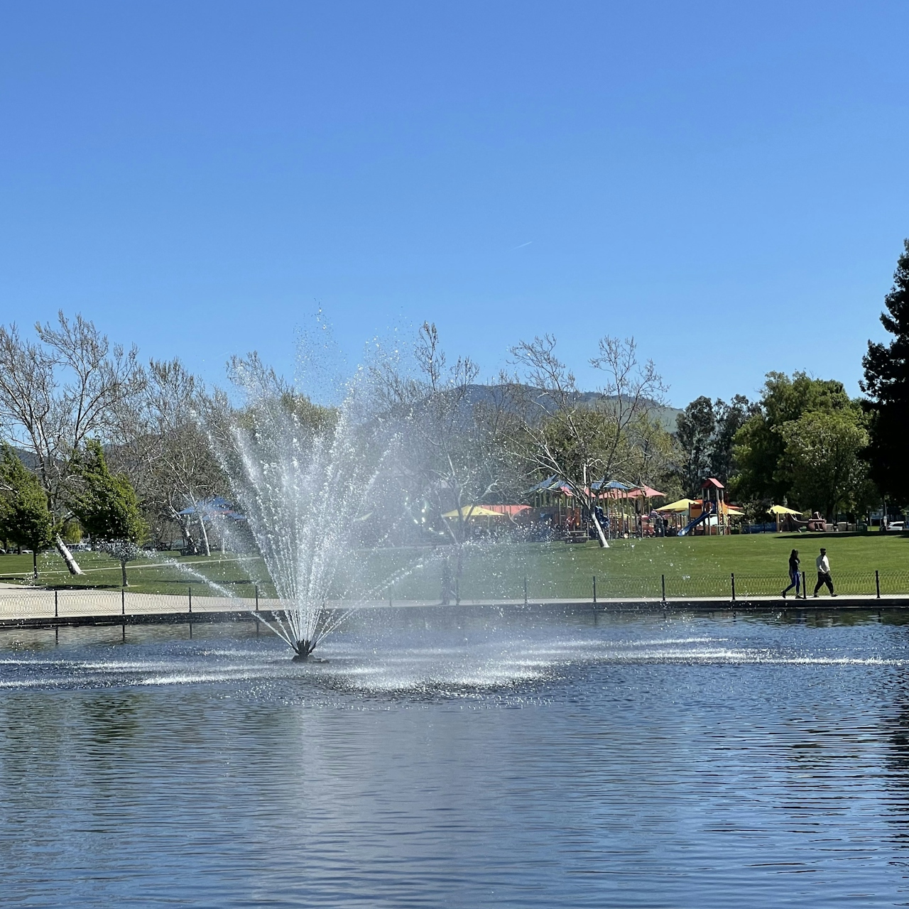
Spring wildflowers are in full bloom on this 15.5-mile bicycle loop through the East Bay. The route begins at Heather Farm Park. From the main parking lot, head north along the duck pond and hop onto the Briones to Mt. Diablo Trail, then turn left onto the Contra Costa Canal Trail. After a half mile, turn right onto the Iron Horse Regional Trail.
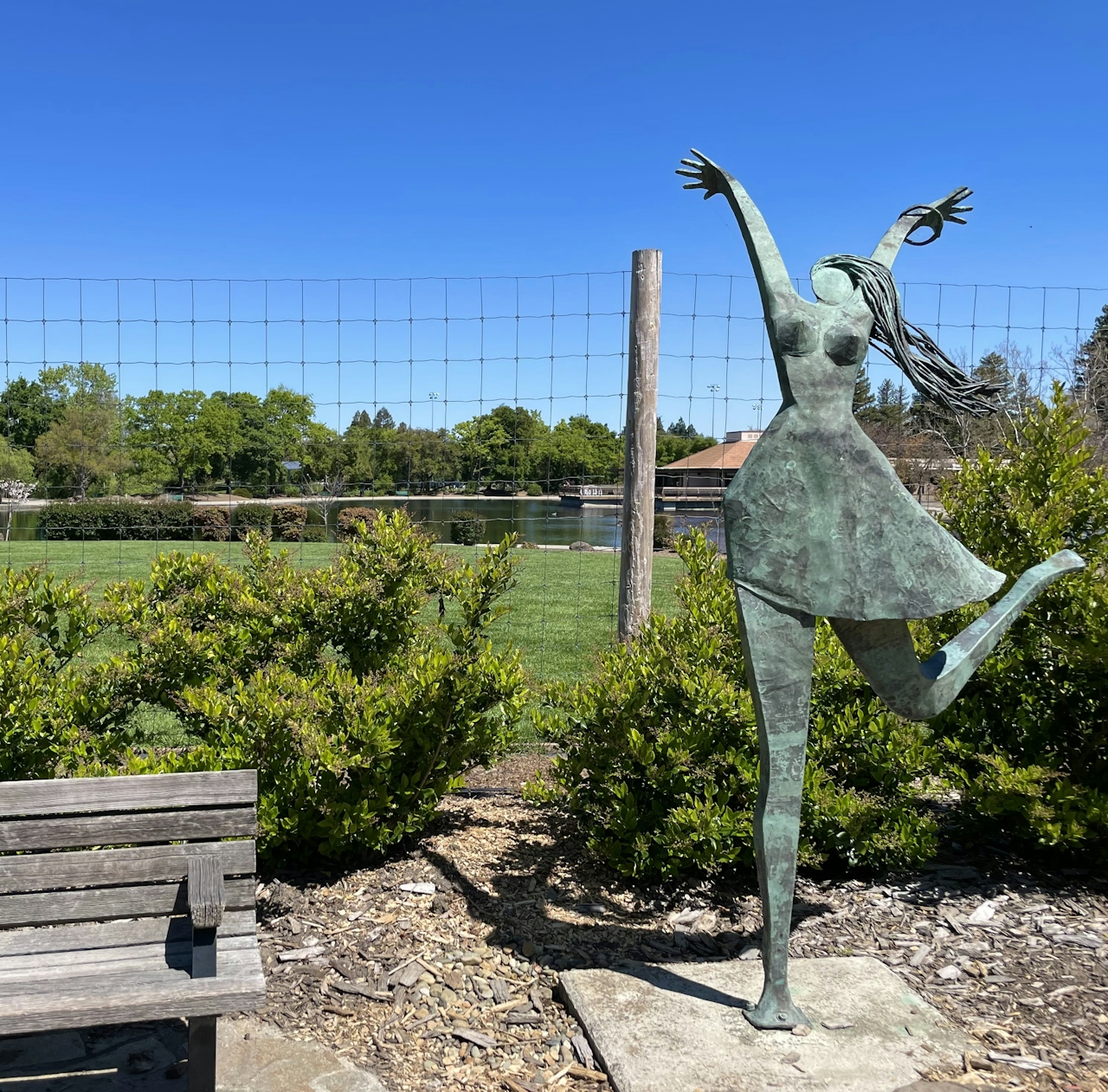
This paved route winds north through Pleasant Hill and Concord, and is the perfect way to explore the cities without worrying about car traffic. Cross the pedestrian-only bridge, and enjoy the colorful flower beds and artwork that residents have installed along the trail.
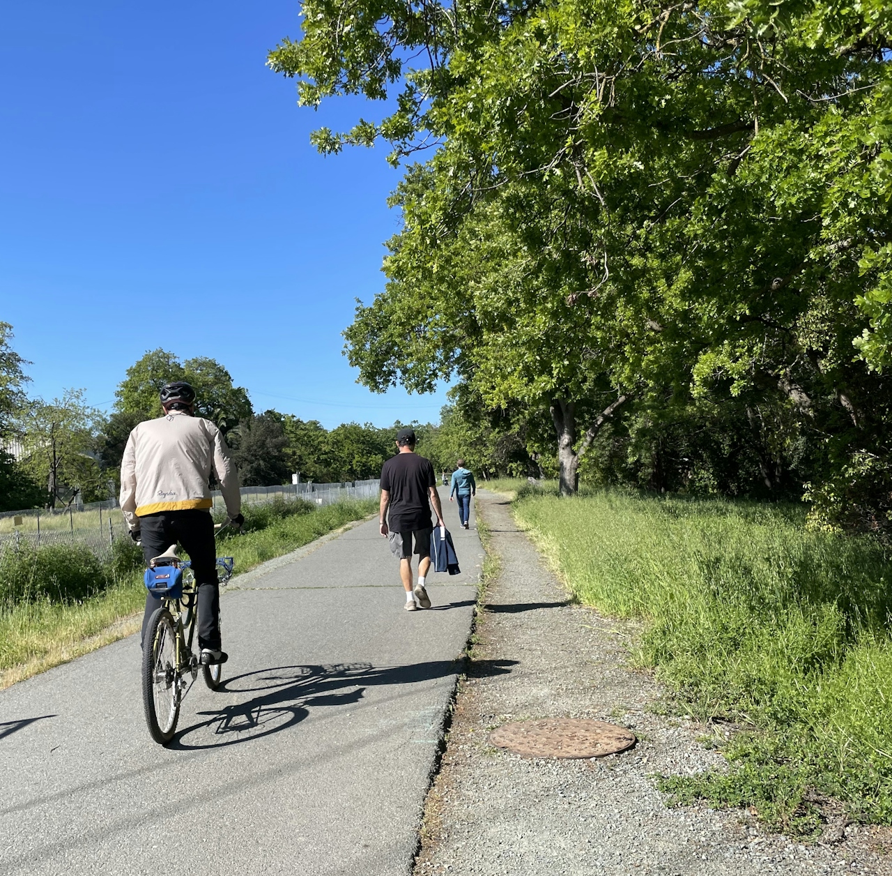
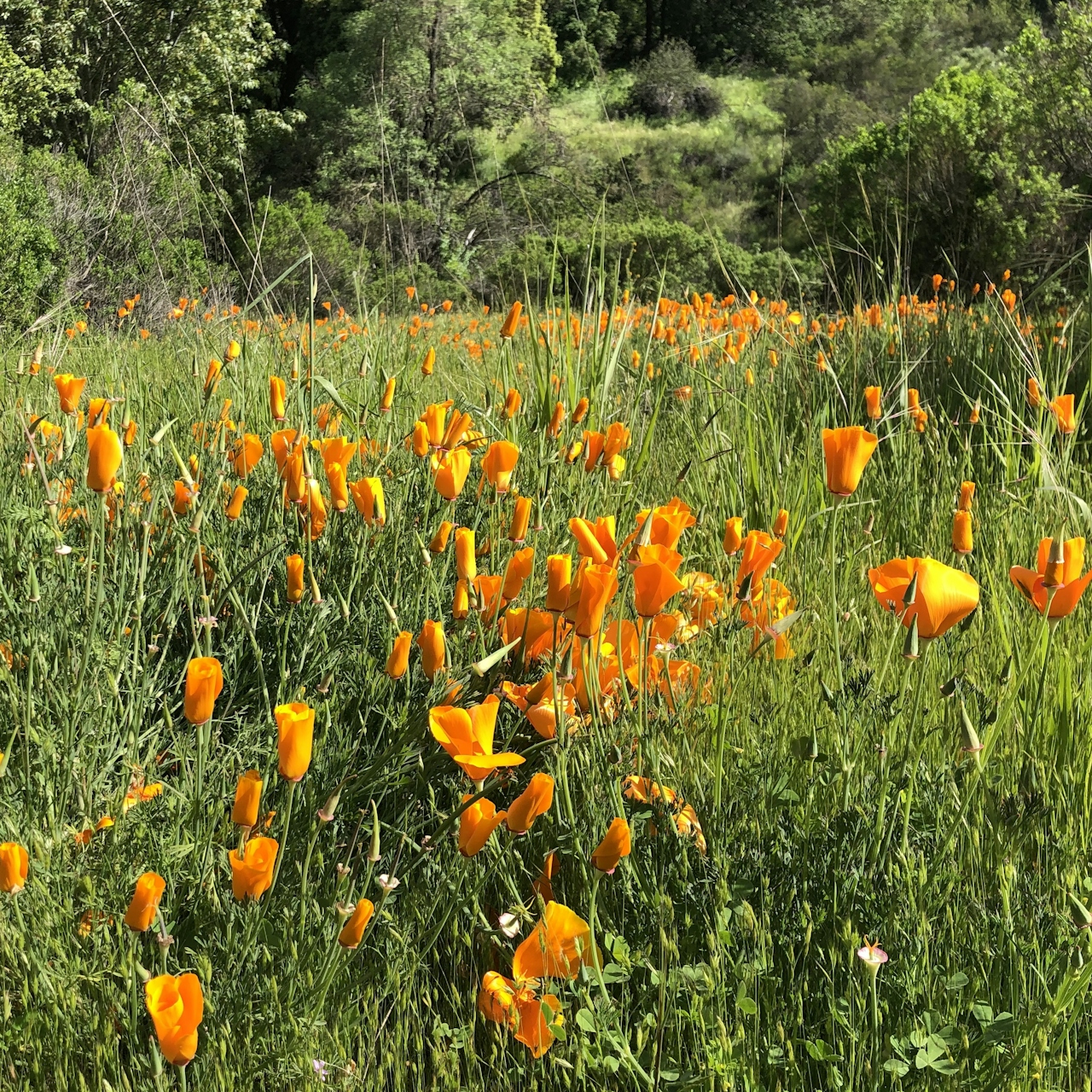
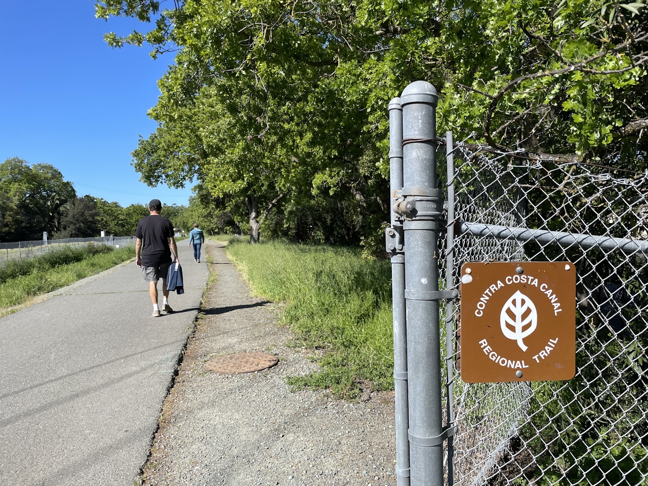
As cyclists near the Buchanan Field Airport, the city gives way to open grasslands surrounding Walnut Creek—home to herons, egrets, and geese. Colorful springtime wildflowers like wild mustard and radish line the route. Cyclists looking for a shorter route can turn around at Concord Ave and retrace the trail back for a 10-mile out-and-back.
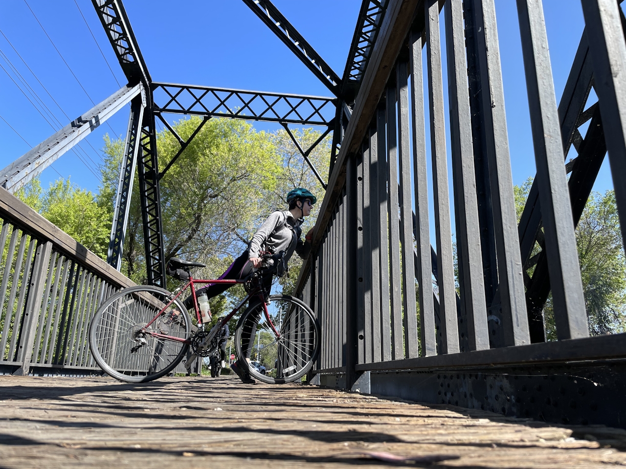
At the intersection with Marsh Drive, turn left to loop around the airport. To the southeast, the two peaks of Mt. Diablo dominate the horizon—a great photo op with biplanes swooping overhead! At the intersection with Center Avenue, turn right to cruise through town for a mile, then turn left onto the Contra Costa Canal Trail.
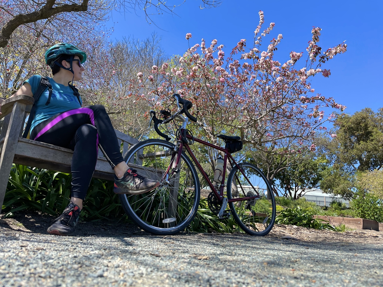
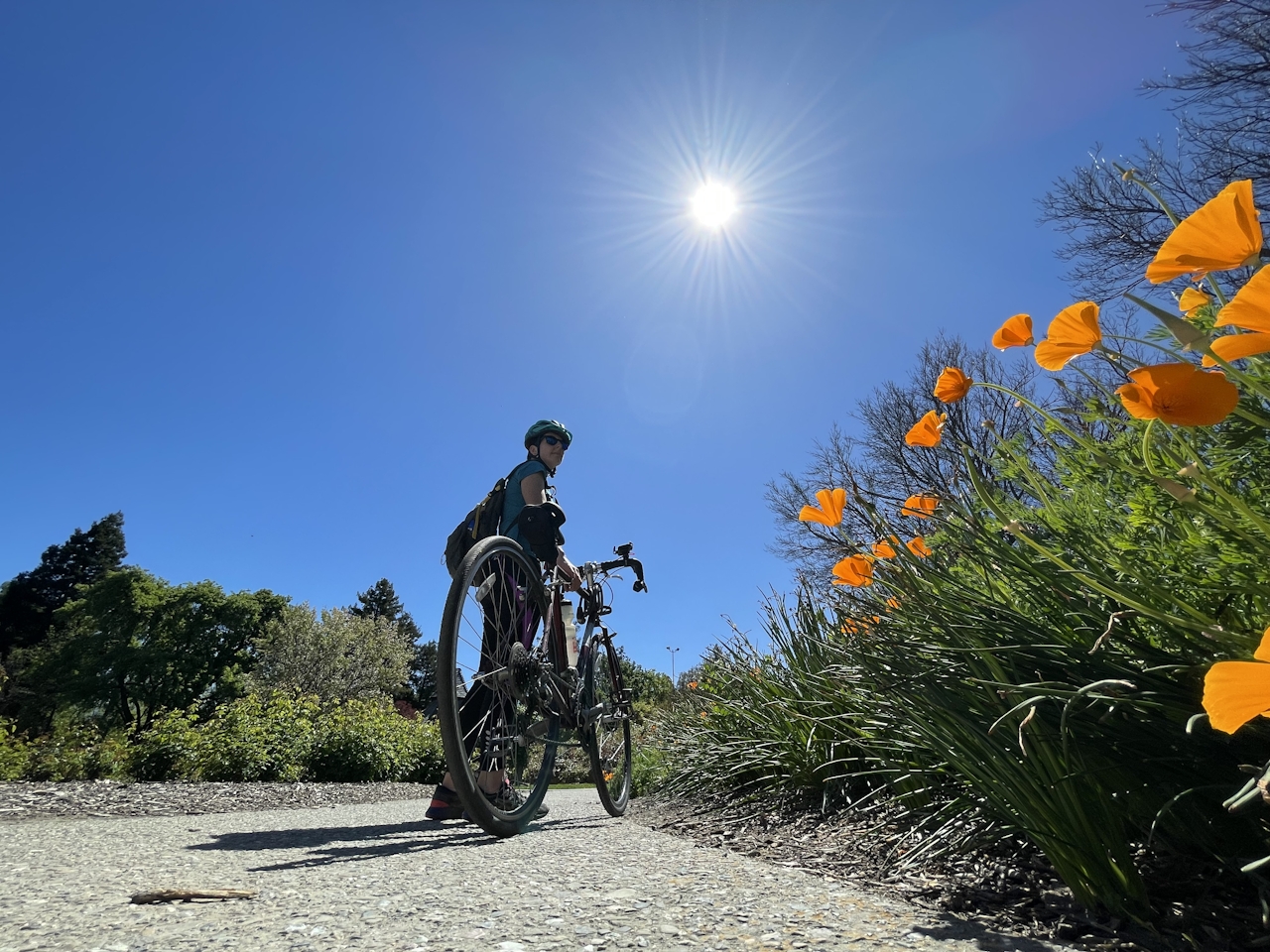
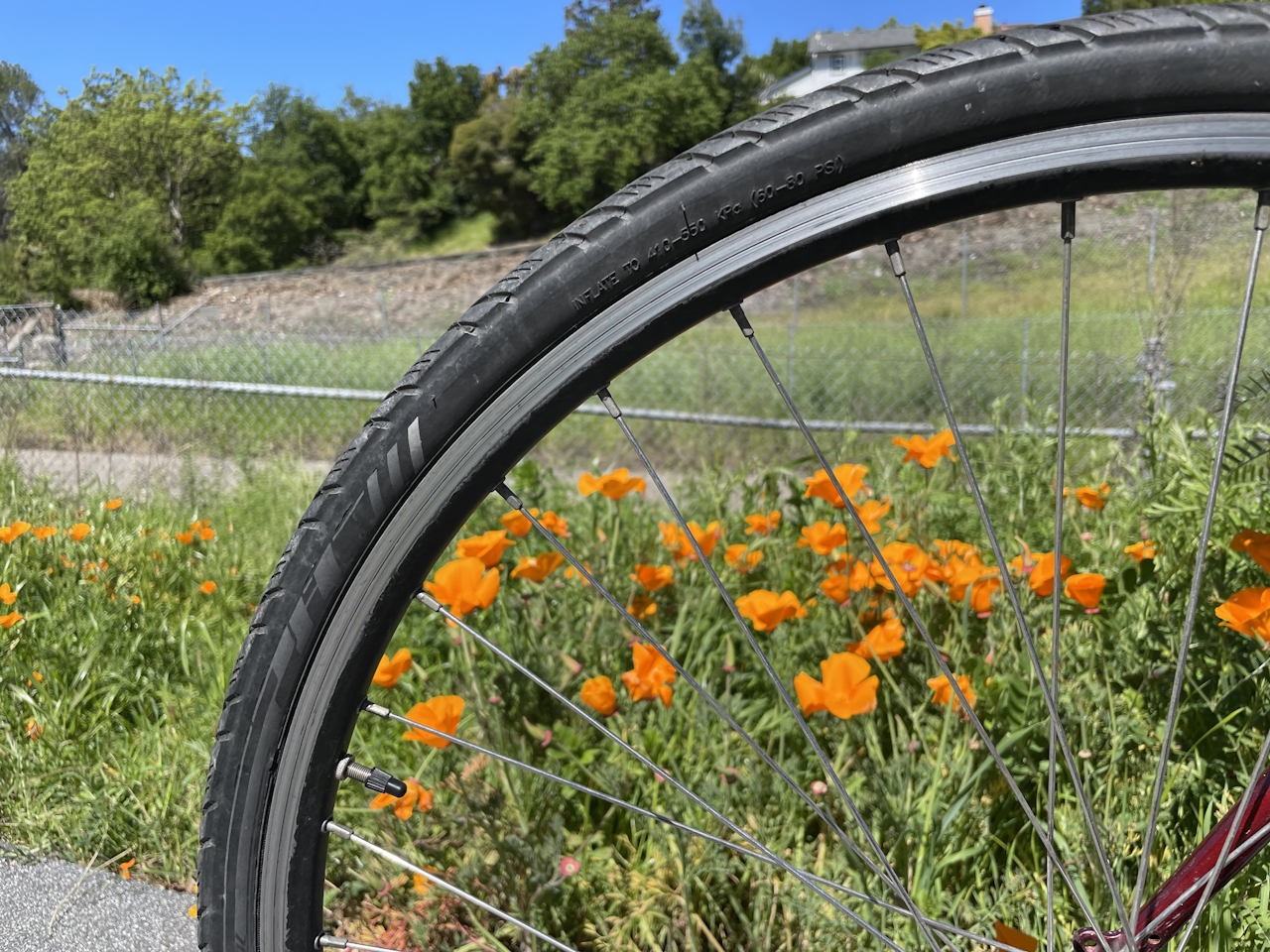
This stretch of trail is a biker’s paradise, with rolling green hills, shady parks, and swaths of California poppies adding a pop of bright color to the ride. Continue down Contra Costa Canal Trail until it intersects with the Briones to Mt. Diablo Trail, then turn right and retrace the route back to Heather Farm Park.
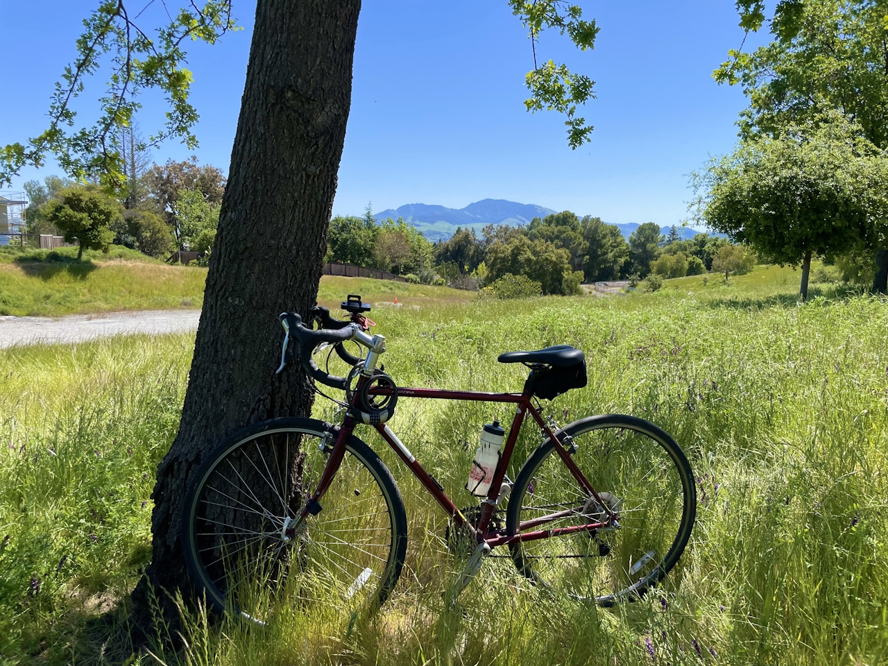
Before heading home, kick back and enjoy the beautiful park, from the picnic tables by the lake to the playground and volleyball courts. Or take a tour of the Gardens at Heather Farm, which include botanical gardens, a nursery, and florist workshops.

Heather Farm Park is located at 301 N San Carlos Dr. in Walnut Creek and is free to the public. Map. Dog-friendly.
Story and photos by Heather Werner, @heath.er.wer.ner







