Camp Casitas

Camp, paddle, and play disc golf at Lake Casitas Recreation Area near Ventura

Group of friends taking a selfie on a boat on Lake Casitas in Ventura

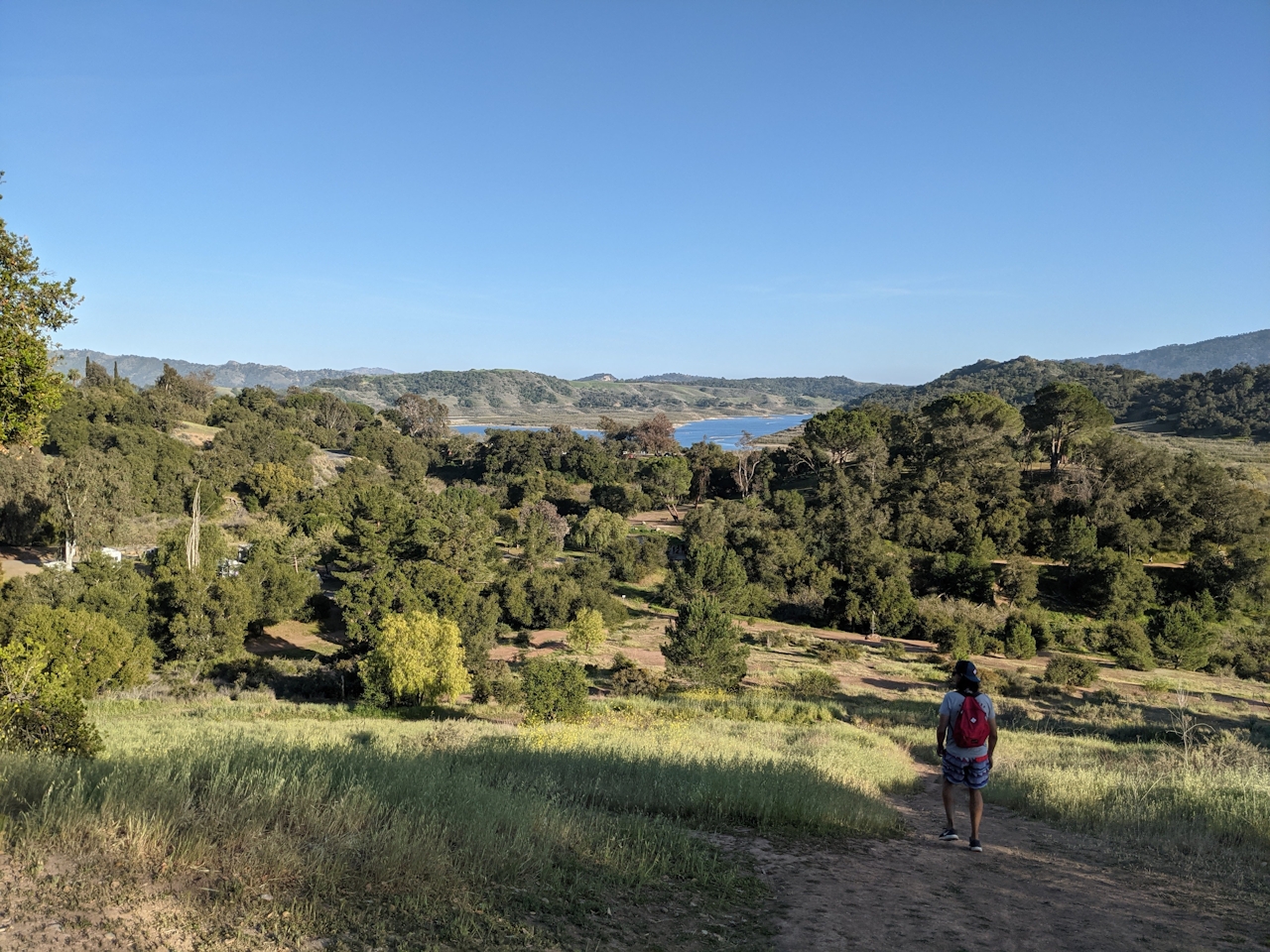
Remember summer camp? Well, Lake Casitas Recreation Area, just 20 minutes from downtown Ventura, brings it all right back. It's got everything you need for an action-packed day or weekend outdoors: There’s a 5.75-mile shoreline hike, a rugged disc golf experience, and reservoir boat floats on the water. There’s also nearly 450 campsites across its massive grounds.

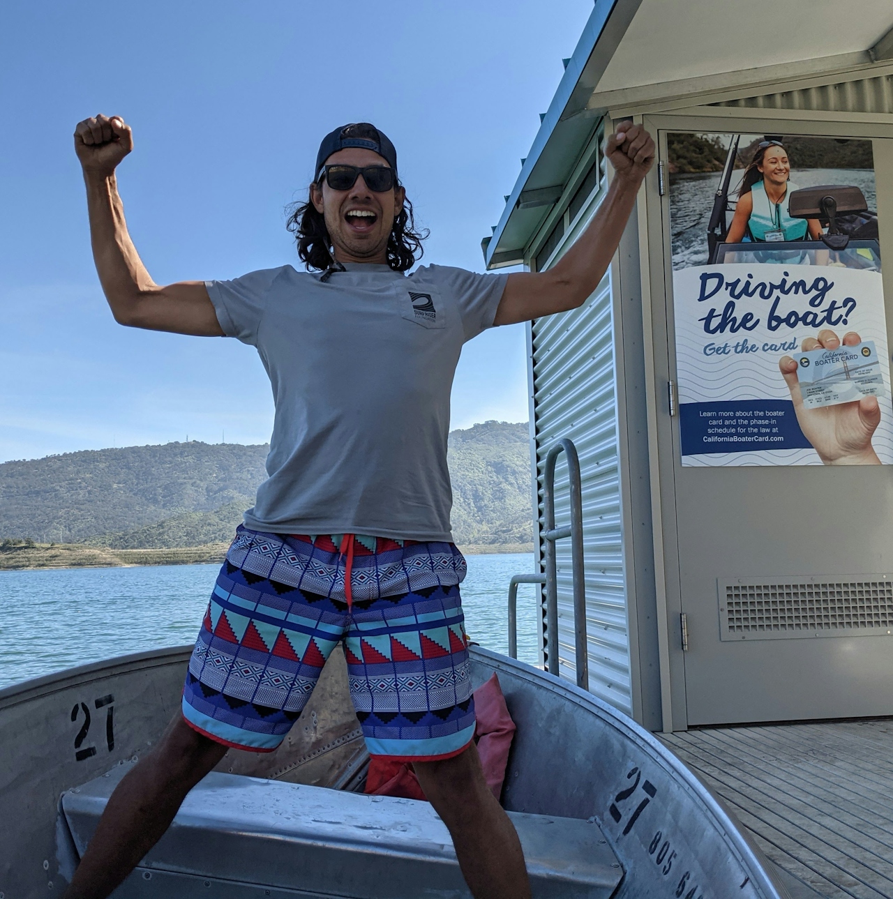
Young man posing for the camera on a boat at the dock at Lake Casitas near Ventura

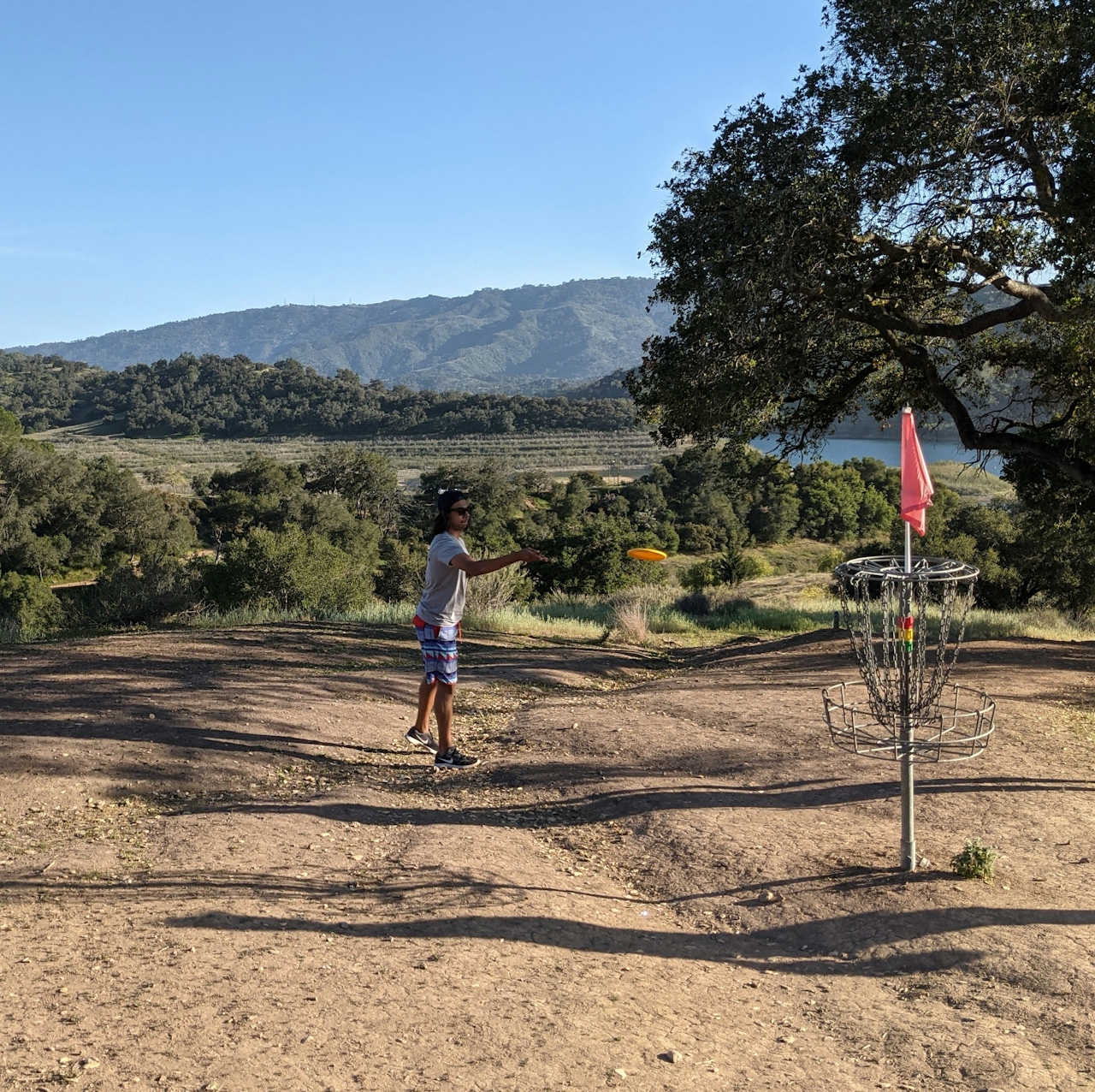
Person playing disc golf at Coyote Point Disc Golf Course at Lake Casitas Recreation Area near Ventura

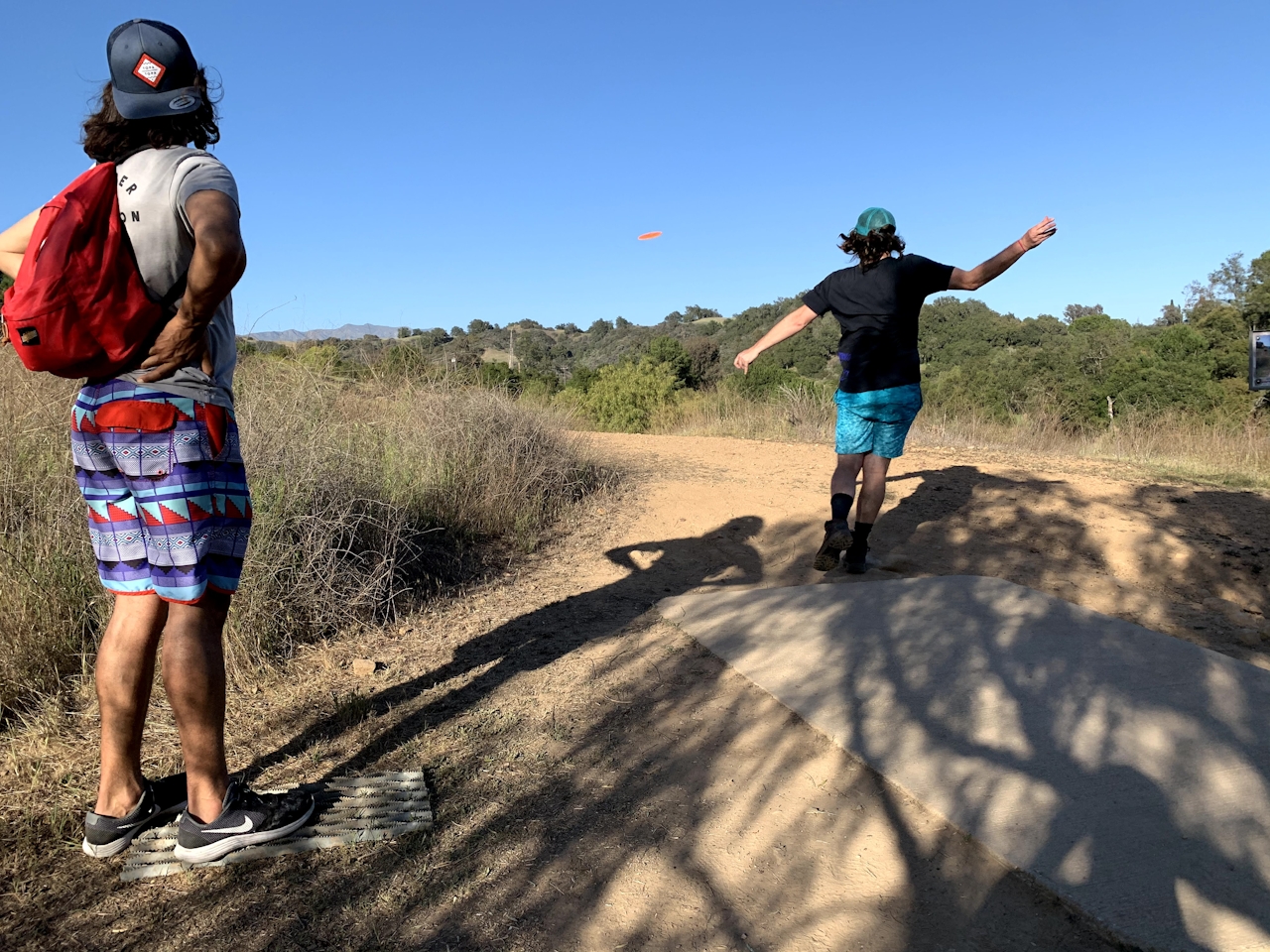
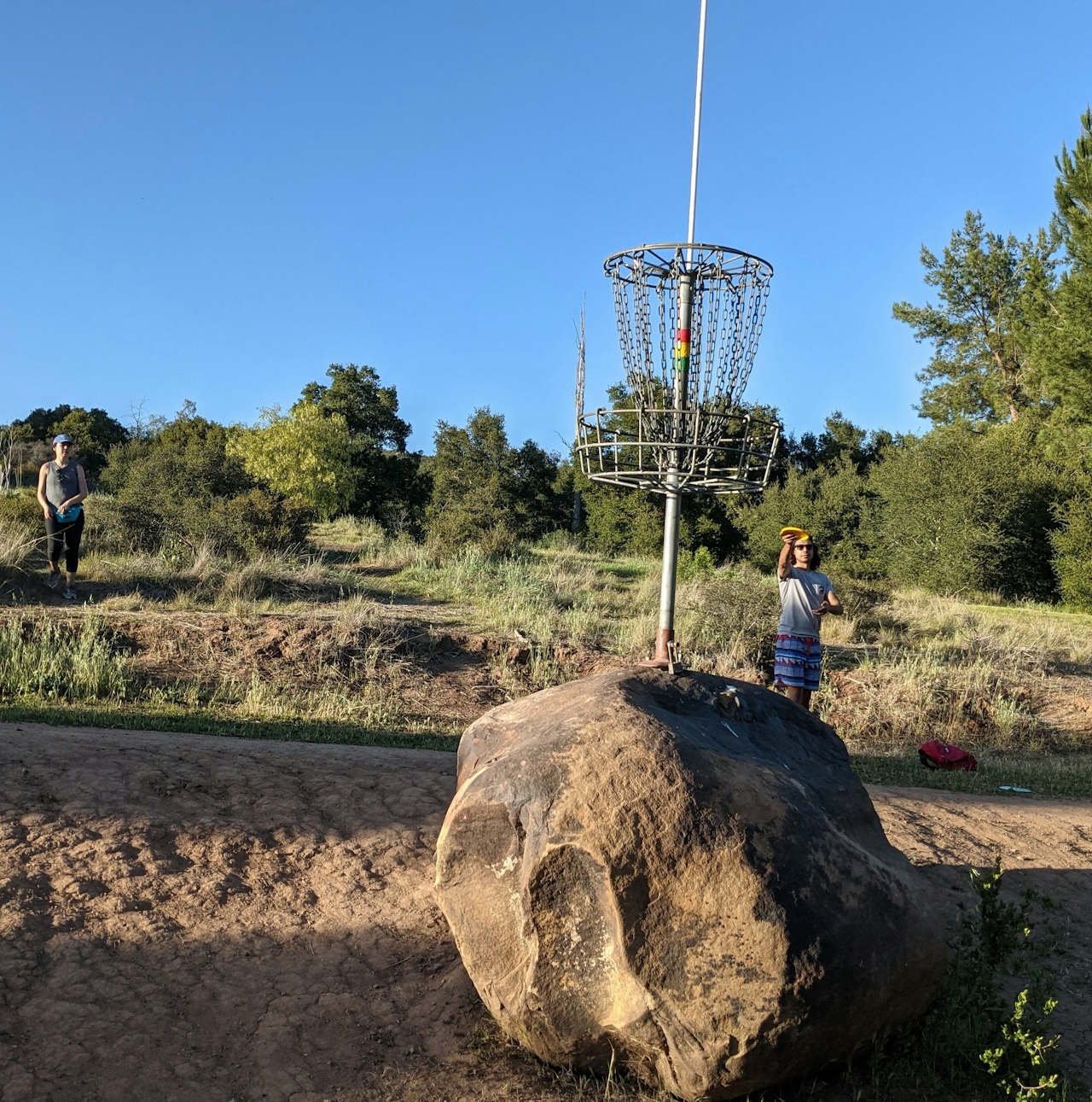
Friends playing disc golf at Coyote Point Disco Golf Course at Lake Casitas Recreation Area near Ventura

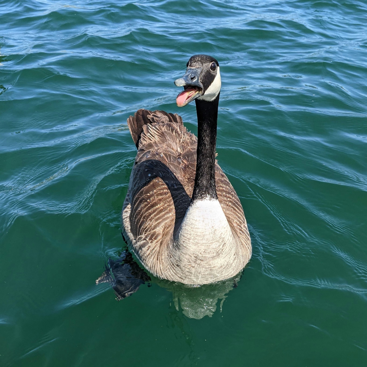
The lake is dammed and provides drinking water for the area and might be best known for its bass fishing (a reel good time) and the 1984 Olympics, where canoeing and rowing events took place. Today, the boat rental shop provides kayaks and shaded pontoons for some relaxing time on the water. There are motorboats too. If you’d rather stay on land, from the pier there’s a 2.85-mile trail (one-way) both paved and dirt that goes east and south with great views of the lake’s sole island, Main Island, whose peak reaches 500 feet above the water. If you’re on the water you’ll get up close to the resident waterfowl, from Canada geese to cormorants, coots, and grebes. Enjoy all the 1100 acres of water, but don’t get in; as a drinking-water supply, this is a no-body-contact lake.
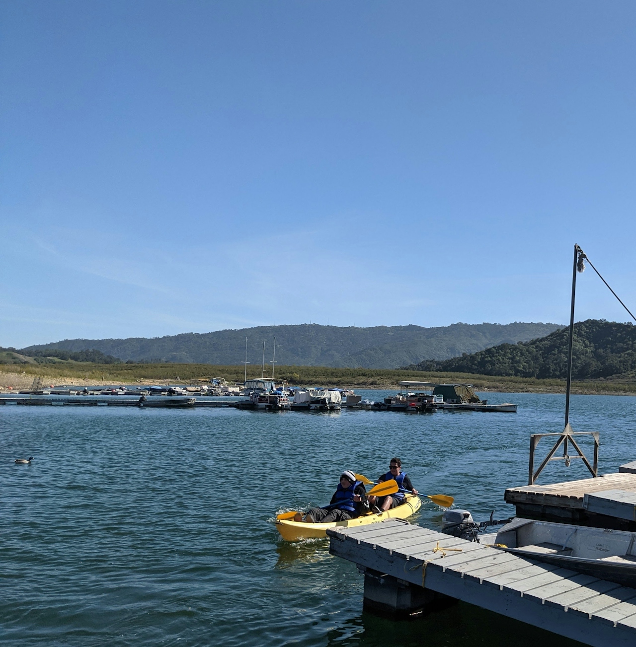
Kayakers by the pier at Lake Casitas Recreation Area near Ventura

Canada Goose posing for the camera at Lake Casitas Recreation Area near Ventura

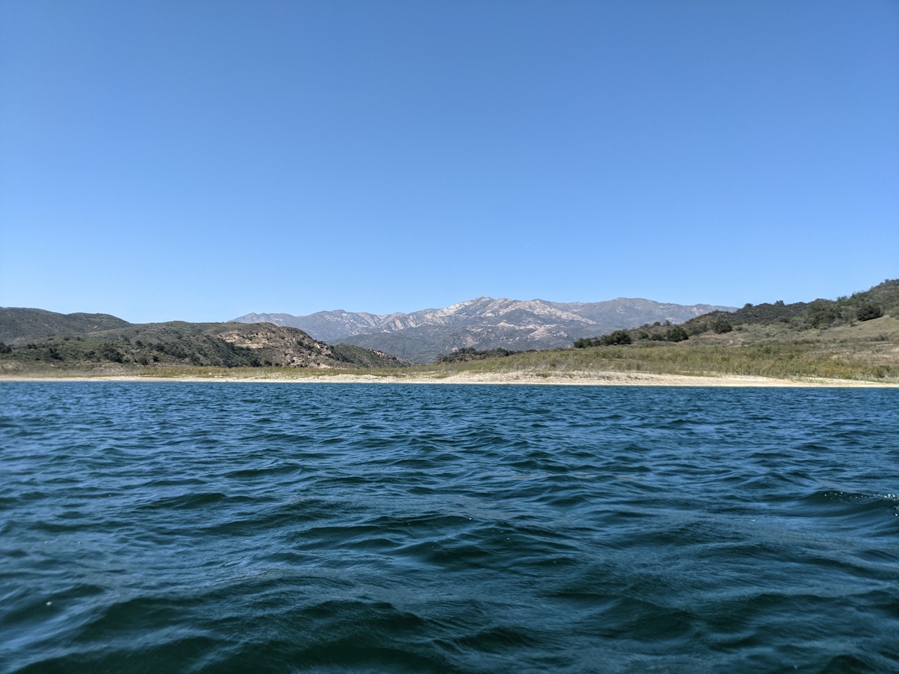
open water view of Lake Casitas near Ventura

After your float, it’s time to frolf! Head to the Coyote Point Disc Golf Course on the northwestern side of the lake. The 18-hole affair is one of the most technical in Southern California, and the first hole has you launching your pies hundreds of feet off a steep cliff (which you will have to hike down!). It’s as much an intense workout as it is a challenging course because you’re constantly ascending and descending.
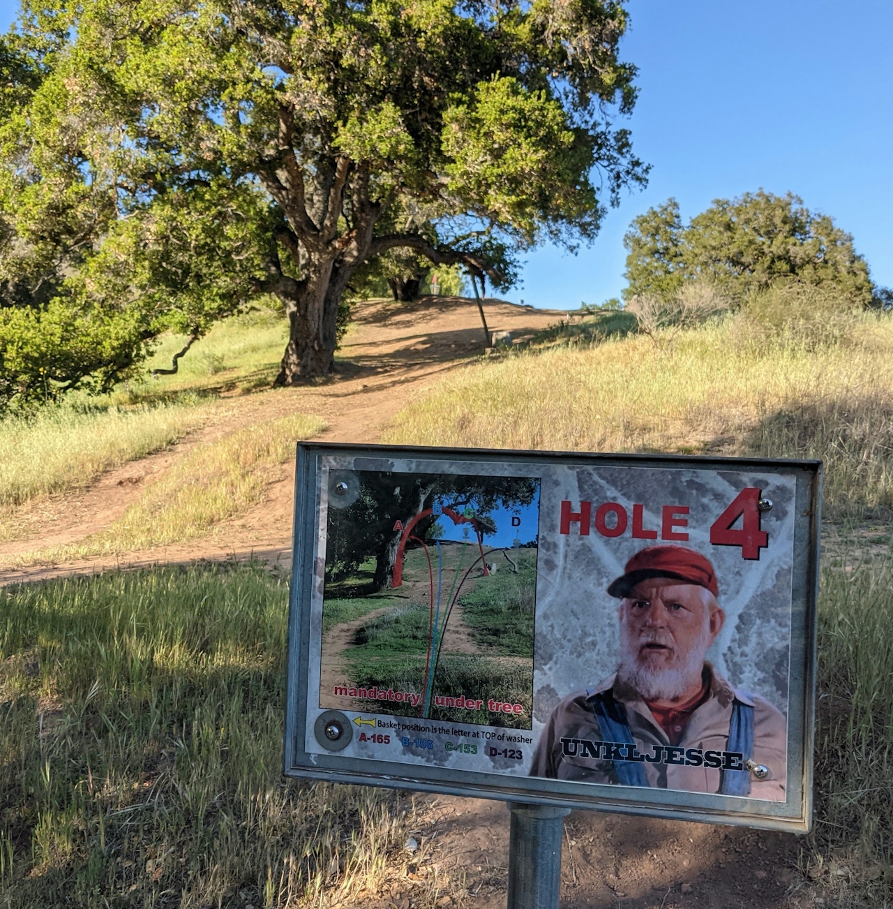
Sign at Hole 4 at Coyote Point Disc Gold Course at Lake Casitas Recreation Area near Ventura

Person tossing a disc at Coyote Point Disc Golf Course at Lake Casitas Recreation Area near Ventura

Coyote Point Disc Golf Course overlooking Lake Casitas near Ventura

The views of the lake are incredible, especially at sunset—just make sure to keep your eyes on the chains when teeing off. If you want to continue enjoying the natural beauty, snag a reservation at one of the nearly 450 campsites (seriously!) that are scattered around the lake’s edge.

To get to the Lake Casitas Recreation Area entrance, take the US-101 to the CA-33 north towards Ojai. At the terminus of the CA-33, head west on the CA-150. After 3.2 miles, exit and turn left onto Santa Ana Rd., where you will immediately find the Lake Casitas Recreation Area entrance ($10 entry per vehicle, or make a campground reservation). Dog-friendly except on the water!

Story and photos by Matt Pawlik.

Trending Stories NorCal

View all Stories
  1. Woman with her arms outstretched to the rolling hills scenery while on a rock outcrop at Barnabe Peak in Samuel P Taylor Sate Park in Marin

    Barnabe Bonanza

    Sure, there are higher mountains in Marin (Mount Tam) and easier ascents (Mount Burdell), but is there a more expansive North Bay view? Barnabe Peak in Samuel P. Taylor State Park offers a glorious panorama including Mount Tam, Mount Diablo, and Mount St. Helena.

    View
  2. Hiker on the SCA trail in Marin Headlands with view of the Golden Gate Bridge

    Headlands Over Heels

    People come from all over the world to get a glimpse of the Golden Gate Bridge. Get a dramatic and novel view of the bridge without all the people on this moderate 6-mile hike in the Marin Headlands.

    View
  3. Barbary Coast Trail medallion hike in San Francisco

    Medallion Walk SF

    The Barbary Coast Trail is a 3.8-mile historical walk and treasure hunt through San Francisco. Be on the lookout for hubcap-sized bronze medallions placed on the city sidewalks with arrows pointing you in the right direction.

    View

Trending Stories SoCal

View all Stories
  1. Woman hiking the San Onofre Bluffs Loop Trail to San Onofre State Beach in San Diego County

    Bluffing Good!

    Lovely coastline, beautiful beaches, unique geological history, and picturesque sandstone cliffs with limited foot traffic in San Diego County? Head to San Onofre State Beach and the 5-mile San Onofre Bluffs Loop Trail.

    View
  2. Can We Get a Whoop Whoop!

    City, mountain, and ocean views all in one hike? Whoop whoop! It’s no surprise the the Kenter Fire Road and Whoop-de-Doos Trail (a combo of fire road and singletrack) is a favorite among local mountain bikers and hikers alike.

    View
  3. The Big Chill

    In LA, finding a place to chill can be the ultimate flex. So flex, in Franklin Canyon! This unexpected oasis has plenty of shade, cool lake breezes, and ample picnicking spots. Enjoy it on an easy-going 1-mile stroll along its reservoir and duck pond.

    View