Down by the River
Carmel River State Beach Hike


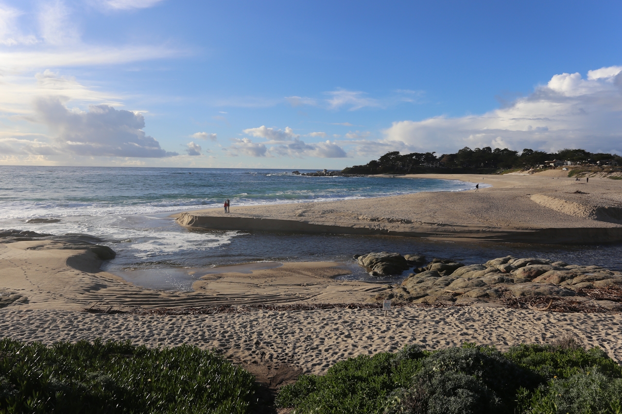
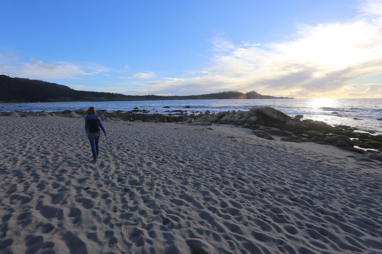
Carmel might be one of the best-known enclaves in the Monterey area, but its nearby Carmel River State Beach is much more of a local’s secret—especially the southern end of it. On this short and easy 1.5-mile (round-trip) walk, you’ll be right beside the crashing Pacific until the trail stops at the river. Heading north, follow the bluffside trail alongside blooming ice plant and wildflowers (watch for poison oak), with plenty of entry points to the beach—one of the most beautiful in Monterey County. Along the way past wave-crushed coves and ample swaths of sand, you’ll see hulking rock formations rise from the sand, artfully sculpted by the sea. Keep following the trail north towards the Carmel River Lagoon and Wetlands Natural Preserve, home to bountiful birdlife including the great blue heron, the greater yellowlegs, and plentiful egrets, ducks, and terns.
Sometimes the river is low enough that you can get across it and follow the beach to its end point, but the main trail follows the river upstream and heads inland for a bit, revealing beautiful views of Carmel and Mission Ranch. The trail narrows for a brief section before coming back to the bluffside path where you’ll return the way you came. Late afternoon brings gorgeous light as sea stacks are silhouetted against a burning orange sky.
BOWWOW BONUS: Not far from Carmel River State Beach, downtown Carmel has the popular boutique-style Cypress Inn. Owned by Doris Day—a dedicated animal welfare advocate—the Spanish-style inn not only is pet-friendly, the lounge even features live music—where dogs and their owners get to kick back and enjoy the tunes.
Heading south on Hwy. 1 from Carmel, go 1.2 miles south of the Rio Rd. stop light. On the right (west) side of the highway you'll see a red Bay School sign. Turn in here and park. Follow the beach trail, walking north towards the Carmel River. The main trail is 1.5 miles round-trip. Exercise caution on the beach as sleeper waves rise up unexpectedly and tides change. Dog-friendly!







