Pretty View Campground
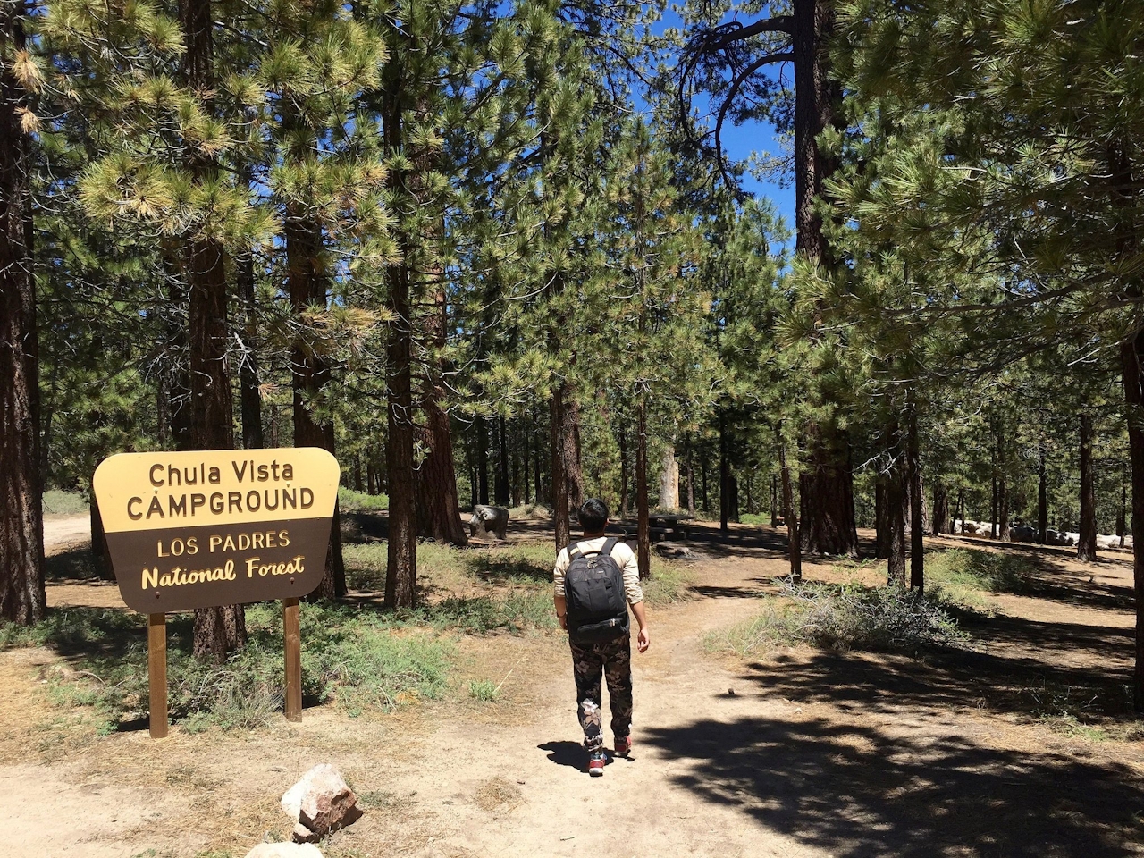
Chula Vista Campground in Los Padres National Forest


Chula vista means “pretty view,” and whoever named Chula Vista Campground in the Los Padres National Forest was right on the mark. The views extend all around and even upward to the heavens. Situated at 8,300 feet near the summit of Mount Pinos, Chula Vista is the best stargazing spot within two hours of the bright Los Angeles lights.
Park in the big lot—amateur astronomers set up their scopes here during new moons—and walk roughly 500 yards along the trail to one of 12 first-come, first-served sites under endless groves of Jeffrey pines.
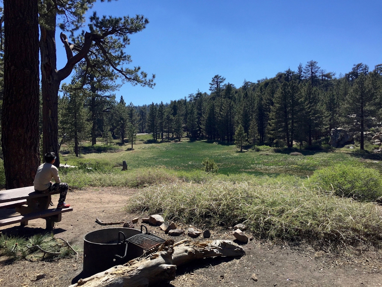
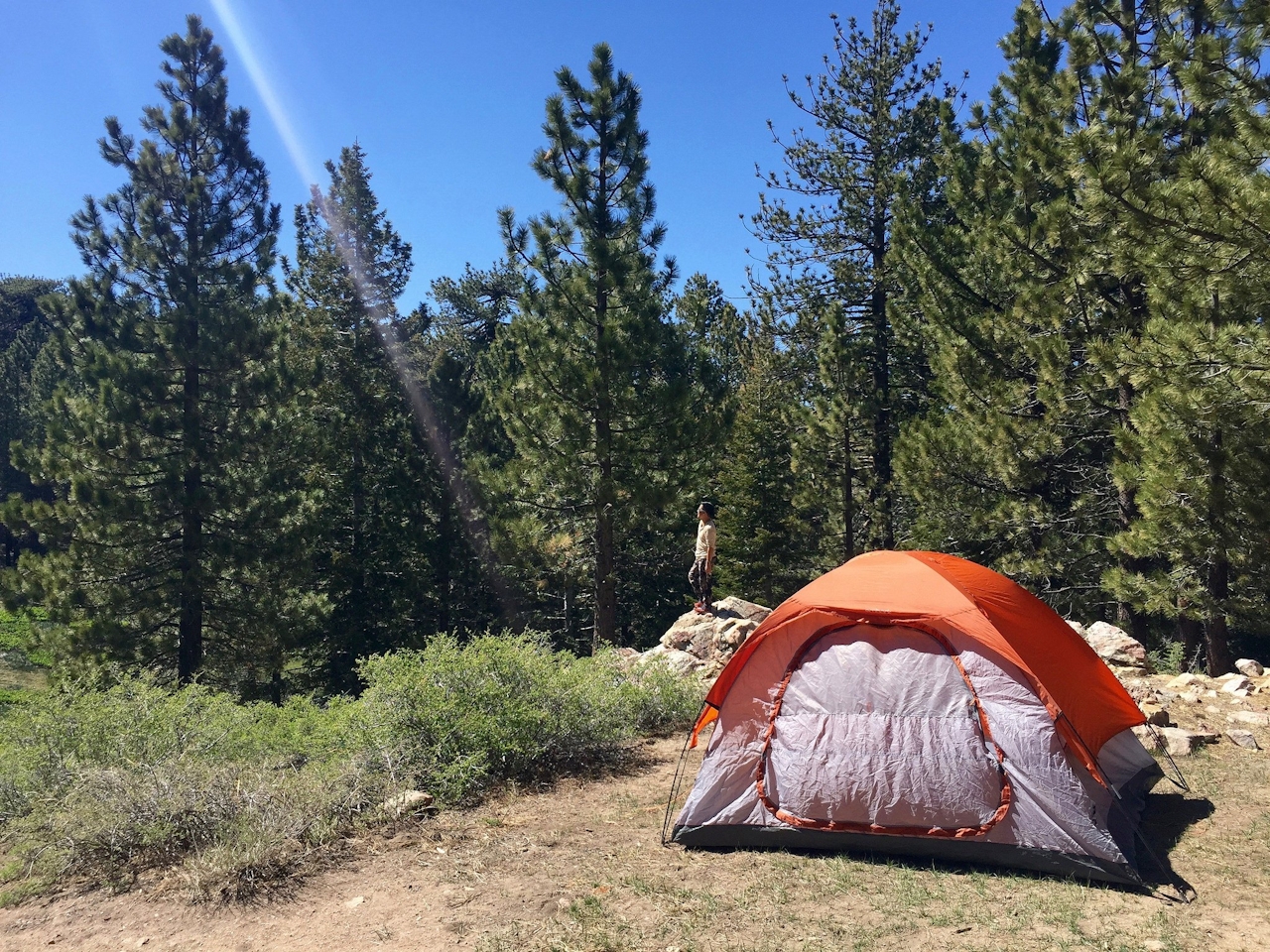
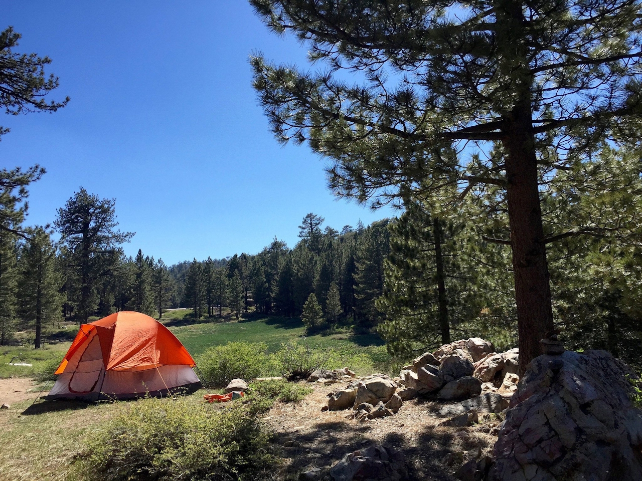
Though you can’t go wrong with any of the campsites here, take the first small spur trail on your left and hug the meadow to reach one of the three best spots: sites 10, 11, and 12. They offer the best meadow views and plenty of shade under the pines, where Nuttall’s woodpeckers drum against the trunks. Each site has a picnic table, fire pit with grill, and resident chipmunks to keep you company in this truly solitary setting. You’ll need to bring in your own water, so it’s like camping in the backcountry.

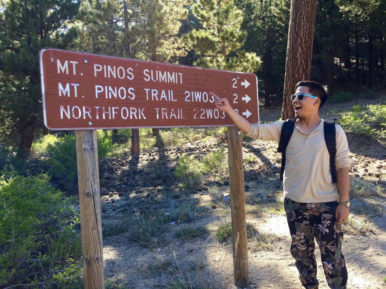
Take time to explore the trails around the grounds (on foot or mountain bike), but if you’re looking for a highlight hike, head to the southern end of the lot to the Mount Pinos (yes, that means “pines”) summit trail. It’s a gradual 2-mile hike to the 8,847-foot peak, the highest in Ventura County. The views northward of the San Joaquin Valley and Sierra Nevada make bagging this low-effort, high-reward peak a Chula Vista must. As a bonus, you might spot a California condor. That’s right—pretty views all around!
To get to Chula Vista Campground, take the I-5 to Exit 205 (Frazier Mountain Park Rd.), and head west. Go 7 miles and continue onto Cuddy Valley Rd. for 5 miles. Keep left to stay on Cuddy Valley Rd. and head up the mountain for 8.5 miles to the large campground parking lot. Camping is free.







