Peak at the Flowers

Hike at Mount Diablo for Big Views and Seasonal Hues

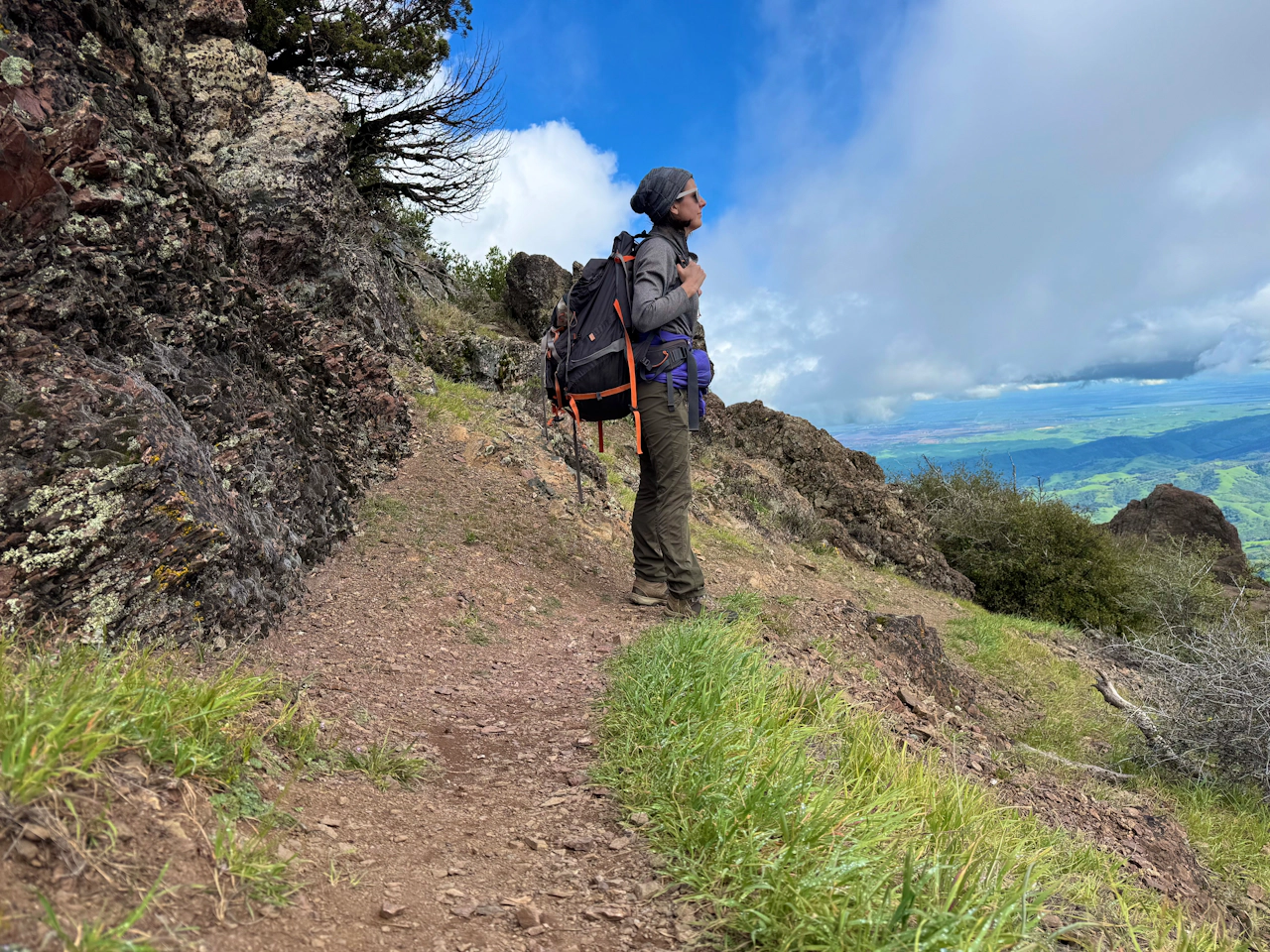
Terrific views and vibrant hues define this 4.8-mile out-and-back journey at Mount Diablo State Park.
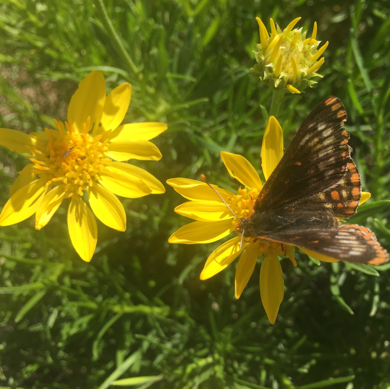
From the Junction Road Picnic Area, start up Junction Trail, then turn left onto Summit Trail to begin the ascent. Fragrant sagebrush mingles with showy warrior’s plume blossoms along this early stretch.
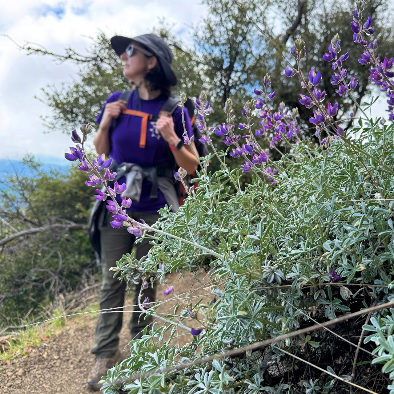
As the trail steepens, Mount Diablo rolls out the purple carpet. Lupine, blue witch nightshade, blue dicks, common stork’s-bill, bunchleaf penstemon, and Brewer’s rockcress add gorgeous pops of violet along the rocky terrain.

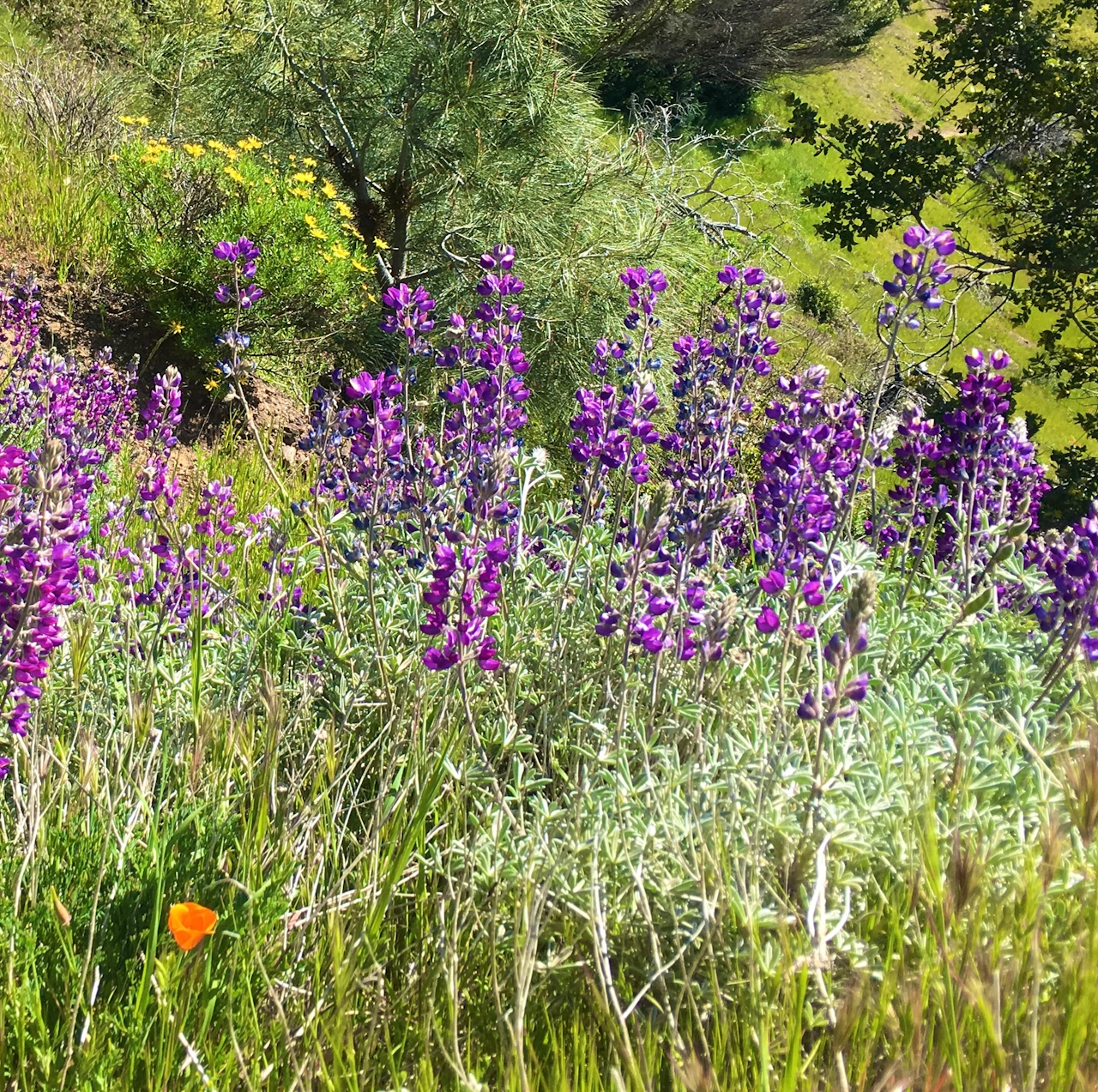
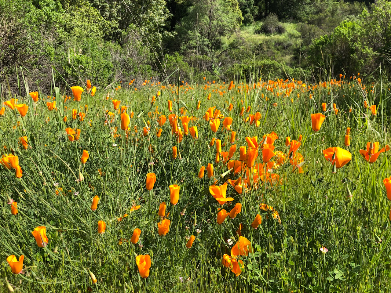
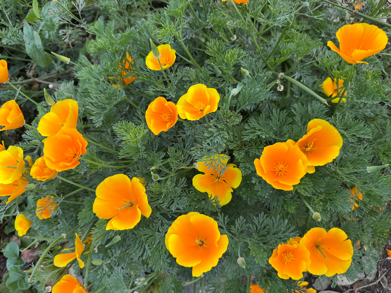
At the intersection with Summit Road, cross and continue on Summit Trail. After passing the outhouse, sharp-eyed hikers may notice shrubs and trees still bearing burn marks from the 2013 wildfires. Here, the palette shifts warmer, with bright orange California poppies, goldenbush, and sunny sand dune wallflowers.
At the junction with Mary Bowerman Trail, turn left onto the rocky path, then right onto Summit Trail to reach the summit of Mount Diablo. At 3,849 feet, the views stretch across the Bay Area—from the Sierra Nevada to the Golden Gate Bridge, and even Mount Lassen.
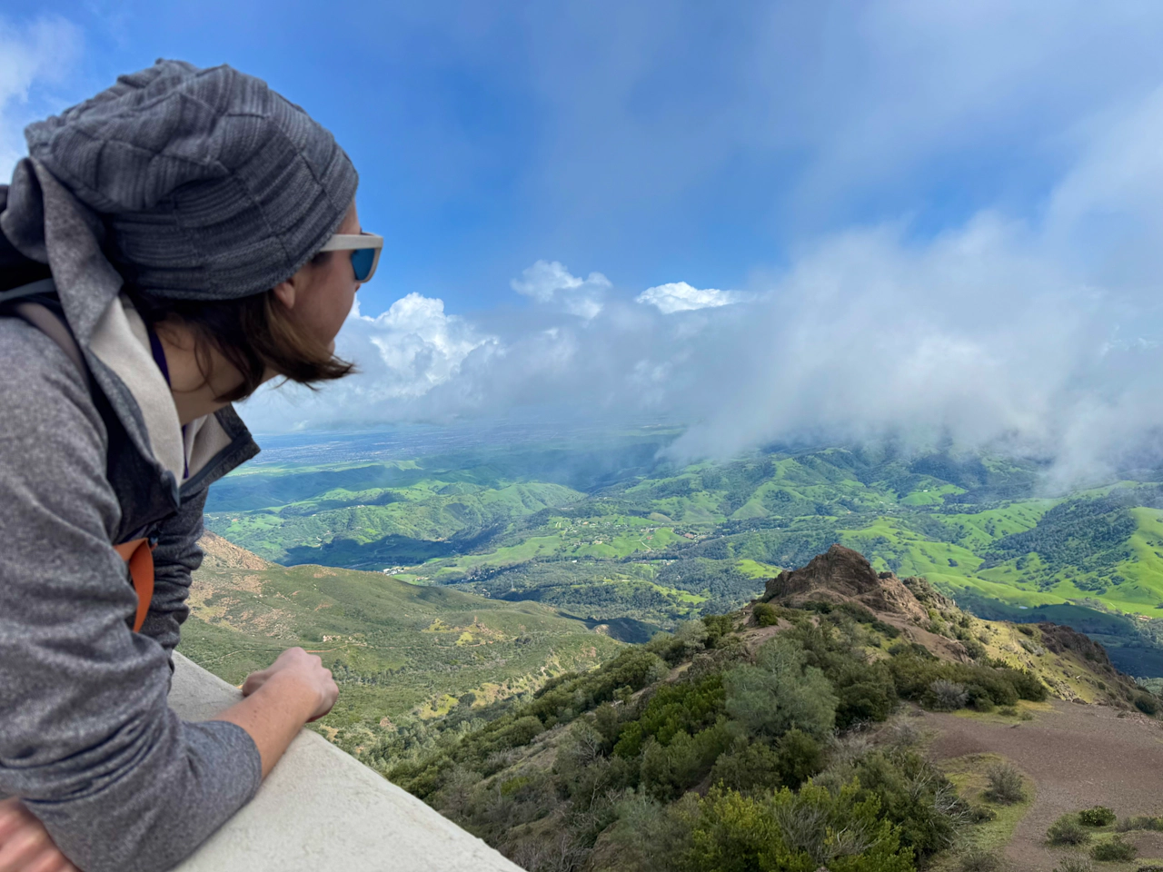
The summit was once rumored to have one of the longest views in the world, second only to Mount Kilimanjaro. Though that claim was debunked in 1994, standing at the top makes it easy to see why.

Explore the Summit Visitor Center, with interactive exhibits, viewing platforms, and a photo op at the mountain’s true high.

NOTE: Check temperatures before heading out and start early to avoid mid-day heat—especially on exposed hikes. Excessive heat can be dangerous. Rattlesnakes are more active in warmer weather and may be present on trails, so stay aware of your surroundings and watch where you step.

Story and photos by Heather Werner, @heath.er.wer.ner


Trending Stories NorCal

View all Stories
  1. Walk on the Wise Side

    A wise man once said, “Walk it off.” And San Francisco has just the place for a colorful walk via a 2.7-mile loop along Philosopher’s Way Trail in the 318-acre John McLaren Park (S

    View
  2. Hiker on the SCA trail in Marin Headlands with view of the Golden Gate Bridge

    Headlands Over Heels

    People come from all over the world to get a glimpse of the Golden Gate Bridge. Get a dramatic and novel view of the bridge without all the people on this moderate 6-mile hike in the Marin Headlands.

    View
  3. woman hiking Mt Tam east peak
    Sponsored

    Marquee Marin

    There may be no better place to find the best in coastal outdoors than the Marin Headlands. Bluff-side hiking trails, beautiful sandy beaches, big Pacific views, an iconic lighthouse, and unique lore in the area’s historic batteries are all part of the action here.

    View

Trending Stories SoCal

View all Stories
  1. Woman hiking the San Onofre Bluffs Loop Trail to San Onofre State Beach in San Diego County

    Bluffing Good!

    Lovely coastline, beautiful beaches, unique geological history, and picturesque sandstone cliffs with limited foot traffic in San Diego County? Head to San Onofre State Beach and the 5-mile San Onofre Bluffs Loop Trail.

    View
  2. Can We Get a Whoop Whoop!

    City, mountain, and ocean views all in one hike? Whoop whoop! It’s no surprise the the Kenter Fire Road and Whoop-de-Doos Trail (a combo of fire road and singletrack) is a favorite among local mountain bikers and hikers alike.

    View
  3. The Big Chill

    In LA, finding a place to chill can be the ultimate flex. So flex, in Franklin Canyon! This unexpected oasis has plenty of shade, cool lake breezes, and ample picnicking spots. Enjoy it on an easy-going 1-mile stroll along its reservoir and duck pond.

    View