Chino Chimes
Hike Eucalyptus South Loop in Chino Hills


The 2.5-mile Eucalyptus South Loop in Chino Hills proves you don’t have to go far to find beautiful places to see the beauty of a late day sun.
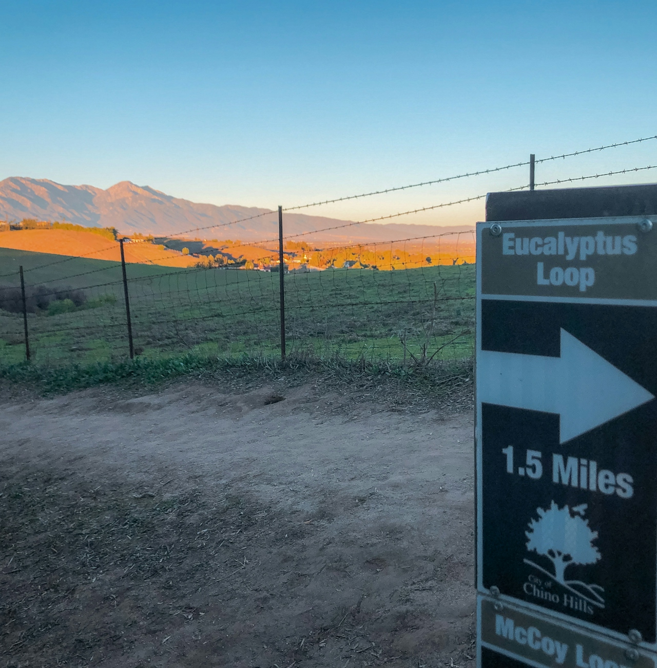
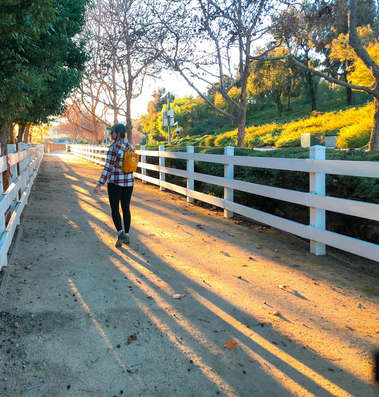
This moderate loop begins in Chino Hills Community Park. Half the loop parallels city streets, but the trail is separated from the road by a picket fence and is lined with towering eucalyptus trees. Frequent signs with arrows (and some with mile markers) ensure an easy-to-follow route. Strolling the first 1.3 miles it’s relatively flat and easy. The path eventually turns away from the street and down what looks like a storm drain in an alley between houses. This section is very brief—only 0.2 mile—and then you’ll be on Eucalyptus Trail.
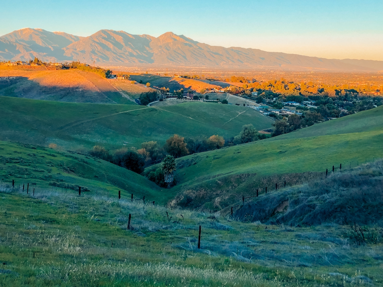
Pack in 377 feet of elevation gain as the trail makes its way up towards a viewpoint worthy of the climb. The rolling hillsides look pastoral, almost like beautiful European countryside. As the sun begins to set, it casts a beautiful glow on the San Gabriel and San Bernardino Mountains, giving true meaning to the phrase “purple mountain majesty.” Watch the show from one of the benches here.
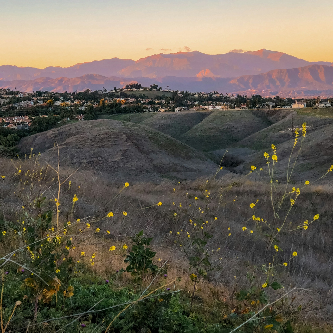
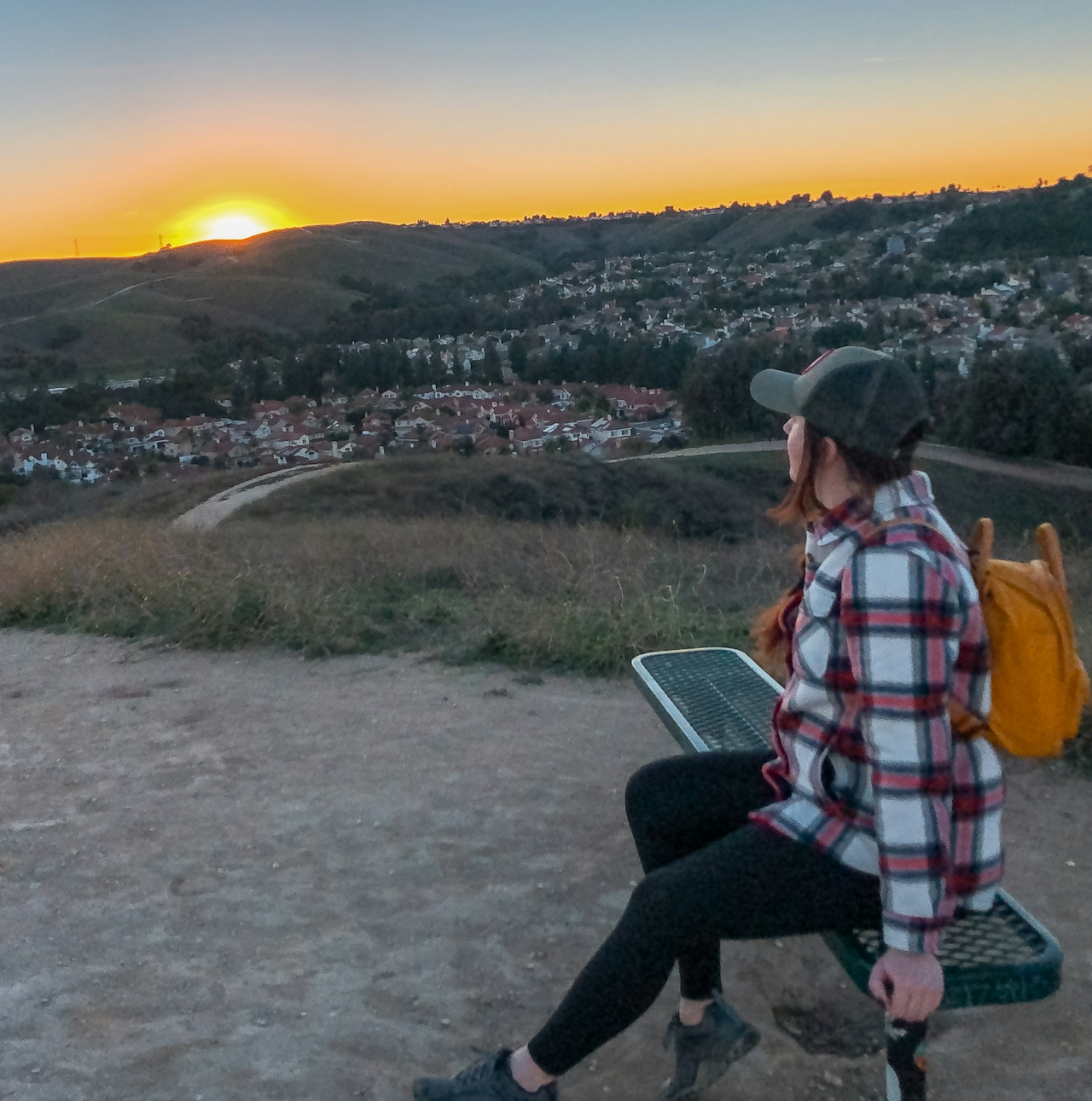
It’s all downhill from here, as the sun finally dips below the hillside and views continue to amaze. Listen for the sound of roosters, horses, and cows as you make your way back, and keep your eyes open for rabbits along the trail.
Tip: If you want to skip the street section of the loop or are pressed for time, just head counterclockwise at the trailhead and do the Eucalyptus Trail as an out-and-back, which is roughly 1-mile roundtrip to the summit and back.
{January 2024 Note: Due to recent rains, be sure to check trail conditions before embarking on this hike.} The Eucalyptus South Loop trailhead is located in the Chino Hills Community Park. Location. Parking is free. Park is open from 30 minutes before sunrise to 30 minutes after sunset. Bring a headlamp or flashlight if you're going later in the day or to catch part of a sunset. Dog-friendly (must remain on a leash 6 feet long or shorter).
Story and photos by Natalie Bates, @wanderwithnatalie







