Challenge of a Big Sizer!
Hike Mount Sizer, the toughest mountain in the Bay Area

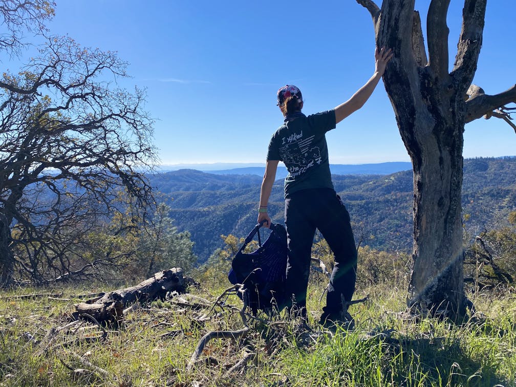
If ever there was a "Beauty and the Beast" hike, this is it! The 15-mile (round-trip) Mount Sizer loop hike in Henry W. Coe State Park is considered the toughest in the Bay Area. And cooler months are the best time to tackle it. Up front, this is a very challenging and demanding hike—trekking poles are recommended, and so is experience. The reward? Well, bragging rights of course! And, one of the most beautiful panoramas in the region ... all the way out to the Sierras on clear days. Hiking game face ready? Okay! Lace up your boots, pack plenty of food and water, bring a map, and hit the trail!


From the Coe Ranch Visitor Center, follow Monument Trail as it winds uphill. Henry W. Coe is the largest state park in northern California, and as hikers gain elevation, they can catch a glimpse of its thousands of acres of rolling hills to the east. At the intersection with Hobbs Road, turn left and descend toward Frog Lake, an idyllic wildlife-viewing pond with a nearby toilet. From here, Hobbs Road continues upward, leading hikers up Middle Ridge. Once atop the ridgeline, the summit of Mount Sizer is visible in the distance. Take in the gorgeous views before starting the steep descent into the valley. A toilet situated among the switchbacks is the last one for several miles, so plan accordingly.
The lowest point in the valley is Coyote Creek, and hikers can rock-hop across or take off their shoes and wade through the cool stream. Be sure to take a break at the water’s edge, because the next portion of the hike is the infamous “Shortcut.” This steep path gains 1,400 feet of elevation in 1.4 miles and comes with its own bonus challenge: any hiker who can climb from the creek to the top of Blue Ridge in fewer minutes than their age wins bragging rights among the locals.


When you finally emerge victorious on top of Blue Ridge, relax on the bench to catch your breath. To the right, follow Blue Ridge Road for about a mile to reach the Mount Sizer summit. The peak isn’t clearly marked, but look for the high point on the ridgeline and a dirt path to the top. At 3,216 feet, stunning views from the summit stretch all the way to the snow-capped Sierras.


Once you’ve taken in your fill of the scenery, continue along Blue Ridge Road. Wildfires have left their mark on the surrounding trees, giving this stretch of trail an eerie quality. At the intersection with Jackass Trail, turn right onto the beautifully wooded footpath, a refreshing change of pace after miles on dirt roads. At the next intersection, turn right onto Poverty Flat Road, which runs alongside Coyote Creek. Watch out for wildlife along the water’s edge, including the California newts who call this place home. The trail once again crosses over the creek, and on this wide stretch, it’s best to remove your shoes and wade across. Let your feet soak up the cool relief before the final push back to Coe Headquarters.

Beyond the creek, Poverty Flat Road angles sharply uphill, one last challenge for weary hikers. Follow signs for Coe Headquarters along Manzanita Point Road and Corral Trail to finally return to the visitor center. Congratulations on completing the toughest hike the Bay Area has to offer!
The Henry W. Coe Park entrance for this hike is located at 9000 E. Dunne Ave., Morgan Hill. From Hwy. 101 in Morgan Hill, take the E. Dunne Ave. exit and go east past Anderson Lake to the end of the county road to the park headquarters. A day-use fee of $8 will be collected at the front gate. Bring plenty of food and plenty of water and a spare pair of quality hiking socks. Allow yourself plenty of time to do this hike. Bring a map! No dogs.
Story and photos by Poe Casavant


