Secret Stash of Redwoods

Hike Redwoods Trails in Napa

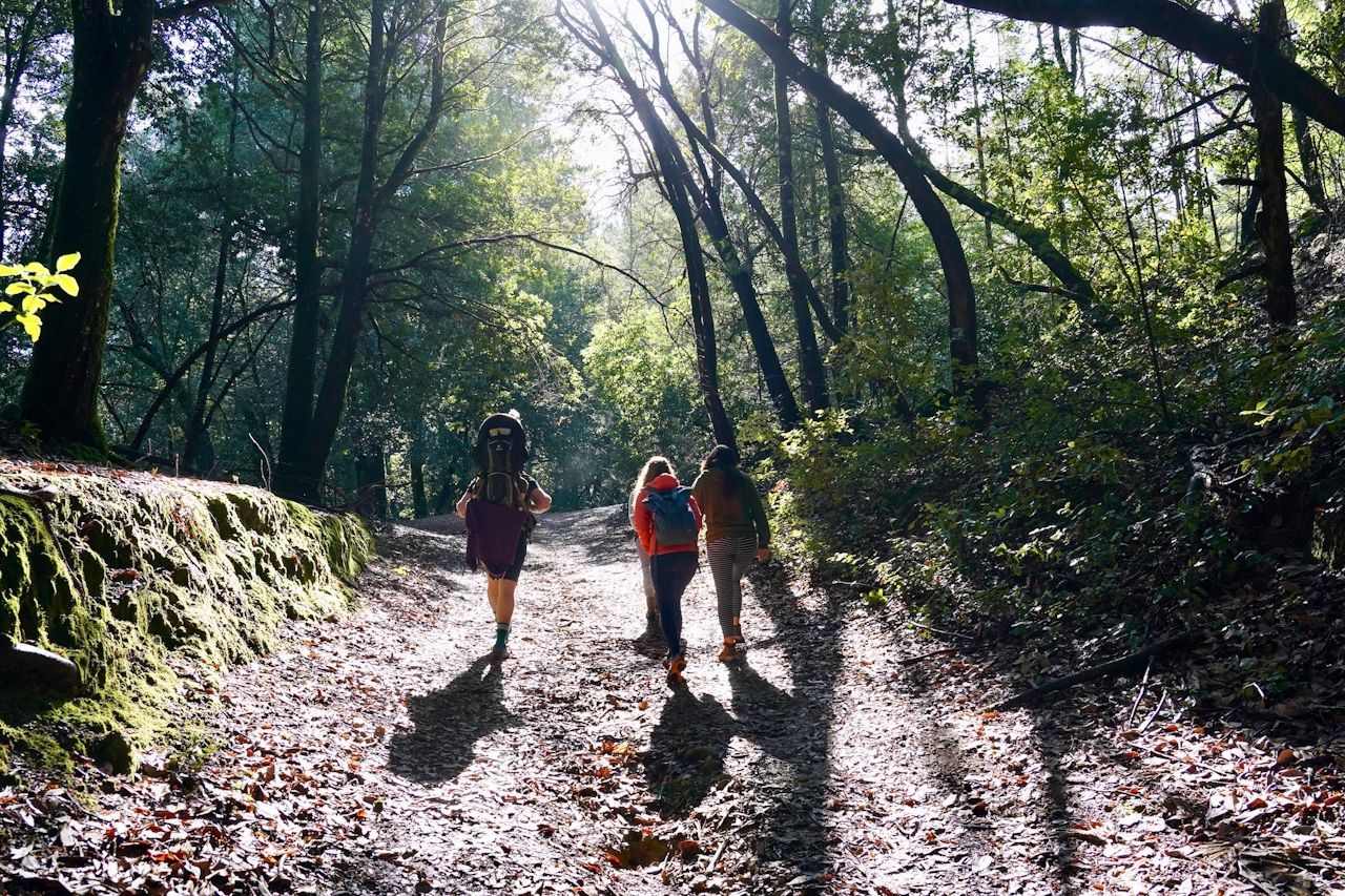
Did you know there’s a college tucked up in Napa County? And it’s got plenty of wide-open space for hiking. Located in the tiny town of Angwin, Pacific Union College has 864 acres of forest that are now open to the public.
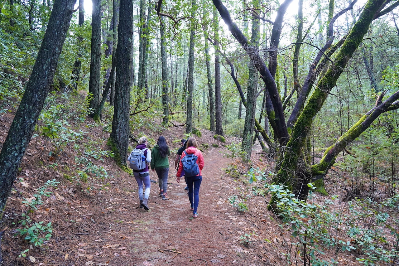
It’s a pretty big deal since this land of mixed forest—pine, oak, Douglas fir, and coast redwood—has been private since the early 1900s. How’d this happen? It’s complicated. But it ends in conservation initiatives, and that’s worth celebrating.

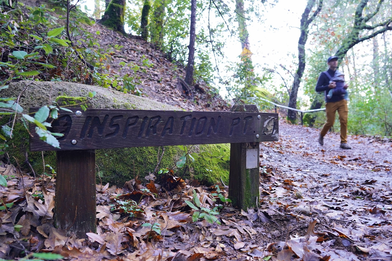
Currently there are 35 miles of trails open for hiking and biking, including a 2.9-mile addition to the Bay Area Ridge Trail. Hike this section and enjoy Inspiration Point, a rail-guarded outcropping with a beautiful view of Pope Valley. The land isn’t fully equipped with great trail signs yet, so pay attention and bring a map, then enjoy the riches of conservation: nature preserved.
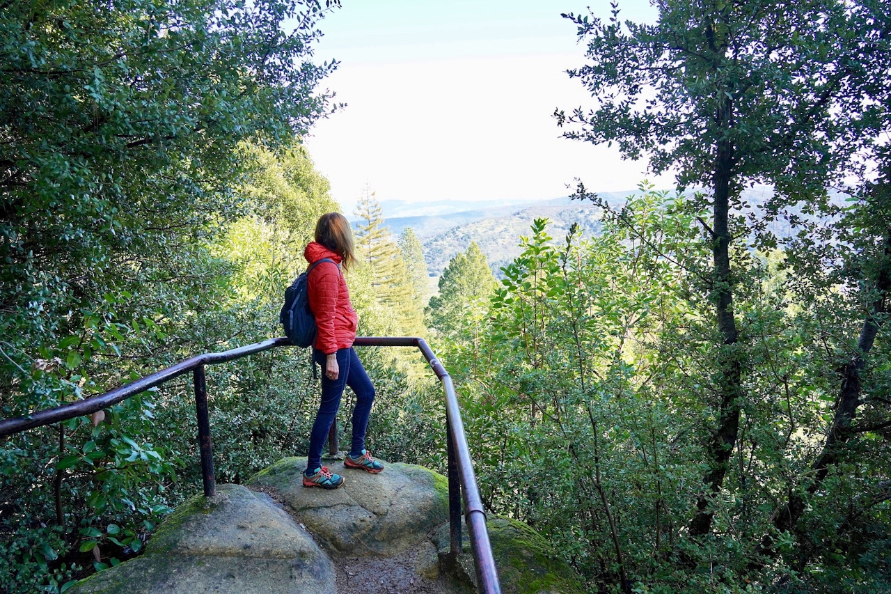
Hiking among redwoods in Napa

Quick trivia: What’s our state butterfly? Hint: its existence depends on an endemic flower found in the forest here, called Napa false indigo! Name that butterfly!

BONUS WINE:You’re so close to all the good wine! Take your pick of Napa County yum, but a winery we find interesting is Raymond for its friendliness and eccentricity. Wine club takes on a double-entendre here. The Crystal Cellar bar is where you should taste for outstanding Cabs, made all the more interesting by the surrounding ambient lighting and other eye-catching décor. For food, the fried chicken sandwich, garlic fries, and Oreo milkshakes at Gott’s Roadside hit the spot.
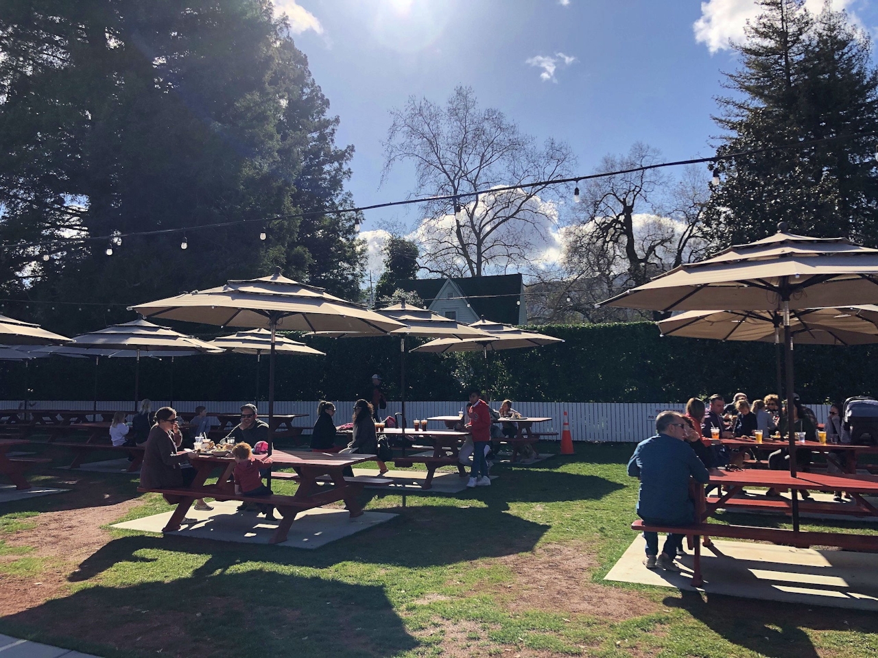
Gott

Download a map of the Pacific Union College trails. Park at the Las Posadas trailhead in Angwin. Enter the gate and follow the trail going straight, not right paralleling the road. Continue for a couple of minutes and find the “2” trail marker. Continue straight again at the “14” trail marker. This is the Mossy Rock Trail. Stay on this all the way to Inspiration Point, following the signs, and return the way you came. Dog-friendly!

Trending Stories NorCal

View all Stories
  1. Woman with her arms outstretched to the rolling hills scenery while on a rock outcrop at Barnabe Peak in Samuel P Taylor Sate Park in Marin

    Barnabe Bonanza

    Sure, there are higher mountains in Marin (Mount Tam) and easier ascents (Mount Burdell), but is there a more expansive North Bay view? Barnabe Peak in Samuel P. Taylor State Park offers a glorious panorama including Mount Tam, Mount Diablo, and Mount St. Helena.

    View
  2. Tamtastic Sunset

    Sure, the East Peak of Mount Tam is absolutely spectacular at sunset, but some magic-hour enthusiasts head to a nearby spot, Trojan Point, for a little more personal space in their panoramic viewings.

    View
  3. Hiker on the SCA trail in Marin Headlands with view of the Golden Gate Bridge

    Headlands Over Heels

    People come from all over the world to get a glimpse of the Golden Gate Bridge. Get a dramatic and novel view of the bridge without all the people on this moderate 6-mile hike in the Marin Headlands.

    View

Trending Stories SoCal

View all Stories
  1. Woman hiking the San Onofre Bluffs Loop Trail to San Onofre State Beach in San Diego County

    Bluffing Good!

    Lovely coastline, beautiful beaches, unique geological history, and picturesque sandstone cliffs with limited foot traffic in San Diego County? Head to San Onofre State Beach and the 5-mile San Onofre Bluffs Loop Trail.

    View
  2. Can We Get a Whoop Whoop!

    City, mountain, and ocean views all in one hike? Whoop whoop! It’s no surprise the the Kenter Fire Road and Whoop-de-Doos Trail (a combo of fire road and singletrack) is a favorite among local mountain bikers and hikers alike.

    View
  3. The Big Chill

    In LA, finding a place to chill can be the ultimate flex. So flex, in Franklin Canyon! This unexpected oasis has plenty of shade, cool lake breezes, and ample picnicking spots. Enjoy it on an easy-going 1-mile stroll along its reservoir and duck pond.

    View