A Very Muiry Holiday Hike

Hike the East Bay's New Open Space Preserve Carr Ranch

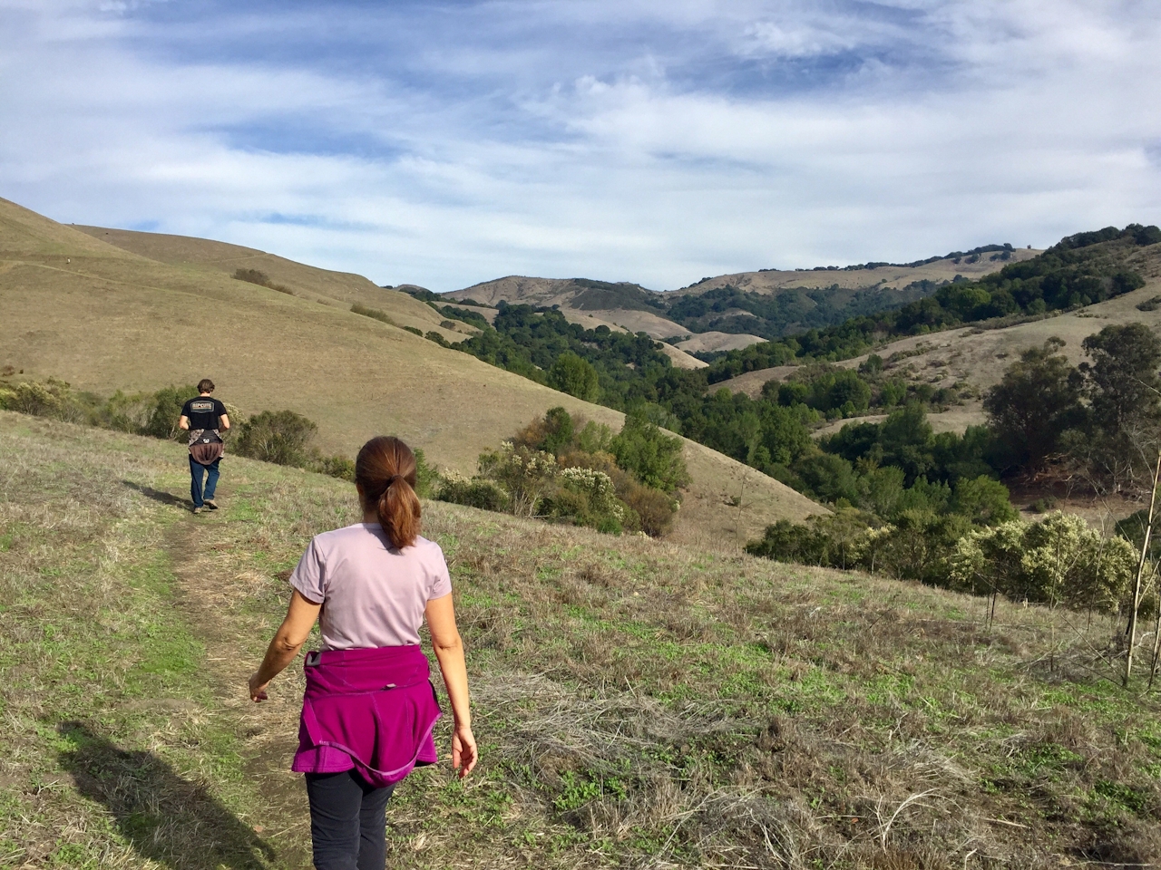
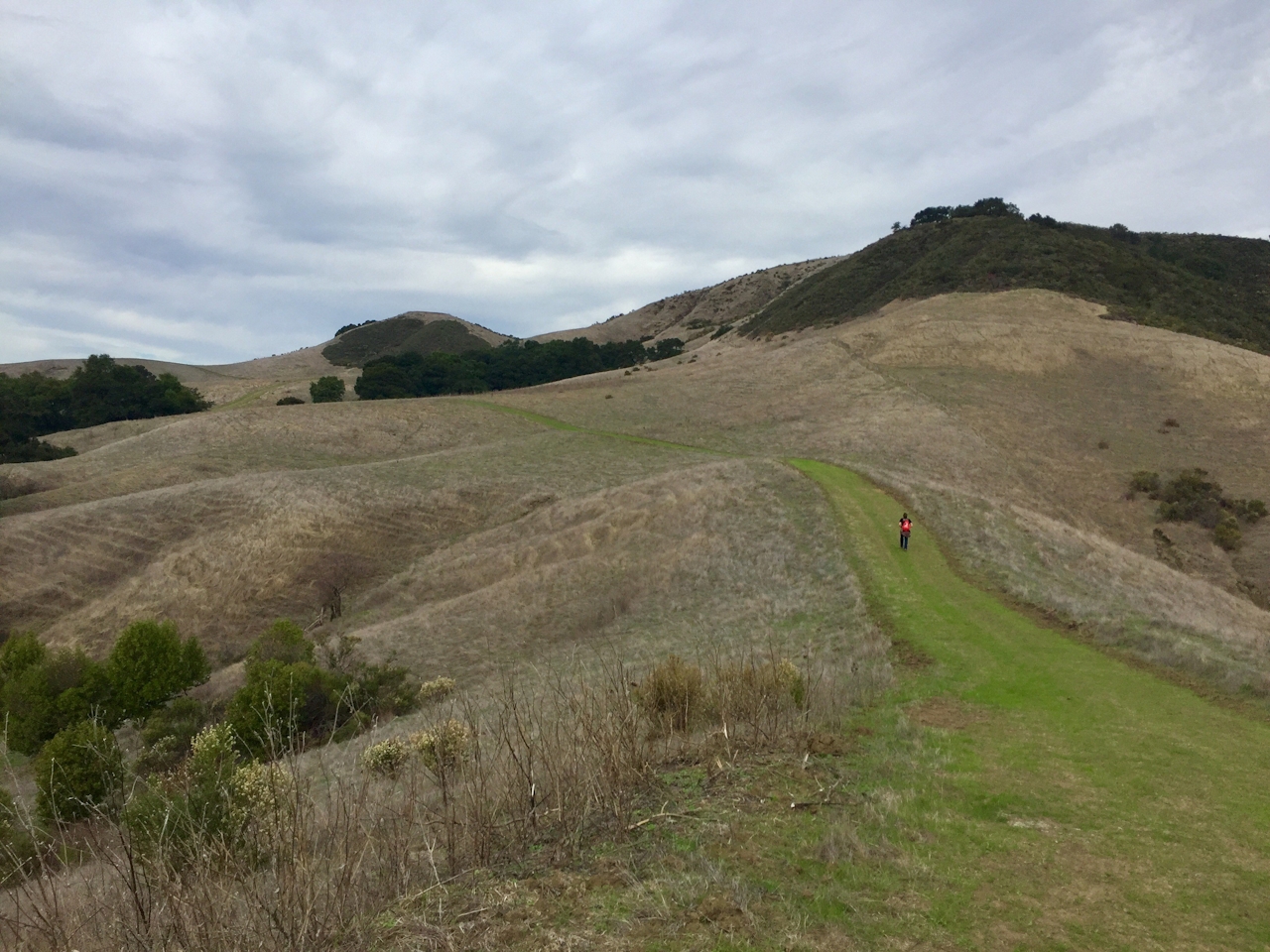
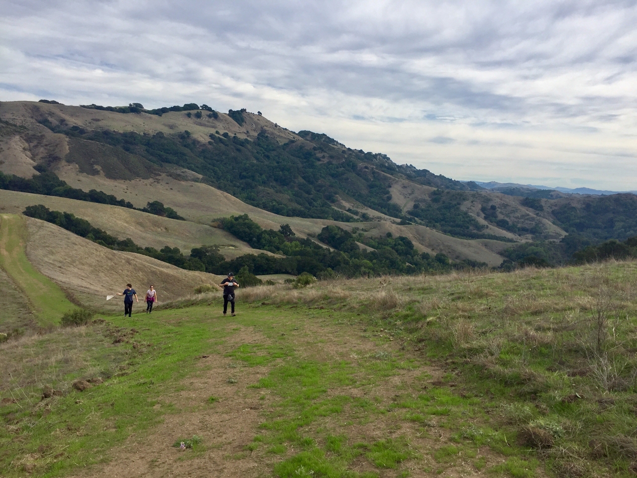
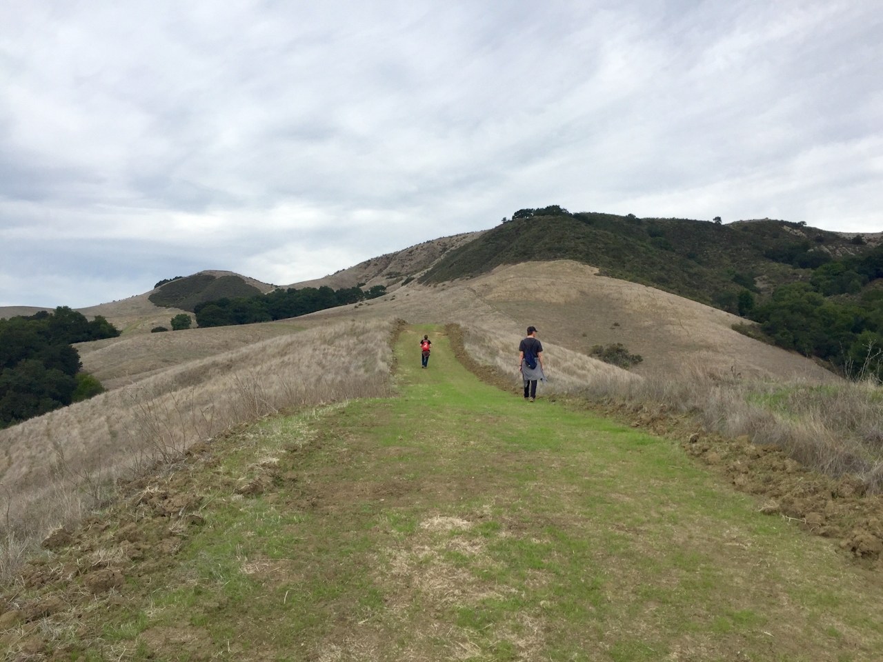
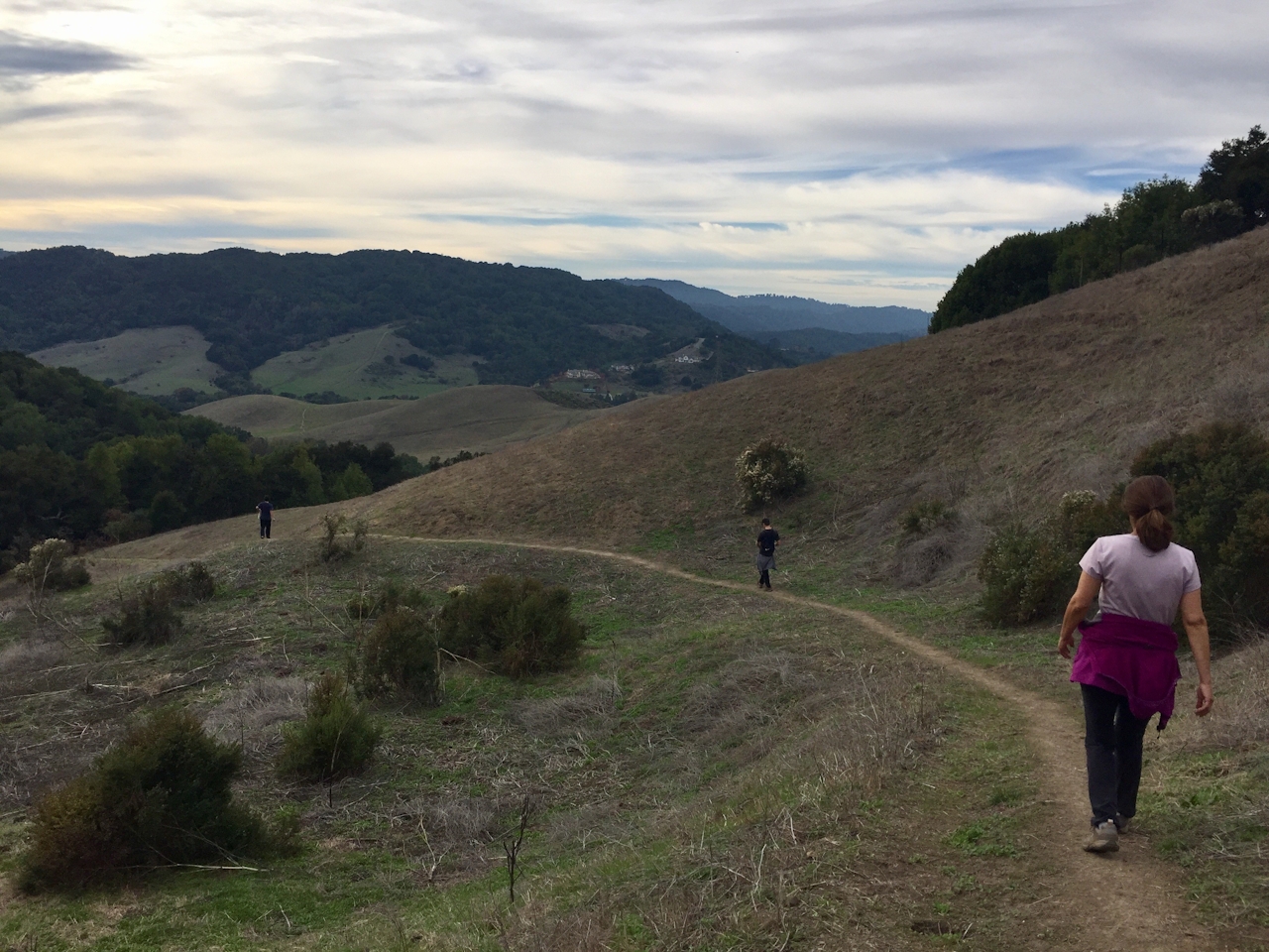
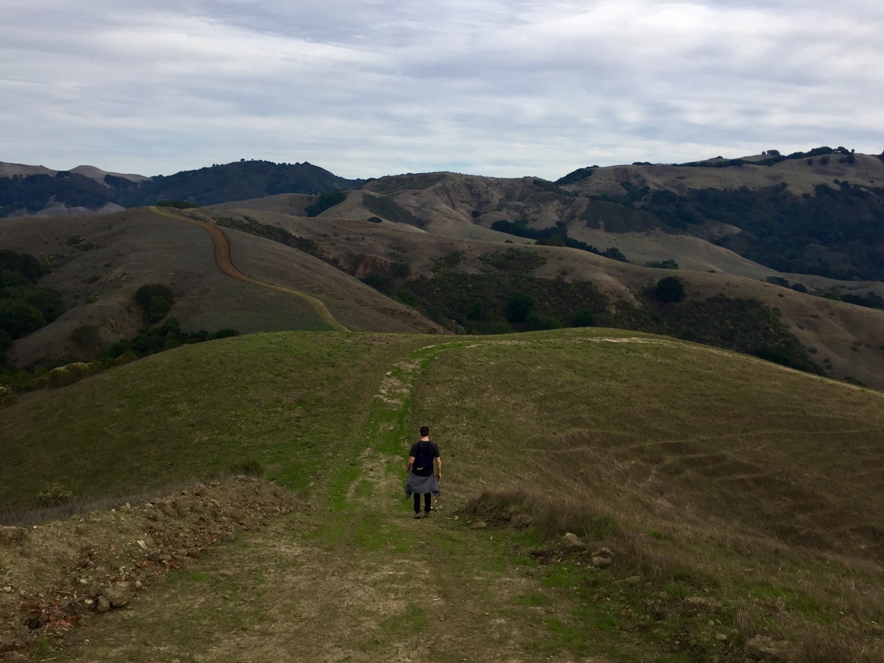
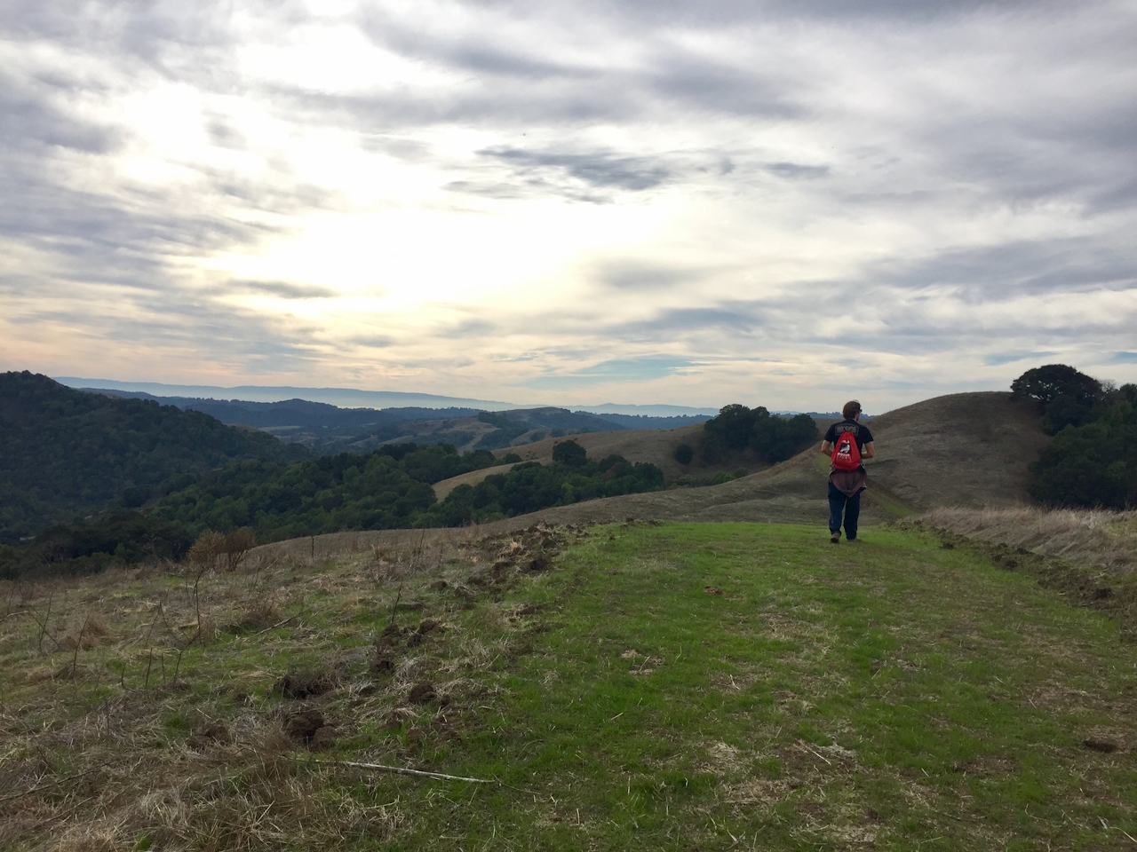
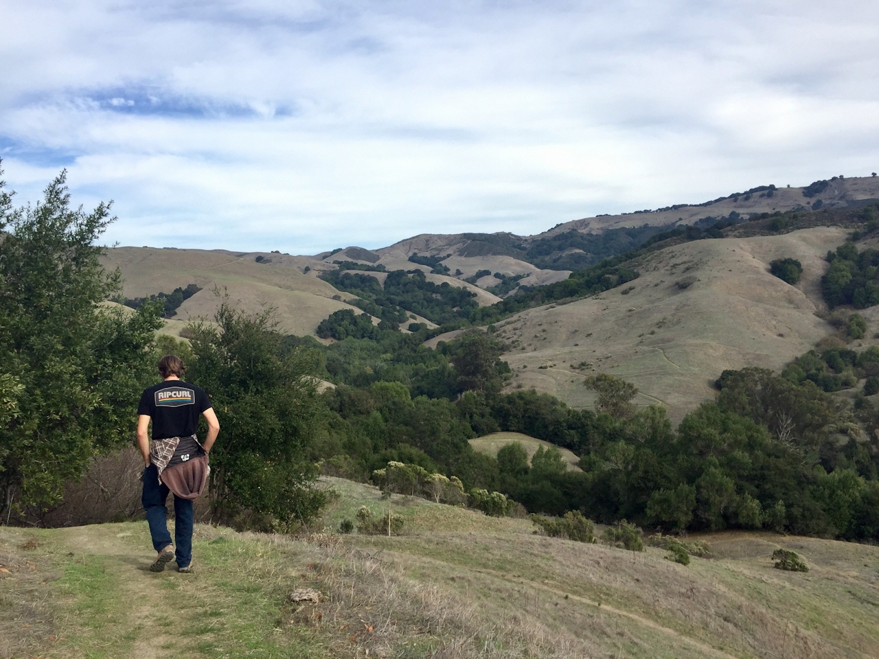
We know the North Pole is currently all the rage with elves preparing gifts, but here in NorCal there’s something exciting afoot, too. We’ve got some new hiking open space! Thank the John Muir Land Trust, the East Bay Municipal Utility District (EBMUD), and donors for successfully completing their campaign to save Moraga’s Carr Ranch. Owned for over 100 years by the Carr family, the 604-acre ranch harbors unique ecosystems for plant and animal life and gives hikers gorgeous views of the East Bay within its seemingly endless rolling green hills.

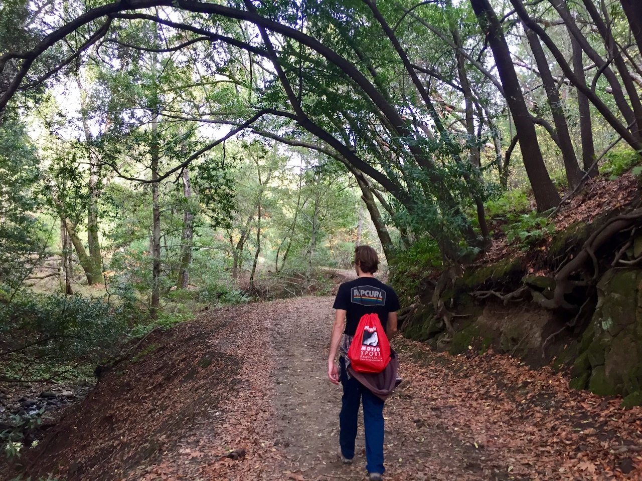
Carr Ranch is not only beautiful, it’s essential—the creeks on the ranch drain into the Upper San Leandro Reservoir, which provides drinking water for the East Bay. See the bounty of this land on an 8.5-mile (round-trip) hike that starts at Moraga’s Laguna Park. Take EBMUD’s Rocky Ridge Trail for about 2.5 miles through oak trees and along a small creek. You’ll reach the Carr Ranch Loop Trail and follow signposts counter-clockwise, which allows easier climbs and more time facing the views!
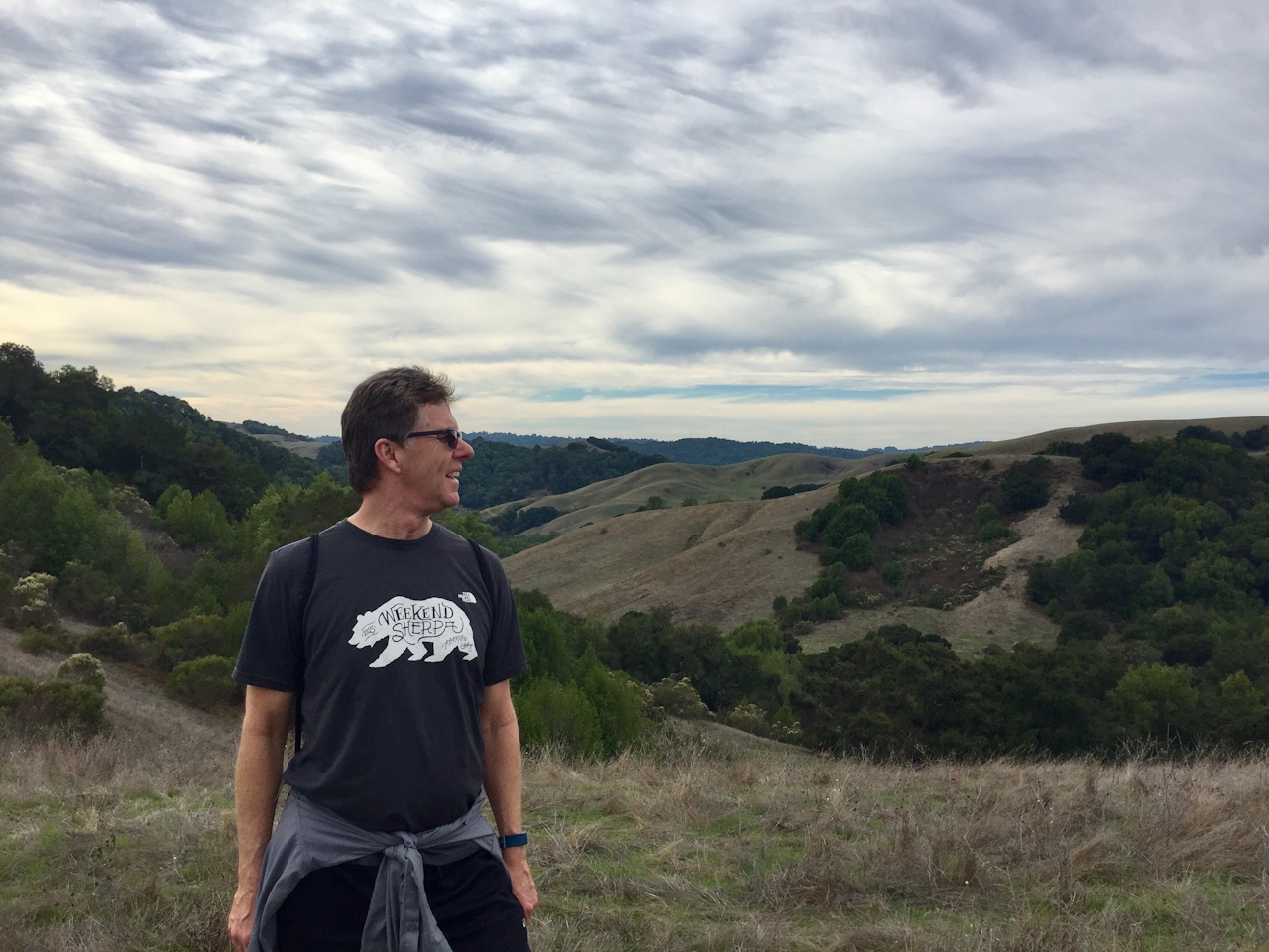
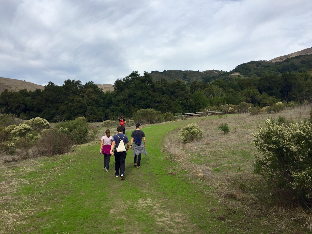
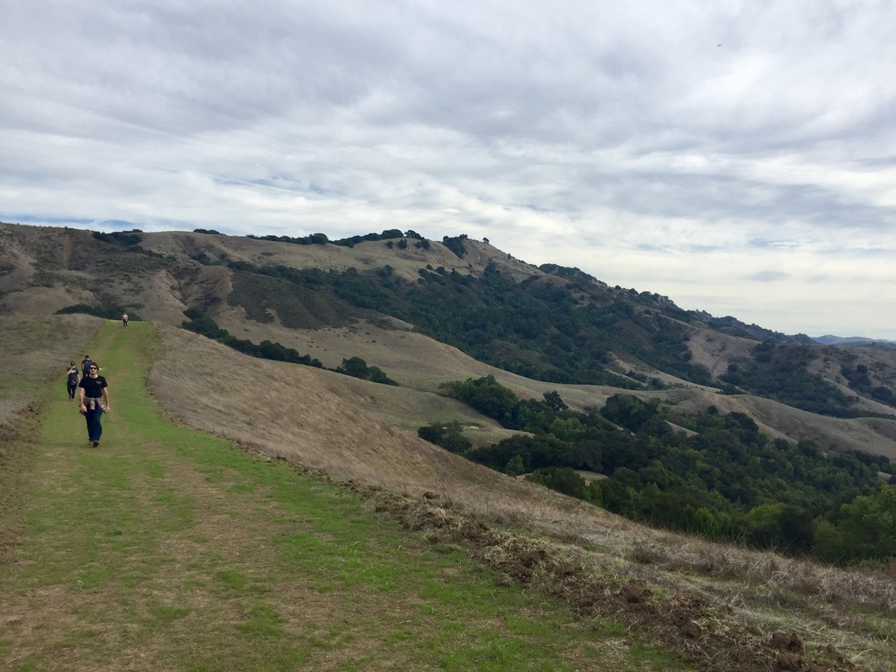
The 3.5-mile Carr Ranch Loop has some relatively steep ups and downs, but the rewards are views of the ranch hills and all the way to the bay from the highest points. After completing the loop, follow the Rocky Ridge Trail back down. Hallelujah!

From Moraga, drive south on Canyon Rd. and turn left on Camino Pablo. Take Camino Pablo about 1.7 miles to Rancho Laguna Park. The EBMUD trailhead is at the fence behind and to the left of the play area. Follow the signs for Rocky Ridge Trail and Carr Ranch Loop Trail. EBMUD trail permit required (just $10 per year) and EBMUD rules apply. Bring water and snacks because this hike takes about four hours. No biking. Dog-friendly!

Trending Stories NorCal

View all Stories
  1. Woman with her arms outstretched to the rolling hills scenery while on a rock outcrop at Barnabe Peak in Samuel P Taylor Sate Park in Marin

    Barnabe Bonanza

    Sure, there are higher mountains in Marin (Mount Tam) and easier ascents (Mount Burdell), but is there a more expansive North Bay view? Barnabe Peak in Samuel P. Taylor State Park offers a glorious panorama including Mount Tam, Mount Diablo, and Mount St. Helena.

    View
  2. Hiker on the SCA trail in Marin Headlands with view of the Golden Gate Bridge

    Headlands Over Heels

    People come from all over the world to get a glimpse of the Golden Gate Bridge. Get a dramatic and novel view of the bridge without all the people on this moderate 6-mile hike in the Marin Headlands.

    View
  3. Cheers to Chimney

    If you’re looking for all that Point Reyes has to offer in spring, Chimney Rock is the place to be. The 1.75-mile (round-trip) hike to Chimney may be short, but it packs a visual punch, quadrupling the viewing thrills during spring.

    View

Trending Stories SoCal

View all Stories
  1. Woman hiking the San Onofre Bluffs Loop Trail to San Onofre State Beach in San Diego County

    Bluffing Good!

    Lovely coastline, beautiful beaches, unique geological history, and picturesque sandstone cliffs with limited foot traffic in San Diego County? Head to San Onofre State Beach and the 5-mile San Onofre Bluffs Loop Trail.

    View
  2. Can We Get a Whoop Whoop!

    City, mountain, and ocean views all in one hike? Whoop whoop! It’s no surprise the the Kenter Fire Road and Whoop-de-Doos Trail (a combo of fire road and singletrack) is a favorite among local mountain bikers and hikers alike.

    View
  3. The Big Chill

    In LA, finding a place to chill can be the ultimate flex. So flex, in Franklin Canyon! This unexpected oasis has plenty of shade, cool lake breezes, and ample picnicking spots. Enjoy it on an easy-going 1-mile stroll along its reservoir and duck pond.

    View