Hike to Hidden Falls

Hike to Hidden Falls in the Sierra Foothills

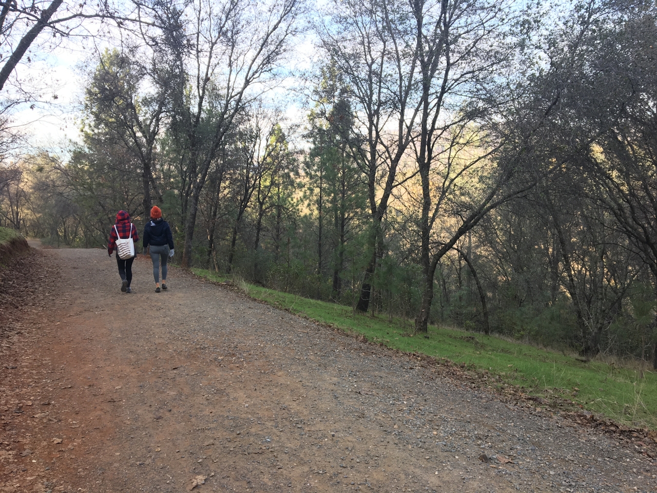
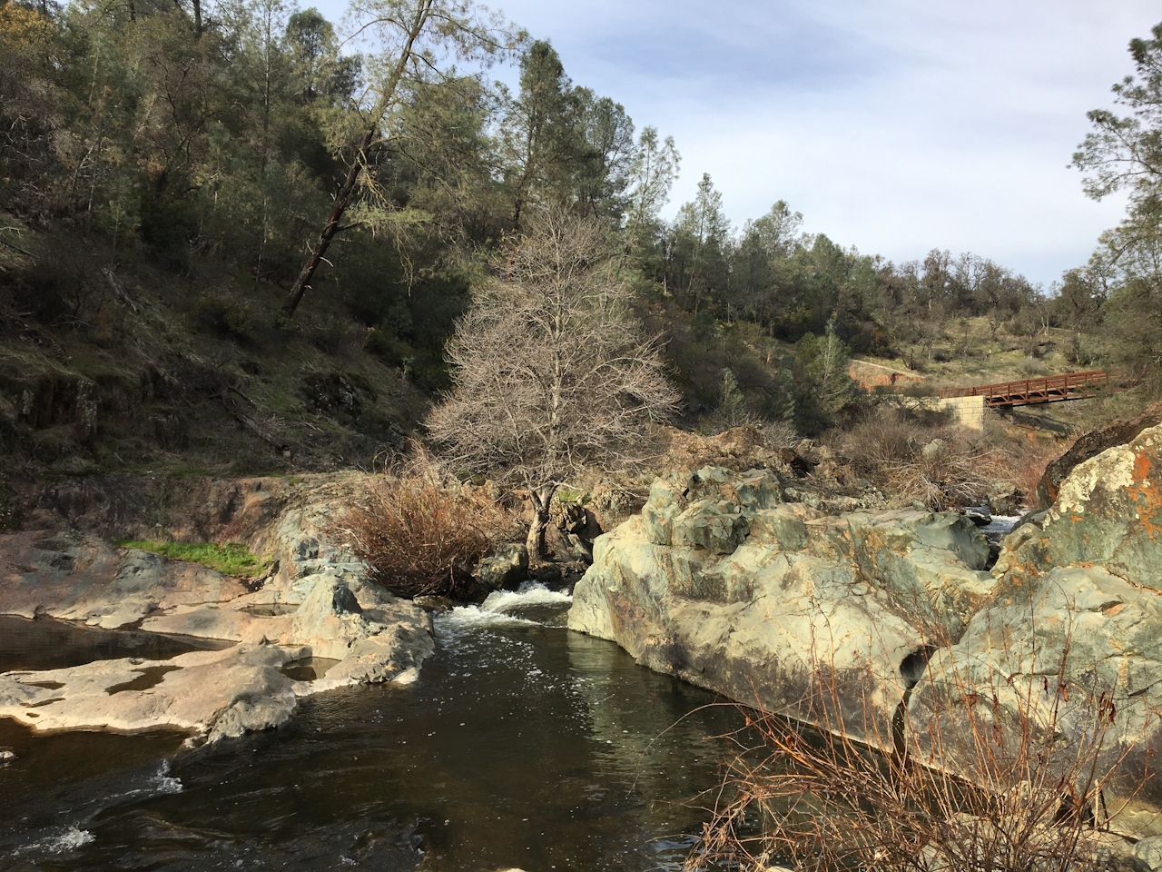
Rain, sun, rain, wind, partial sun, rain … what’s a hiker to do? Go with the flow! Or rather, go to the flow. Hidden Falls Regional Park in the Sierra foothills near Auburn has 30 miles of multi-use trails, the most popular of which is the 2.5-mile (round-trip) route leading to Hidden Falls.

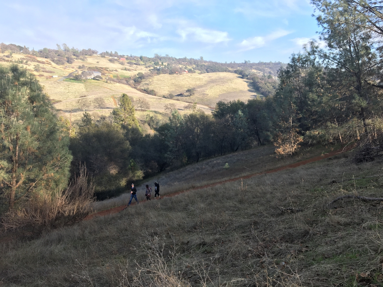
For an easy stroll, take the wide oak-lined service road toward South Legacy Way, which ascends the grassy hillside, with dramatic views of the valley beyond. At Deadman Creek, cross the bridge and head west onto the Hidden Falls Access Trail, a rocky path that creeps along the canyon’s edge.
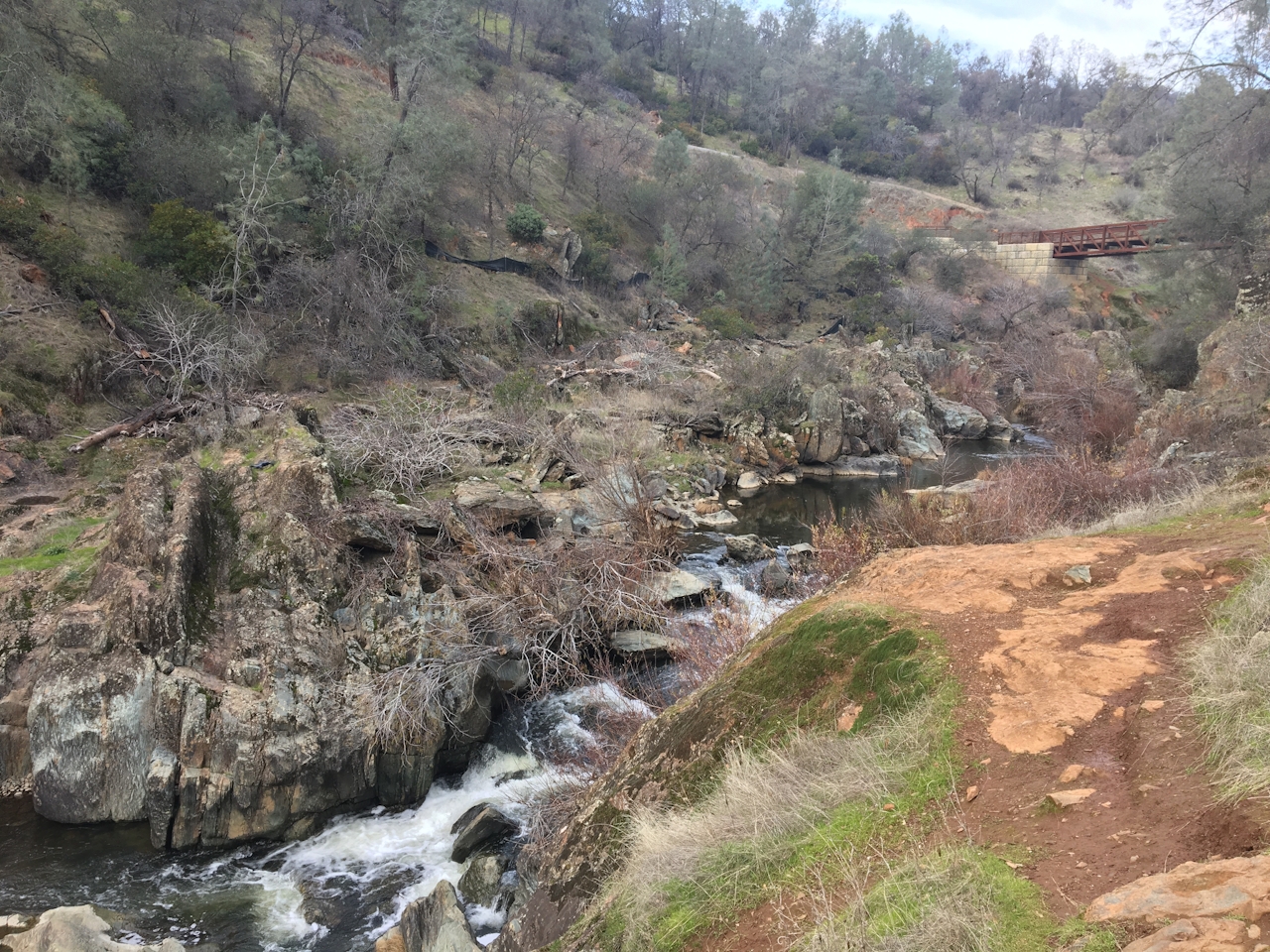
You’ll hear the falls before you see them. Even pre-snowmelt, they’re at full gush thanks to steady flows from Coon Creek. A small observation deck will get you up close and personal, and a few hundred feet up the trail is a popular (i.e., crowded) spot for lounging on boulders, skipping rocks, and (in summer) taking a dip. It’s also a good turnaround point. Another option is to continue on, taking in the scenery from Canyon View Bridge or exploring the half-dozen other trails that converge here. Free flow.

BEFORE YOU GO: Parking reservations are required on all weekends and holidays, and passes sell out during busy times. No parking reservations are issued at the site. To reach Hidden Falls Regional Park, take Hwy. 49 north from I-80 in Auburn. After 2.7 miles, turn left on Atwood Rd., then right on Mount Vernon Rd. At Mears Dr., turn right and follow the signs to the parking lot. Parking is $8 for a full day and $4 for a partial day. Dog friendly!

Trending Stories NorCal

View all Stories
  1. Sponsored

    Reno Mountain High

    Take your vacation to new heights with some of the season’s most original events, and plenty of outdoors to explore. Fall for it all in Reno Tahoe.

    View
  2. Hiker on the SCA trail in Marin Headlands with view of the Golden Gate Bridge

    Headlands Over Heels

    People come from all over the world to get a glimpse of the Golden Gate Bridge. Get a dramatic and novel view of the bridge without all the people on this moderate 6-mile hike in the Marin Headlands.

    View
  3. Roaring Redwoods

    Tucked next to brilliant Henry Cowell Redwoods State Park in Santa Cruz, the folks at Roaring Camp Railroads had a bright idea: When the sun goes down, the rainbow lights come up. Sequoias at Night brings big magic to some of the tallest trees in the world.

    View
  4. Greater by the Dozen

    This hike is anything but a dime a dozen. The all-new "Golden Gate Dozen Trail" links 12 National Park sites on a spectacular 13-mile journey across San Francisco's coastline.

    View

Trending Stories SoCal

View all Stories
  1. The Big Chill

    In LA, finding a place to chill can be the ultimate flex. So flex, in Franklin Canyon! This unexpected oasis has plenty of shade, cool lake breezes, and ample picnicking spots. Enjoy it on an easy-going 1-mile stroll along its reservoir and duck pond.

    View
  2. Pretty View Campground

    Situated at 8,300 feet near the summit of Mount Pinos, Chula Vista is the best stargazing spot within two hours of the bright Los Angeles lights.

    View
  3. Shimmering Paddle

    Uniquely situated where the Russian River meets the rugged Pacific coast, Jenner is a shining star of kayaking destinations. It’s even better on a guided paddle at sunset, under a full moon, or during peak bioluminescent season.

    View
  4. Holcomb We Haven't Camped Here?

    Holcomb Valley Campground in the San Bernardino National Forest has 19 pine-shaded sites, all of them first-come, first-served.

    View