Tall Drink of Waterfall
Hike to Horsetail Falls in El Dorado National Forest


Tucked between Echo Summit and Lover’s Leap on US 50 there's an impressive display of water barreling down a mountain. Hello, Horsetail Falls! The commanding 800-foot-tall waterfall rushes down the glacier-carved granite face. A 3.3-mile (round-trip) out-and-back trail to the falls takes you right to its base. Although relatively short, the trail is steep. Start by following the Pyramid Creek Loop Trail. A waterfall greets you just 100 yards from the parking lot.
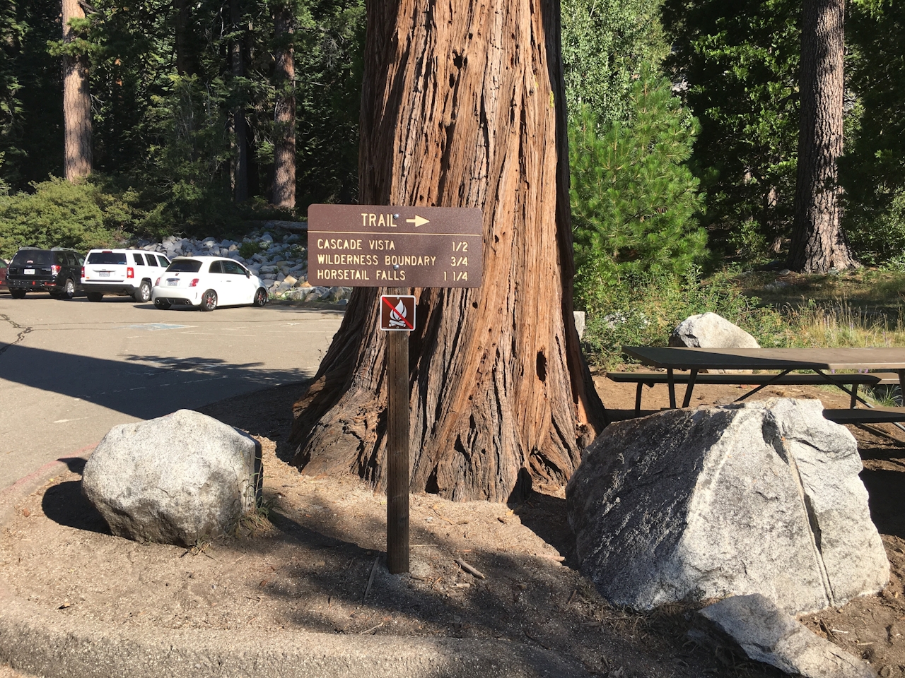
The trail continues through the forest before reaching another waterfall. As these initial cascades greet you en route, keep an eye out: you’ll see the powerful Horsetail Falls in the distance. From the second waterfall, the trail disappears as the forest turns into granite-scape. This is where the Pyramid Creek Loop Trail ends and turns into the (marked) Wilderness Boundary Trail. Follow the cairns for a short scramble until subalpine forest reappears.
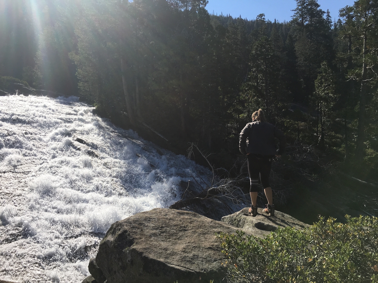
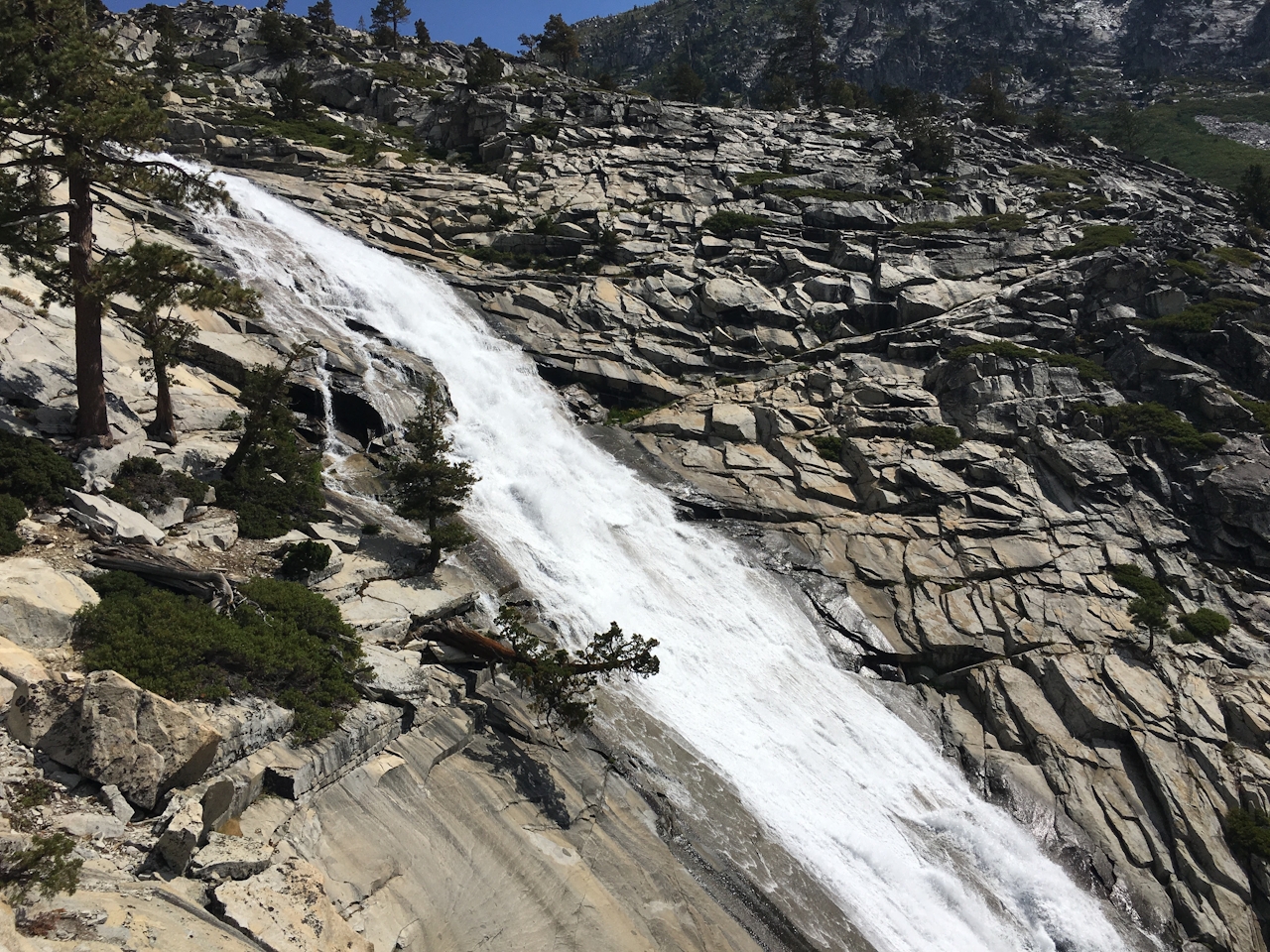
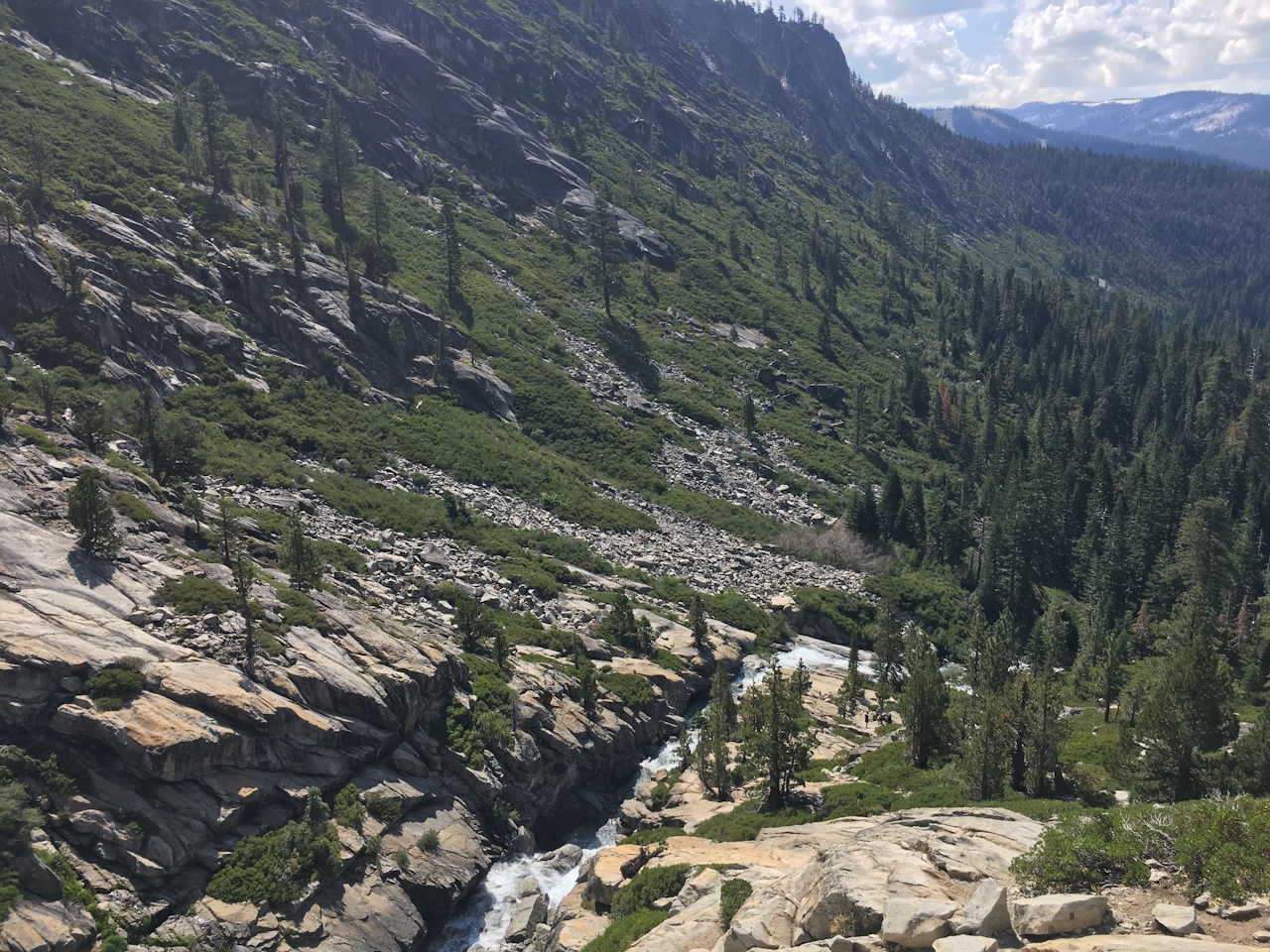
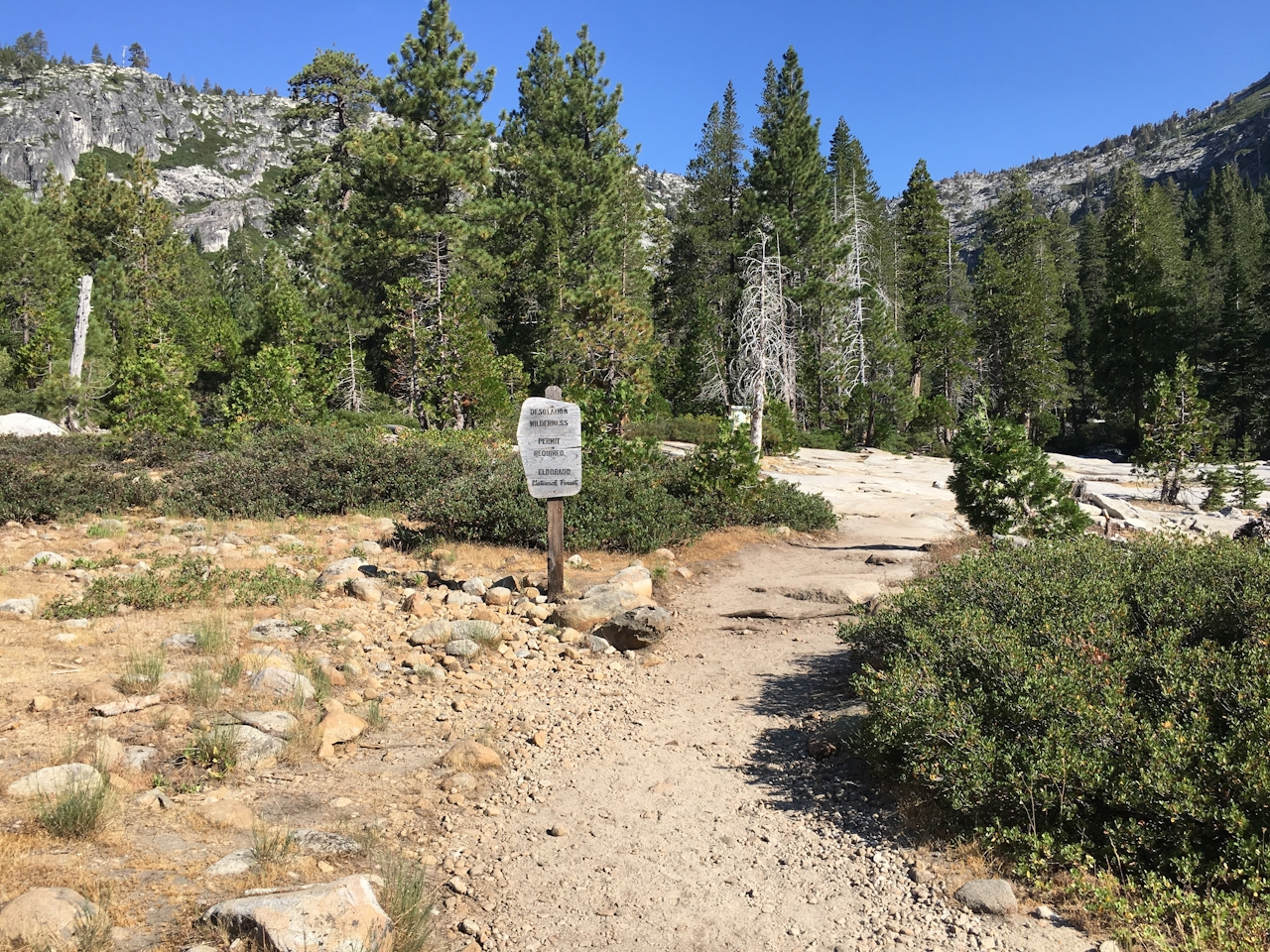
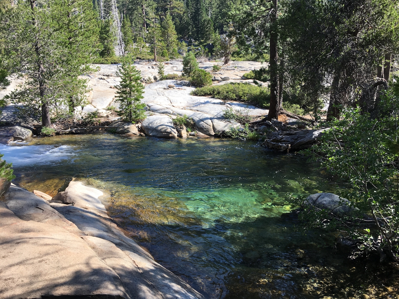
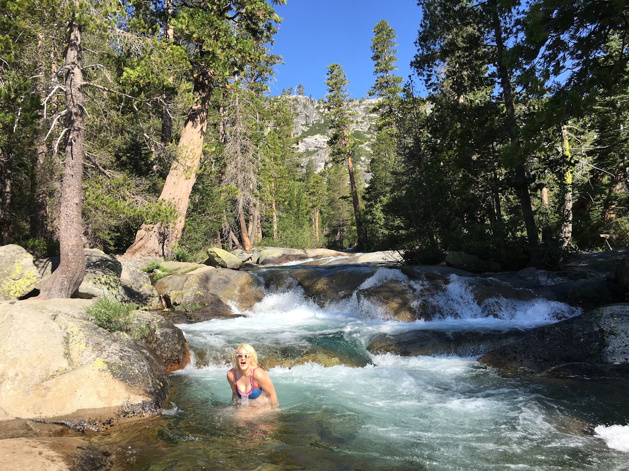
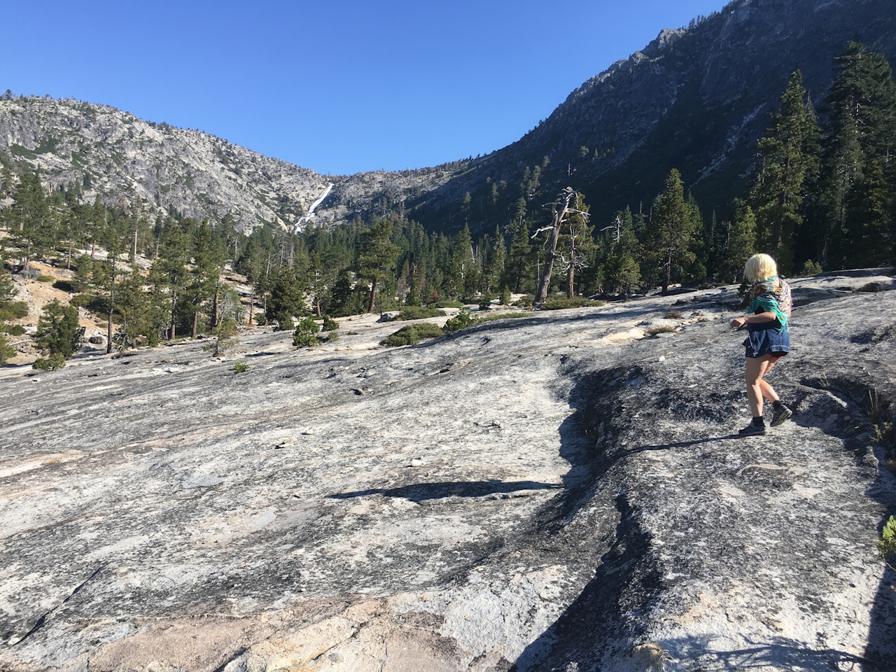
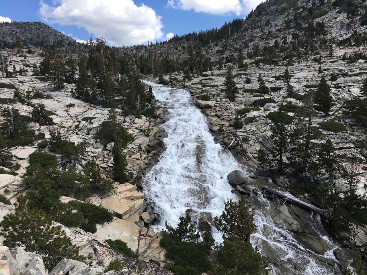
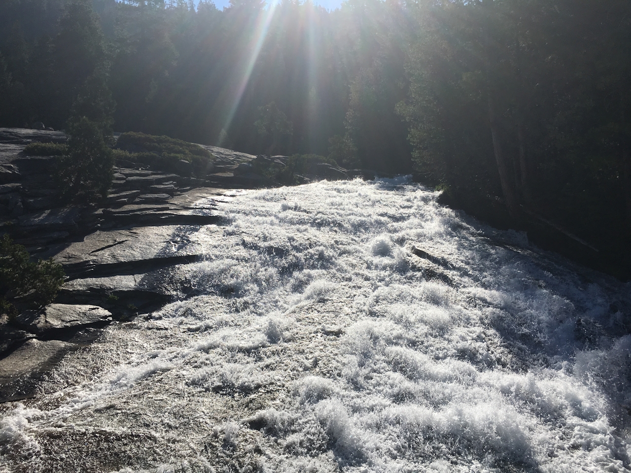
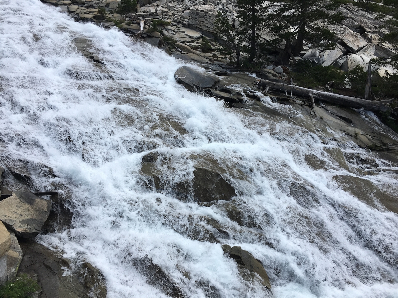
Trees nailed with clear trail markers let you know you’re on the right path. Along the way, the runoff from the falls pools into calm water. After another 0.5 mile, you’ll see a Desolation Wilderness post, where you can register for a day-use permit (free). From here, the trail splinters in multiple directions. Tip: Keep the creek to your right and an eye on the falls up ahead (in summer, this is a heavily trafficked trail, so it’s a good way to check in for assurances on direction). The trail ends at the bottom of the falls, where rushing water juts around the eroding rocks from all angles, creating the effect of a whipping horsetail. Horsetail Falls! You’ll have to crane your neck to see the top of this gushing beauty. Yep, tall drink of waterfall!
Park at the Pyramid Creek Trailhead just off Hwy. 50 at Twin Bridges. Parking permit is $5. Desolation Wilderness requires a day-use permit, which can be obtained at the trail (no charge). The trail splinters in several places put all the trails lead to Horsetail Falls. Keep your eyes open for trail markers and use Pyramid Creek as a guide. In summer, the trail is very popular, so stop and ask if in doubt. Note: Use common sense and safety before taking a dip in the waters around here.







