The Mission is Mission

Hike to Mission Peak in the East Bay
There are few Bay Area locations as instantly recognizable as the Mission Peak summit at Mission Peak Regional Preserve. Every year, thousands of hikers and bikers come to test their mettle against the mountain for a chance to stand on top and pose with the famous “Mission Peeker” summit pole.

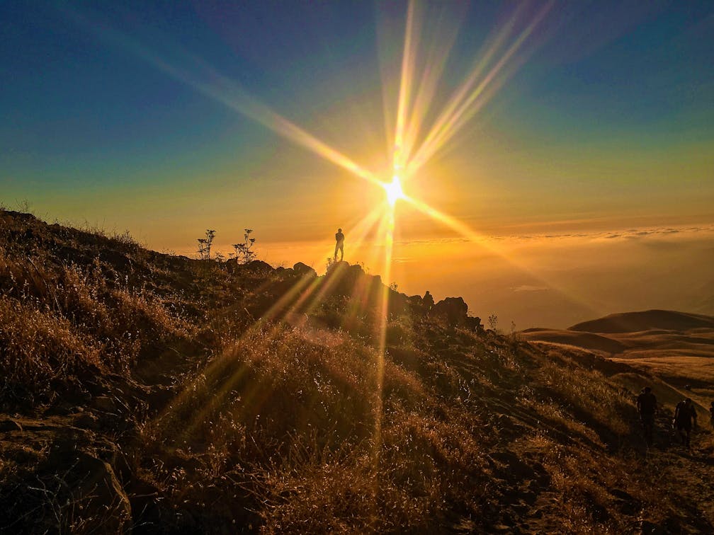
An added bonus: This 6-mile out-and-back route happens to be one of the best sunset hikes in the Bay Area. You just have to mind your time (and bring a headlamp or flashlight as a precaution).

Signage and a hiking trail with hikers heading toward the hills and Mission Peak in the East Bay

Sign for the peak of Mission Peak in the East Bay and a hiker on the trail

Start on the gravel Hidden Valley Trail and head up! Benches on the way let you take a break and soak in sublime views of the bay. At the intersection with Grove Trail, stay left, continuing to the Eagle Trail intersection.

Cyclists will have to park their bikes here and continue on foot to the summit. The last section—at just under a mile—is narrow and rocky as you follow signs for the peak and head up the back side of the mountain. The famous summit pole will start coming into view. At the peak, a far and wide view of the Santa Clara Valley awaits.

While posing with the summit pole, take a close look at the knobs protruding from the side.

Though many assume these are climbing rungs, they’re actually viewing tubes, pointing towards popular peaks around the valley: Mount Umunhum, El Sombroso, and Loma Prieta.

Person hiking on the trail leading up to Mission Peak in the East Bay

Hiker going up a trail towards Mission Peak at sunset

To reach the Stanford Ave. trailhead, take I-680 N to Mission Blvd. in Fremont. Exit and merge onto Mission Blvd., then turn right onto Stanford Ave. The trailhead parking lot is at the end of the street, and additional parking is available on Vineyard Ave. and Antelope Dr. Start the hike on Hidden Valley Trail. Be mindful of signs and stick to marked trails. Bring a headlamp or flashlight if you may be hiking late day. Bicycles are permitted up to the intersection with Eagle Trail. Dog-friendly.

Story and photos by Heather Werner, @heath.er.wer.ner

Trending Stories NorCal

View all Stories
  1. Afternoon on the Island

    What is it about tiny islands in the middle of lakes? There’s something that just draws you in. It’s even more fun when getting there is half the adventure because you have to reach it by canoe, kayak, paddleboat, or a ranger-guided boat tour!

    View
  2. Gentle Giants

    Some people visit national parks to marvel at the iconic sights, while others come seeking solitude in nature. With visitation on the rise, it can be hard to find both. But in Sequoia & Kings Canyon National Parks, this pair of trails offers both....

    View
  3. Rio Del Mar-velous

    Rio Del Mar State Beach in Aptos might be one of the best places for a treasure hunt. Its location between two other beaches makes for a good stroll featuring a spectacle of wildlife as you search the sand for sea glass and seashells.

    View
  4. Hiker taking a photo of sunset at Russian Ridge Open Space Preserve

    Sunshine and Skyline

    Head to Russian Ridge Open Space Preserve for a 4-mile out-and-back hike on the Bay Area Ridge Trail that offers a front-row seat to spectacular sunsets.

    View

Trending Stories SoCal

View all Stories
  1. Walking the Los Angeles River Trail Through Frogtown

    Frogtown Strutter’s Stroll

    Don’t go dismissing the Los Angeles River as merely a 51-mile concrete channel. It’s a genuine urban artery that links real neighborhoods, and its riverside bike/ped paths endear i

    View
  2. Sponsored

    Chase Fall Colors & Family Fun in Reno Tahoe

    Ready to Reno? We’re so with you! Reno Tahoe is the ultimate urban basecamp for gathering family and friends for all kinds of fall fun and festivities.

    View
  3. Griffith's Golden

    With over 4,200 acres and hundreds of trails, Griffith Park is the gold standard. Opt for the lesser-hiked northwestern end of the park and visit the 2.25-mile Skyline and Oak Canyon loop from Travel Town.

    View
  4. Ernie's Walk

    Stretching 51 miles from Canoga Park to Long Beach, the Los Angeles River has no shortage of walkways to enjoy. One segment that is particularly special is Ernie’s Walk in Sherman Oaks, a 0.3-mile stretch that is a delight to visit, and pay respect to its inspiration.

    View