Bag North Chalone Peak
Hike to North Chalone Peak in Pinnacles National Park


For the pinnacle view of Pinnacles National Park, you’ve got to hike to, well, the pinnacle! At 3,304 feet, North Chalone Peak (pronounced shuh-lown) is the tallest in the park, offering great scenery and a big added bonus: the possibility of seeing the coveted California condor. But you’re gonna need your hiking game-face for this trek.
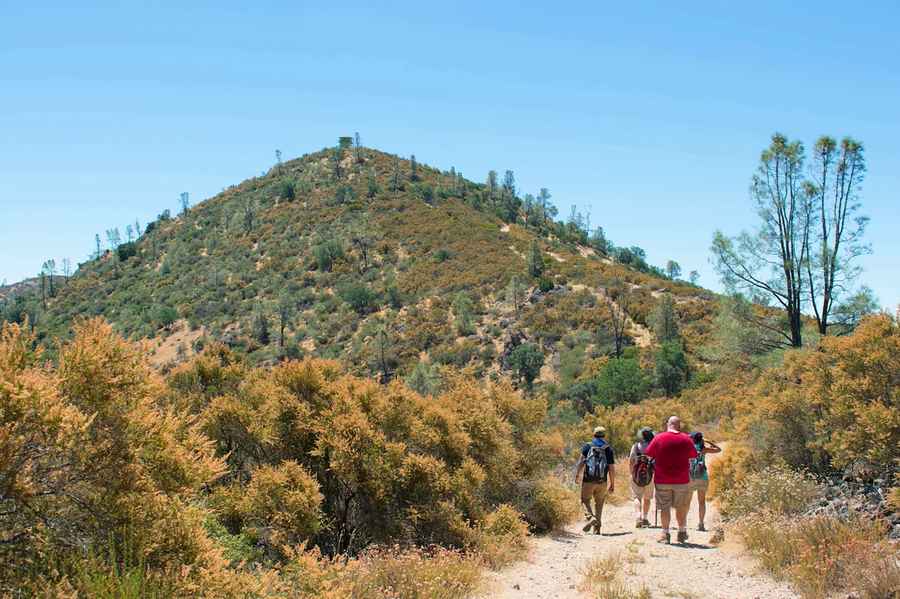
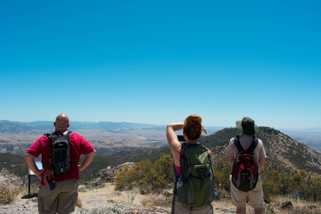
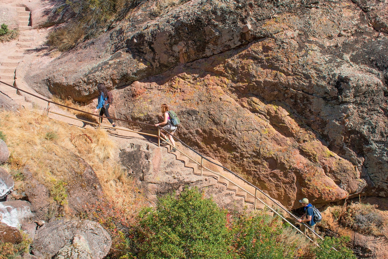
North Chalone Peak is reached via a strenuous 4.5-mile trail (9 miles out and back) with an elevation gain of 2,040 feet. From the Bear Gulch parking area follow the Bear Gulch Trail for a gentle incline with plentiful shade. Enjoy it while it lasts! The trail eventually splits into the Moses Springs Trail and the Bear Gulch Trail; it doesn’t matter which route you choose because they both end up in the same spot: the reservoir. The sparkling blue water is a welcome sight in this mostly dry park and makes a great spot to rest before the trail gets tougher.
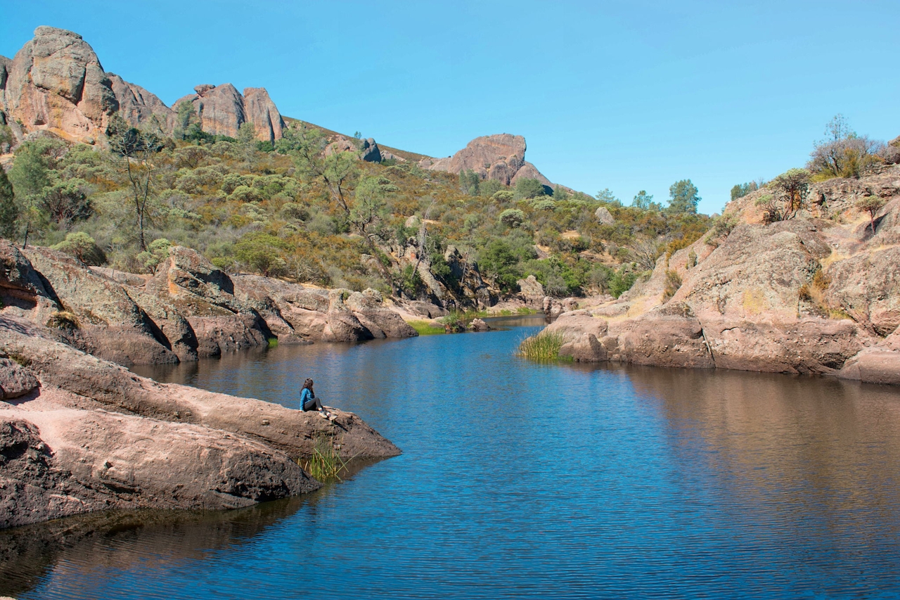
Next, head to the left side of the reservoir to find the trail to North Chalone Peak. From here it’s just 3.3 miles to the summit! But … all 3.3 of those miles are uphill and without shade, making this trail very daunting during the heat of day, so don’t be there on a hot afternoon. As soon as you leave the reservoir, the crowd immediately thins. Continue hiking up along the manzanita-lined trail dotted with some lingering wildflowers.
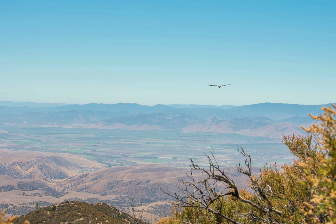
Vistas from the summit are well worth the effort, and there’s another bonus: The peak is also a popular hangout for the endangered California condor. Pinnacles is one of only three release sites for these impressive birds. Relax in the shade of the lookout tower and watch condors soar wind thermals high above the ground in search of food.
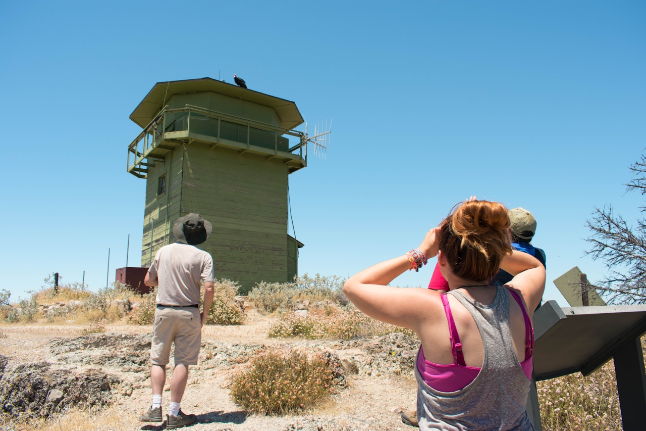
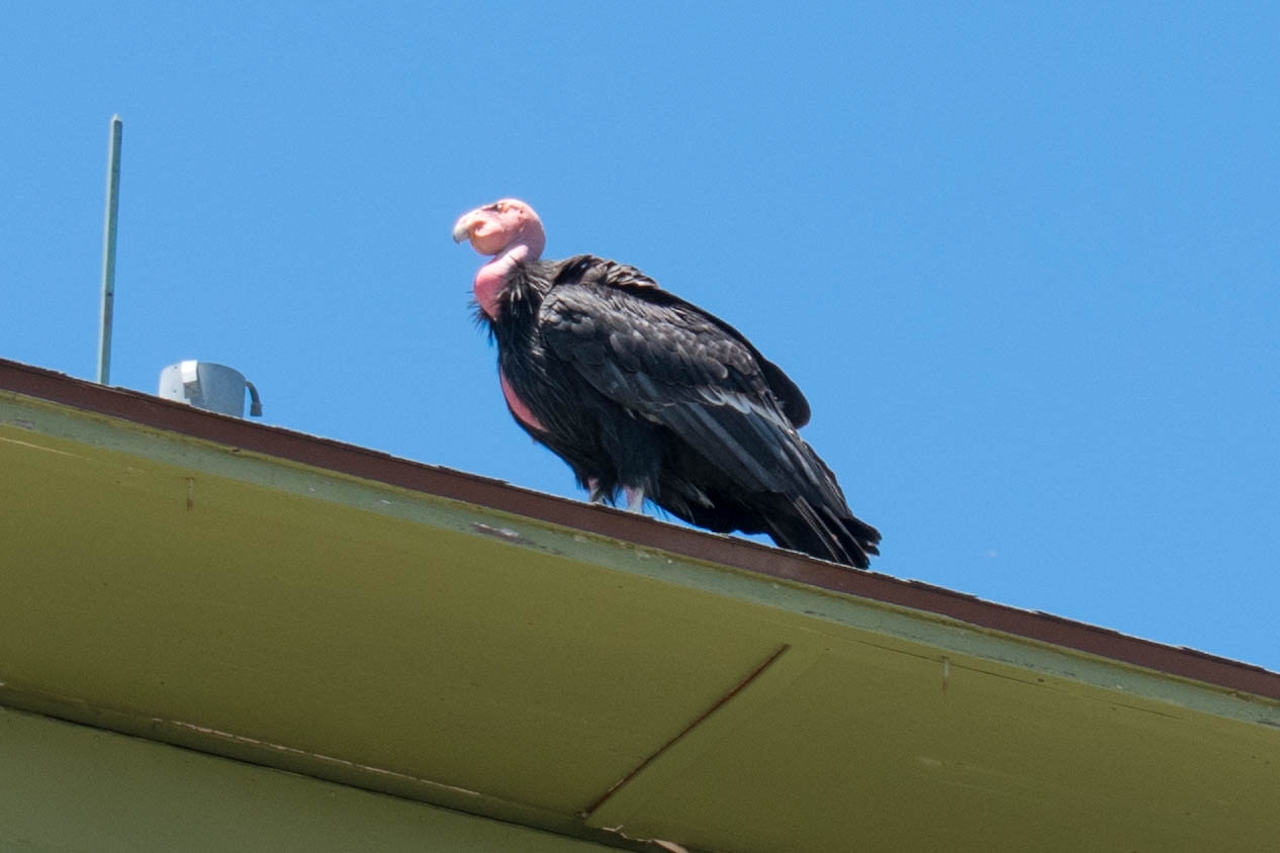
Though they may be the largest land birds in North America, with a wingspan of 9.5 feet, these scavengers can be difficult to tell apart from another park inhabitant: the turkey vulture. Things to look out for: Condors are considerably larger, with a white triangle on the underside of their wings.
Also, turkey vultures have v-shaped wings, whereas condors’ wings are more straight. With only 488 condors left in the world (as of 2018), spotting these guys in the wild is definitely worth every mile!
From the north, take CA-25 south of Gilroy. From the south, take CA-25 from CA-198 near San Lucas. After about 45 miles from either direction, head west on Pinnacles Hwy.A parking pass must be purchased in the visitor center, which is open from 9:30 a.m. to 5 p.m. Continue along Pinnacles Hwy. until you reach the Bear Gulch parking area. If the Bear Gulch parking area is full, a shuttle runs between the visitor center and Bear Gulch during the weekend from 10 a.m. to 4 p.m. The park is open 24 hours a day, 7 days a week. *Be sure to pack plenty of water and wear a hat! This hike is not recommended on super hot afternoons. The Pinnacles Visitor Center on the eastern side of the park is by the campground. There is also the Bear Gulch Nature Center closer to the trailhead. No dogs.







