Hey Stanley
Hike to Stanley Peak at Daley Ranch in Escondido


Escondido’s 3,200-acre Daley Ranch is home to one of the largest trail systems in San Diego County. Its prominent point is Stanley Peak, reached via a 6.3-mile lollipop loop that climbs just over 1,000 feet to the 1,975-foot apex of the park.
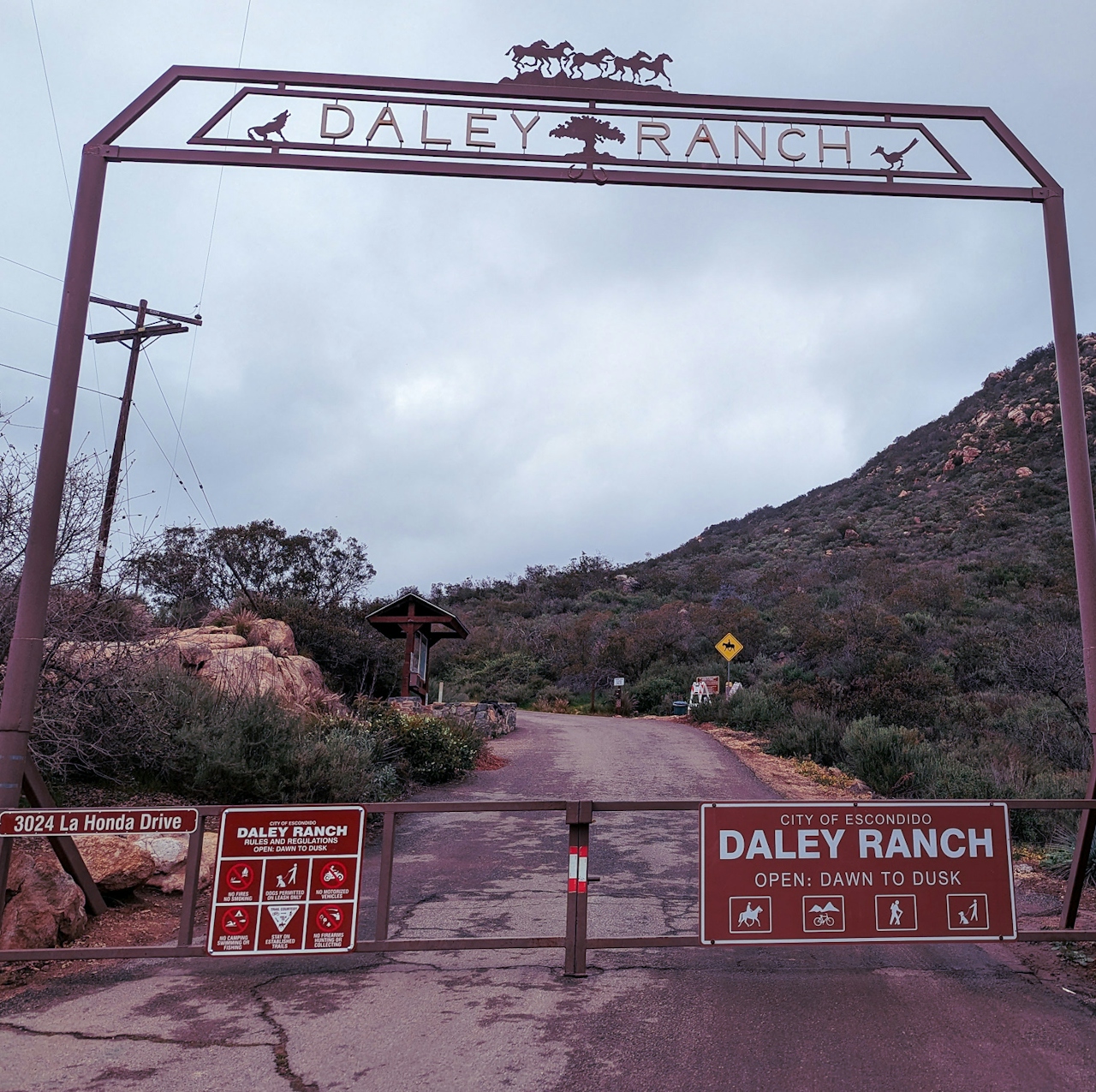
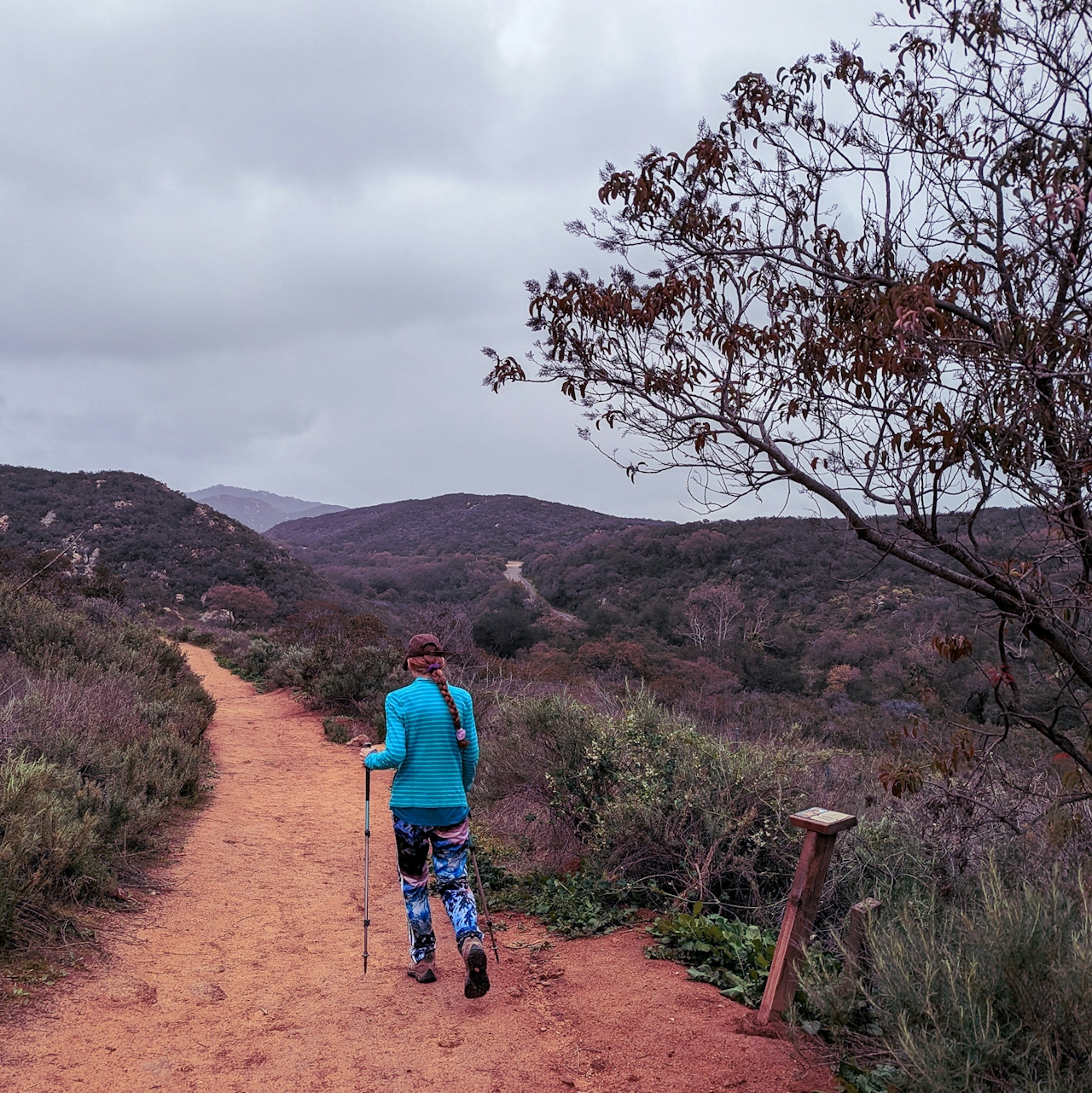
Start the hike at Daley’s southern hub via La Honda Drive. From the dirt parking lot, head through the gate and take the trail on your right (you can also grab a plant guide; $5 suggested donation). This is the Creek Crossing Trail, offering a gentle ascent past some interpretive signs for local flora, like white sage. There’s also good valley views. Just before the three-quarter-mile mark, take a right onto the East Ridge Trail, followed by a left onto the aptly named Sage Trail, which will serve as your primary loop on the journey (ignore any spur trails that head right).

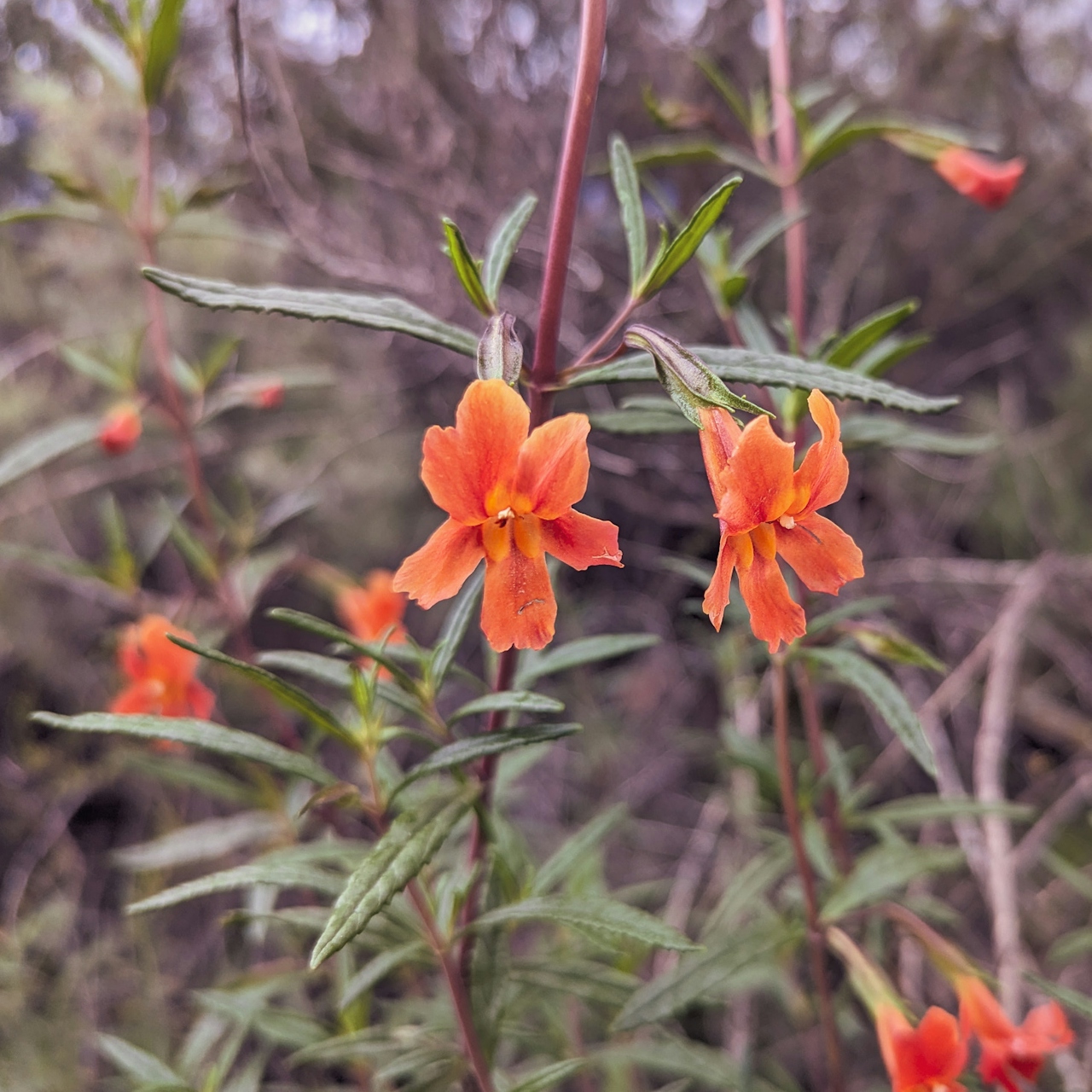
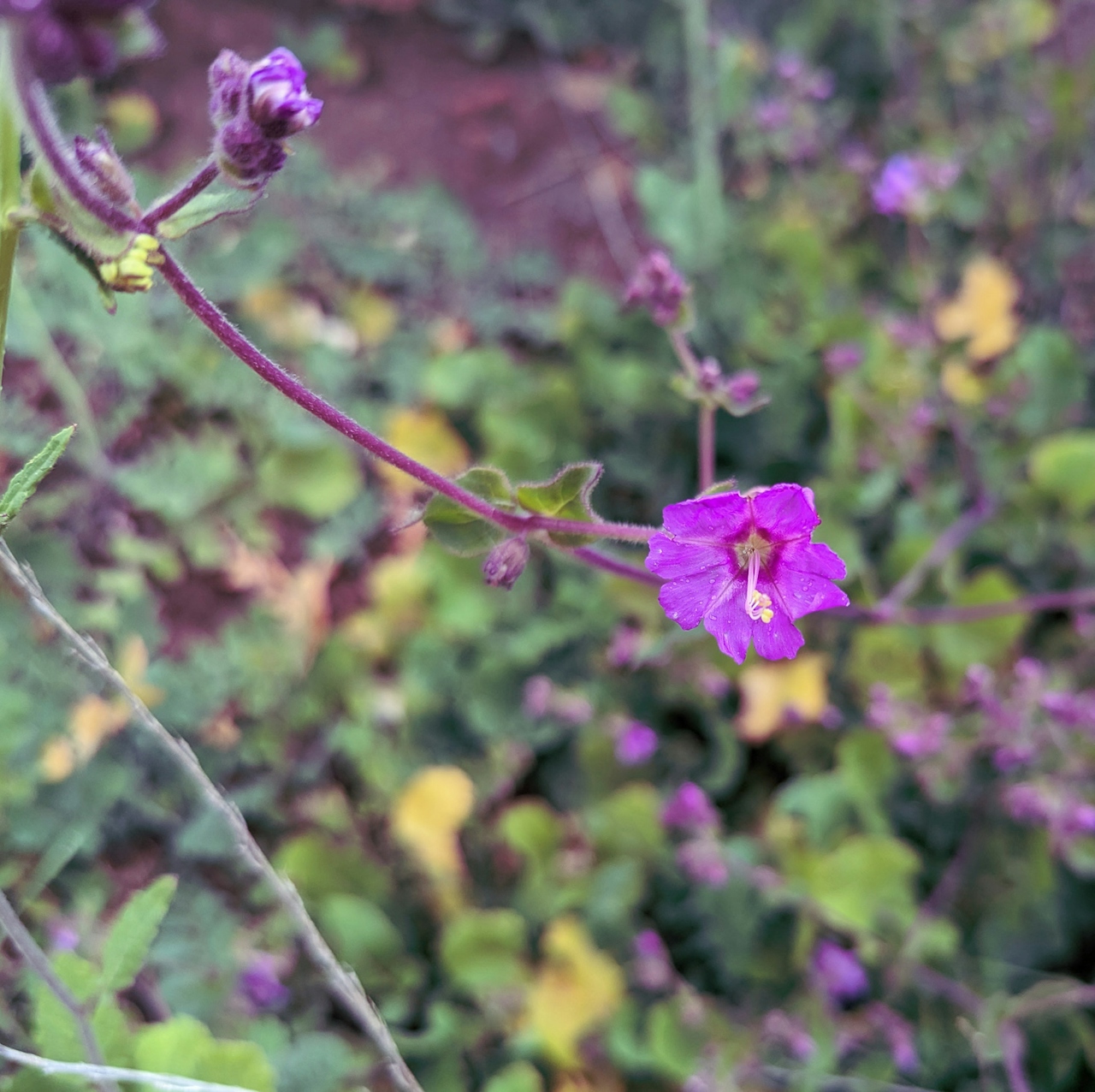
The rocky hillside is so green this time of year, and you may even spot wildflowers like Indian paintbrush and monkey flower. With recent rains, you’ll also have a small creek crossing before starting your gradual ascent. After passing a quaint pond, at the 2-mile mark you pass the Coyote Run Trail on your left (which can shorten the trek if you’re not up for the peak); otherwise continue on for expanding views of the massive green space and the distant urban landscape of Escondido.
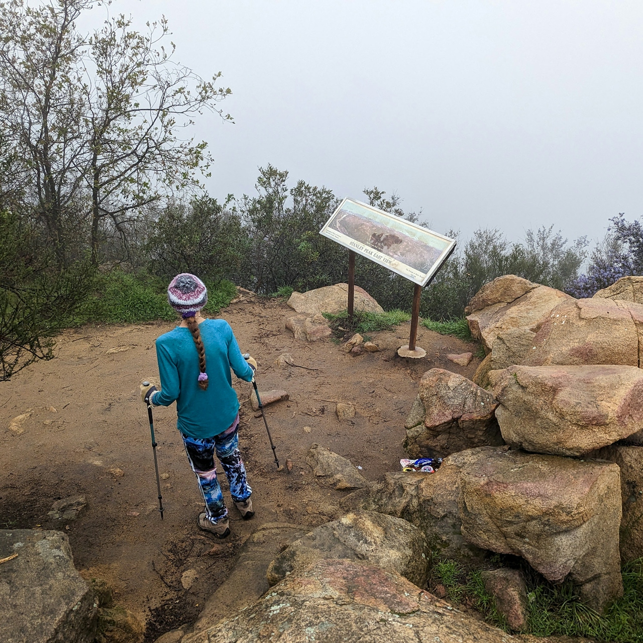
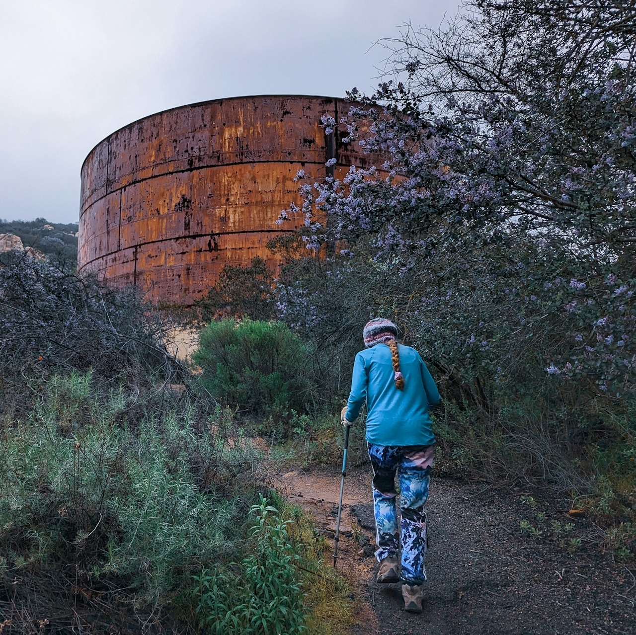
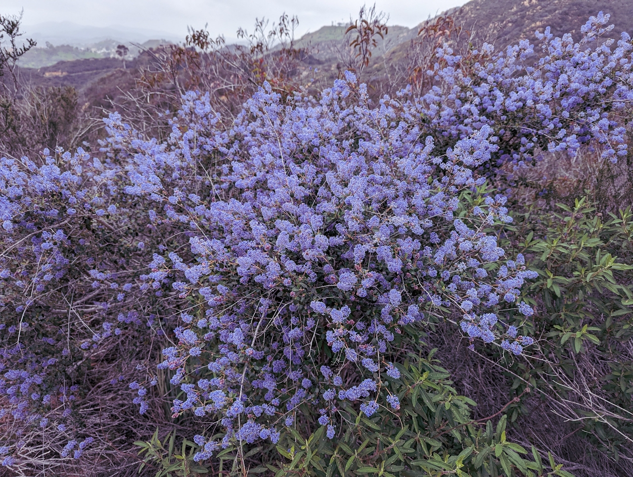
At about the 2.5-mile mark, you’ll reach the tank trail where you’ll head right, pass a water tank and continue your ascent. Stay right at the next two junctions to keep on the Stanley Peak Trail, all the way to the rocky peak. A handful of boulders are perfect for a picnic. Sign the logbook and enjoy the panorama, stretching from the Palomar Mountains in the northeast to prominent Mount Woodson in the south.
On your return trip, stay right on Stanley Peak Trail, which eventually wraps around and connects back with the Sage Trail loop. After the first pond on your left, you’ll want to make a left on the Diamondback Trail to take you back to the entrance. You’ll reconnect with Coyote Run Trail and Creek Crossing Trail before arriving back at the lot.
To get to the Daley Ranch southern entrance, take the I-15 to the El Norte Pkwy. exit and head east. After 3.3 miles, turn left onto La Honda Dr. (you’ll see a sign for Daley Ranch and Dixon Lake). After 1.3 miles, find the dirt lot on your left and the park entrance directly in front of you. Dog-friendly!
Story and photos by Matt Pawlik, @mattitudehikes







