A View Comes into Re-focus

Hike to Sweeney Ridge Between Pacifica and San Bruno on Sneath Lane

Hike Sweeney Ridge Trail Sneath Lane Discovery Site

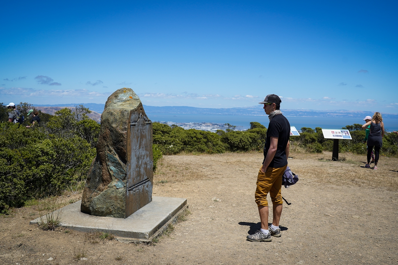
Situated at 1,200 feet on a ridgeline between Pacifica and San Bruno, the scenery from Sweeney Ridge and the San Francisco Bay "Discovery Site" is quite grand. Combine views and some history on this outing.
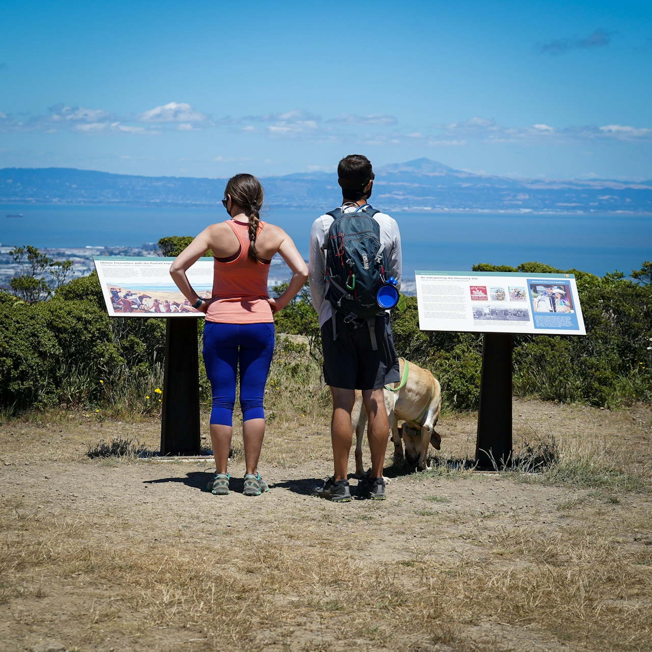
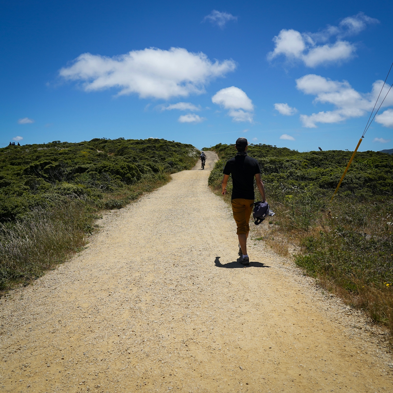
On clear days you can see out to the rolling waves of the Pacific in one direction, and the tranquil bay waters and pyramid-shaped Mount Diablo in the other. You can get to Sweeney Ridge a few different ways. We recommend starting from the end of Sneath Lane in Pacifica. It’s a simple paved, winding trail uphill for 2 miles (one-way).
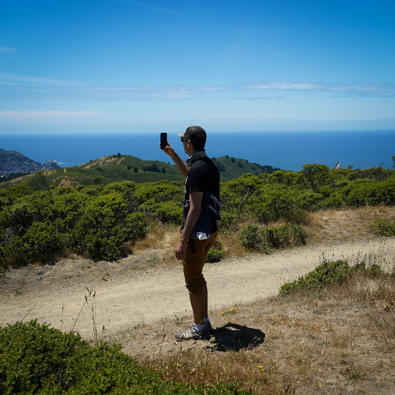
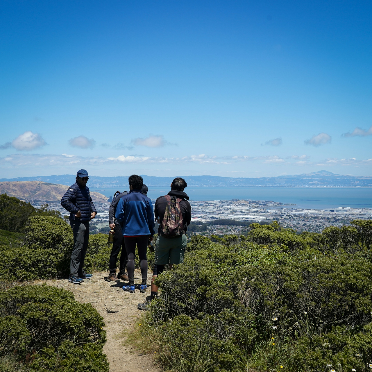
Way back in November 1769, Spain sent Captain Juan Gaspar de Portolá on an expedition to this part of California. Along the journey they came across several friendly Native American tribes, including the Ohlone peoples, who lived on the San Francisco Peninsula. A few years later Spanish missionaries and the military showed up, along with the start of colonization and the eradication of the people that called this their home for millennia. The information boards at the Discovery Site give a description of this time.

TIP: This place gets foggy and windy. Check the weather beforehand to visit on a clear day, preferably in the morning before the wind picks up.

Parking is limited at the Sneath Lane trailhead (map). The hike is dog-friendly.

Trending Stories NorCal

View all Stories
  1. Woman with her arms outstretched to the rolling hills scenery while on a rock outcrop at Barnabe Peak in Samuel P Taylor Sate Park in Marin

    Barnabe Bonanza

    Sure, there are higher mountains in Marin (Mount Tam) and easier ascents (Mount Burdell), but is there a more expansive North Bay view? Barnabe Peak in Samuel P. Taylor State Park offers a glorious panorama including Mount Tam, Mount Diablo, and Mount St. Helena.

    View
  2. Tamtastic Sunset

    Sure, the East Peak of Mount Tam is absolutely spectacular at sunset, but some magic-hour enthusiasts head to a nearby spot, Trojan Point, for a little more personal space in their panoramic viewings.

    View
  3. Hiker on the SCA trail in Marin Headlands with view of the Golden Gate Bridge

    Headlands Over Heels

    People come from all over the world to get a glimpse of the Golden Gate Bridge. Get a dramatic and novel view of the bridge without all the people on this moderate 6-mile hike in the Marin Headlands.

    View

Trending Stories SoCal

View all Stories
  1. Woman hiking the San Onofre Bluffs Loop Trail to San Onofre State Beach in San Diego County

    Bluffing Good!

    Lovely coastline, beautiful beaches, unique geological history, and picturesque sandstone cliffs with limited foot traffic in San Diego County? Head to San Onofre State Beach and the 5-mile San Onofre Bluffs Loop Trail.

    View
  2. Can We Get a Whoop Whoop!

    City, mountain, and ocean views all in one hike? Whoop whoop! It’s no surprise the the Kenter Fire Road and Whoop-de-Doos Trail (a combo of fire road and singletrack) is a favorite among local mountain bikers and hikers alike.

    View
  3. The Big Chill

    In LA, finding a place to chill can be the ultimate flex. So flex, in Franklin Canyon! This unexpected oasis has plenty of shade, cool lake breezes, and ample picnicking spots. Enjoy it on an easy-going 1-mile stroll along its reservoir and duck pond.

    View