Rock Star Hike

Hike Vasquez Rocks in Los Angeles County

Hike Vasquez Rocks Natural Park Area

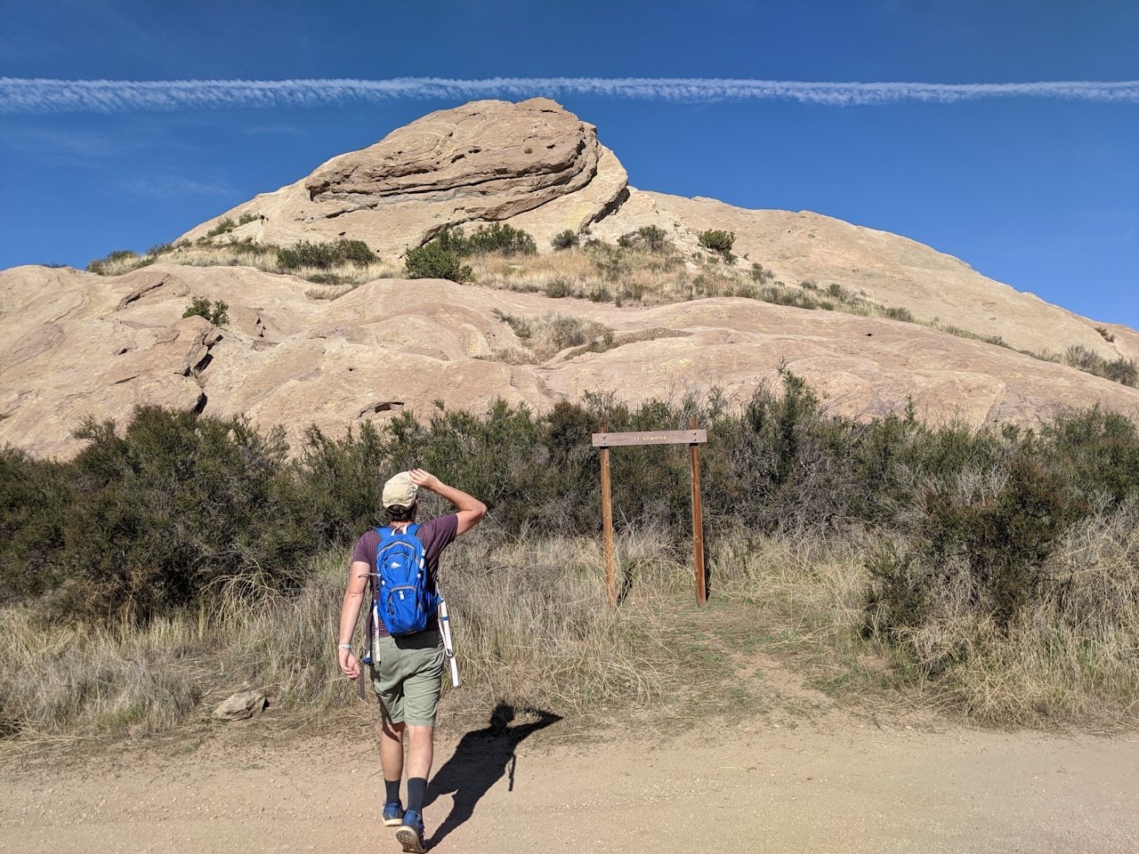
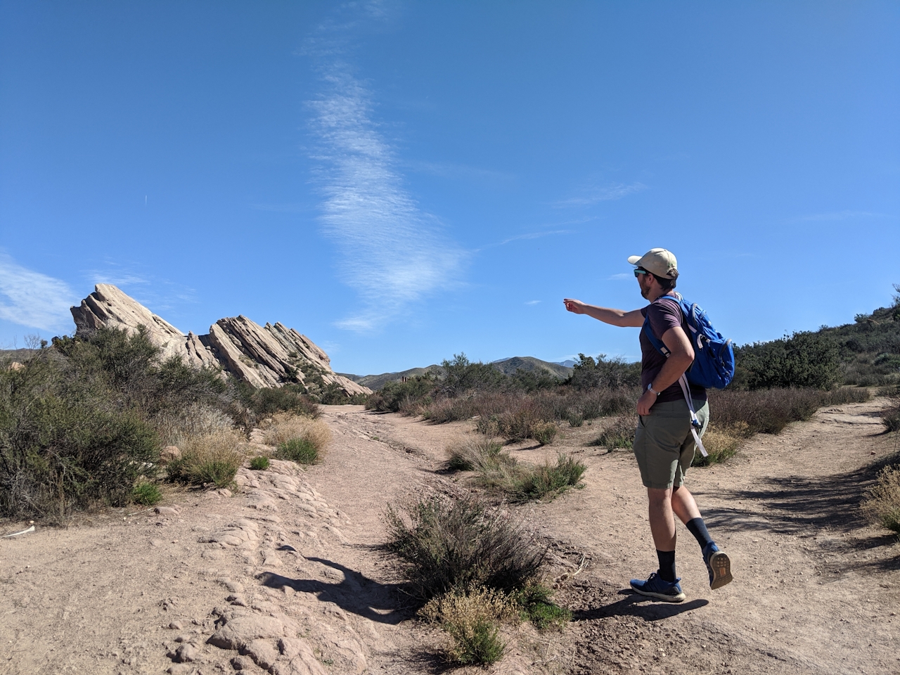
There’s a reason some geological formations become a hotspot for filmmakers, history buffs, and adventure seekers alike: They’re just so cool. And the sandstone giants of Vasquez Rocks might be the coolest damn formations in Southern California. Explore the craggy slabs on a 2.5-mile (round-trip) hike that also connects to a segment of the Pacific Crest Trail. Park at the Vasquez Rocks Natural Area Park Interpretive Center and grab a map.
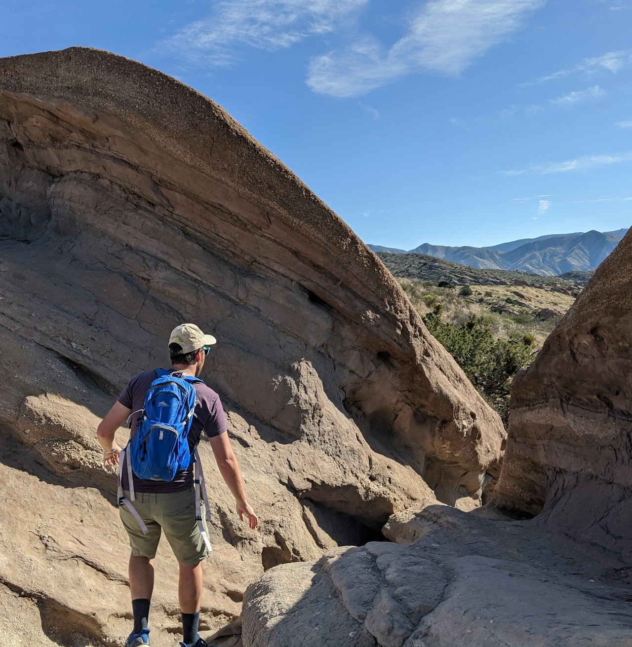
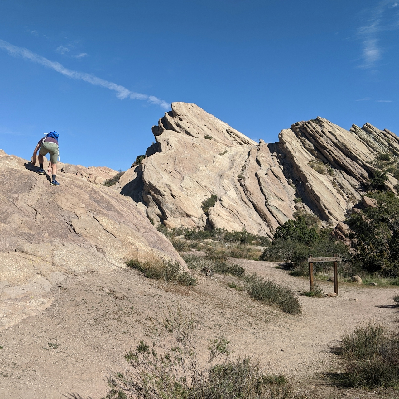
Then follow signs for the Nature Heritage Trail. As you continue south, passing a campground, interpretive signs tell of local flora, such as a glorious California juniper, sagebrush, and yucca, as well as a Tataviam dwelling, grinding bowl and pictograph. Keep straight at the next junction (with Horse Trail), but be sure to climb the hill to your right for some great first views of the massive rocks, named after the notorious bandit Turbicio Vasquez, who hid from the law here. You can climb the 45-degree-angle behemoths that have been featured as alien terrain (Star Trek) and western backdrops (Blazing Saddles, Westworld).
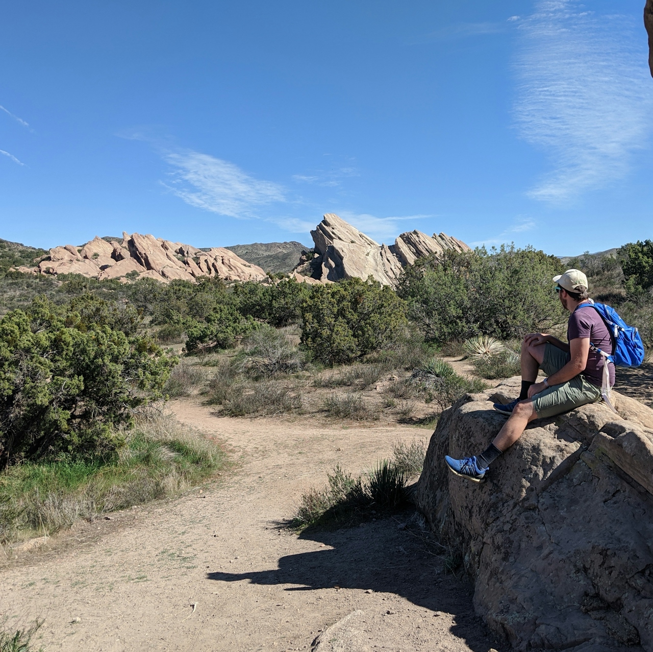
These rocks were formed through roughly 25 million years of erosion. Keep heading southeast and follow signs to hike a section of the PCT, where you’ll stay left to keep the rock formation views going. This trail soon becomes the Geology Trail, passing through more boulders and depositing you at a dirt road leading back to the start. Rock on.
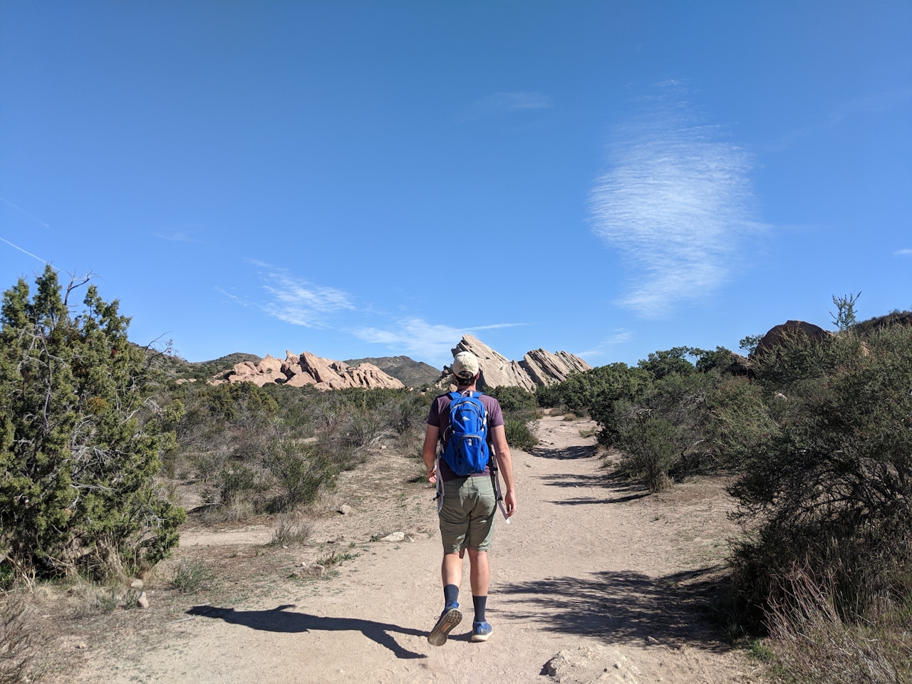
To get to the Vasquez Rocks Natural Area Park Interpretive Center and parking lot, take the I-5 to the CA-14 for 14 miles, exiting Agua Dulce Canyon Rd. and turning left. Stay on Agua Dulce Canyon Rd. for 2 miles, which becomes Escondido Canyon Rd. After another 0.5 mile, the entrance will be on your right. Dog-friendly!

Story and photos by Matt Pawlik

Trending Stories NorCal

View all Stories
  1. Barbary Coast Trail medallion hike in San Francisco

    Medallion Walk SF

    The Barbary Coast Trail is a 3.8-mile historical walk and treasure hunt through San Francisco. Be on the lookout for hubcap-sized bronze medallions placed on the city sidewalks with arrows pointing you in the right direction.

    View
  2. Greater by the Dozen

    This hike is anything but a dime a dozen. The all-new "Golden Gate Dozen Trail" links 12 National Park sites on a spectacular 13-mile journey across San Francisco's coastline.

    View
  3. Inn-spiration Point!

    For more than a century, people have been hiking or mountain biking to West Point Inn for good reason. Perched at 1,785 feet on the southern slope of Mount Tamalpais, the historic inn has sweeping views from the Marin Headlands to the San Francisco skyline.

    View
  4. A Thousand Steps to Paradise

    A picture is worth a thousand words, but is a gorgeous beach in Laguna worth a thousand steps? The answer is yes, though the question is moot, because it’s only 223 steep steps down to the 400-yard stretch of sand known as 1000 Steps Beach.

    View

Trending Stories SoCal

View all Stories
  1. Roaring Redwoods

    Tucked next to brilliant Henry Cowell Redwoods State Park in Santa Cruz, the folks at Roaring Camp Railroads had a bright idea: When the sun goes down, the rainbow lights come up. Sequoias at Night brings big magic to some of the tallest trees in the world.

    View
  2. There's Always To Moro!

    Looking for a rock-solid itinerary in Sequoia National Park? Pair the park's most famous viewpoint with one that's often overlooked.

    View
  3. Rancho Style

    Vicente Bluffs Reserve dazzles anytime, but during the golden hour it’s an absolute knockout. Majestic rocky bluffs, dreamy ocean views, and a picturesque lighthouse are just a few of the reasons.

    View
  4. Sponsored

    Take the Exit to the Best of the San Francisco Peninsula

    The San Francisco Peninsula is proof that some of Northern California’s greatest surprises are hiding just off Highway 101. All you have to do is take the exit.

    View