Sunol Salutations

Hiking a less-traveled trail in Sunol Regional Park

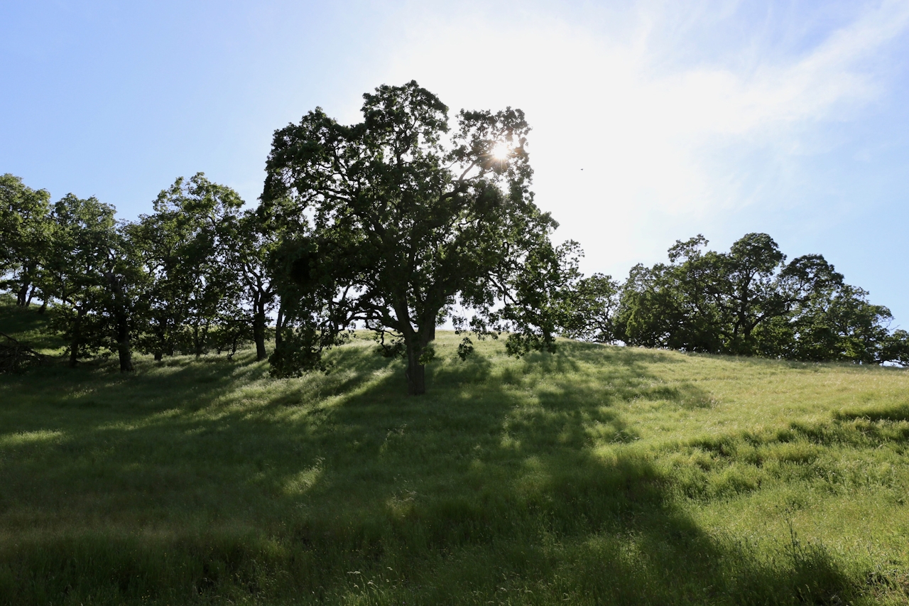
Ahh … Sunol in the spring could make John Steinbeck wax poetic about the land of milk and honey. This East Bay Regional Park is a rolling green open space of giant oak trees, wildflowers, hidden canyons, seasonal streams, and winding hiking trails. While most visitors head to Little Yosemite, a more secluded and equally beautiful excursion goes to the north.

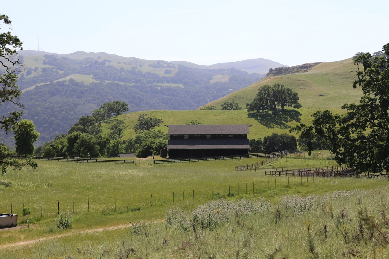
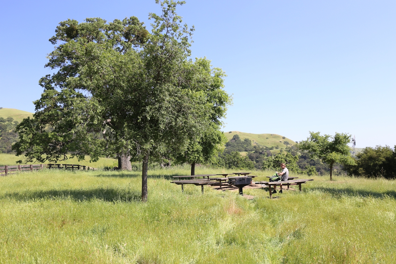
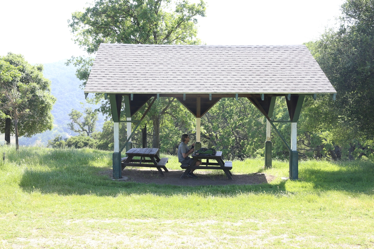
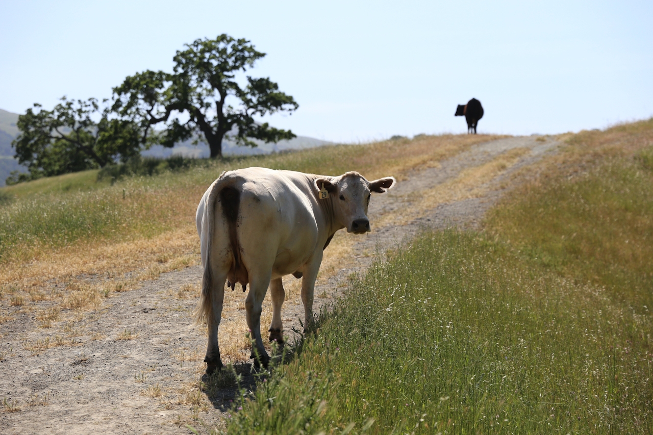
The 5-mile (round-trip) hike starts on the popular Indian Joe Nature Trail. But within a few minutes, you’ll ditch most of the people when you turn north onto the Indian Joe Creek Trail. You’re immediately transported into a shady canyon alongside a babbling brook with chirping birds … it really seems like a bluebird might land on your shoulder. A solid elevation gain takes you up to High Valley Camp, the hike’s halfway point, where you’re greeted by a secluded old barn with picnic tables under a giant oak tree. Chances are good you’ll see more cows than people on your hike up here.
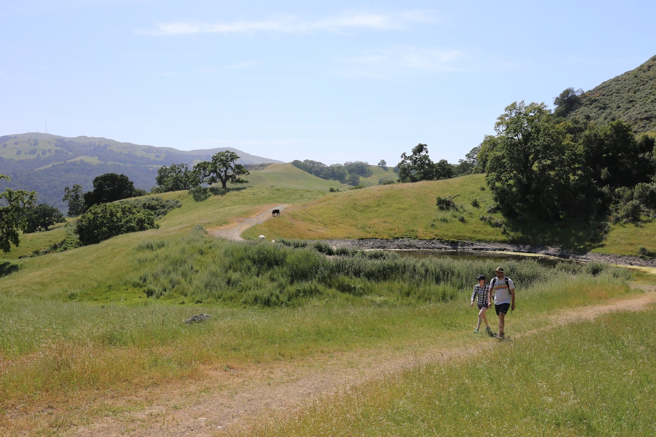
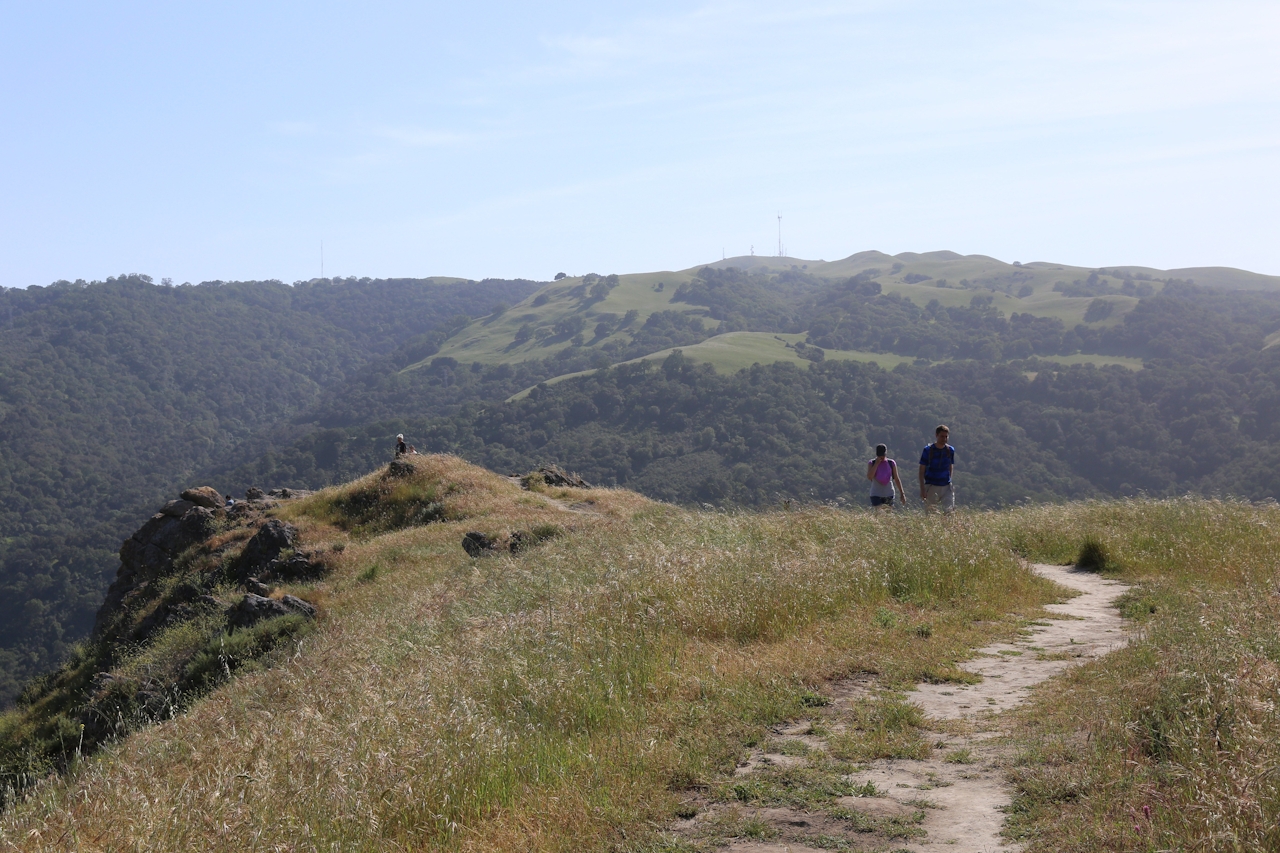
Break out your snacks and take in the wilderness. Post picnic, the best view is yet to come! A little over a mile more of hiking takes you up to Flag Hill, where you’ll look out to nearby Maguire Peaks and further out to San Antonio Reservoir. Descend back to the start on the Flag Hill Trail. Oh Sunol good!

There’s a $5 parking fee. Starting from the Sunol Regional Wilderness visitor center, cross the bridge over Alameda Creek, turn right and continue on the Indian Joe Nature Trail. After about 0.25 mile of hiking you’ll see that Indian Joe Creek Trail turns left and Canyon View Trail continues straight. Turn left on Indian Joe Creek Trail. Take this all the way to Cave Rocks Rd. and turn left. This takes you to High Valley Camp, where you can continue on the Flag Hill Trail up to Flag Hill and back down to the visitor center. Dog-friendly!

Trending Stories NorCal

View all Stories
  1. Woman with her arms outstretched to the rolling hills scenery while on a rock outcrop at Barnabe Peak in Samuel P Taylor Sate Park in Marin

    Barnabe Bonanza

    Sure, there are higher mountains in Marin (Mount Tam) and easier ascents (Mount Burdell), but is there a more expansive North Bay view? Barnabe Peak in Samuel P. Taylor State Park offers a glorious panorama including Mount Tam, Mount Diablo, and Mount St. Helena.

    View
  2. Tamtastic Sunset

    Sure, the East Peak of Mount Tam is absolutely spectacular at sunset, but some magic-hour enthusiasts head to a nearby spot, Trojan Point, for a little more personal space in their panoramic viewings.

    View
  3. Hiker on the SCA trail in Marin Headlands with view of the Golden Gate Bridge

    Headlands Over Heels

    People come from all over the world to get a glimpse of the Golden Gate Bridge. Get a dramatic and novel view of the bridge without all the people on this moderate 6-mile hike in the Marin Headlands.

    View

Trending Stories SoCal

View all Stories
  1. Woman hiking the San Onofre Bluffs Loop Trail to San Onofre State Beach in San Diego County

    Bluffing Good!

    Lovely coastline, beautiful beaches, unique geological history, and picturesque sandstone cliffs with limited foot traffic in San Diego County? Head to San Onofre State Beach and the 5-mile San Onofre Bluffs Loop Trail.

    View
  2. Can We Get a Whoop Whoop!

    City, mountain, and ocean views all in one hike? Whoop whoop! It’s no surprise the the Kenter Fire Road and Whoop-de-Doos Trail (a combo of fire road and singletrack) is a favorite among local mountain bikers and hikers alike.

    View
  3. The Big Chill

    In LA, finding a place to chill can be the ultimate flex. So flex, in Franklin Canyon! This unexpected oasis has plenty of shade, cool lake breezes, and ample picnicking spots. Enjoy it on an easy-going 1-mile stroll along its reservoir and duck pond.

    View