Formation Nation
Hiking Caruthers Canyon in Mojave National Preserve


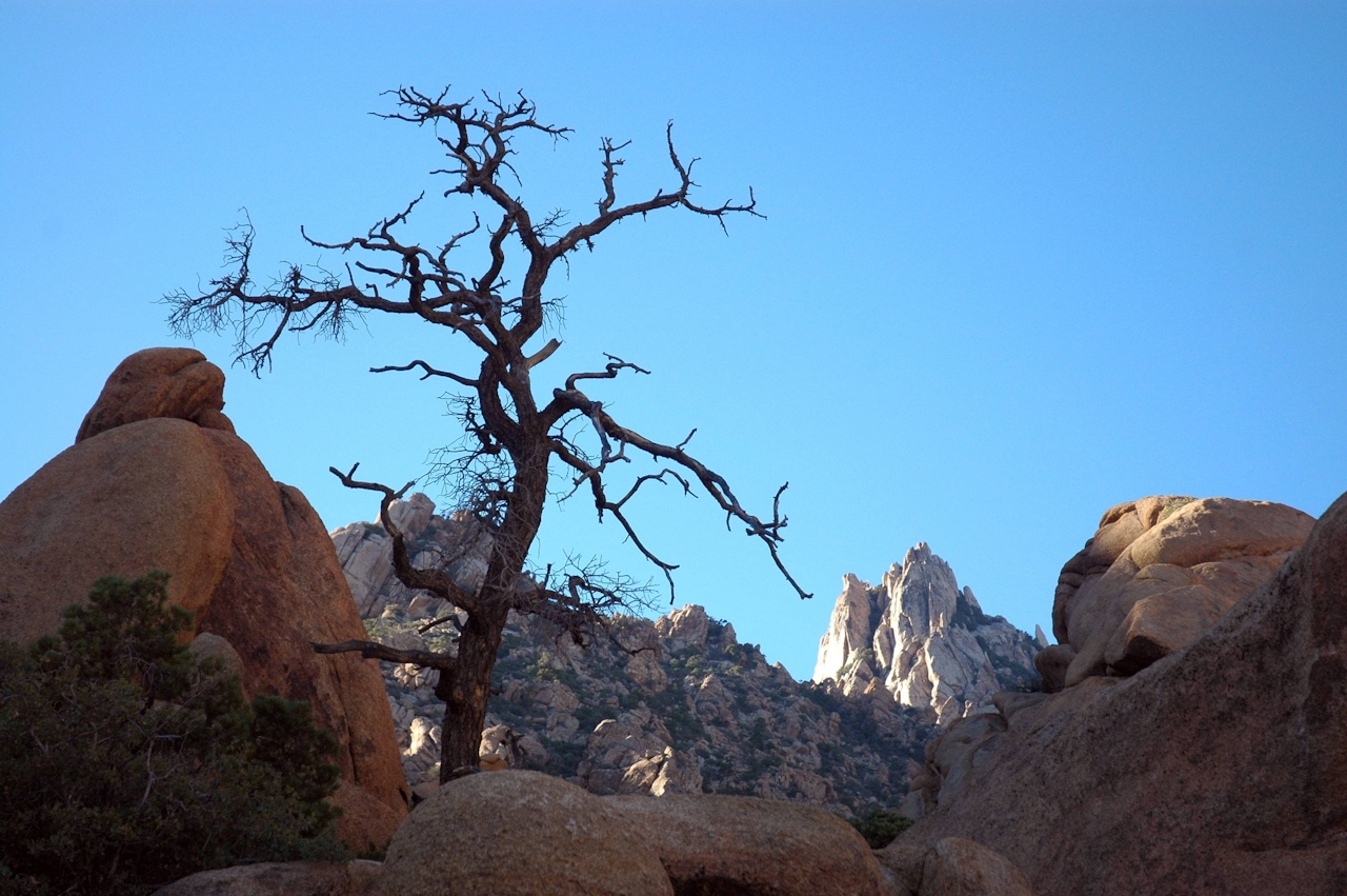
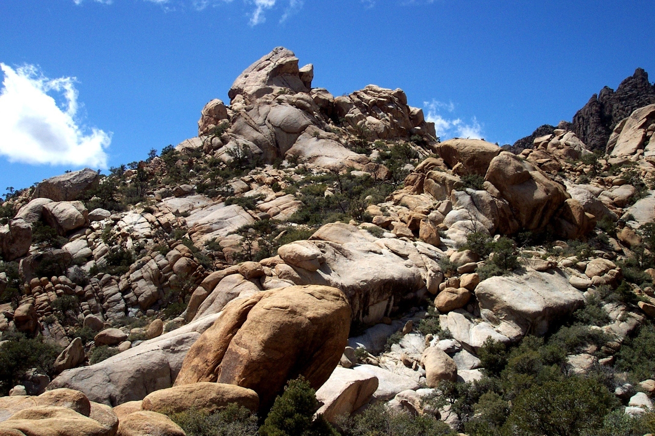
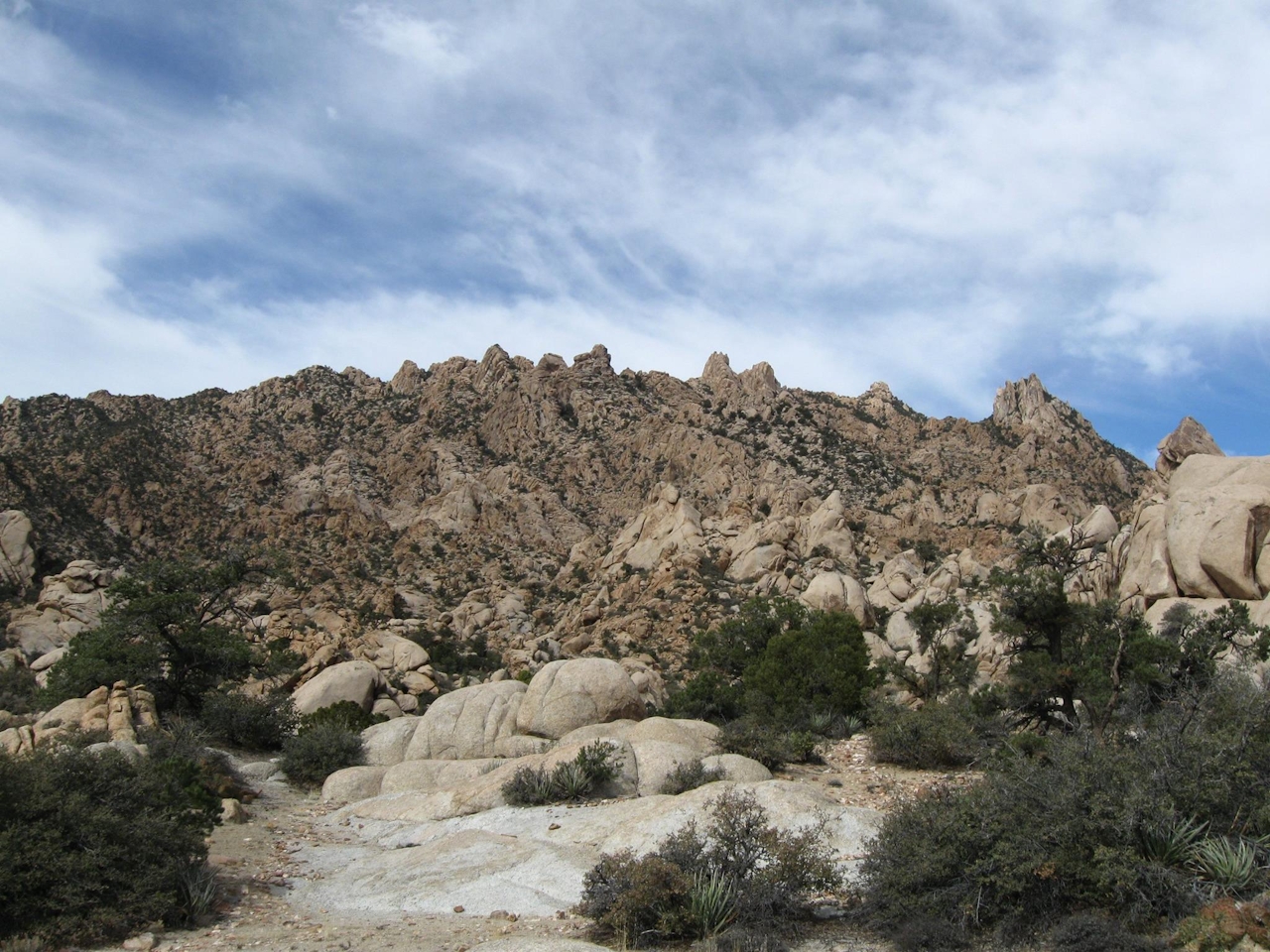
You don't have to head to a museum to see some of the world's greatest sculpted formations. Take a hike along Caruthers Canyon Trail in Mojave National Preserve’s New York Mountains, where eons of volcanic activity have left behind a dazzling landscape of fantastic rock formations. Even the vegetation here is fascinating—not at all what you’d expect at 6,000 feet in a high-desert range.
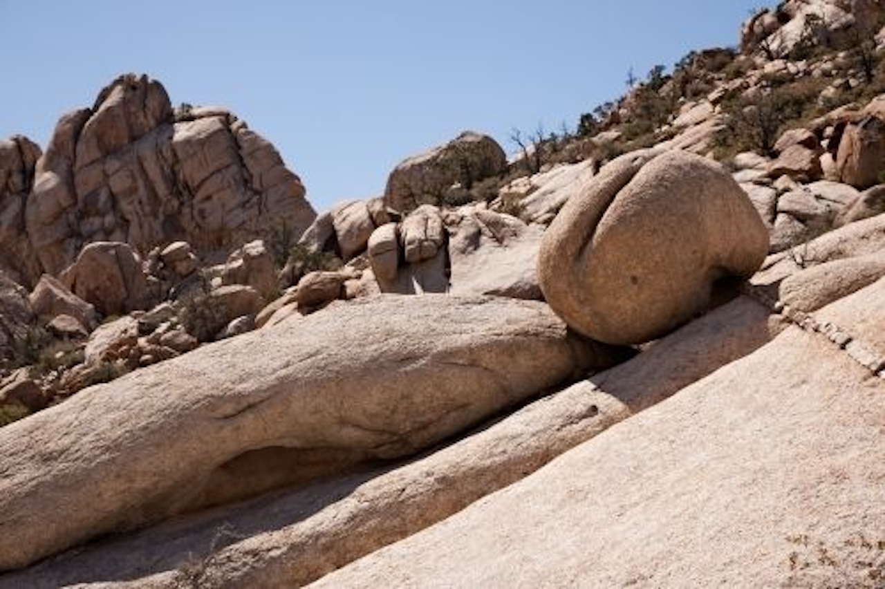
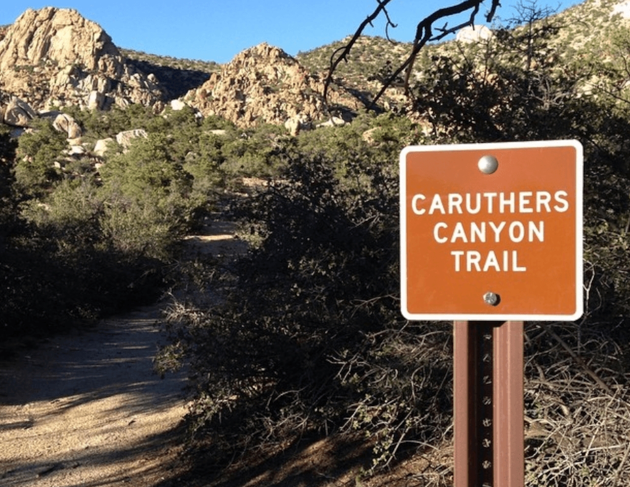
The 6-mile (round-trip) out-and-back hike begins at a primitive campsite known as Stone Table, where you can leave your car in the shade. From there, begin your trek along an easily followed old mining road. Look for some of the named formations—Balancing Rock on Spire, Elf’s Cap, Giant’s Foot—and feel free to name some of your own. You’ll also catch a stunning view to the northwest of 7,533-foot peak that crowns the New York Mountains.
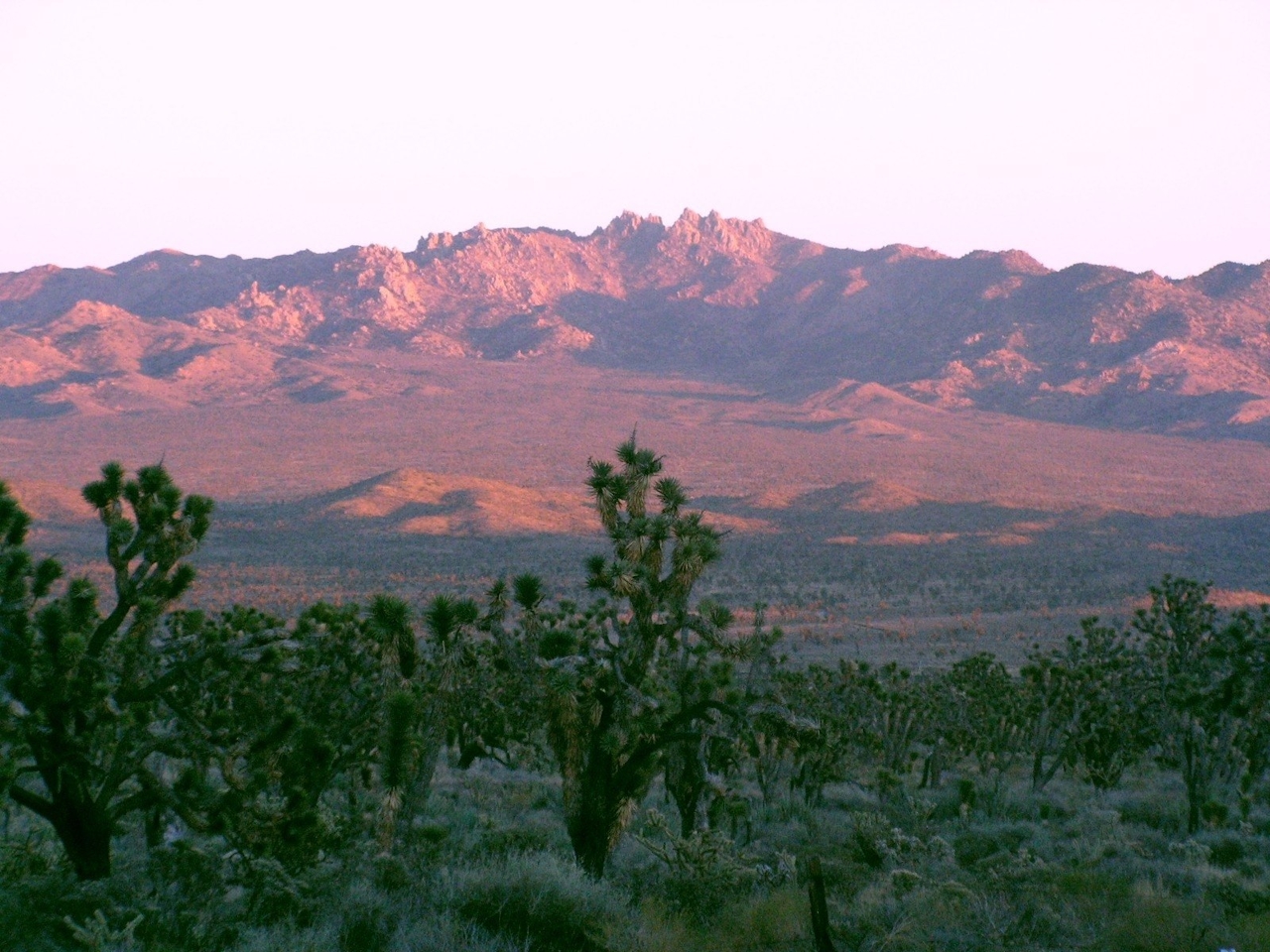
As for the unusual plant life, nearly 300 plant species call the canyon home, including pinyon pine, white fir, oak, juniper, and, weirdly, many coastal chaparral plants that would seem to be more at home in the Santa Monica Mountains. You’ll see manzanita, yerba santa, ceanothus, and coffee berry—leftovers from a long-ago period when the climate here was much wetter. This niche of the New York Mountains is just high and moist enough for them to survive.
The trail culminates at the mouth of the abandoned Giant Ledge Mine. Once a hot spot for copper, silver, and lead mining starting in the 1860s, it has been abandoned for nearly 100 years. As common sense should dictate, it’s wise not to enter the mine. But spend some time in the isolated tranquility of the place before you make your way back to your car and out of this magical canyon.
From Ivanpah Rd., take New York Mountains Rd. west for 5.5 miles and turn north at an unsigned junction. Continue 2.7 miles to a wooded area with a primitive campground. Camping is free, but bring your own water. The approach can be rough; high clearance highly recommended. Dog-friendly!







