Deep Shade of Green
Hiking Hagador Canyon Watershed Trail in the Santa Ana Mountains


It ain’t easy being green, but Hagador Canyon Watershed Trail makes it seem effortless. This 4.2-mile (round-trip) out-and-back hike traces an active creek hidden in the foothills where Corona meets the Santa Ana Mountains. As the weather starts warming up, this is the perfect outdoor outing for keeping cool!
This dynamic hike may start in the suburbs, but it quickly emerges into open space with a close-up view of the sloping mountains. It then takes you upstream while shading you under western sycamores and canyon live oaks that border the flowing water. Wildflowers such as Canterbury bells run alongside the trail, and California tree frogs can be spotted all along the creek.
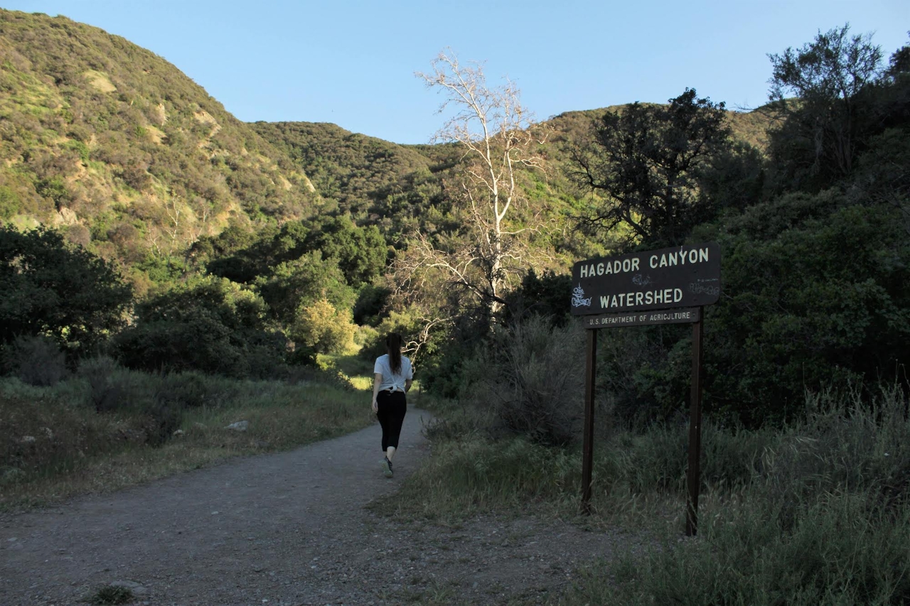
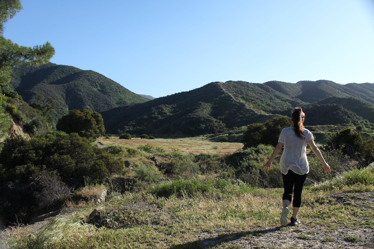
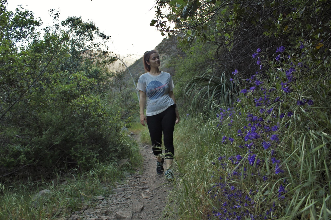
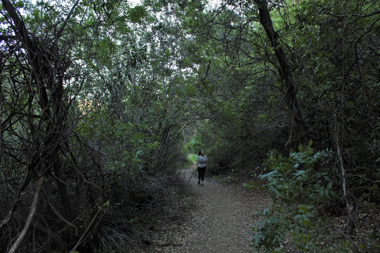
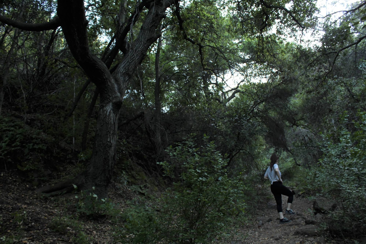
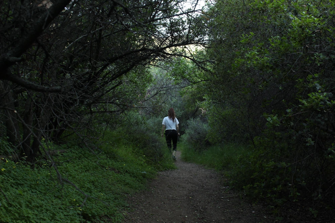
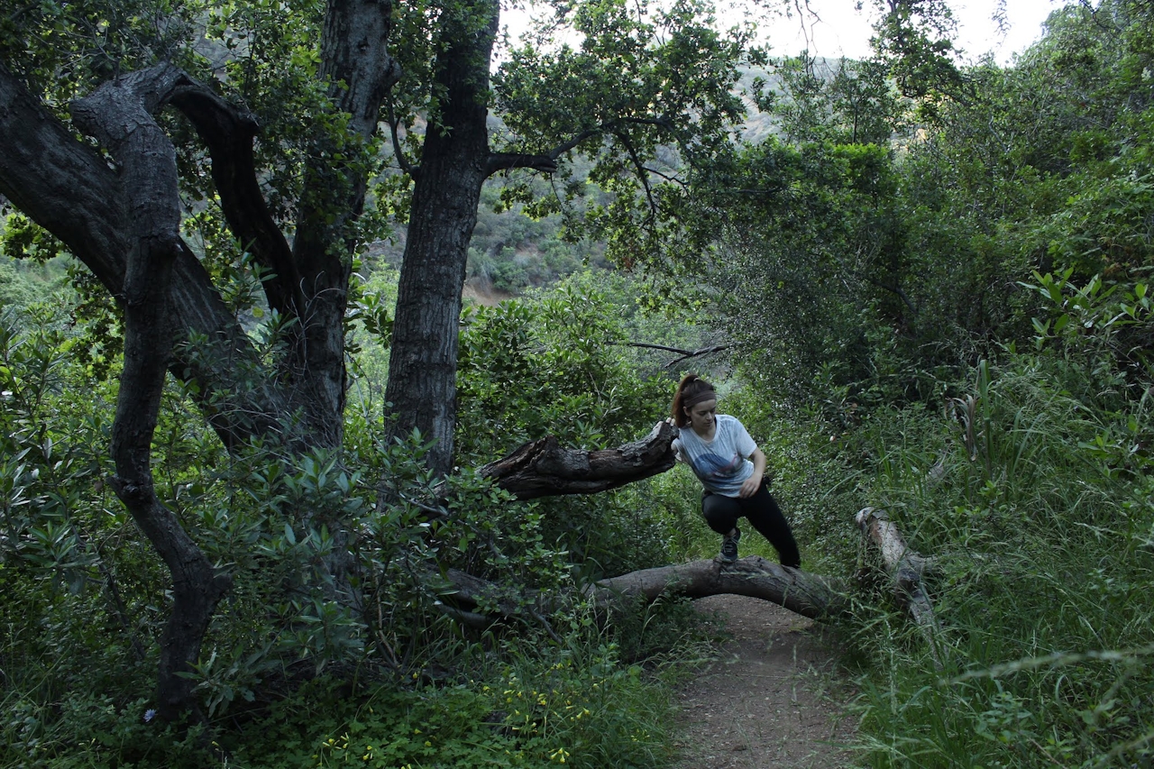
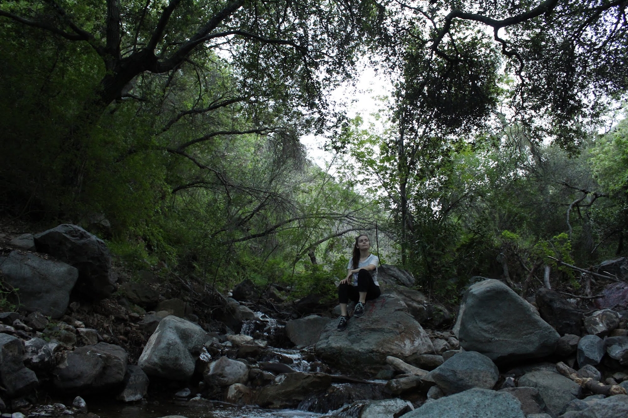


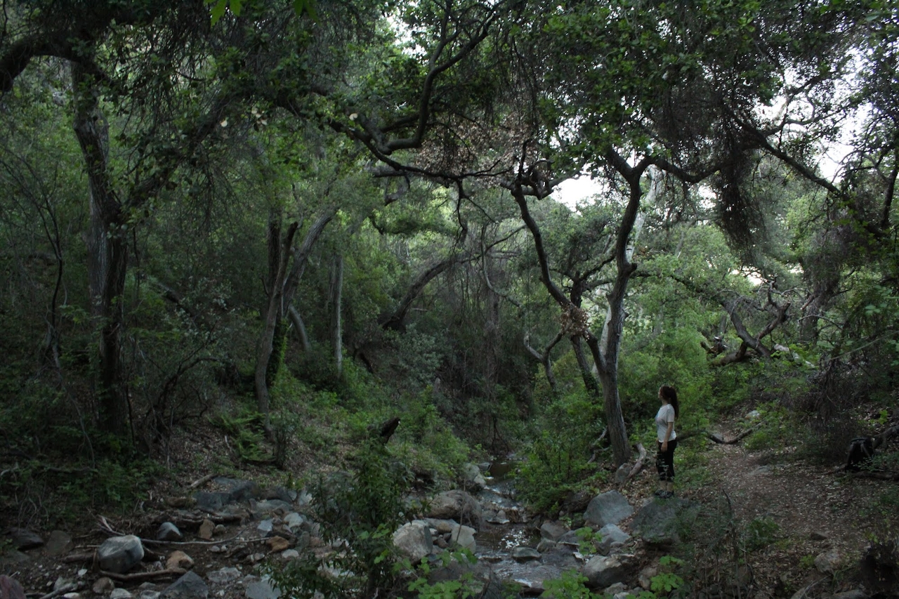
You’ll be crossing that stream multiple times as you hike, and the growth gets thicker the farther you go in. Sometimes the trail can be hard to spot, but if you stay close to the stream and avoid any steep offshoots, you’ll find your way just fine. When you're 2.1 miles from the trailhead, the thick foliage will yield to a wide-open space shaded by a canopy of trees with the water running right through the middle. This area serves as an optimal turnaround point. Just be sure to stop and take it all in before turning back!
From the 91 Freeway, take the Lincoln Ave. exit and head south. Make a right on Foothill Pkwy. At the intersection of Foothill Pkwy. and Trudy Way, make a U-turn. From there you'll see the roadside parking along the south side of Foothill Pkwy. The hike starts on Skyline Drive Trail, which is paved and clearly marked by a sign. Follow the pavement for about 0.3 mile. When the road bends to the right, step over the short railing and head left onto the dirt trail. Continue for almost half a mile through the field. Before entering the canyon you'll see a sign marking Hagador Canyon Watershed and a bench shortly after that. At the bench, head right and continue into the brush. Dog-friendly!







