Baldy View and Candy Canes Too!
Hiking Joatngna Trail in the Angeles and Visiting Logan's Candy Cane Factory


Kids getting restless? Maybe overeager for the big day? Burn off some steam with a family-friendly 0.8-mile stroll on the Joatngna Trail in the Angeles National Forest below Mount Baldy, then reward your troops by showing them how candy canes are made—and eaten!
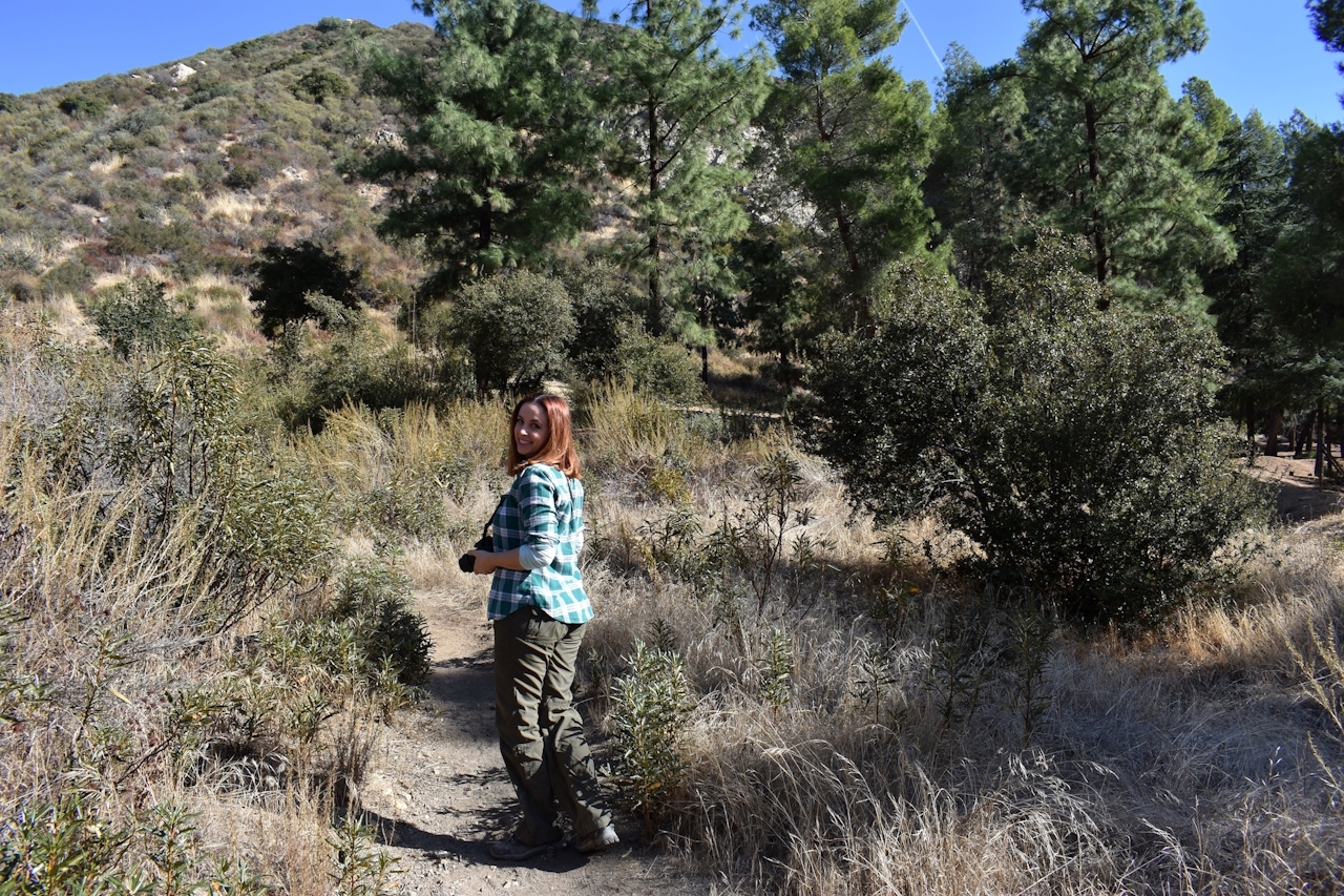
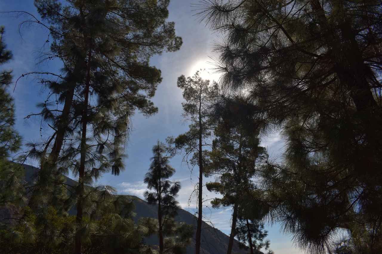
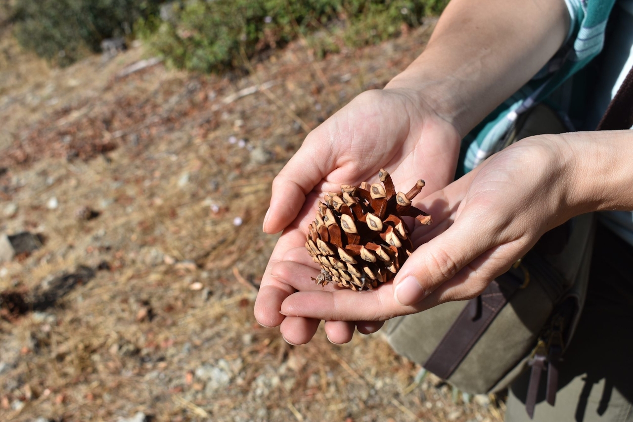
Joatngna means “village at the snowy mountain” in the language of the native Tongva, and the trail is as pretty as it sounds. The Joatngna Trail leads to an overlook that provides amazing views of Ontario and Chino Hills below and Mount Baldy high above. As you snake back down the hill, the trail passes by towering pine trees, making it even more seasonally appropriate!


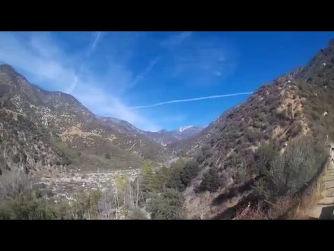
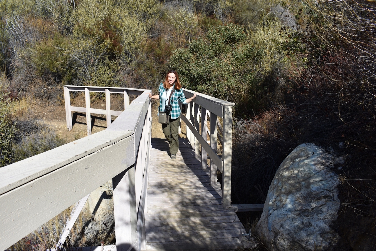
The trailhead is located just west of the Lower San Antonio Fire Station on the north side of the road. It’s a little overgrown, but still easy to follow. Shortly after starting the hike, the trail forks; make sure to follow the right fork—the one that goes uphill. From there it is straightforward and leads back to the road. If you have extra time, taking the left fork instead provides exploration opportunities, including San Antonio Creek.
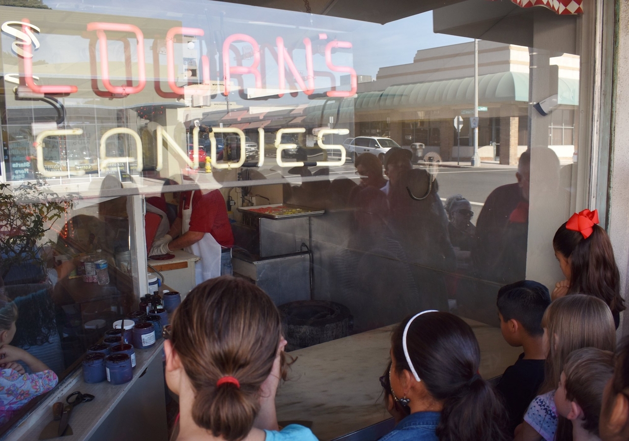

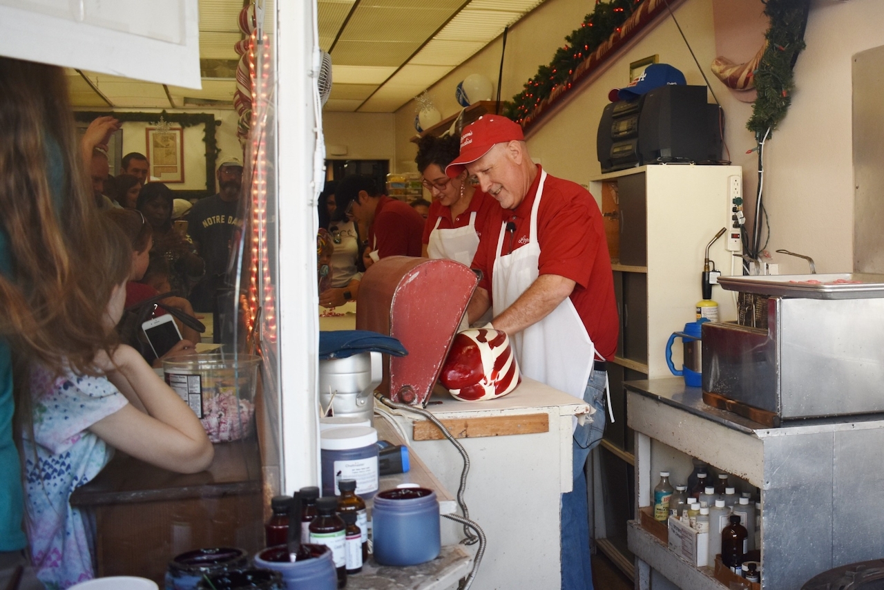
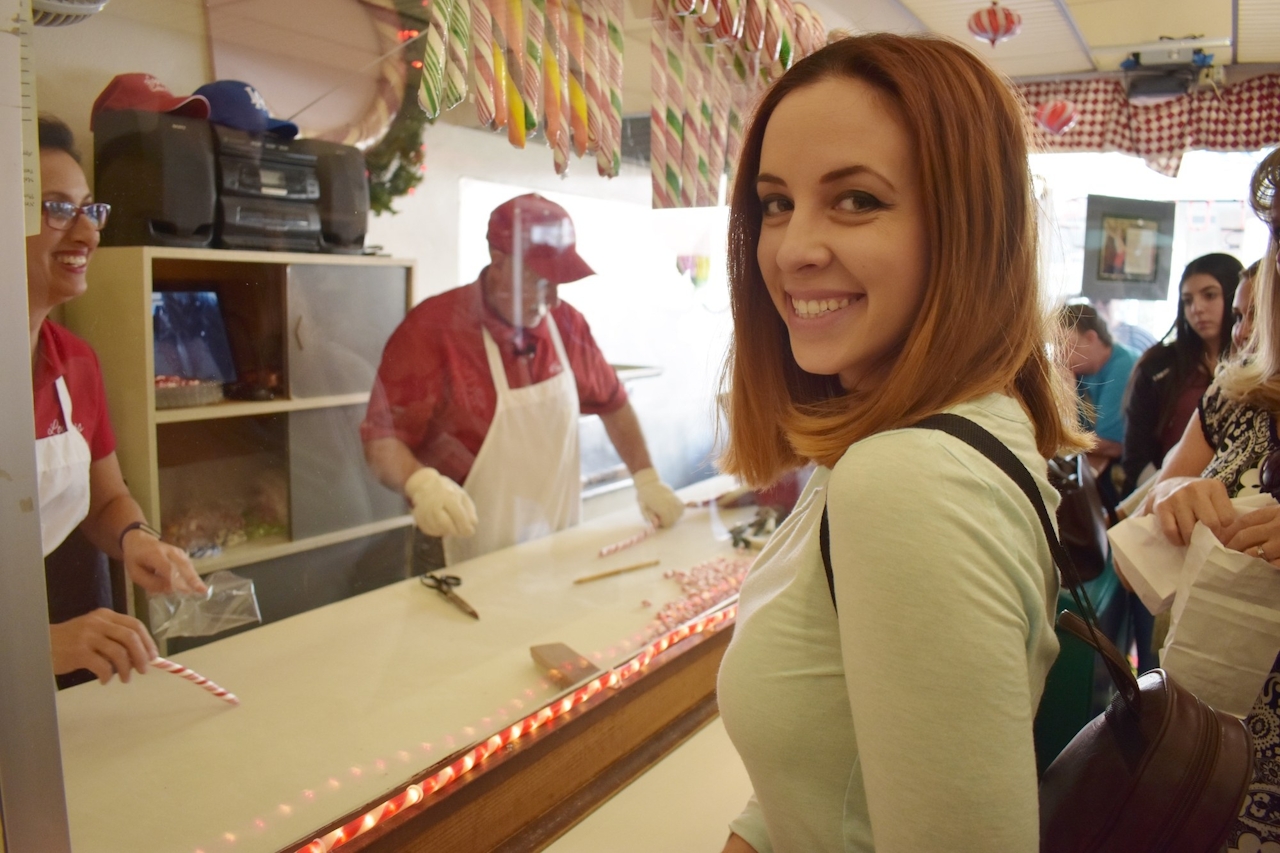


Now, about that candy cane reward! Down below, Logan’s Candies in Ontario has free demos on the fine art of candy-cane making that include a sample of the candy cane you just saw them make. For a small fee, they’ll even let you twist your own candy cane into any shape you want. Get there early to get a good spot; the demos are extremely popular, not to mention sweet-tooth tasty!
To get to the Joatngna Trail, take the I-10 to the Euclid Ave./7th St. exit and turn north. Euclid and Mountain Ave. merge. Continue on Mountain until you reach the Lower San Antonio Fire Station. Park in the turnouts just west of the station. Trail is on the north side of the road. Forest Adventure Pass required for parking. Dog-friendly!
Logan’s Candies is at 125 W. B St. in Ontario. Free demos on December 14–15 and December 18–22 are at 5:30 p.m., 7 p.m., and 8:30 p.m. December 27–28 demos are at 1 p.m., 2:30 p.m., and 4 p.m. Arrive at least 15 to 20 minutes early. Outside viewing area is dog-friendly, but no dogs in the store.







