Malibu Rooftop View
Hiking to Mesa Peak in the Santa Monica Mountains


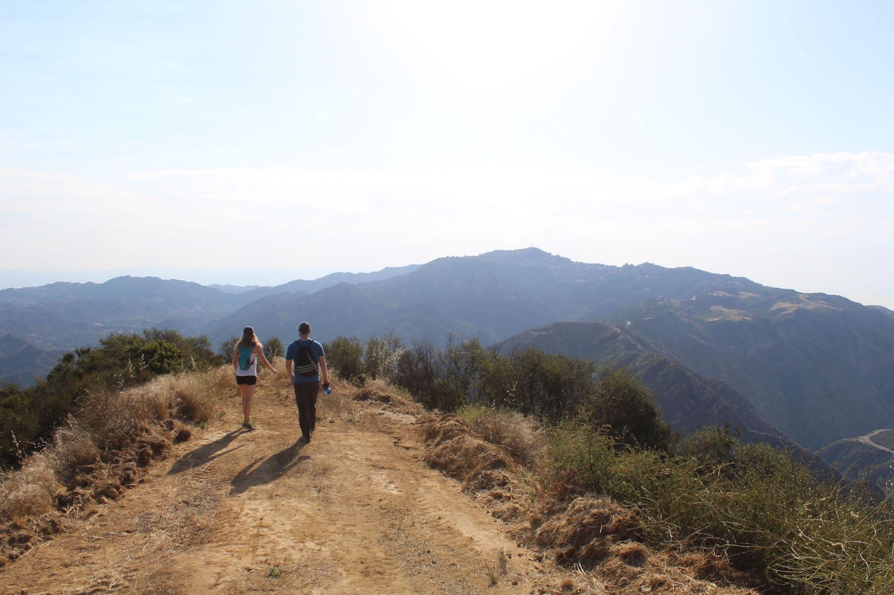
Mesa Peak isn’t your standard summit ascent. For one thing, the peak is 147 feet lower in elevation than the trailhead. But this is not just some downhill stroll. It’s a great up-and-down hike in Malibu that treats you to a Santa Monica Mountains specialty: big ocean views in one direction, big mountain views in another, with some cool sandstone formations along the way.
The hike on Mesa Peak Motorway is a 6.5-mile (round-trip) out-and-back with 465 feet of elevation change as it undulates along a ridgeline at the crest of the range. It’s a segment of the 67-mile Backbone Trail that runs the length of the range. Being up so high while so close to the coast is a wonderful way to experience how vast the great blue beyond really is!
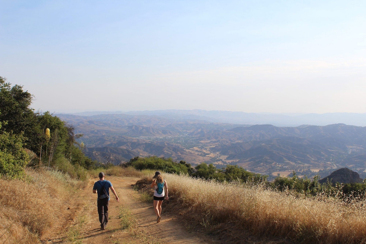
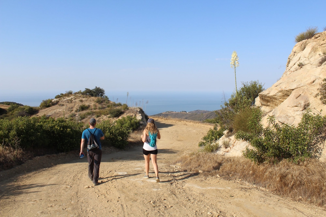
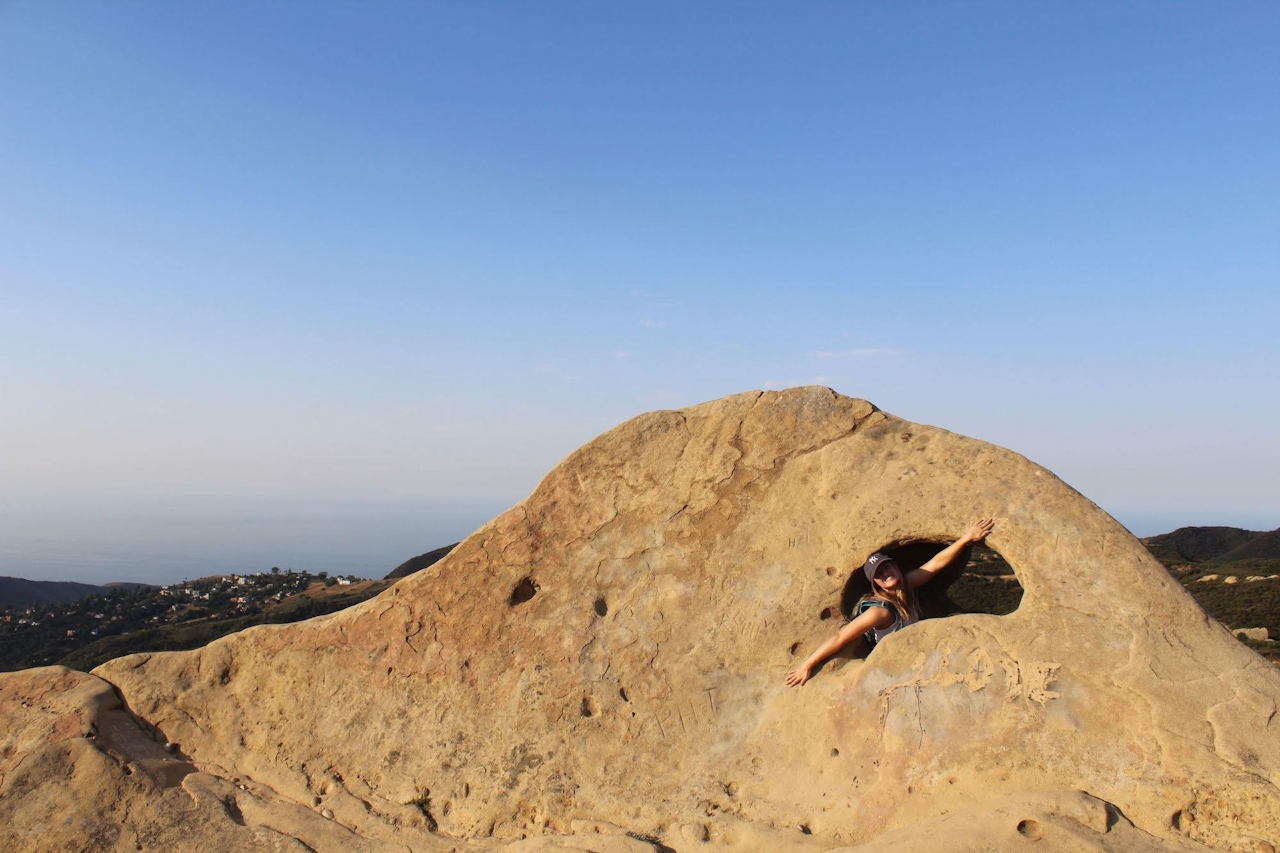

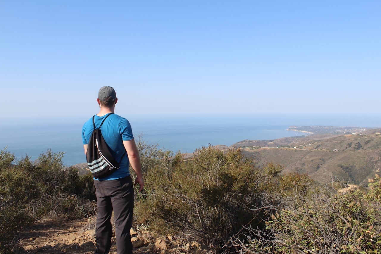
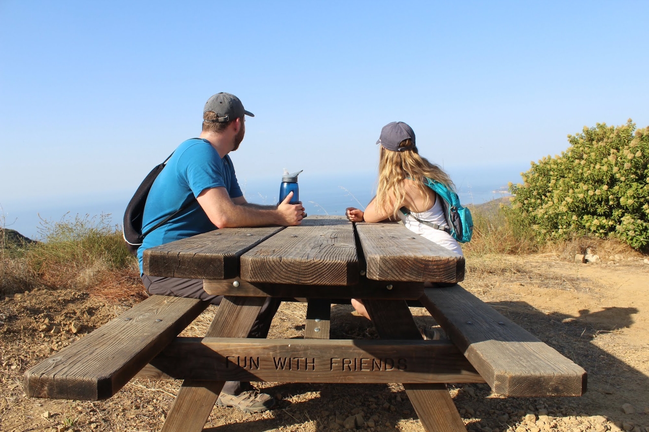
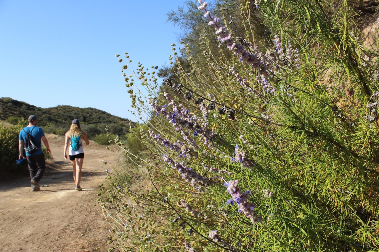
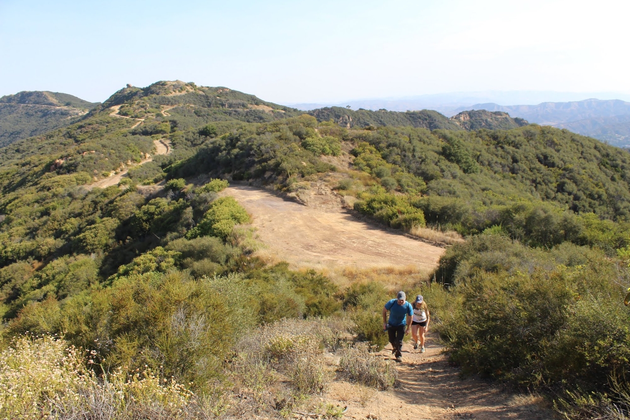
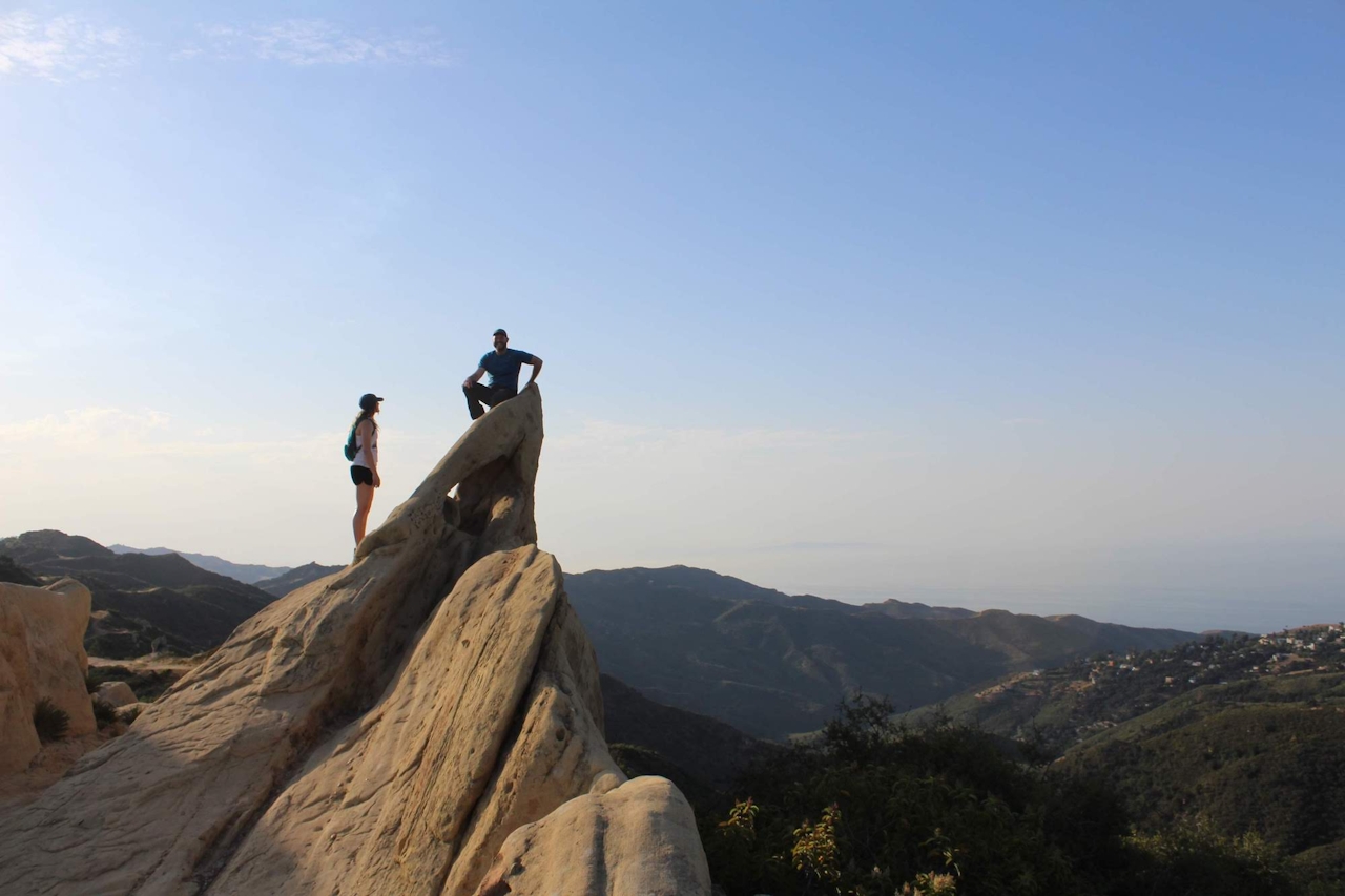
The trail begins directly off Corral Canyon Road just before it dead-ends into a parking area. The so-called motorway is technically a fire road, but it’s mainly used as a trail running and mountain biking route. Half a mile into the trek is a large formation of sandstone outcroppings that you can scramble around on for an added treat. From there the trail dynamically shifts up and down for 2.7 miles, at which point you’ll come to consecutive forks. Stay to the right at both and continue on Puerco Motorway. Mesa Peak subtly rises above the side of the trail at the 3.2-mile mark and can be reached via a rough 30-yard incline. You’ll know you’re at the peak when you see a green storage container. For the best view of the ocean, though, continue a bit farther to a lookout point and drink in a panoramic view before you head back.
Take CA-1 (Pacific Coast Hwy.) to Malibu and turn inland on Corral Canyon Rd. Drive 5 winding miles up into the mountains to the start of Mesa Peak Mtwy., which is on the right. Park in roadside pullouts or at the Corral Canyon Trailhead at the end of the road. Dog-friendly!







