Top of Teutonia

Hiking to Teutonia Peak in Mojave National Preserve

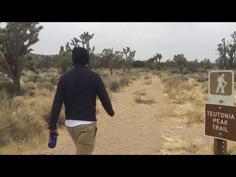
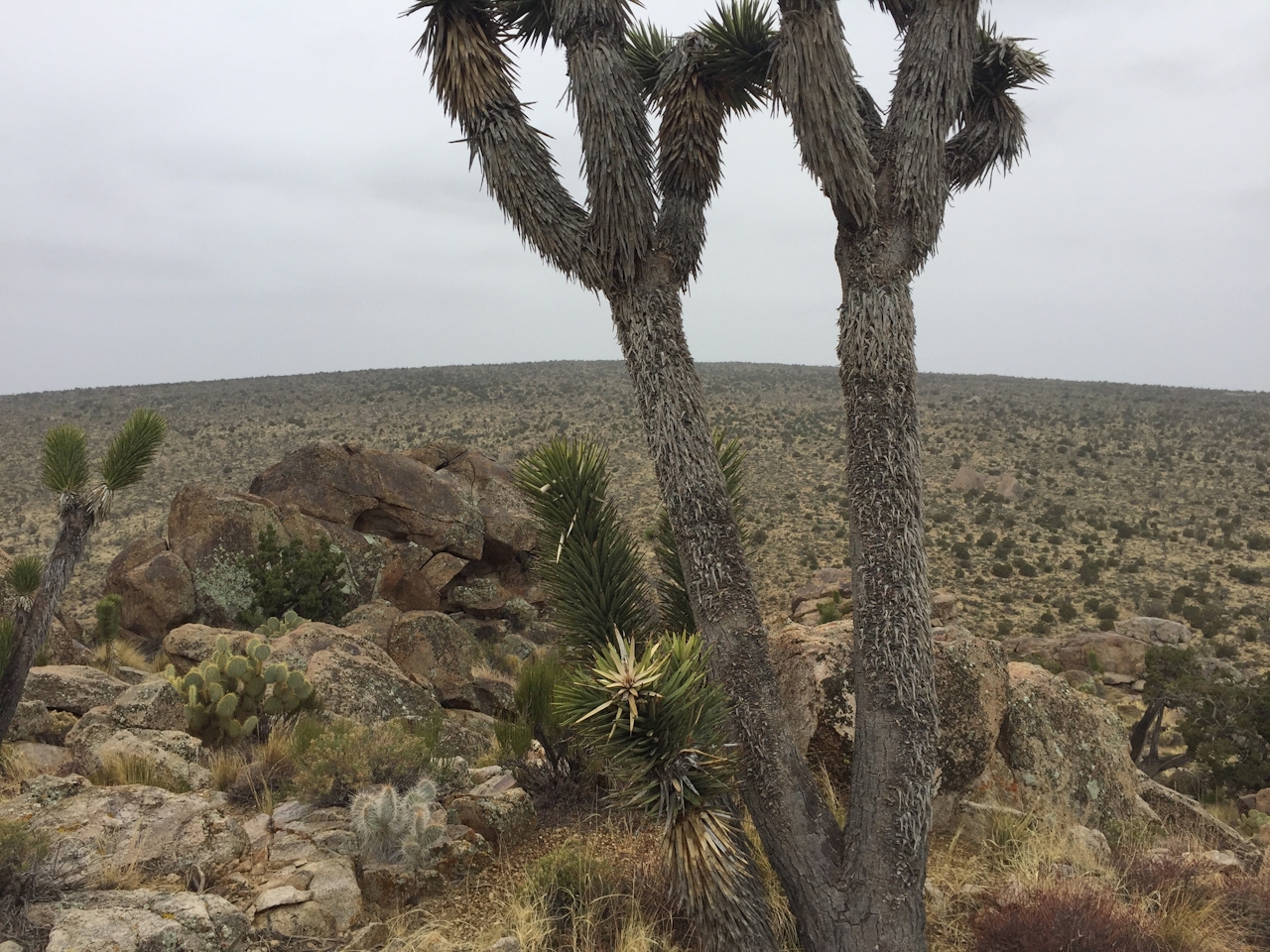
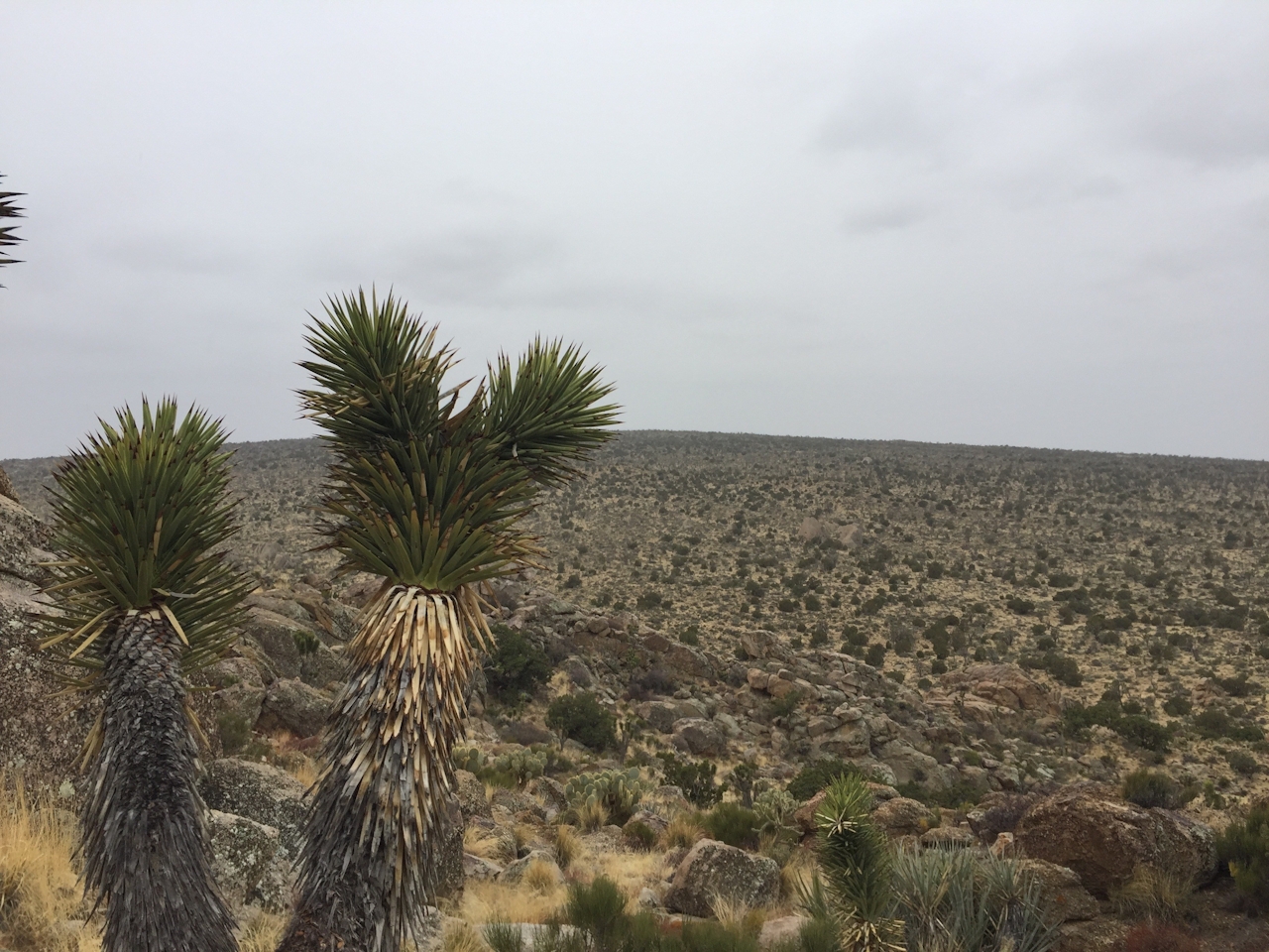
The best way to see just how vast and amazing Mojave National Preserve is? By bagging a peak, of course. From Teutonia Peak, you get a great perspective on the world’s largest and densest forest of Joshua trees, and the amazingly symmetrical landform known as Cima Dome. A quick but challenging 3-mile (round-trip) out-and-back on Teutonia Peak Trail gets you there.

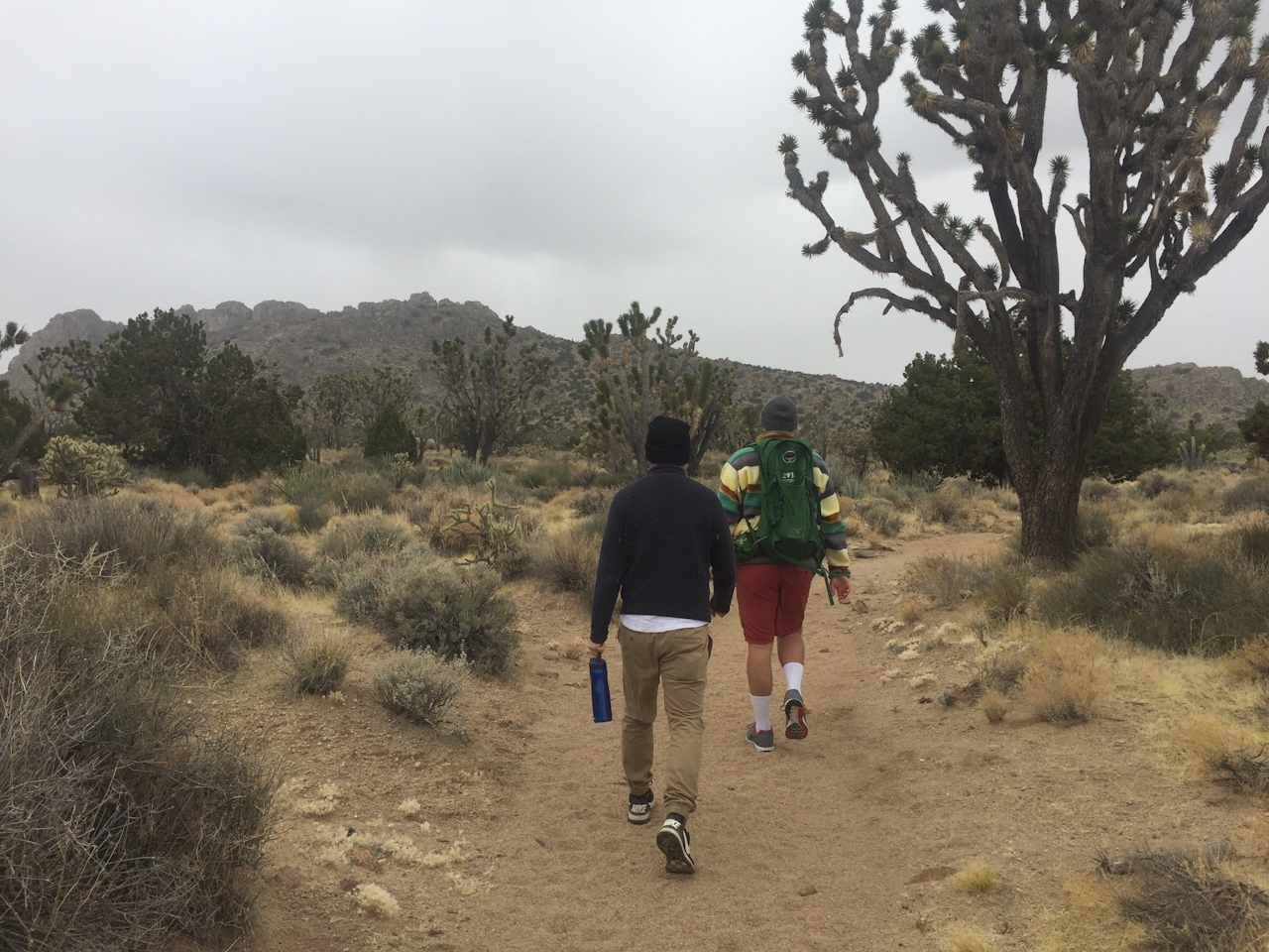
The approach drive on Cima Road and the beginning leg of the hike puts you in the midst of that amazing forest of Joshua trees at ground level. As you head toward the rocky peak, keep your eyes open for lizards, blacktailed jackrabbits, thrashers, and red-tailed hawks.

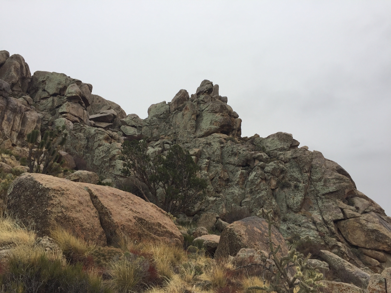
After about a mile of gradual incline, you’ll cross a dirt road that leads to nearby silver mines in both directions. While these abandoned mines are sealed and strictly off-limits, you can explore their entrances before you begin the steep ascent to the 5,755-foot peak. You’ll navigate a series of switchbacks as you rapidly gain altitude, where Joshua trees give way to pinyon, juniper, sage, and prickly pear.
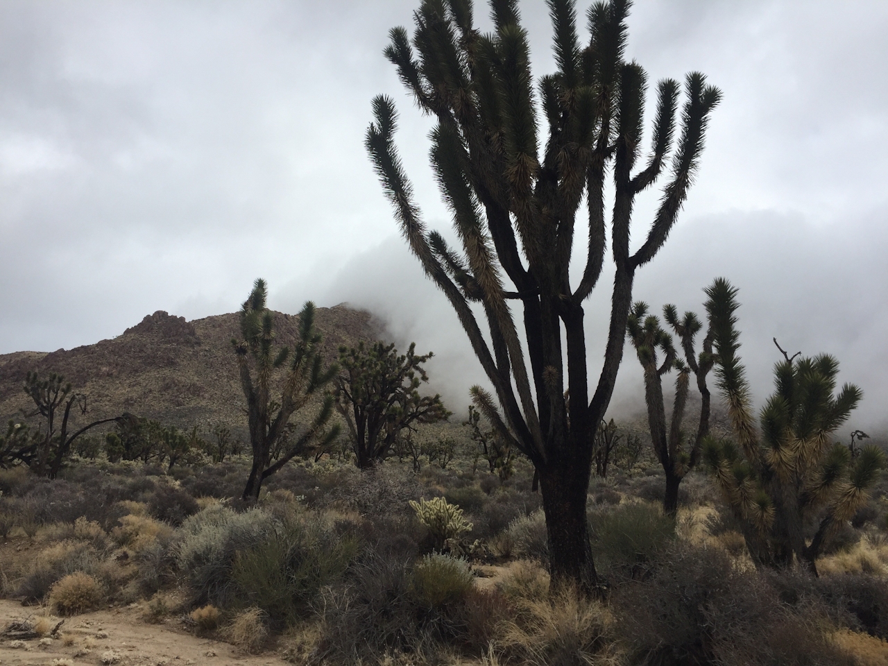
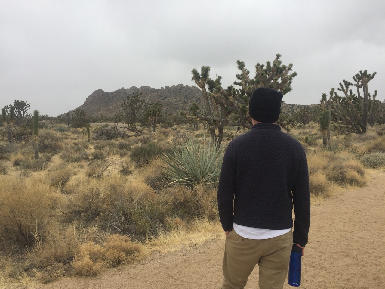
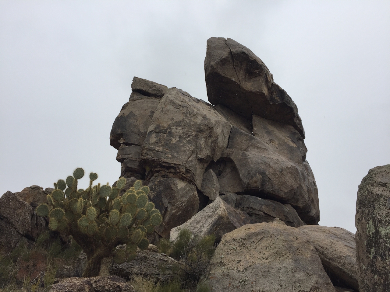
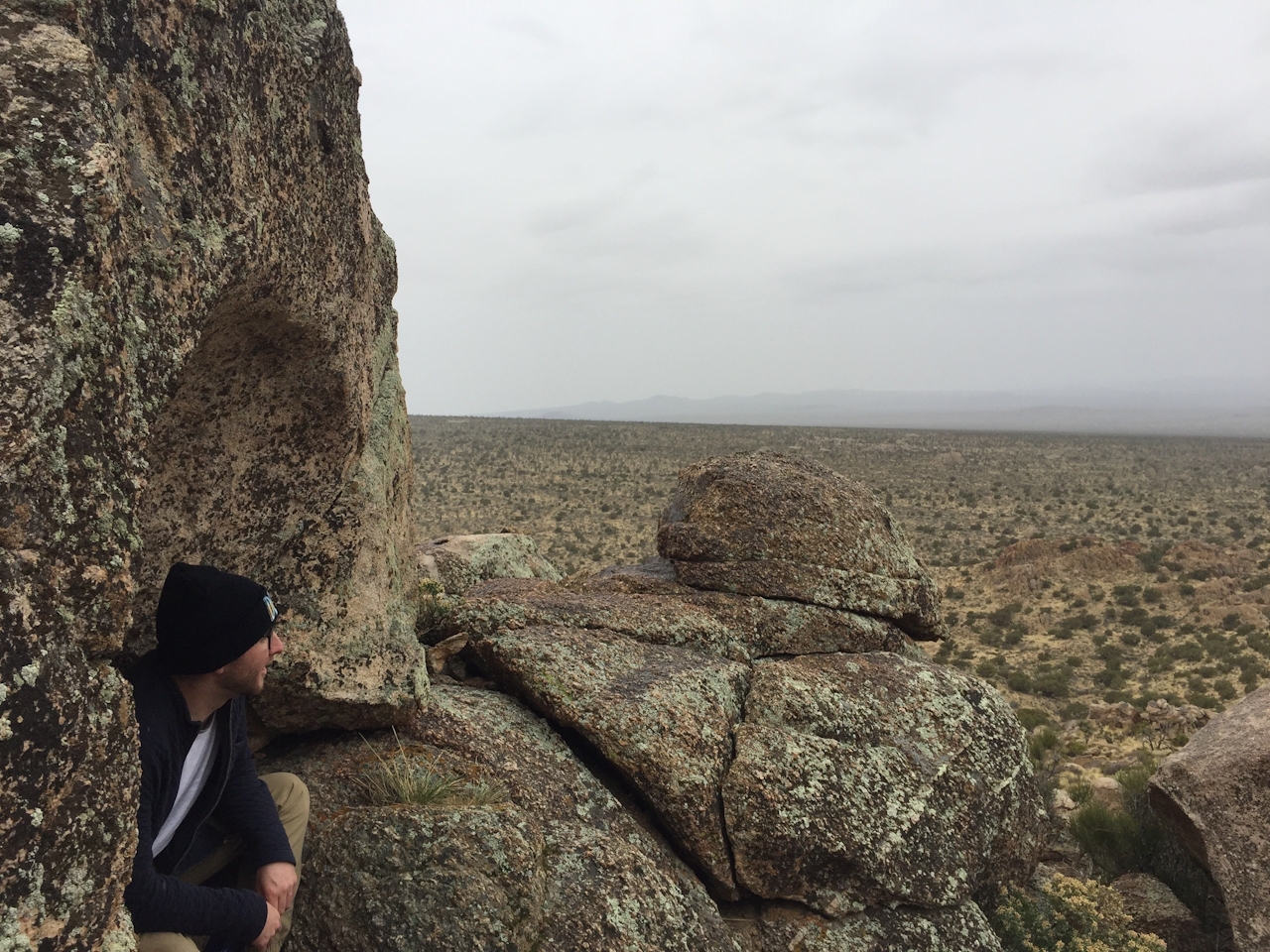
Finally, after a bit of easy bouldering to reach the true peak, you’ll be rewarded with a stunning 360-degree view. Now you can see the perfectly symmetrical shape of Cima Dome, which rose out of the ground somewhere between 180 and 80 million years ago due to shifting tectonic plates beneath the earth’s surface. Congratulate yourself—this is a perspective that landlubbers never get!

The trailhead is on the west side of Cima Rd., 12 miles south of I-15 and 1.7 miles north of Kessler Springs Ranch. The nearest camping is 22 miles southeast at Mid Hills Campground ($12). Bring your own water. Dog-friendly!

Trending Stories NorCal

View all Stories
  1. Barbary Coast Trail medallion hike in San Francisco

    Medallion Walk SF

    The Barbary Coast Trail is a 3.8-mile historical walk and treasure hunt through San Francisco. Be on the lookout for hubcap-sized bronze medallions placed on the city sidewalks with arrows pointing you in the right direction.

    View
  2. Greater by the Dozen

    This hike is anything but a dime a dozen. The all-new "Golden Gate Dozen Trail" links 12 National Park sites on a spectacular 13-mile journey across San Francisco's coastline.

    View
  3. Inn-spiration Point!

    For more than a century, people have been hiking or mountain biking to West Point Inn for good reason. Perched at 1,785 feet on the southern slope of Mount Tamalpais, the historic inn has sweeping views from the Marin Headlands to the San Francisco skyline.

    View
  4. A Thousand Steps to Paradise

    A picture is worth a thousand words, but is a gorgeous beach in Laguna worth a thousand steps? The answer is yes, though the question is moot, because it’s only 223 steep steps down to the 400-yard stretch of sand known as 1000 Steps Beach.

    View

Trending Stories SoCal

View all Stories
  1. Roaring Redwoods

    Tucked next to brilliant Henry Cowell Redwoods State Park in Santa Cruz, the folks at Roaring Camp Railroads had a bright idea: When the sun goes down, the rainbow lights come up. Sequoias at Night brings big magic to some of the tallest trees in the world.

    View
  2. There's Always To Moro!

    Looking for a rock-solid itinerary in Sequoia National Park? Pair the park's most famous viewpoint with one that's often overlooked.

    View
  3. Rancho Style

    Vicente Bluffs Reserve dazzles anytime, but during the golden hour it’s an absolute knockout. Majestic rocky bluffs, dreamy ocean views, and a picturesque lighthouse are just a few of the reasons.

    View
  4. Sponsored

    Take the Exit to the Best of the San Francisco Peninsula

    The San Francisco Peninsula is proof that some of Northern California’s greatest surprises are hiding just off Highway 101. All you have to do is take the exit.

    View