Tamorama!
Matt Davis, Coastal, Cataract Trails on Tam


Wide-open coastal views, wildflowers, and a waterfall—get spring-loaded on a 6.5-mile (round-trip) hike that links together Mount Tam's Matt Davis, Bolinas Ridge, and Cataract trails. Start off weaving under a canopy of Douglas fir, oak, and bay trees before breaking out to a meadow festooned with golden poppies, purple lupine, and iris.
Expansive views from here stretch up and down the coast: to the south lies Ocean Beach, and as you round the bend in the trail, the turquoise waters of Bolinas Lagoon sparkle. Bolinas Ridge Trail’s singletrack brings an unbeatable vantage of Stinson Beach (look out for hang gliders!), and en route you’ll pass the rusty remains of a car that crashed decades ago. Laurel Dell picnic area makes a nice, shaded place for a break with its clutch of tables and a grill. Here you can take a 10-minute detour to the mist-covered rocks and big leaf maples of Cataract Falls.

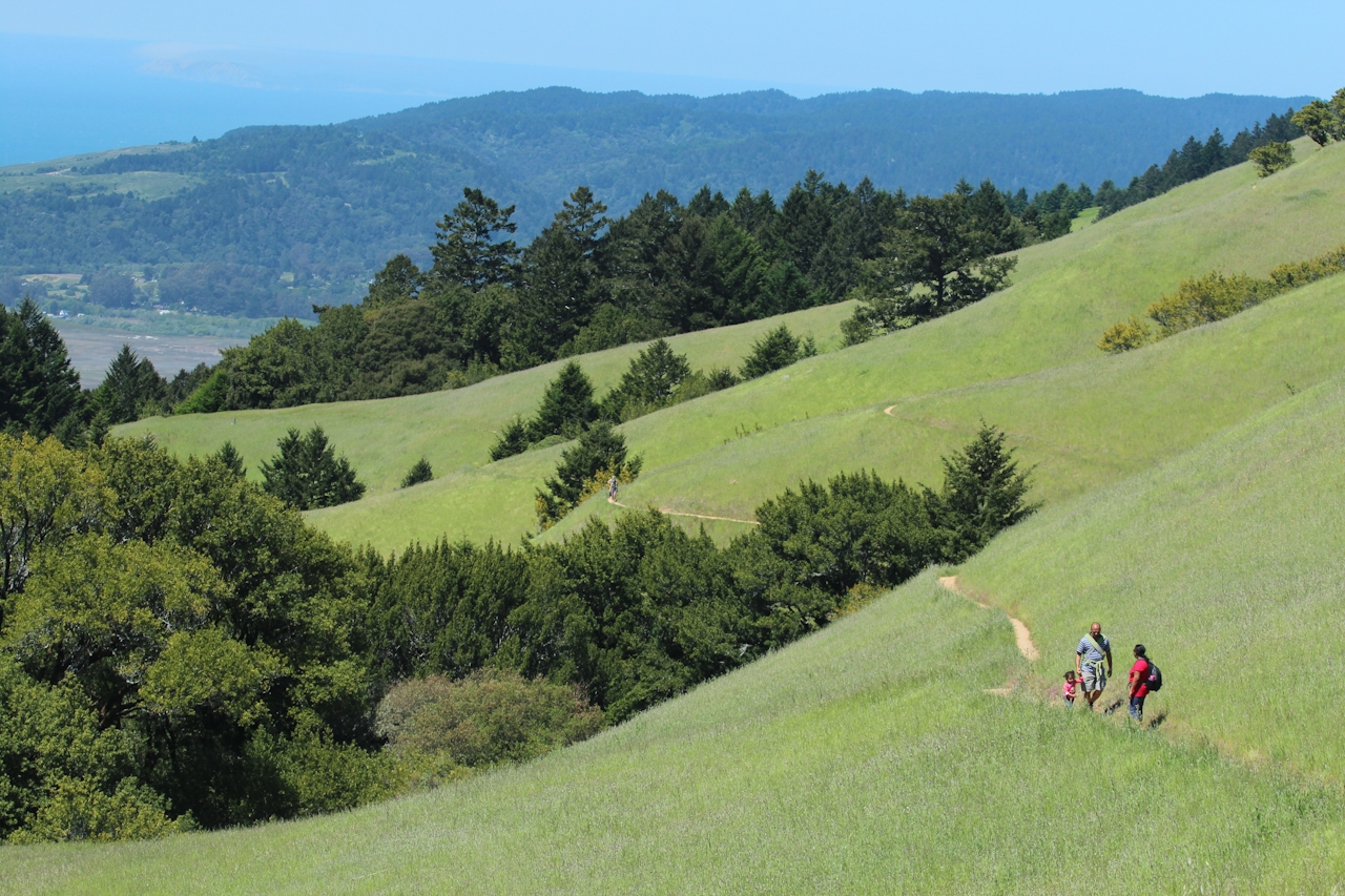
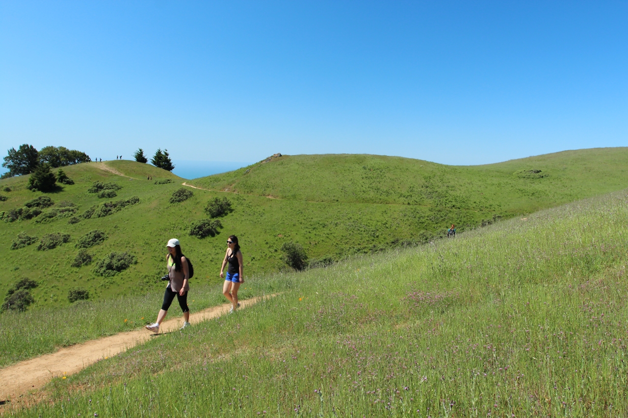
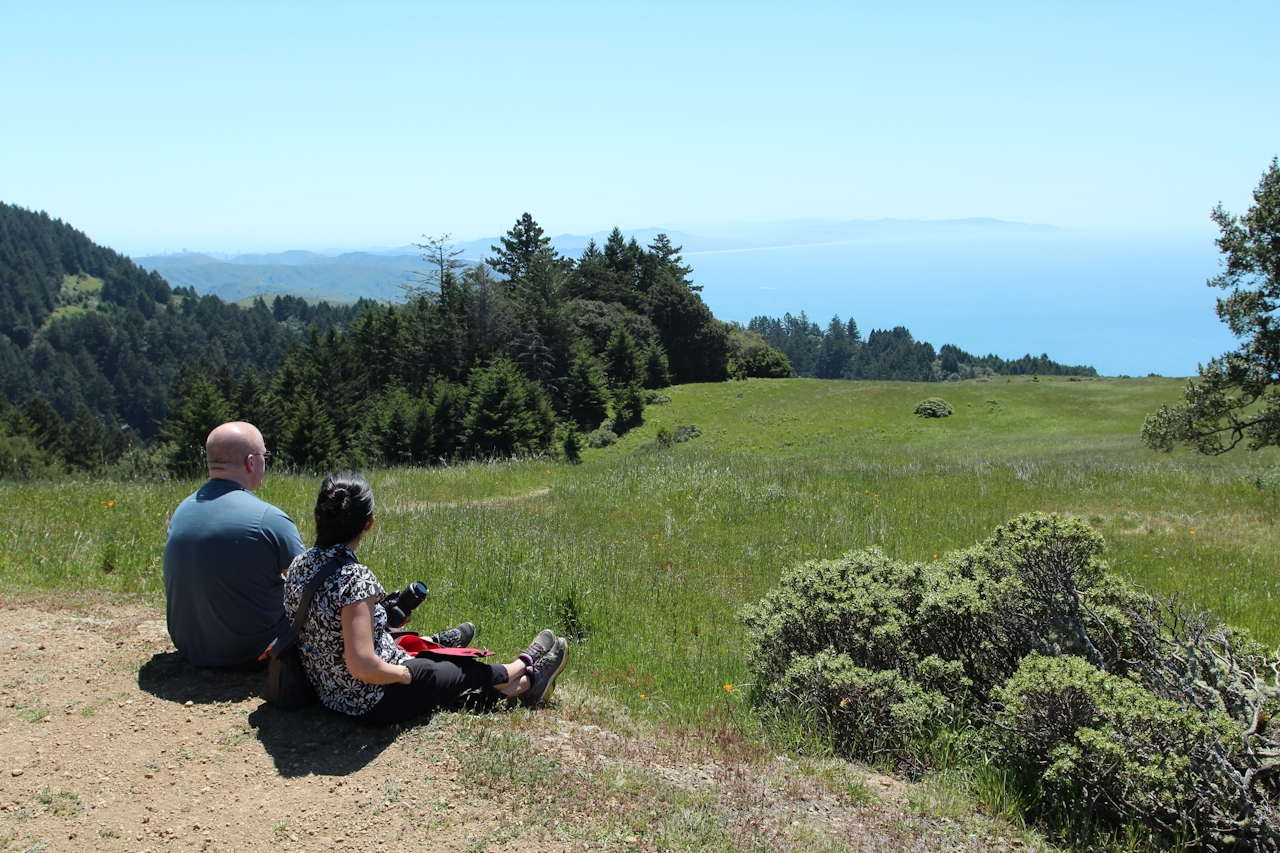
The home stretch crisscrosses the creek via Cataract Trail and culminates in a beautiful descent on Old Mine Trail—a little used gem with some of the biggest views you can find of San Francisco, Oakland, and the North Bay. Hot Tam!
BONUS: As part of California State Parks Week, Mount Tamalpais State Park is hosting Bio Blitz (Support Climate Resilience) on June 16.
Begin at the Pantoll Ranger Station parking lot off Panoramic Hwy. (map) where you can also pick up a trail map. It’s $8 to park. Cross the highway to start the Matt Davis Trail. After 1.5 miles go right at the intersection with the Bolinas Ridge/Coastal Trail. Follow Bolinas Ridge/Coastal Trail for 1.75 miles. Turn right on the Willow Camp Fire Road and go up to Ridgecrest Blvd. Cross the road and continue on dirt road to Laurel Dell. Take a side trip to Cataract Falls, then head to Rock Spring via Cataract Trail. At Rock Spring, cross the parking area and bear left up a signed fire road toward Mountain Theater, then bear right on Old Mine Trail. Follow it back to Pantoll. No dogs.







