Stranded in Dana Point
Orange County "Secret" Beach: Dana Point Strand


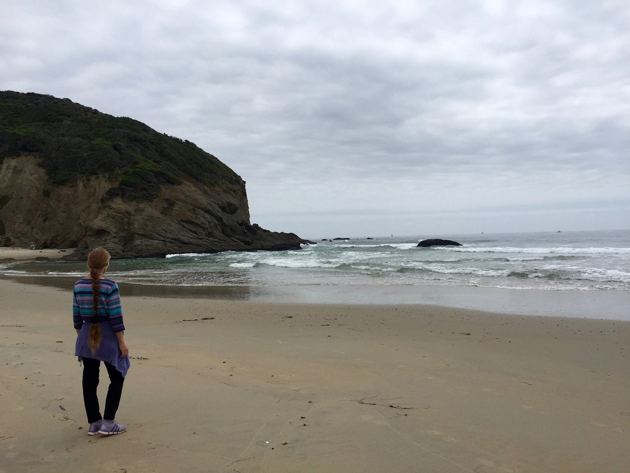
The key to finding an uncrowded beach in Orange County? Be willing to hike! Dana Point’s Strand lies beneath a protected coastal promontory called the Headlands, surrounded by rocky bluffs and elegant homes. Getting there (and back!) is a challenge—exactly why it’s such a great beach!
You can skip the main parking lot (where a refurbished funicular shuttles people much of the way down) and opt for a diverse 3-mile loop starting at the cliffside Dana Point Nature Interpretive Center. Grab a map and hike through coastal sagebrush, buckwheat, and coastal scrub. As you meander through the preserve, search the skies for osprey and listen for the meow-like song of the threatened California gnatcatcher.
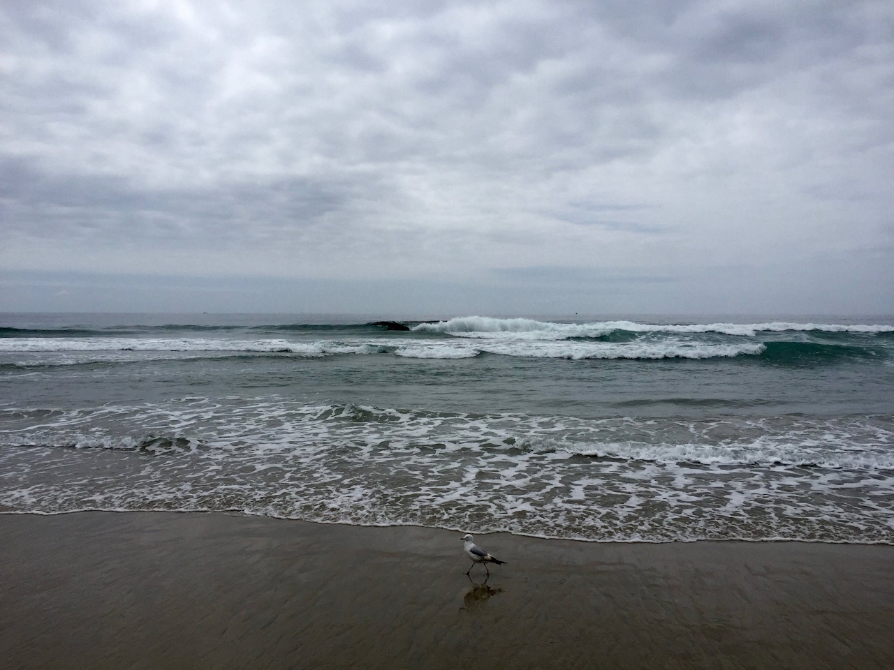
A brief walk on a road and down some switchbacks leads to the sand. Grab a spot, relax, swim, look for the local brown pelicans, and enjoy your beach day. When it’s time to go, head up the shoreline, and then conquer some leg-busting stairs that trace the funicular track, and follow the path along the main lot as you are rewarded with constant panoramic ocean vistas.
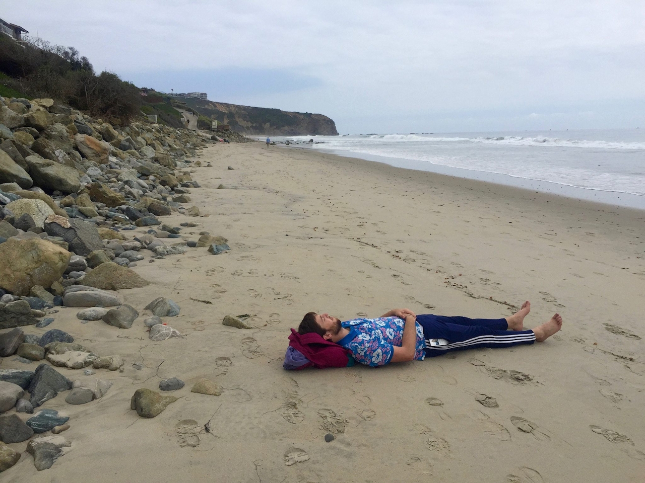
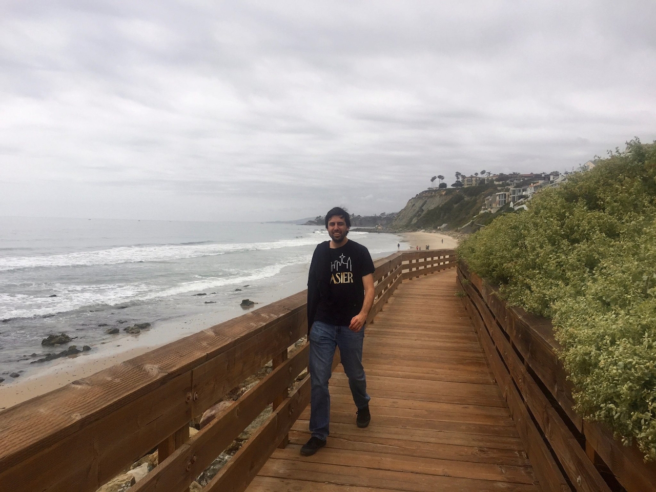
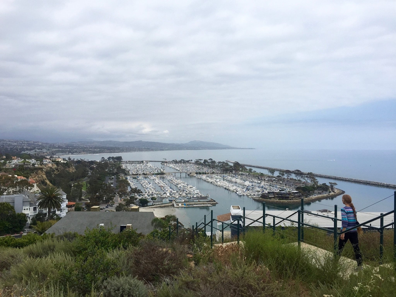
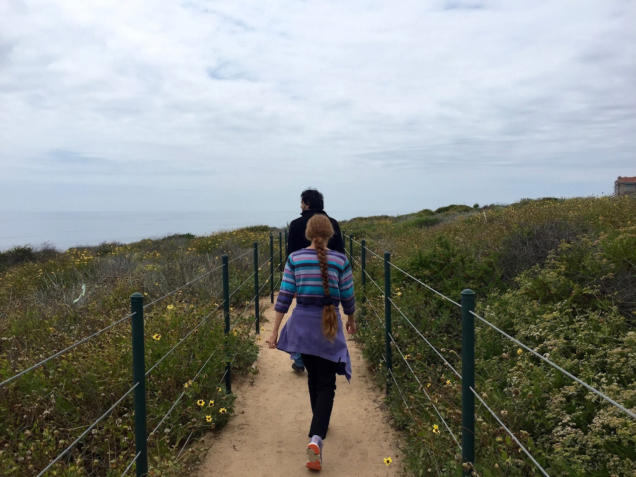
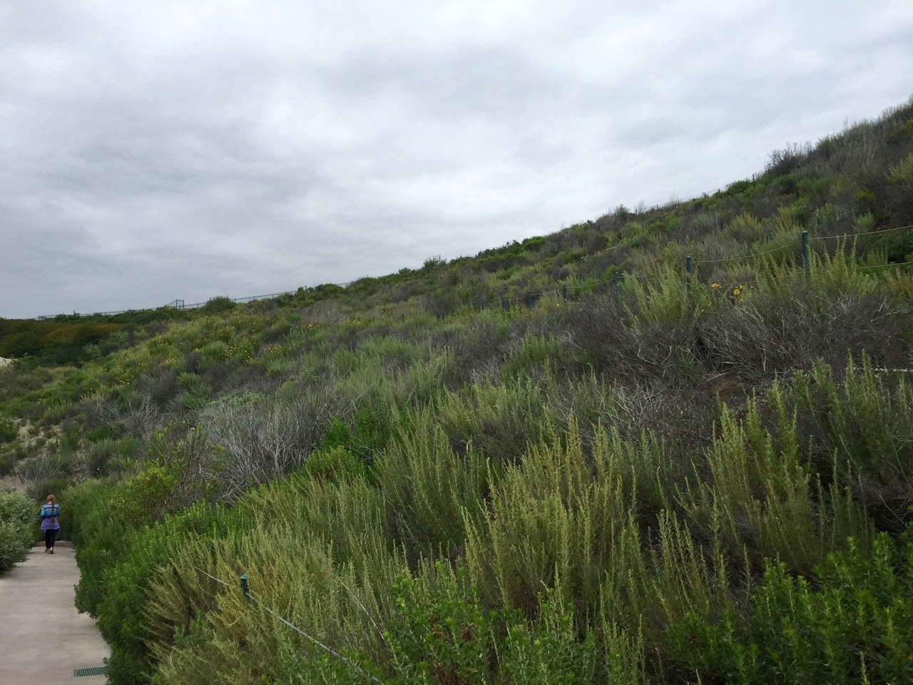


Soon the paved walkway reaches Selva Road. Cross it to the aptly named Passage des Palmiers, a paved uphill test among palm trees. At PCH, head for a trail to your right leading into Hilltop Conservation Park, where more native flora thrives, including coastal prickly pear and bush sunflower, not to mention views of the fishing boats and yachts moored at the Dana Point Marina. The outlet releases you onto Street of the Green Lantern, which leads you southwest back to the Interpretive Center parking lot and the completion of your beachin’ workout!
Bonus: The nearby Ocean Institute, an educational center for marine biology and history, is home to interpretive exhibits and a replica of Pilgrim, the ship that Richard Henry Dana himself sailed aboard in the 1830s.
To get to the Dana Point Nature Interpretive Center (10 a.m. to 4 p.m., parking lot closes at sunset), from the north, take Pacific Coast Hwy. (CA-1) to Street of the Green Lantern. Turn right and follow the road as it becomes Scenic Dr., which leads to the lot. From the south, take Pacific Coast Hwy. (CA-1) and turn left on Dana Point Harbor Dr. Continue a mile and turn right onto Cove Rd., followed by the next left onto Scenic Dr., which leads to the lot. No dogs.
Story and photos by Matt Pawlik, @mattitudehikes







