Santa Clarita Spin

Placerita Loop Bike Ride

Santa Clarita is the bike-friendly host city for stage 5 of this year's Tour of California. The pros will cross the finish line here, but you'll get to see more on a 22.5-mile loop that includes scenic roads used in past tours, along with nicely paved bike trails that the pros don't get to enjoy. The Placerita Loop is a city-to-country ride that begins with 9.5 miles on paved bike paths. Even during the urban portion of this ride, you'll catch sight of the mountains that frame the Santa Clarita Valley. The scenery becomes more country style as you turn up Sand Canyon Road, pedaling past horse ranches in the foothills of the San Gabriels. The green ridges of the mountains rise straight ahead. You might expect the ascent to be over as you swing onto Placerita Canyon Road, but the ride throws one final climb in your path before you can basically cruise back down to Santa Clarita. But don't whiz by too fast! You'll miss your chance to see the Marshall Homestead Ruins in Golden Valley Ranch Open Space as well as Placerita Canyon. Great Santa Clarita!

TIP: Follow a map of the Placerita Loop provided by Bike Santa Clarita, but switch the starting point to Newhall Park (near mile marker 21), which is just before the start of the bike path and has easy parking and plenty of grass to stretch out on after your ride.
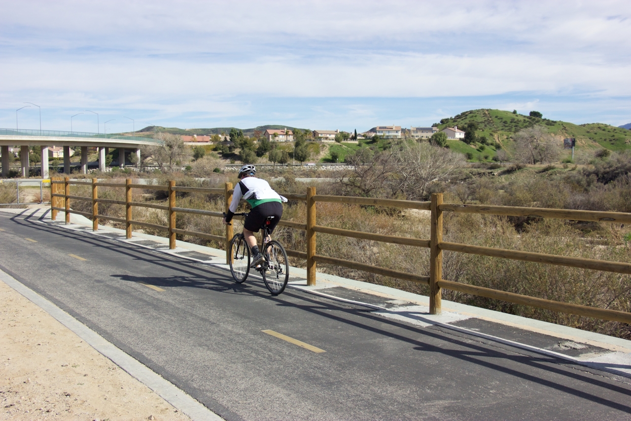
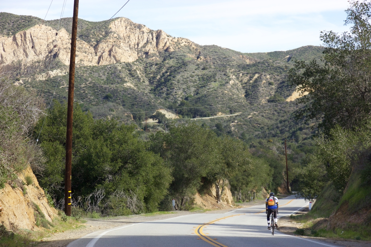
From Newhall Park (24923 Newhall Ave. in Santa Clarita), bike north past the end of Newhall Ave. and turn right onto South Fork River Trail. Pass below Magic Mountain Pkwy. and turn onto Chuck Pontius Commuter Trail, which makes its way east, crossing the river to Santa Clara River Trail. Ten miles in, when the bike path ends, turn left below CA-14, and make a right turn on Soledad Canyon Rd. Right turns on Sand Canyon Rd. and Placerita Canyon Rd. take you into the mountains and back to Santa Clarita. Go through an odd pedestrian gate at the bottom of Placerita Canyon Rd. and make your way back to Newhall Park.

Trending Stories NorCal

View all Stories
  1. Sponsored

    Reno Mountain High

    Take your vacation to new heights with some of the season’s most original events, and plenty of outdoors to explore. Fall for it all in Reno Tahoe.

    View
  2. Walk on the Wise Side

    A wise man once said, “Walk it off.” And San Francisco has just the place for a colorful walk via a 2.7-mile loop along Philosopher’s Way Trail in the 318-acre John McLaren Park (S

    View
  3. Hiker on the SCA trail in Marin Headlands with view of the Golden Gate Bridge

    Headlands Over Heels

    People come from all over the world to get a glimpse of the Golden Gate Bridge. Get a dramatic and novel view of the bridge without all the people on this moderate 6-mile hike in the Marin Headlands.

    View
  4. Greater by the Dozen

    This hike is anything but a dime a dozen. The all-new "Golden Gate Dozen Trail" links 12 National Park sites on a spectacular 13-mile journey across San Francisco's coastline.

    View

Trending Stories SoCal

View all Stories
  1. Can We Get a Whoop Whoop!

    City, mountain, and ocean views all in one hike? Whoop whoop! It’s no surprise the the Kenter Fire Road and Whoop-de-Doos Trail (a combo of fire road and singletrack) is a favorite among local mountain bikers and hikers alike.

    View
  2. The Big Chill

    In LA, finding a place to chill can be the ultimate flex. So flex, in Franklin Canyon! This unexpected oasis has plenty of shade, cool lake breezes, and ample picnicking spots. Enjoy it on an easy-going 1-mile stroll along its reservoir and duck pond.

    View
  3. Holcomb We Haven't Camped Here?

    Holcomb Valley Campground in the San Bernardino National Forest has 19 pine-shaded sites, all of them first-come, first-served.

    View
  4. Waterfall Hunter

    If you ask a local in Reno about one of the best hiking trails in town, odds are high they’ll point you to Hunter Creek Falls. It’s a year-round favorite, but it absolutely shines in spring, when desert peach wildflowers make a splash—and so does the marquee waterfall.

    View





