Sunset Hike at Dante's View

Sunset Hike at Dante's View in Death Valley National Park

A woman stands at Dante's View in Death Valley, looking out to Telescope Peak and Manly Lake, Badwater Basin below.

It’s one of the world’s best places to watch a sunset. Dante’s View is a 5,476-foot vantage of the whole southern basin of Death Valley from the top of the Black Mountains. On clear days you get views of both the highest and lowest points in the contiguous U.S. 
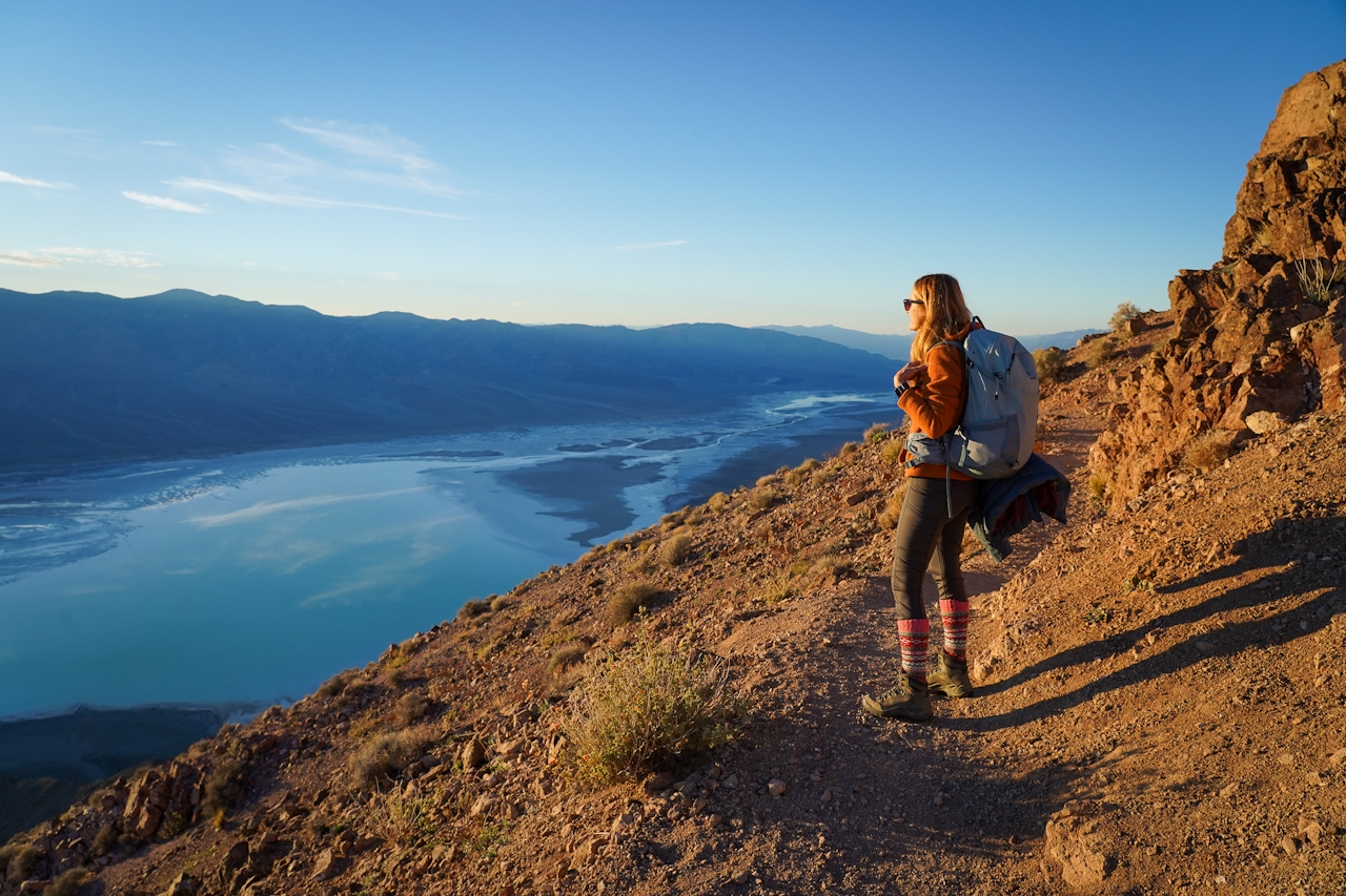
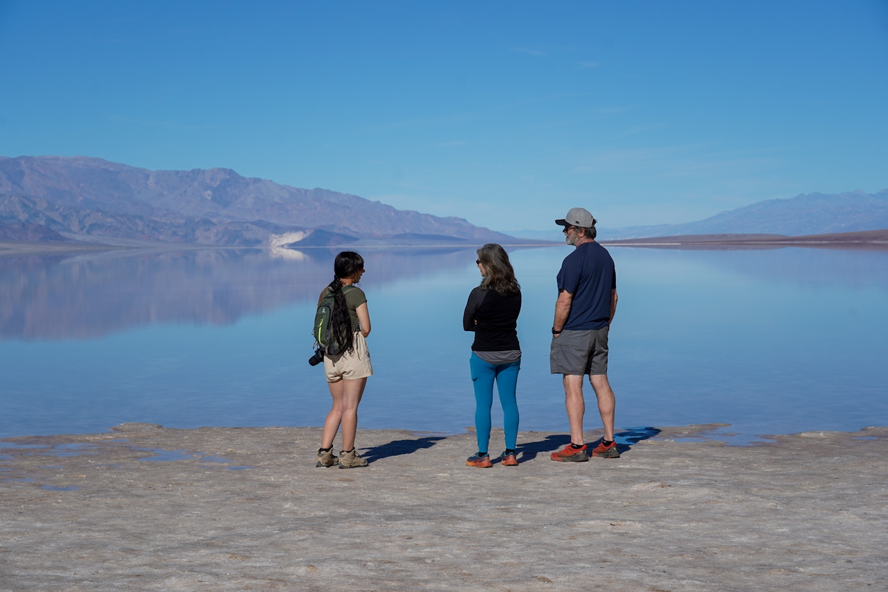
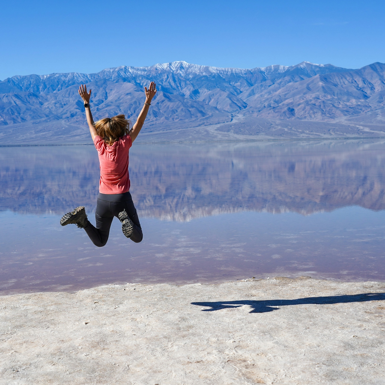
Arrive before sunset and from the large parking area head north and up a spur trail overlooking the lowest point in North America, Badwater Basin. The basin is sometimes graced with a temporary oasis, Manly Lake (pictured below); the lake is created and replenished by atmospheric river storms. It could be called Mirror Manly Lake because of the incredible reflections the water mirrors from the surrounding mountains.
Within a few minutes on the trail you’ll see a spur trail to an obvious outcropping where you can take a seat or give a standing ovation to the storied scenery.
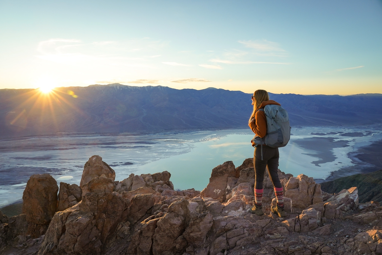
Epic is not an understatement here as you scan the panorama: Badwater Basin’s temporary and luminous Manly Lake reflects the day’s sinking sun rays while mirroring the massive Telescope Peak in the background. And the views keep going: a valley-to-peaks layered expanse as far as your eyes can see—from mountains to the east in Nevada all the way west across the Panamint range and to Mount Whitney—the highest point in the Lower 48.
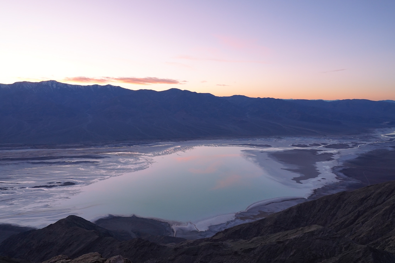
The viewpoint has enough safe and flat space to enjoy the view without climbing on top of the jagged outcroppings, though if you insist, mind your footing and knot your shoelaces. The sky settles into an ember glow, and then turns Barbie pink and marigold before navy sets in and stars start winking. Head back to your car before you lose too much light—bring a headlamp or flashlight for extra assurance.

Directions to Dante’s View: Turn off at Hwy. 190 east of Furnace Creek, and follow the signs for Dante’s View. Map. No dogs.

Trending Stories NorCal

View all Stories
  1. Woman with her arms outstretched to the rolling hills scenery while on a rock outcrop at Barnabe Peak in Samuel P Taylor Sate Park in Marin

    Barnabe Bonanza

    Sure, there are higher mountains in Marin (Mount Tam) and easier ascents (Mount Burdell), but is there a more expansive North Bay view? Barnabe Peak in Samuel P. Taylor State Park offers a glorious panorama including Mount Tam, Mount Diablo, and Mount St. Helena.

    View
  2. Tamtastic Sunset

    Sure, the East Peak of Mount Tam is absolutely spectacular at sunset, but some magic-hour enthusiasts head to a nearby spot, Trojan Point, for a little more personal space in their panoramic viewings.

    View
  3. Hiker on the SCA trail in Marin Headlands with view of the Golden Gate Bridge

    Headlands Over Heels

    People come from all over the world to get a glimpse of the Golden Gate Bridge. Get a dramatic and novel view of the bridge without all the people on this moderate 6-mile hike in the Marin Headlands.

    View

Trending Stories SoCal

View all Stories
  1. Woman hiking the San Onofre Bluffs Loop Trail to San Onofre State Beach in San Diego County

    Bluffing Good!

    Lovely coastline, beautiful beaches, unique geological history, and picturesque sandstone cliffs with limited foot traffic in San Diego County? Head to San Onofre State Beach and the 5-mile San Onofre Bluffs Loop Trail.

    View
  2. Can We Get a Whoop Whoop!

    City, mountain, and ocean views all in one hike? Whoop whoop! It’s no surprise the the Kenter Fire Road and Whoop-de-Doos Trail (a combo of fire road and singletrack) is a favorite among local mountain bikers and hikers alike.

    View
  3. The Big Chill

    In LA, finding a place to chill can be the ultimate flex. So flex, in Franklin Canyon! This unexpected oasis has plenty of shade, cool lake breezes, and ample picnicking spots. Enjoy it on an easy-going 1-mile stroll along its reservoir and duck pond.

    View