Do It for a Donut!
A Trek on Colby Trail and a Treat at Donut Man

Why bust your legs on a 2.25-mile hike on Colby Trail in the San Gabriels? Two words: Donuts. Donuts. Okay, you’ll also get great views and a fine workout, but we guarantee that the treat alone merits the trek.
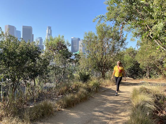
Find the hidden trailhead and small dirt turnout for parking 2.2 miles from the beginning of Glendora Mountain Road, just as the road curves sharply right. The narrow path provides an immediate challenge, as it climbs close to 200 feet in the first 0.1 mile, followed by a short break on asphalt. Stay left as you continue your ascent, passing under a grand oak that offers a rare respite of shade on a hike that is almost entirely exposed to the sun.
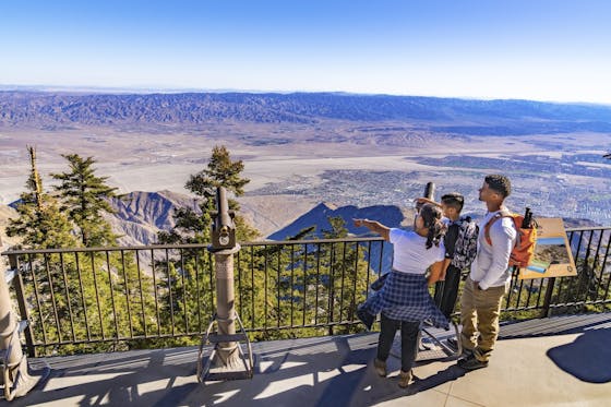
Though the grade lessens from here, the remaining mile to the summit climbs roughly 1,000 feet. The terrain also gets tricky—your technical hiking skills will get tested on both the up and down—but donut give up! Keep climbing, enjoying the welcoming short stretches of flat trail and the incredible views behind you. The epic vistas are consistently glorious, with panoramas of Glendora and never-ending suburbia to the east, framed by the Chino Hills and peaks of the distant Cleveland National Forest.
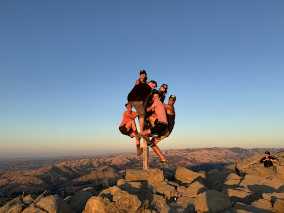
At the 1.1-mile mark you reach the summit, marked by concrete remnants and 360-degree views that include the distinguished peaks of the San Gabriels in every direction but south. You could continue hiking on Glendora Ridge Road. But suddenly those magic words come to mind….
TREAT: After carefully descending (it may be more intimidating than the way up), head to the legendary 24-hour Donut Man. Founded in 1972 by Jim Nakano, the beloved local joint is known for mouth-watering seasonal fresh-fruit stuffed donuts (e.g., fresh strawberry or peach). Also snag a Tiger Tail, a grrreat glazed and chocolate twist, and a few irresistible classics (we like the maple bar). In season pumpkin cream donuts are on the menu too (November 2022)!
From the I-210, take Exit 42 for Grand Ave. toward Glendora. Go north toward the mountains for a mile. Turn right on W. Historic Rte. 66 for 1.5 miles, pass by Donut Man (don’t worry; you’ll be back!), and turn left on Loraine Ave. Turn right on Foothill Blvd., followed by a left on N. Valley Center Ave. Turn left on Sierra Madre Ave., followed by an immediate right onto Glendora Mountain Rd. Follow this road up the mountain for 2.2 miles to the trailhead.


