Your Mission Is Less Crowded

Do a less traveled route to Mission Peak in the Bay Area

A group of people clamored around the summit marker at Mission Peak in the Bay Area

Mission Peak is one of the Bay Area’s most popular mountains, with many hikers climbing every weekend. Skip the crowds with this 6-mile loop up the less-traveled southern route.
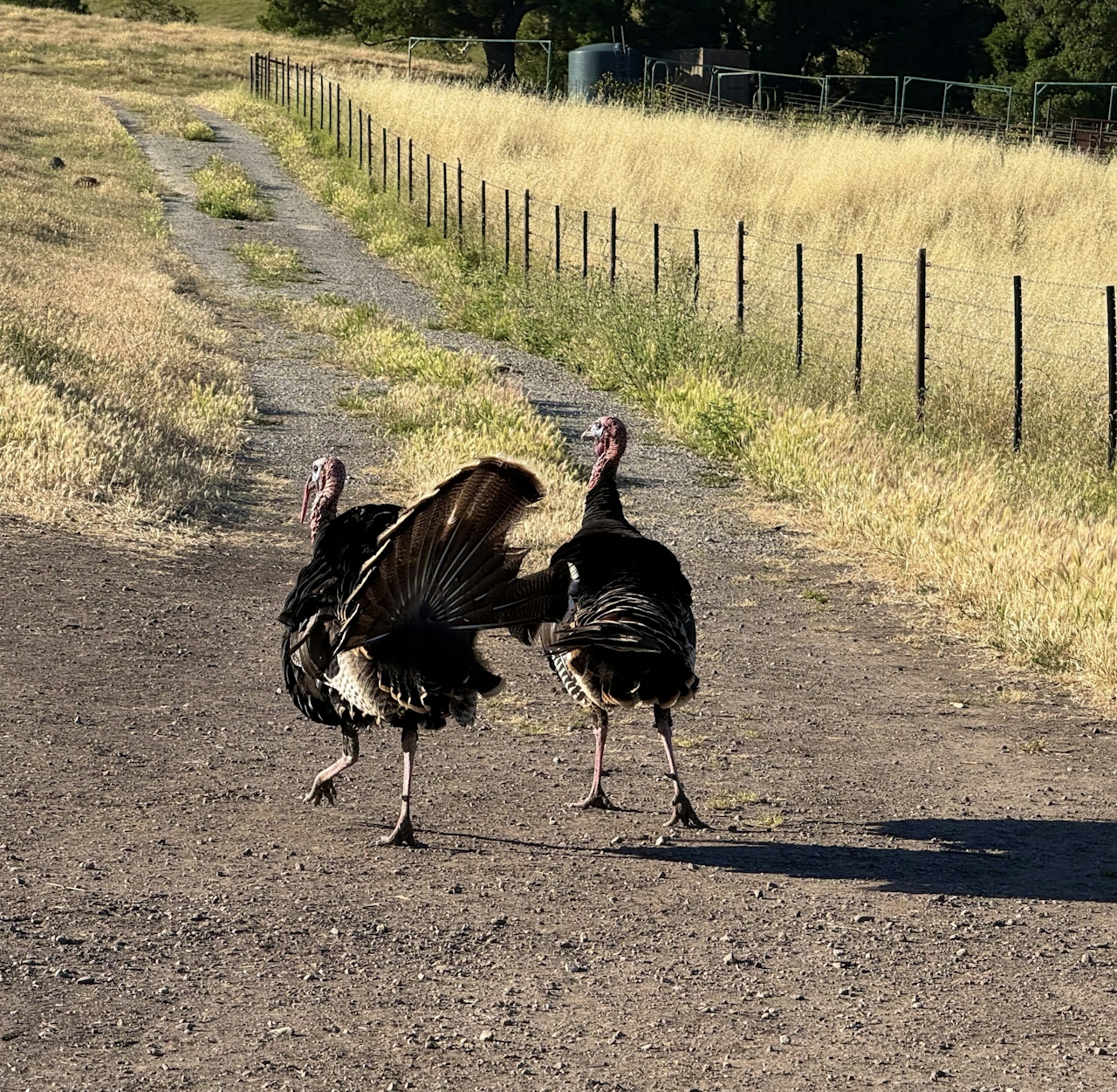
Wild turkeys heading up a trail in the Mission Peak region of the Bay Area

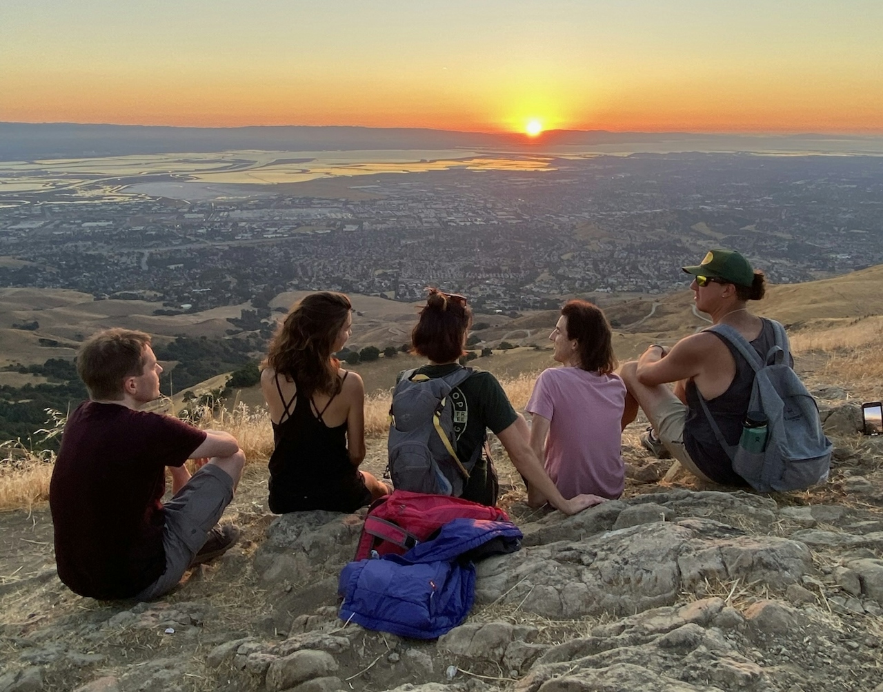
A group of friends sitting down and hanging out at the summit of Mission Peak in the Bay Area

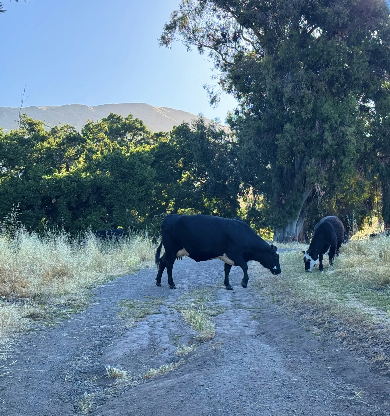
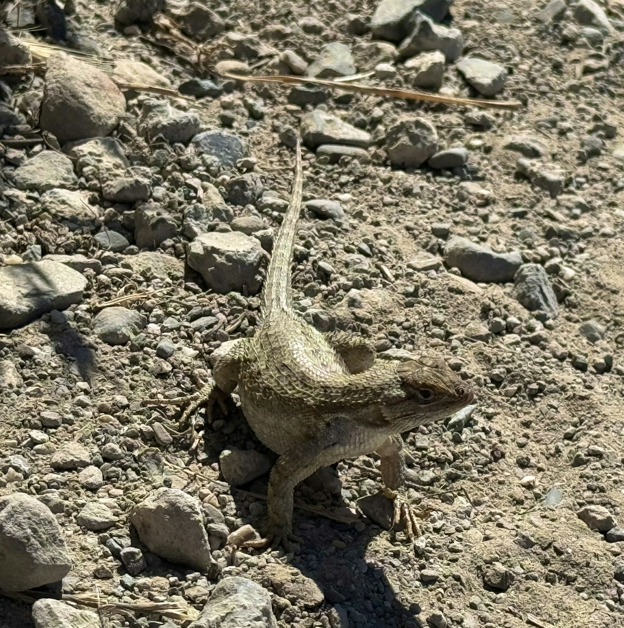
From the Stanford Avenue parking lot, head up Hidden Valley Trail, then bear right at the intersection with Peak Meadow Trail. With so few hikers on this stretch, it’s a great spot for animal sightings like wild turkeys, coyotes, and gopher snakes.
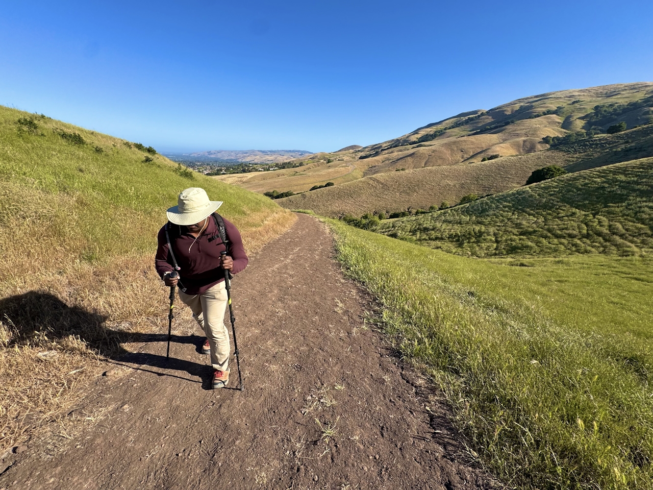
A woman hiking up the trail to reach Mission Peak in the San Francisco Bay Area

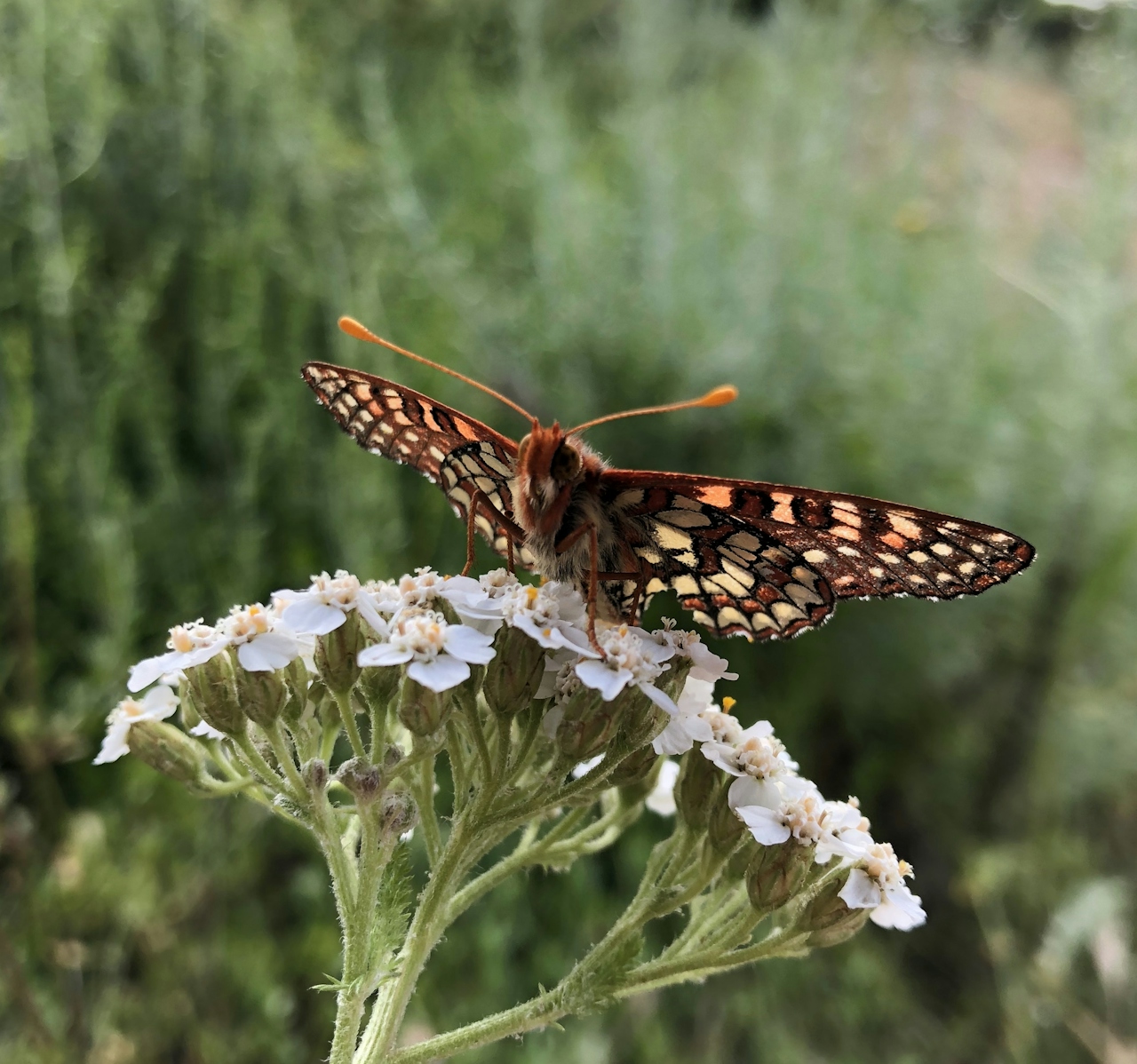
Continue uphill to the intersection with Horse Heaven Trail, then keep right to begin the steepest section of the climb. As you gain altitude, enjoy seasonal flowers like poppies, vetch, and morning glories. The lack of foot traffic makes this a great spot for butterfly viewing, with colorful species like checkerspots, painted ladies, and swallowtails fluttering among the blossoms.
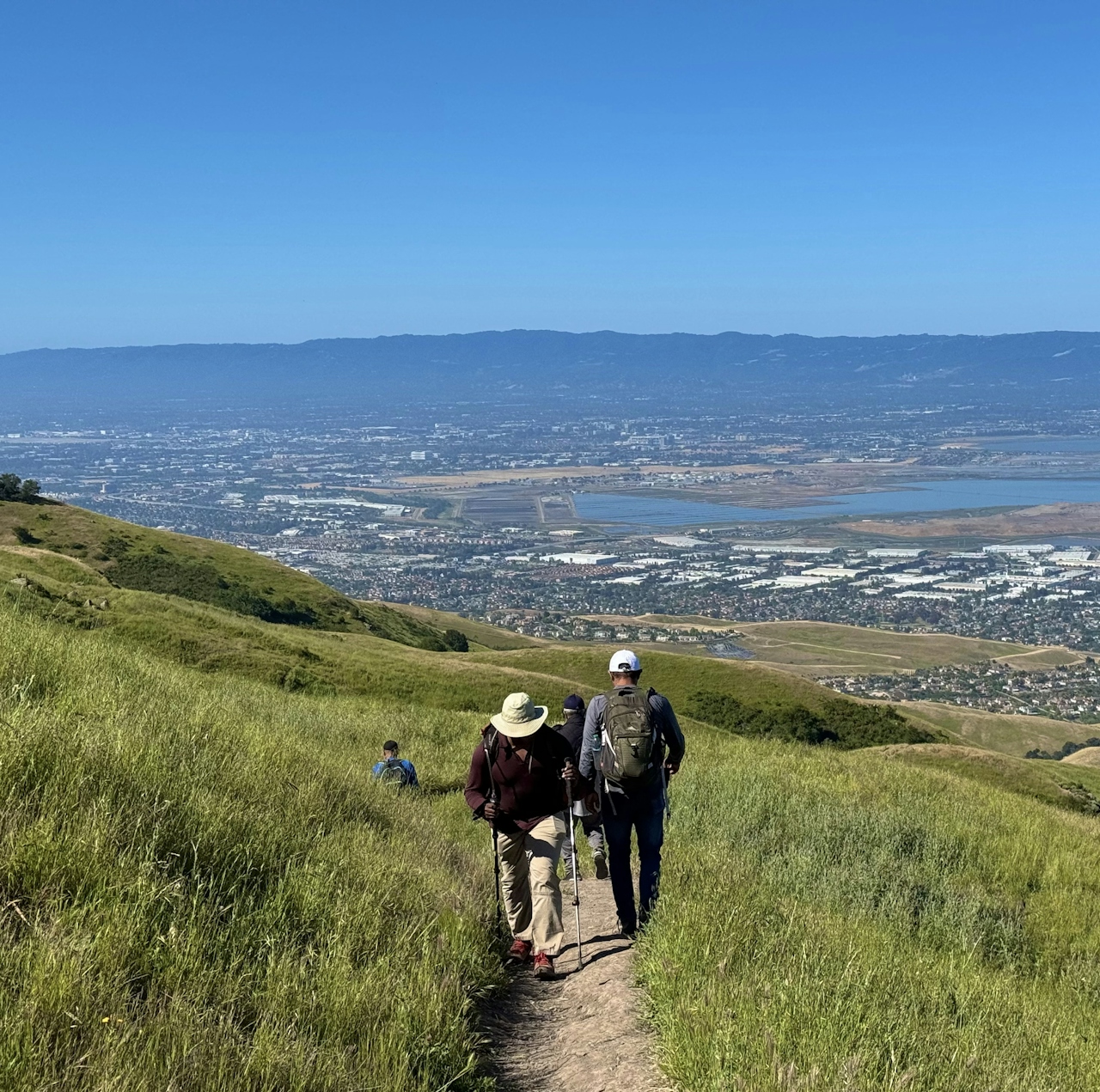
Hikers going up a trail to reach Mission Peak in the Bay Area

Get Our Weekly Email

Find inspiration and ideas for outdoor adventures and travel in California and the West.

At the intersection with Grove Trail, continue straight onto Peak Trail, the final uphill stretch to the rocky summit. Head to the famous summit pole and snap your selfie, then enjoy the beautiful view of Silicon Valley. From this vantage point, hikers can clearly see the Four Corners of the Bay Area: Mount Diablo, Mount Tamalpais, Mount Umunhum, and Mount Hamilton.

To return to the parking lot, continue along Peak Trail, then turn left onto Hidden Valley Trail. This wide dirt road is the main route up Mission Peak, and is the easiest way to descend all the way back to the parking lot.

TIP: Check the forecast and temperatures before embarking on this hike in summer and fall as it's a longer hike with exposure. Plan accordingly.

The Stanford Ave. parking lot is located at 680 Stanford Ave. in Fremont. Map. The parking lot is open from 6:30 a.m. to 9 p.m. Bicycles welcome, except for on the summit. Dog-friendly!

Photo and stories by Heather Werner, @heath.er.wer.ner
Trending Stories NorCal

View all Stories
  1. Woman with her arms outstretched to the rolling hills scenery while on a rock outcrop at Barnabe Peak in Samuel P Taylor Sate Park in Marin

    Barnabe Bonanza

    Sure, there are higher mountains in Marin (Mount Tam) and easier ascents (Mount Burdell), but is there a more expansive North Bay view? Barnabe Peak in Samuel P. Taylor State Park offers a glorious panorama including Mount Tam, Mount Diablo, and Mount St. Helena.

    View
  2. Tamtastic Sunset

    Sure, the East Peak of Mount Tam is absolutely spectacular at sunset, but some magic-hour enthusiasts head to a nearby spot, Trojan Point, for a little more personal space in their panoramic viewings.

    View
  3. Hiker on the SCA trail in Marin Headlands with view of the Golden Gate Bridge

    Headlands Over Heels

    People come from all over the world to get a glimpse of the Golden Gate Bridge. Get a dramatic and novel view of the bridge without all the people on this moderate 6-mile hike in the Marin Headlands.

    View

Trending Stories SoCal

View all Stories
  1. Woman hiking the San Onofre Bluffs Loop Trail to San Onofre State Beach in San Diego County

    Bluffing Good!

    Lovely coastline, beautiful beaches, unique geological history, and picturesque sandstone cliffs with limited foot traffic in San Diego County? Head to San Onofre State Beach and the 5-mile San Onofre Bluffs Loop Trail.

    View
  2. Can We Get a Whoop Whoop!

    City, mountain, and ocean views all in one hike? Whoop whoop! It’s no surprise the the Kenter Fire Road and Whoop-de-Doos Trail (a combo of fire road and singletrack) is a favorite among local mountain bikers and hikers alike.

    View
  3. The Big Chill

    In LA, finding a place to chill can be the ultimate flex. So flex, in Franklin Canyon! This unexpected oasis has plenty of shade, cool lake breezes, and ample picnicking spots. Enjoy it on an easy-going 1-mile stroll along its reservoir and duck pond.

    View