San Diego's Rio Camino
A Walk Along the San Diego River Through Mission Valley


America’s finest city—and America’s finest hikers—have a mighty fine river to be proud of! The 52-mile San Diego River serves the city by supplying its reservoirs, and its hikers, through a developing network of trails. As the San Diego River Park Foundation works toward completing the continuous multiuse trail, you can walk, bike, or jog along an accessible and charming 2.5-mile stretch through the urbanity of Mission Valley.
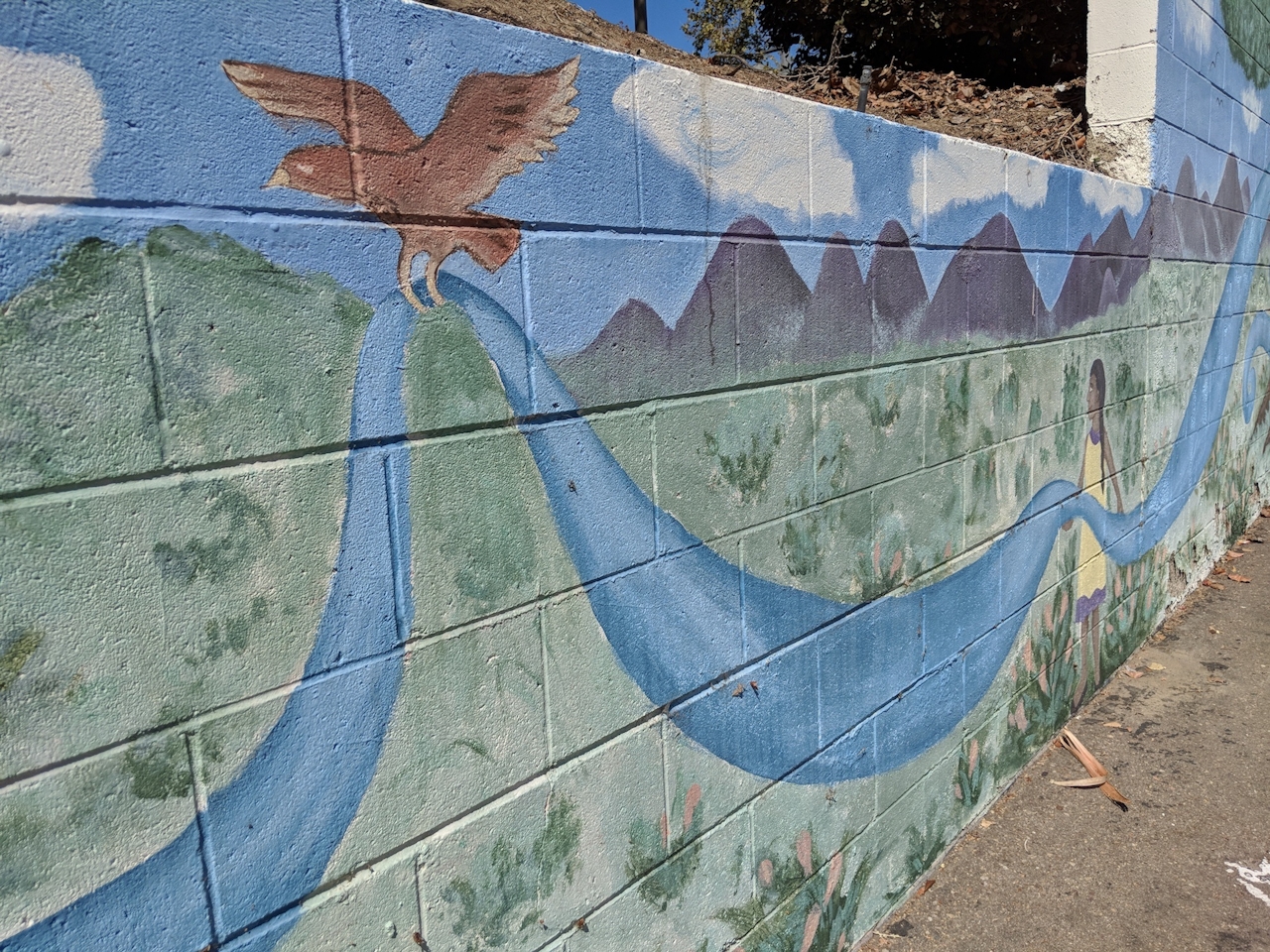
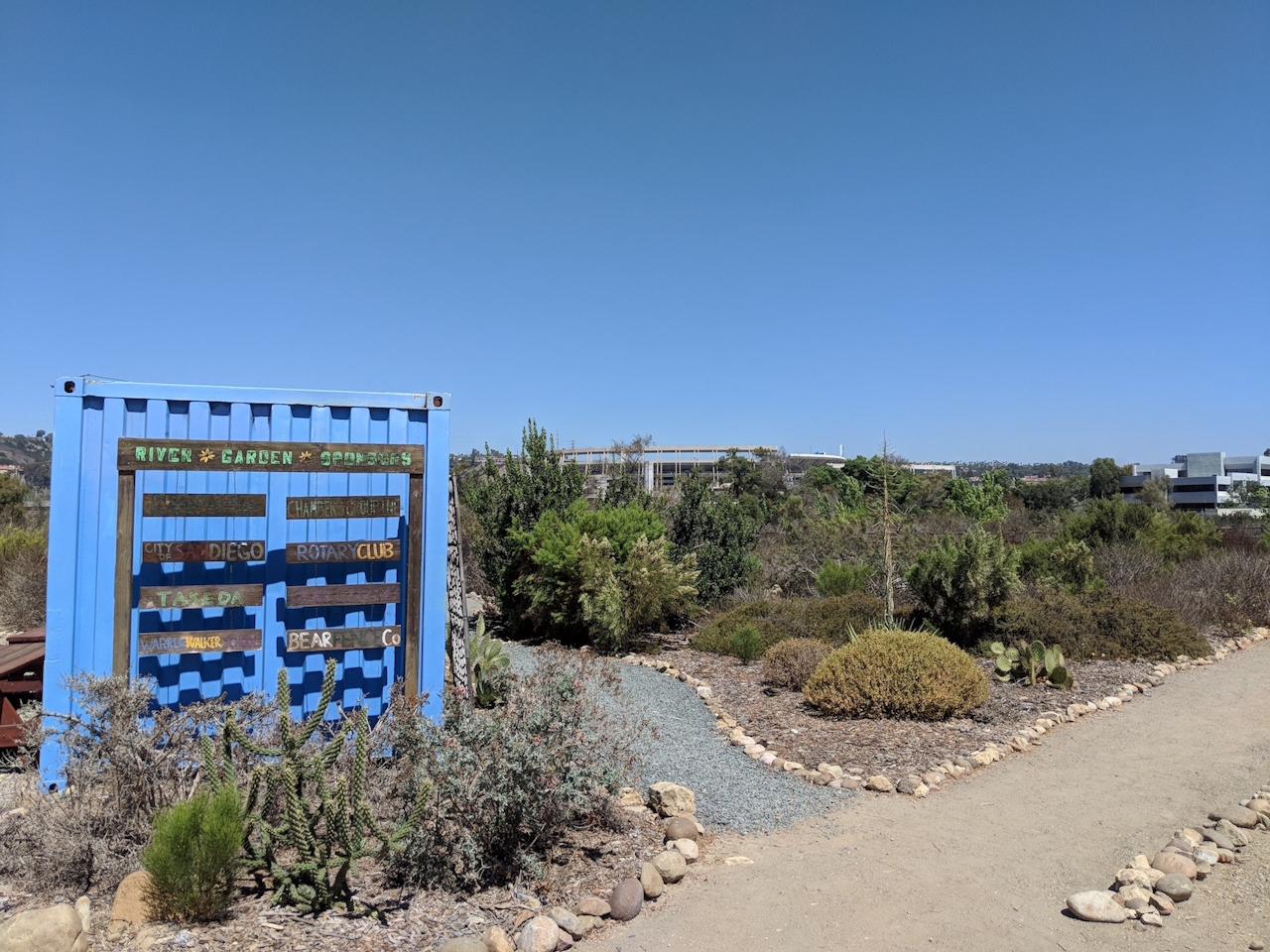
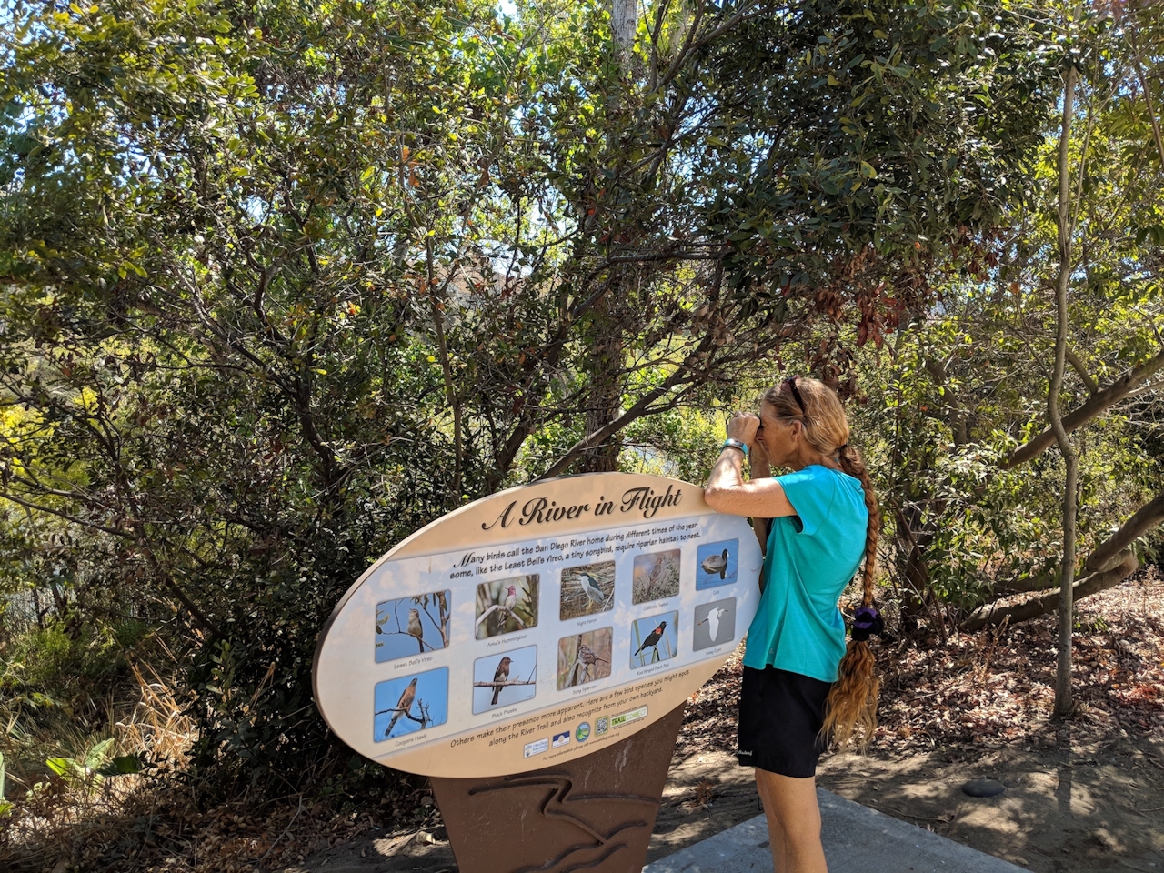
Start your journey at the Hazard Center Trolley Station (parking along the street), crossing the intersection, and heading east past a river mural to the marked trailhead at the end of the lot. The path is paved and shaded by trees as you overlook the lush river vegetation to your right. Keep an eye on the river for waterfowl such as coots, herons, egrets, and ducks, but also search the bordering chaparral for red-winged blackbirds and towhees. At just over half a mile, you will have to cross the street to continue the trail, but take time to check out the bridge views over the flowing river. At just over the 1-mile mark, you will reach Qualcomm Way. Turn right and cross the river to connect with the loop trail heading west. If you’d like to extend your trip, continue east here along Camino Del Rio for 1.25 miles (2.5 miles round-trip) to reach the San Diego River Garden, a small community-run effort with native flora and views of Qualcomm Stadium.

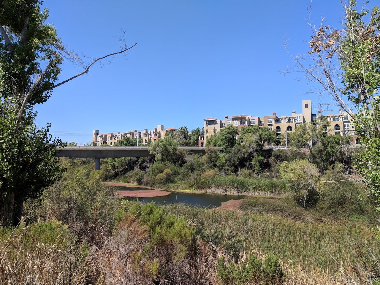
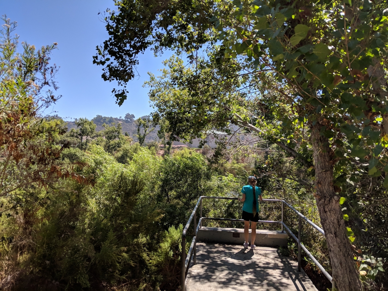
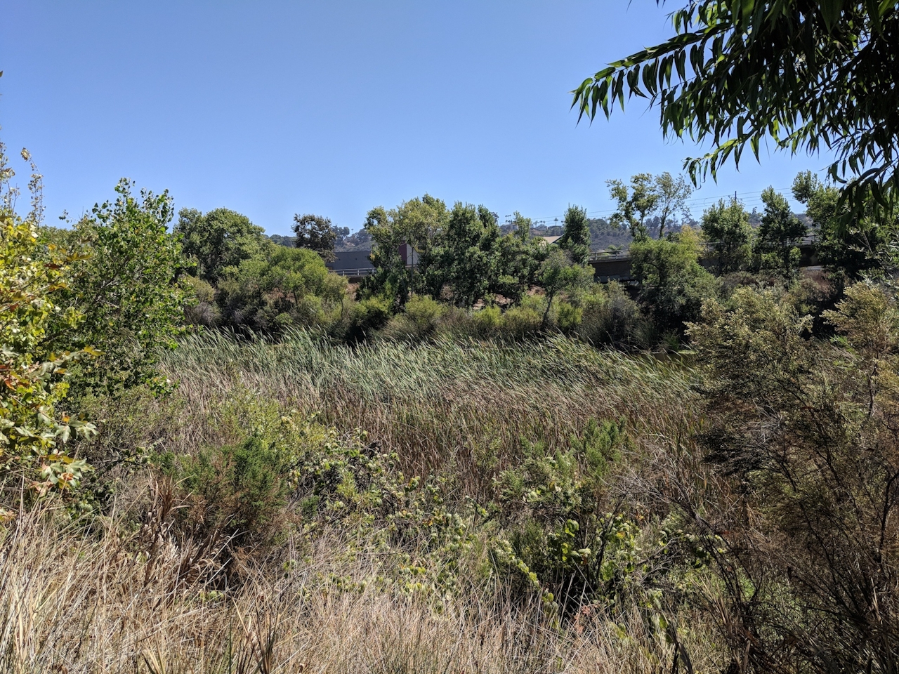
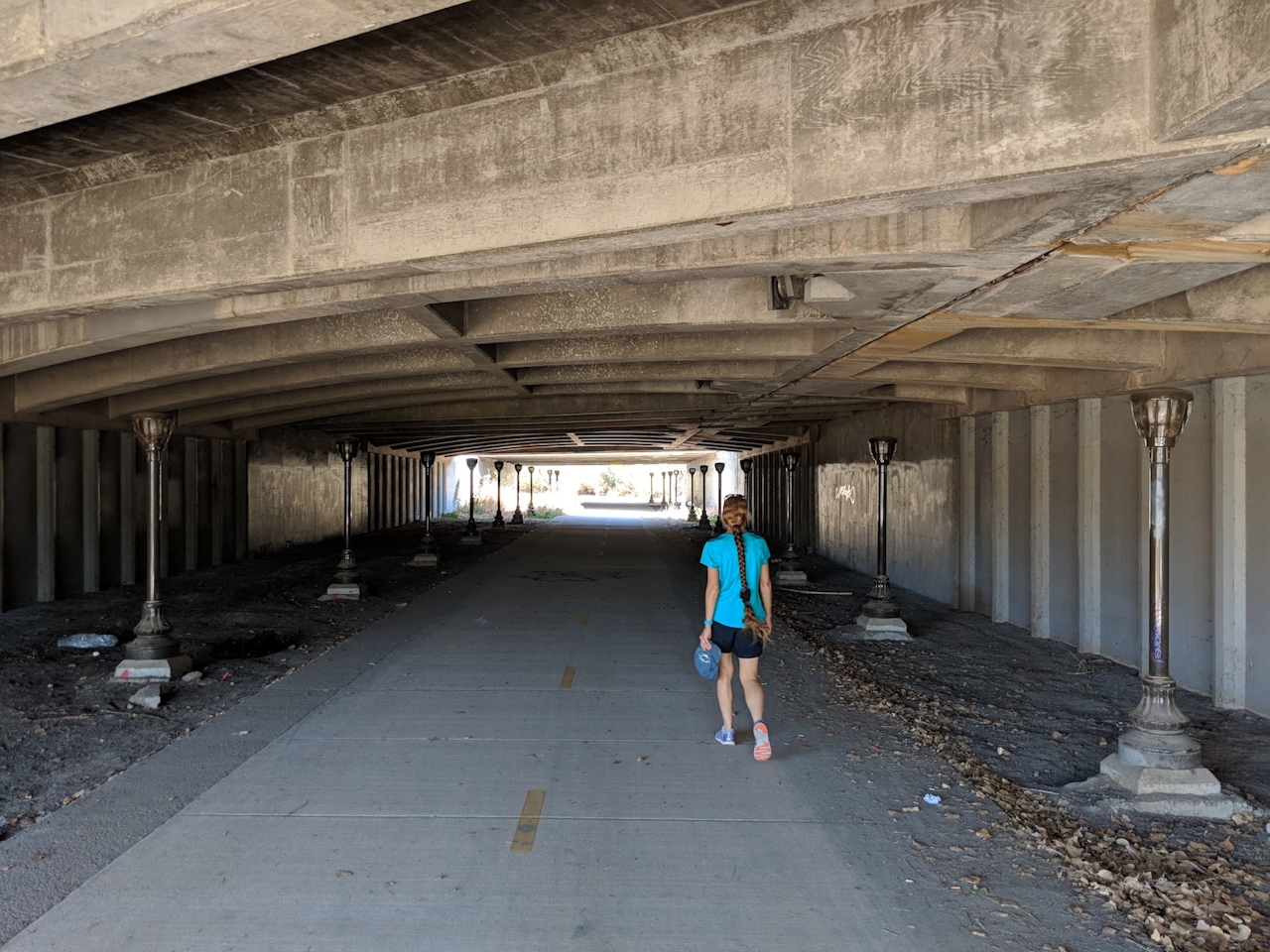
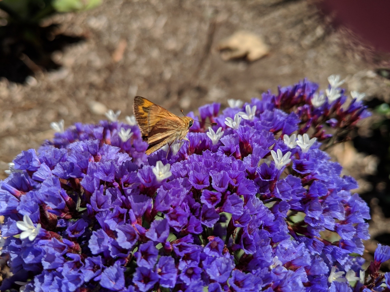
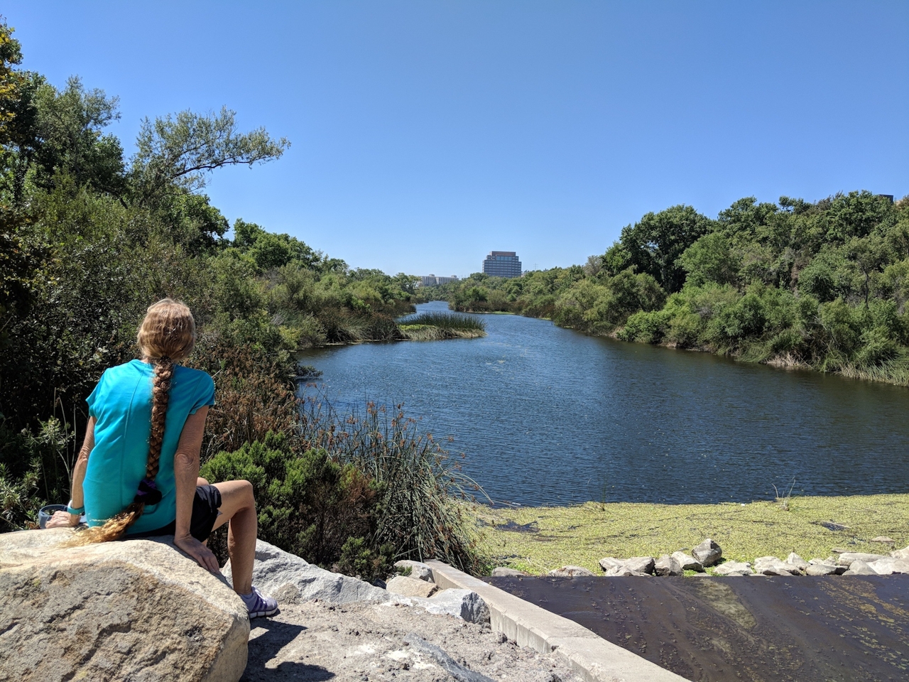
As you continue west along the paved path, you will marvel at the natural serenity that surrounds you despite nearby condos, strip malls, and trolley tracks. If you are with Fido, check out the local dog park along the way for some off-leash fun. Soon you will reach more mall-rat heaven at Fashion Valley Road; cross the river here and continue the loop back east. You will then pass the contrast of a cute garden of bright bougainvillea and a low-hanging overpass with an eerie grouping of streetlights lining the suddenly dark path. This is the final stretch as you return to the intersection of Mission Center Road, where you will find the trolley station and your nearby car.
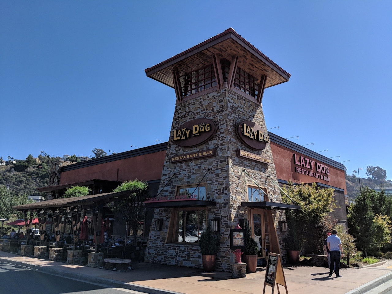
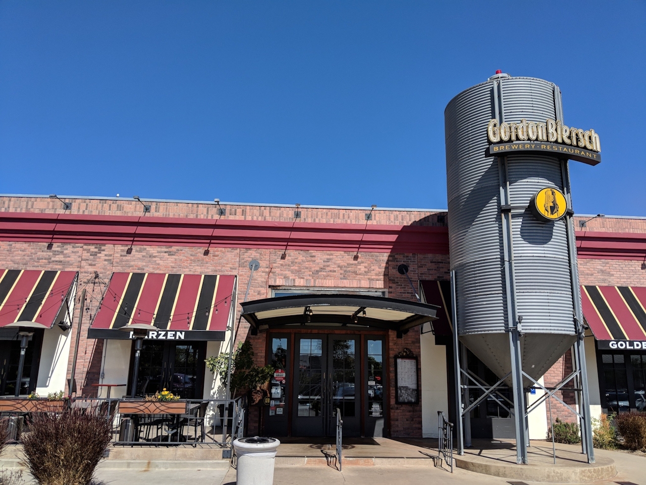
BONUS BEVERAGE: Before leaving, consider taking advantage of the surrounding commercialism for a bite or a drink. Across the street are both Gordon Biersch Brewery and Lazy Dog Restaurant, the former being a classic German beer chain and the latter being a Fido-friendly eatery.
To get to the Hazard Center station and trailhead, take the CA-163 and exit for Friars Rd., staying right around the loop as it heads east. After 0.3 mile, turn right onto Frazee Rd., followed by an immediate right onto Hazard Center Dr., and find street parking.







