Fly Like an Eagle Rock

A Workout Hike on Eagle Rock Canyon Trail

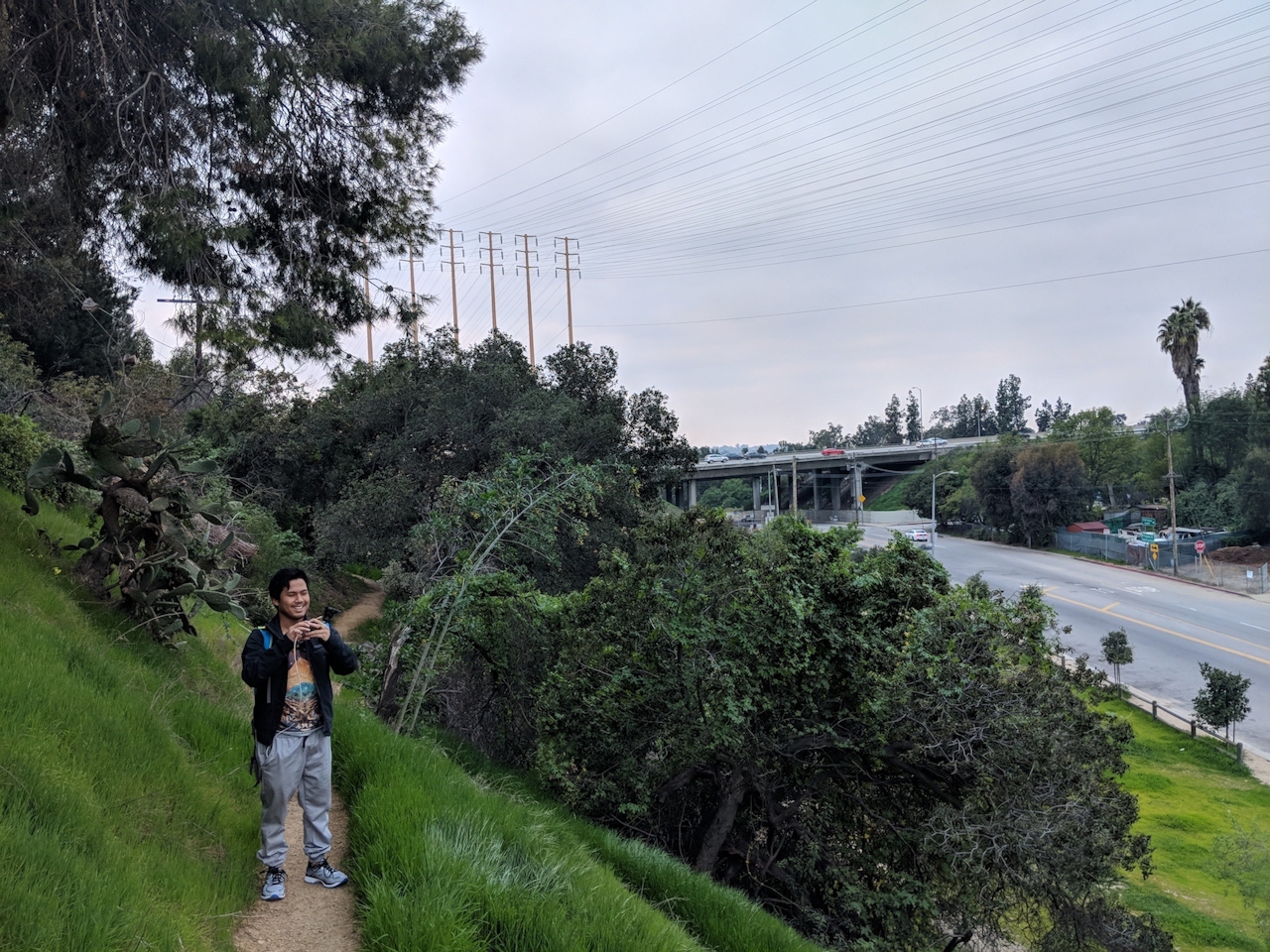
Why sit in LA traffic after work when you can fly like an eagle? Or at least pretend to, as you hover over the red lights of the 134’s stop-and-go after a wonderful workout in Eagle Rock.

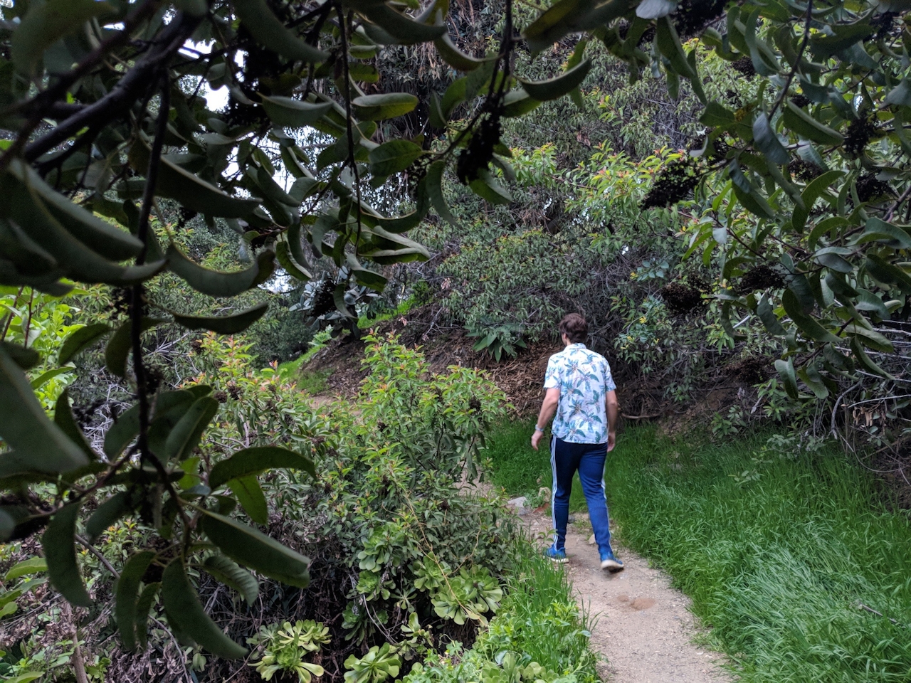
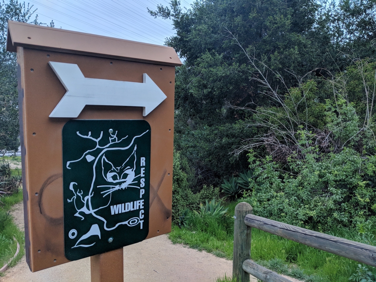
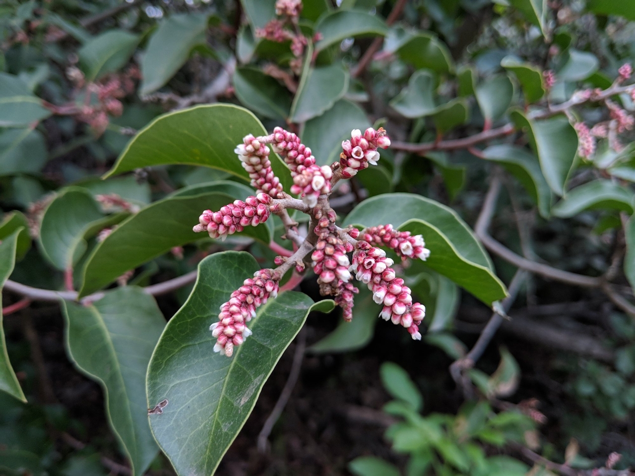
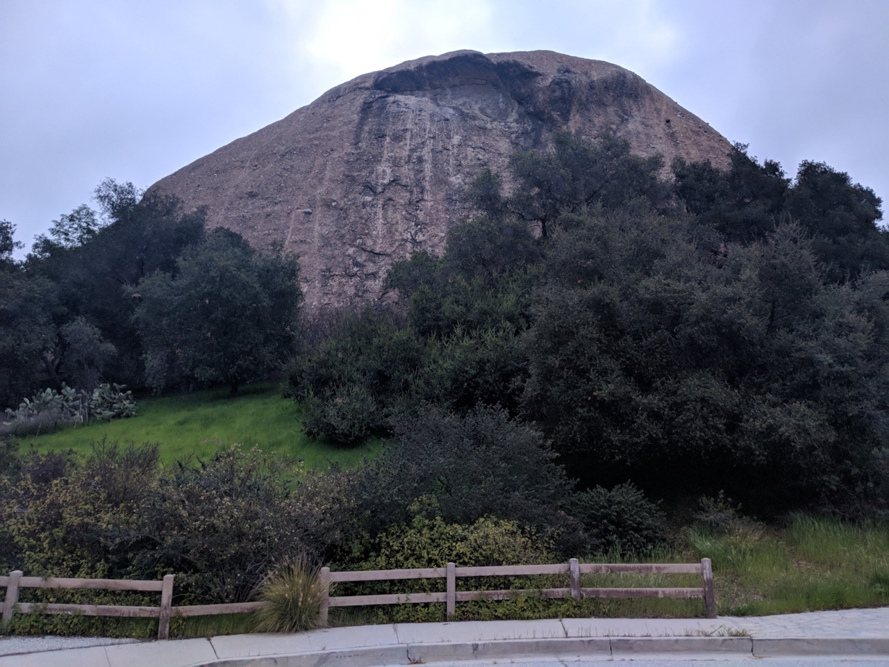
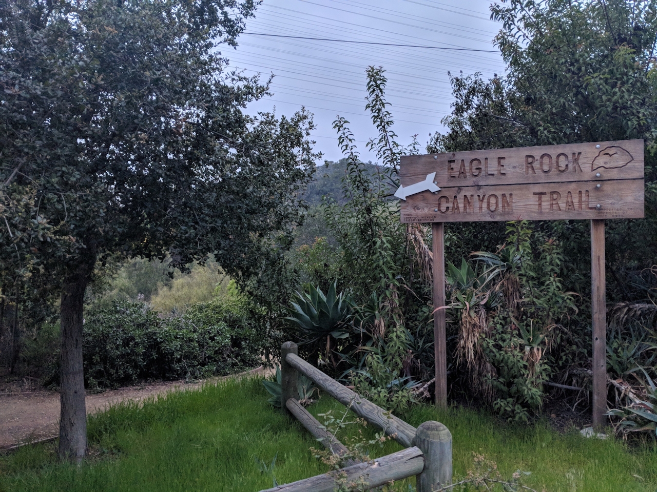
Your hike begins right under the hipster haven’s dome-shaped namesake—a giant rock outcropping that has a ridge resembling the majestic bird. Follow signs for the Eagle Rock Canyon Trail to begin your quick 1-mile workout. The narrow path begins with a sharp right behind the Respect Wildlife sign, delving deeply into dense chaparral, a fragrant mix of laurel sumac, sugarbush, and oak.

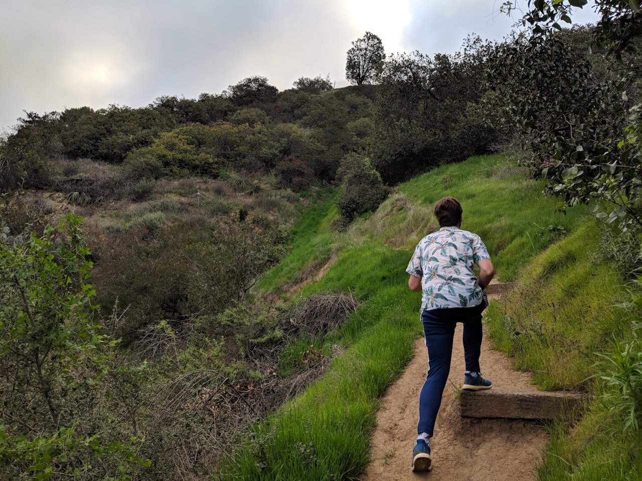
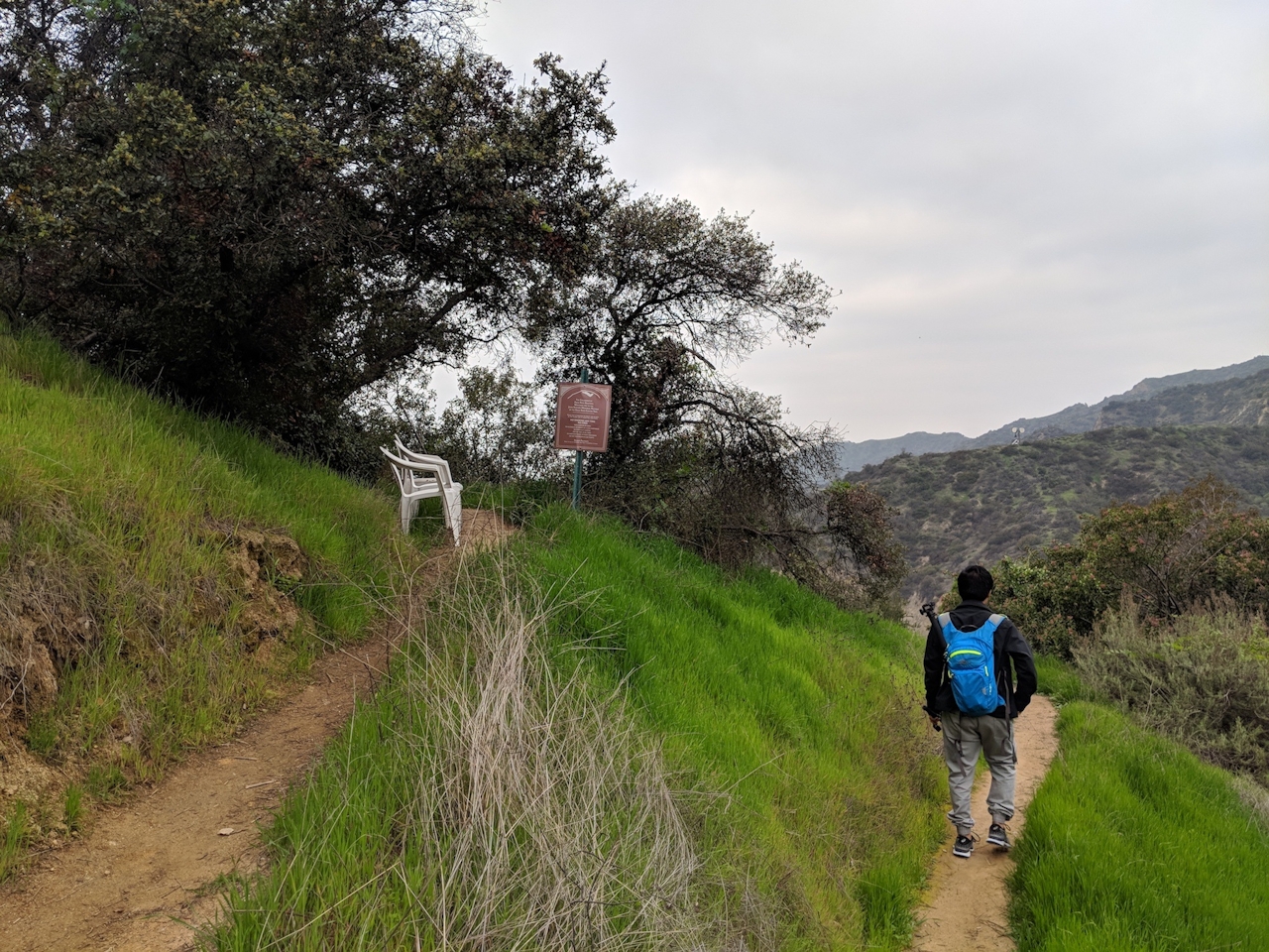
After a short distance, you encounter a Y-junction, where you should take the quicker right path—not because you want to get back to the grind of rush hour, but to give yourself a steeper challenge. You’ll climb quickly and soon reach the vertical finale, where the skyscrapers of downtown, the hills of Hollywood, and Eagle Rock (the formation and the town) come into sight.

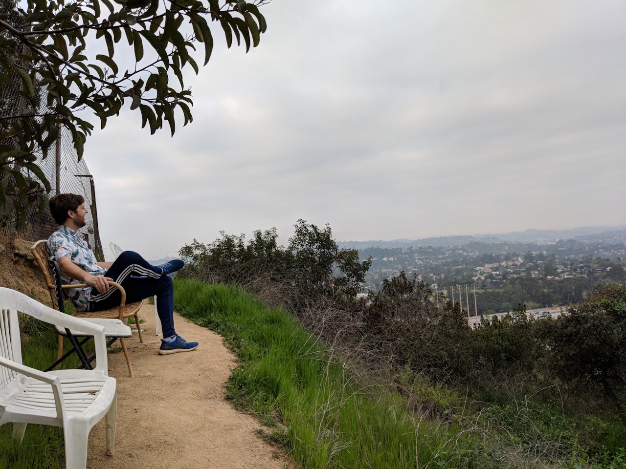
Need a rest? Residents have left a charming hodgepodge of plastic chairs for your convenience. Then, for additional views, continue past the chairs on the narrow path along the fence. Want more mileage? When you turn around, take the alternate path down—it’s a bit longer and gentler on the knees—and keep looping while the traffic far below disperses. Whether you do 1, 2, or 5 miles, enjoyed a sunrise or savored a sunset, it’s great to know that this accessible workout is always waiting for you to come and spread your wings.

Take CA-134 to the San Rafael Ave. exit. Head south on San Rafael and turn right onto Colorado Blvd. After 0.7 mile, turn right onto Patrician Way, followed by a left on Eagle Rock View Dr.

Trending Stories NorCal

View all Stories
  1. Woman with her arms outstretched to the rolling hills scenery while on a rock outcrop at Barnabe Peak in Samuel P Taylor Sate Park in Marin

    Barnabe Bonanza

    Sure, there are higher mountains in Marin (Mount Tam) and easier ascents (Mount Burdell), but is there a more expansive North Bay view? Barnabe Peak in Samuel P. Taylor State Park offers a glorious panorama including Mount Tam, Mount Diablo, and Mount St. Helena.

    View
  2. Hiker on the SCA trail in Marin Headlands with view of the Golden Gate Bridge

    Headlands Over Heels

    People come from all over the world to get a glimpse of the Golden Gate Bridge. Get a dramatic and novel view of the bridge without all the people on this moderate 6-mile hike in the Marin Headlands.

    View
  3. Barbary Coast Trail medallion hike in San Francisco

    Medallion Walk SF

    The Barbary Coast Trail is a 3.8-mile historical walk and treasure hunt through San Francisco. Be on the lookout for hubcap-sized bronze medallions placed on the city sidewalks with arrows pointing you in the right direction.

    View

Trending Stories SoCal

View all Stories
  1. Woman hiking the San Onofre Bluffs Loop Trail to San Onofre State Beach in San Diego County

    Bluffing Good!

    Lovely coastline, beautiful beaches, unique geological history, and picturesque sandstone cliffs with limited foot traffic in San Diego County? Head to San Onofre State Beach and the 5-mile San Onofre Bluffs Loop Trail.

    View
  2. Can We Get a Whoop Whoop!

    City, mountain, and ocean views all in one hike? Whoop whoop! It’s no surprise the the Kenter Fire Road and Whoop-de-Doos Trail (a combo of fire road and singletrack) is a favorite among local mountain bikers and hikers alike.

    View
  3. The Big Chill

    In LA, finding a place to chill can be the ultimate flex. So flex, in Franklin Canyon! This unexpected oasis has plenty of shade, cool lake breezes, and ample picnicking spots. Enjoy it on an easy-going 1-mile stroll along its reservoir and duck pond.

    View