Big, Beautiful Beaudry
Beaudry Motorway Loop Hike in Verdugo Mountains Los Angeles


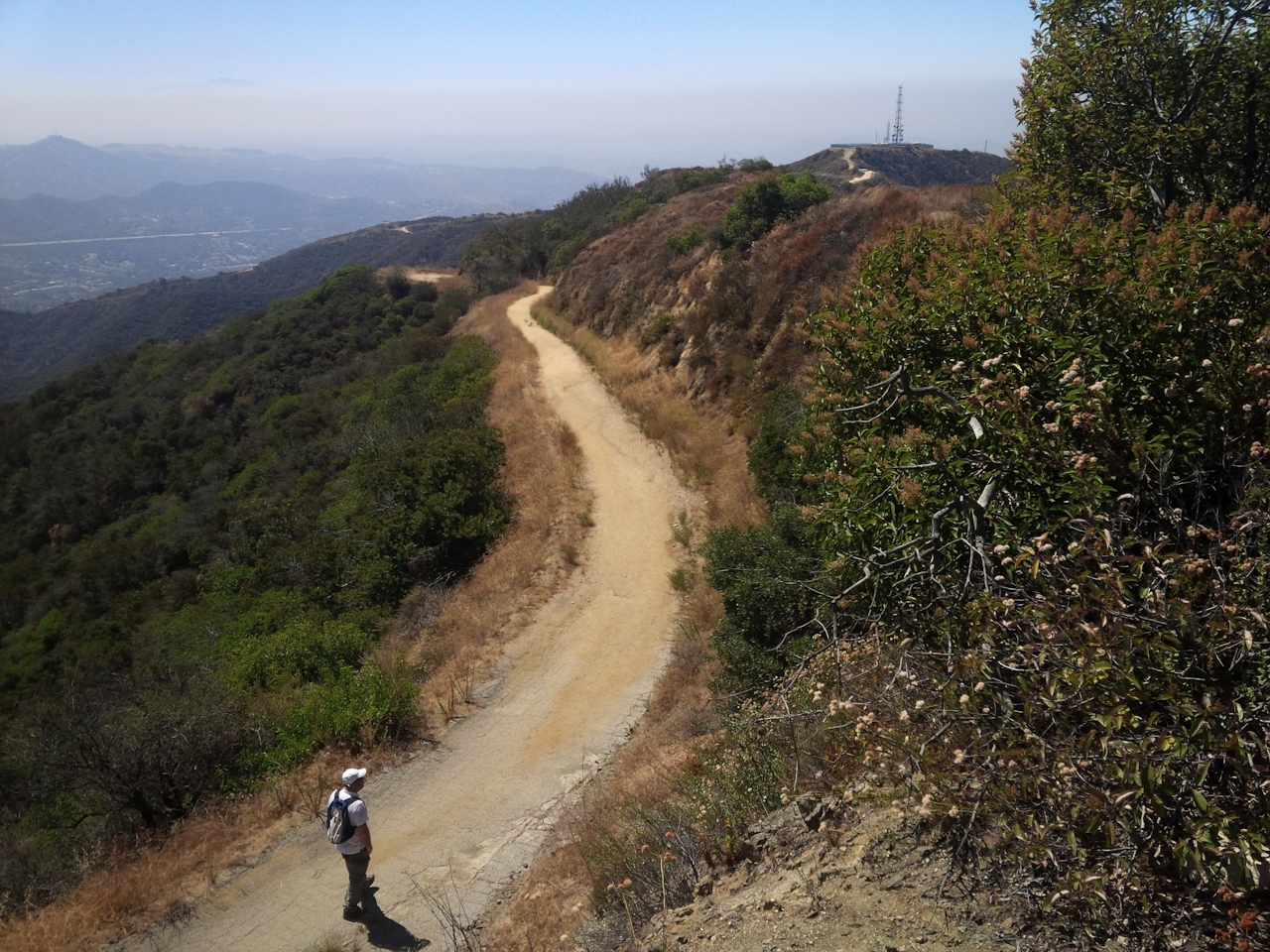
You won’t hear the croaky voice of Jed the Fish when you reach the KROQ radio tower at the top of this peak, but you might yodel at the top of your lungs for the glorious views you’ll gain. The sweat-inducing 6-mile Beaudry Motorway Loop Trail climbs over 1,350 feet to the main ridge of the southern Verdugo Mountains. The trail starts from the foothill-encroaching cul-de-sacs of Oakmont in Glendale, on a dirt service road that dives into a shady canyon before switchbacking up to a broad fork in the road where the north and south branches of Beaudry Motorway split. Take Beaudry North for a more gradual, snaking ascent to the ridgeline, with pockets of shade offering respite from an often hard-beating sun.
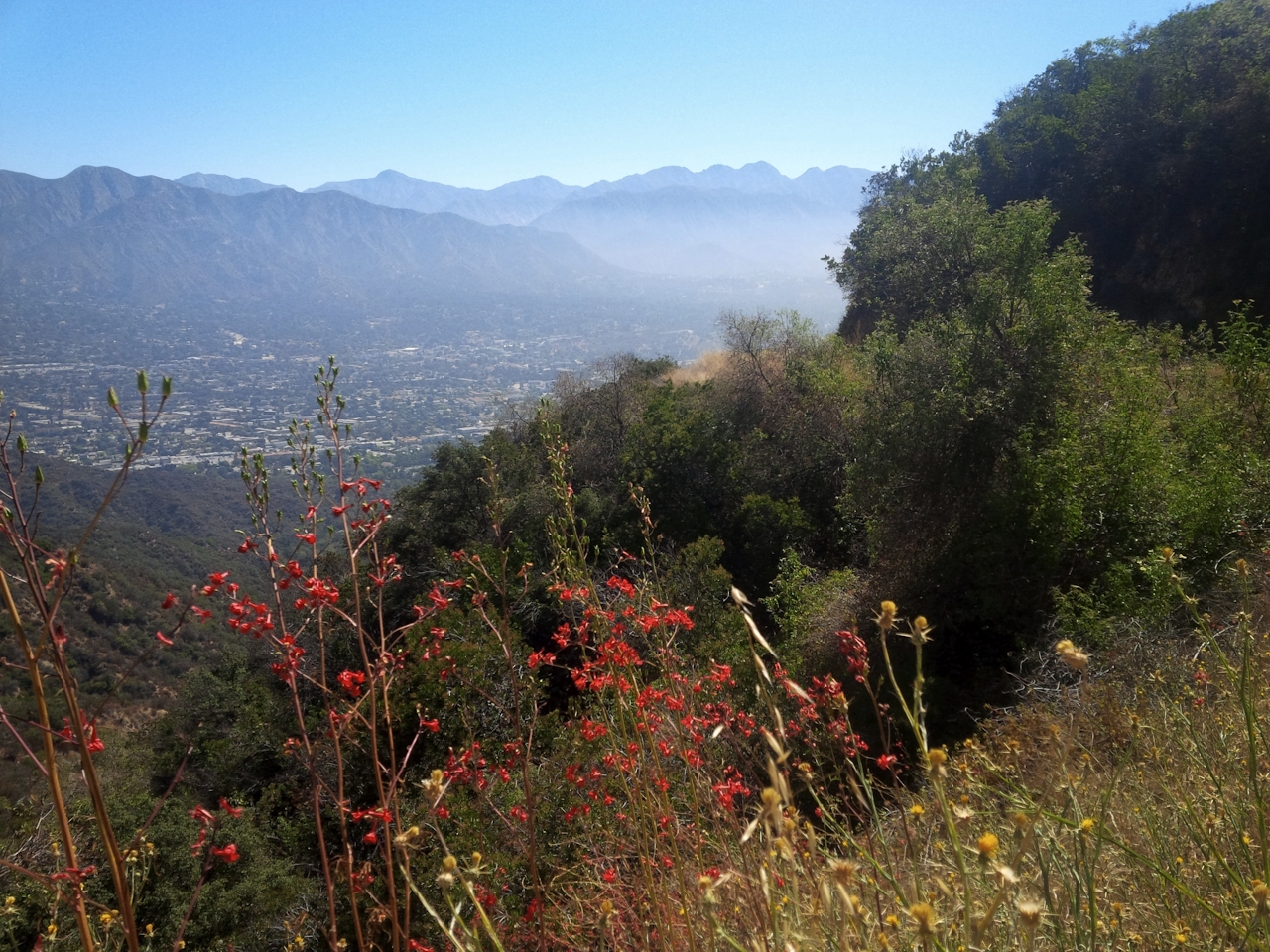
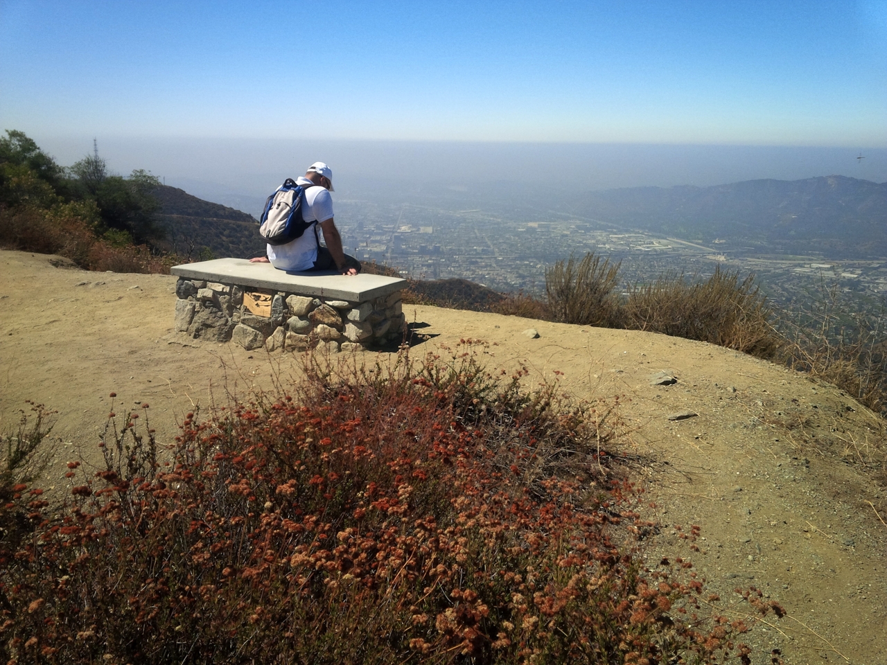
After two miles, there’s a prominent overlook with a single pine. A rusted old water tank on a cliff a stone’s throw further marks an even more spectacular vista. Here, a footpath diverges onto an undulating ridge, thrusting you out into a wraparound view of Crescenta Valley and the San Gabriel Mountains. Shortly, the road merges with Verdugo Motorway, and a sharp left takes you up to the KROQ radio tower, which for decades broadcast the one-of-a-kind voice of Jed the Fish. A narrow path along its rusted boundary fence reaches the 2,656-foot Tongva Peak. The San Fernando Valley sprawls dramatically below. From here, the motorway rolls gently southward along the ridge. After passing another radio station, the road splits into Las Flores Motorway and Beaudry South, which eventually descends back to the fork.
TIP: According to a posted sign, “Smokers will be fed to the bears.”
Go early (morning is best) for cooler temps and check the weather forecast to avoid hiking on an extremely hot day. From CA-2 in Glendale, exit onto Mountain St. and head west. Turn right onto N. Verdugo Rd., and then veer left onto Cañada Blvd. Make lefts onto Country Club Dr. and then Beaudry Blvd., where you'll find the gated entrance to Beaudry Motorway veering off to the left at the first major curve in the road. Street parking only.







