Tram Good Hiking!
Best Hikes from Palm Springs Aerial Tramway


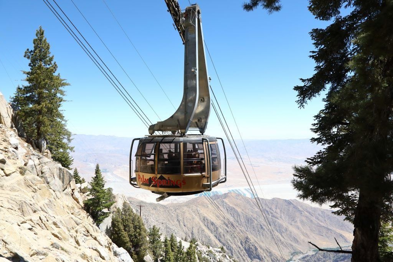
There’s one way to hit the hiking “high note” this summer: Take the scenic route—the Palm Springs Aerial Tramway! The world’s largest rotating tramcar whisks you from the desert floor to the alpine wilderness of Mount San Jacinto State Park in just 10 minutes. Talk about a hiker’s high!
Board the tram at the Valley Station (elevation 2,643 feet) and—on your way to the Mountain Station (elevation 8,516 feet)—your palms-to-pines “chariot” passes through five climate zones along the sheer cliffs of Chino Canyon, with thrilling views of Palm Springs and beyond. The heat of the desert floor is left in the dust, with temperatures dropping by 30 to 40 degrees and palm trees replaced by soaring Jeffrey pines.
Time to hike! Choose from over 50 miles of hiking trails, including one that leads to secluded backcountry camping (yep!). Day hikers can pack in the views on the aptly named Desert View Trail, a 1.5-mile loop with five scenic vantage points. Or opt for bragging rights on the 5.5-mile (one-way) trek to San Jacinto Peak, the second highest point in Southern California.
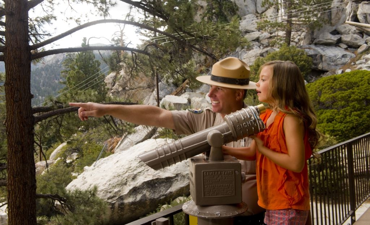
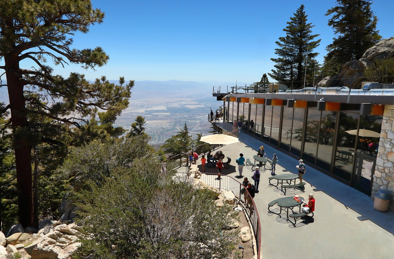
There are also free guided walks on summer weekends. Golden hour enthusiasts can scramble up boulders to watch the sun set across the Coachella Valley surrounded by its dramatic mountain ranges. Afterward, you’ll still have time to get a bite to eat or drink at Peaks Restaurant, Pines Café, or the Lookout Lounge, the top-of-the-tram restaurants that have you dining above it all.
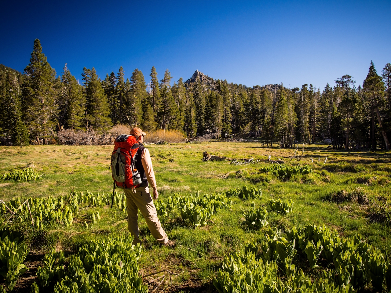
BONUS BACKCOUNTRY CAMPING: Take the Palm Springs Aerial Tramway to excellent backcountry camping. Choose from six campgrounds, including Round Valley Campground, a 2-mile hike from the Mountain Station, with 28 sites hidden in a meadow.