All the Ride Stuff
Biking the easygoing American River Parkway


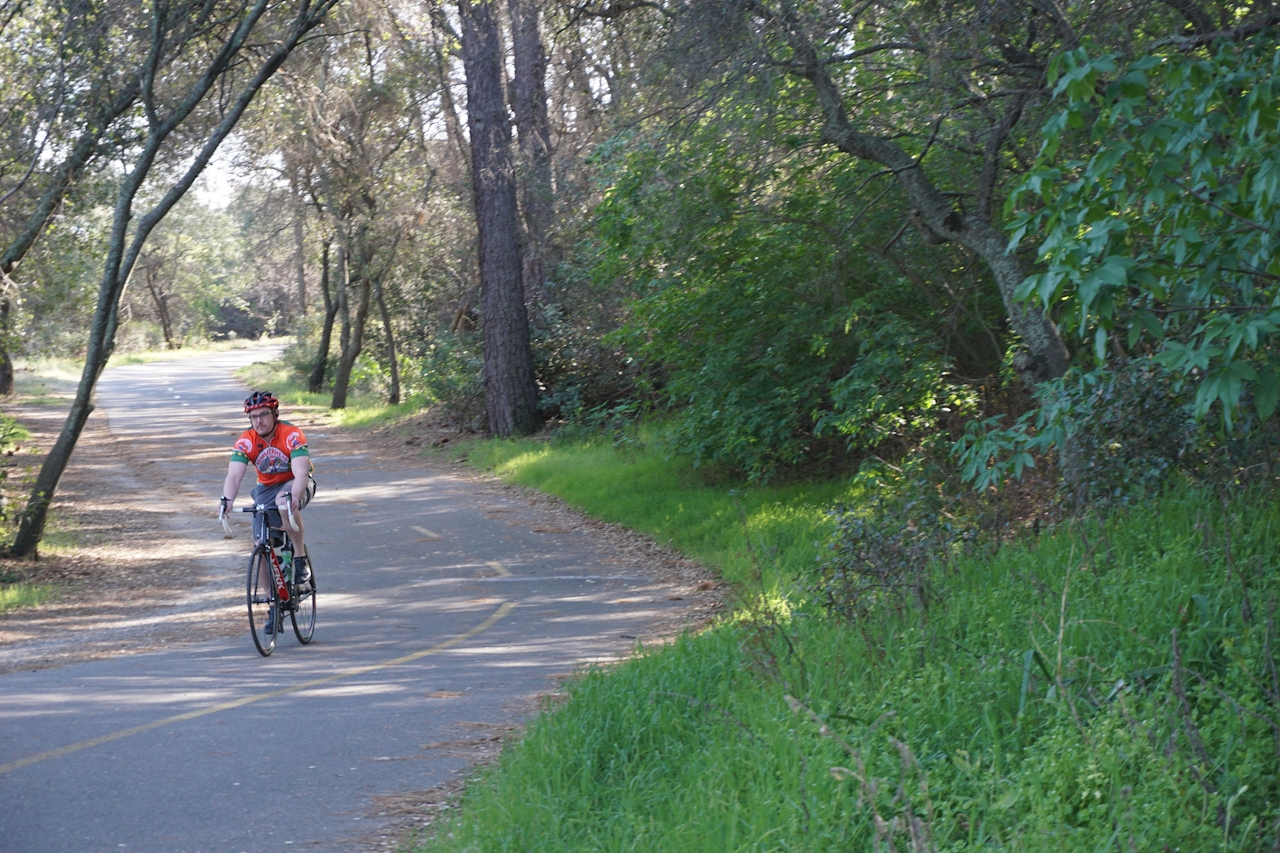
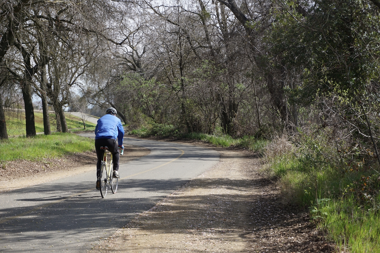
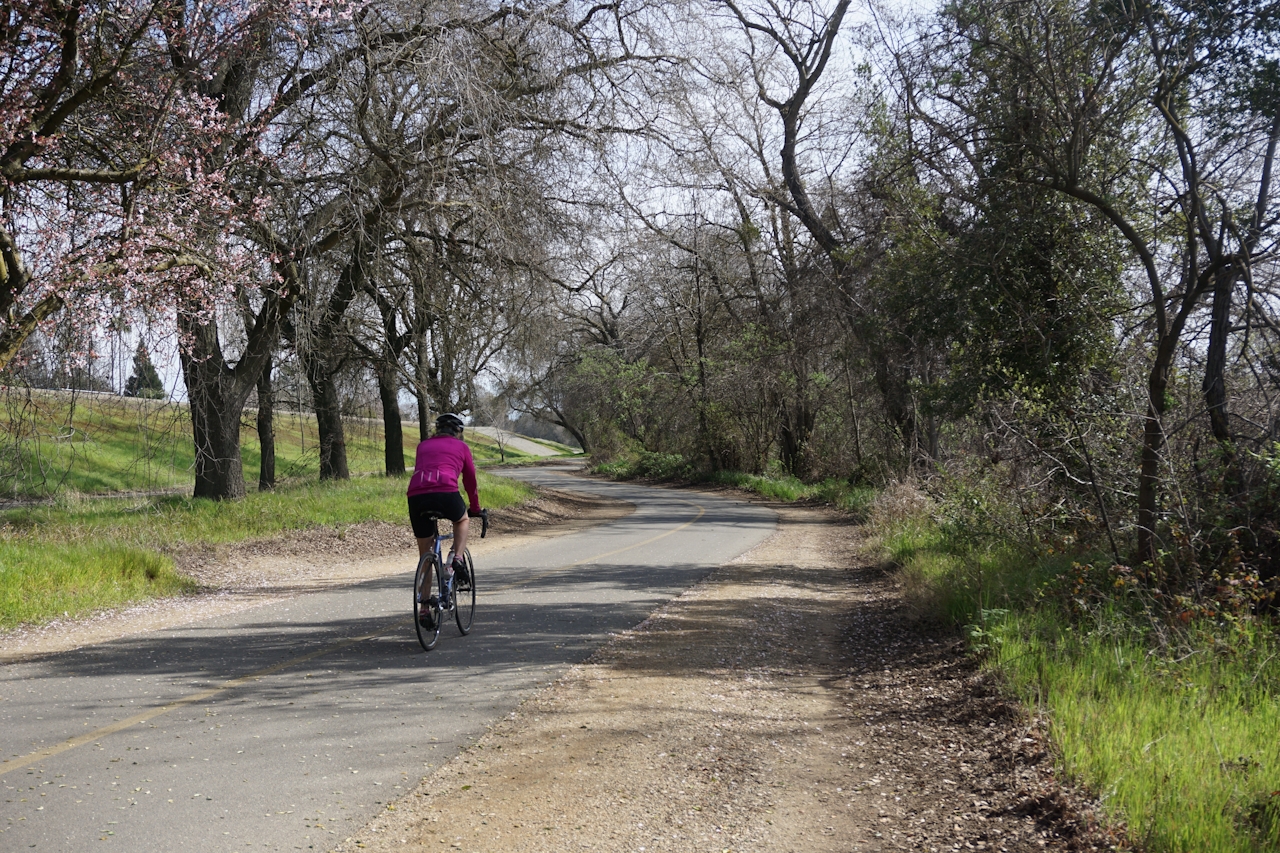
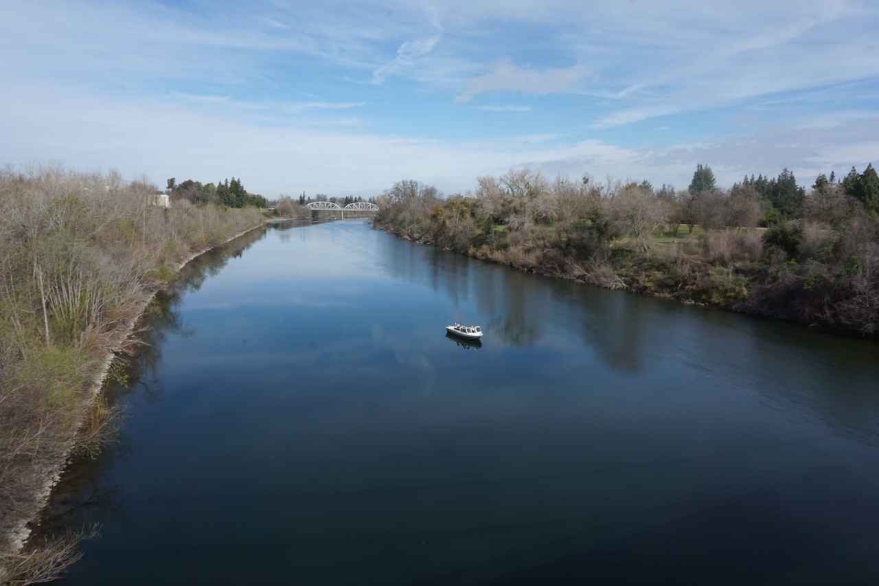
Car-free, paved, picnic-friendly, and paralleling the river, the American River Parkway–Jedediah Smith Memorial Trail is the perfect place for exploring on two wheels. The multi-use trail stretches 32 miles from Sacramento to Folsom, hugging the river most of the way and offering impressive views of the water. Explore one of its most scenic sections on a 14-mile round-trip roll from the William B. Pond Recreation Area (Mile Marker 13) to the Upper Sunrise Recreation Area (Mile Marker 20).
Pass through parks, oak woodlands, and open grasslands along the way. River otters, mule deer, and wild turkeys like these parts too. The scenic Fair Oaks Bridge in the Upper Sunrise Recreation Area makes a good turnaround point (and its oak-canopied picnic areas are ideal for a rest and refuel).
https://www.youtube.com/watch?v=5RO6mv2ElHI
If you’re feeling especially ambitious, keep pedaling. You’ll eventually come to Folsom Dam and the trail’s official end at Beal’s Point, where you’ll be rewarded with the sparkling waters of Folsom Lake. There are dozens of access points for the American River Bike Trail, so you can ride as much or as little as you like.
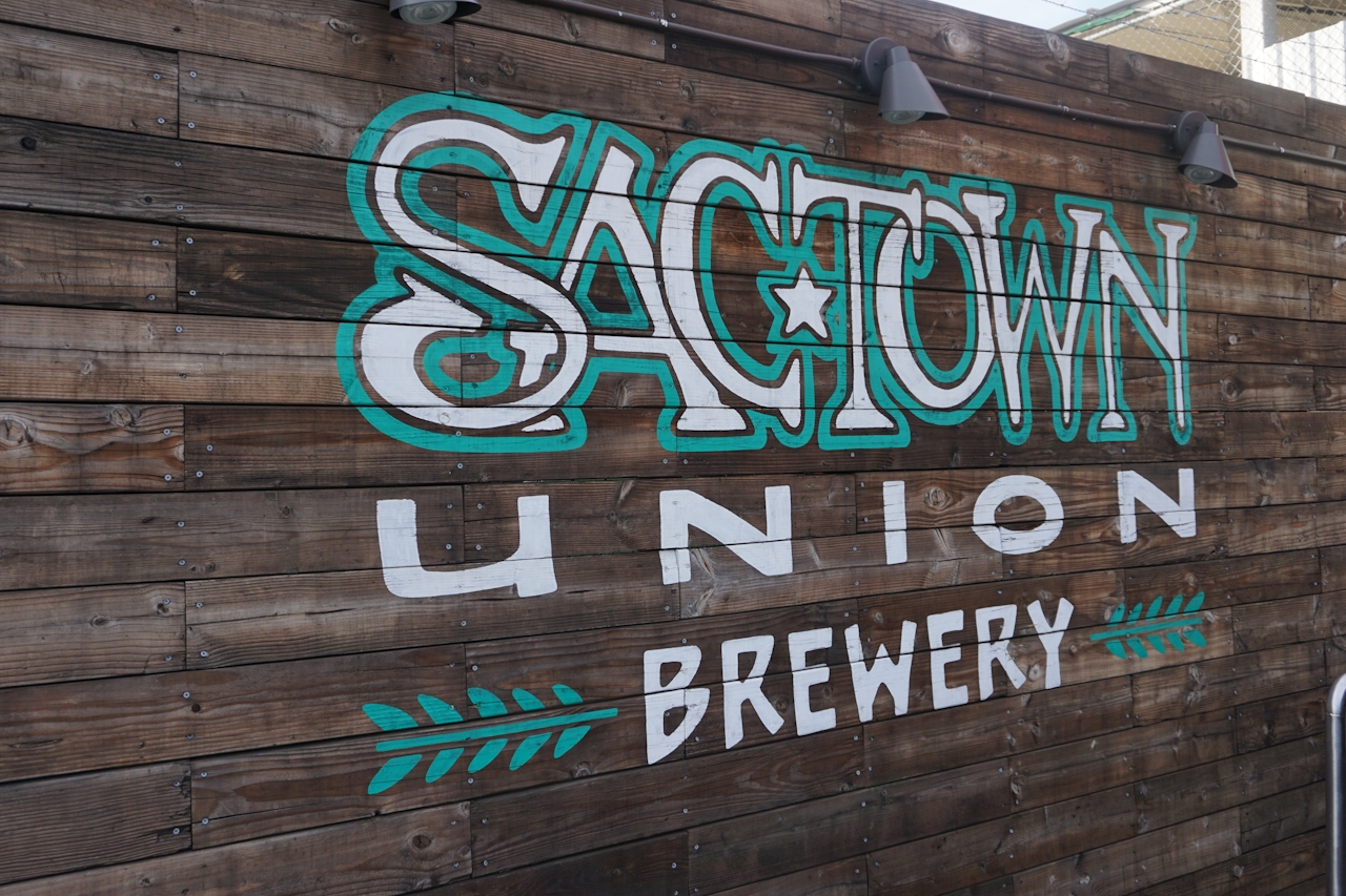
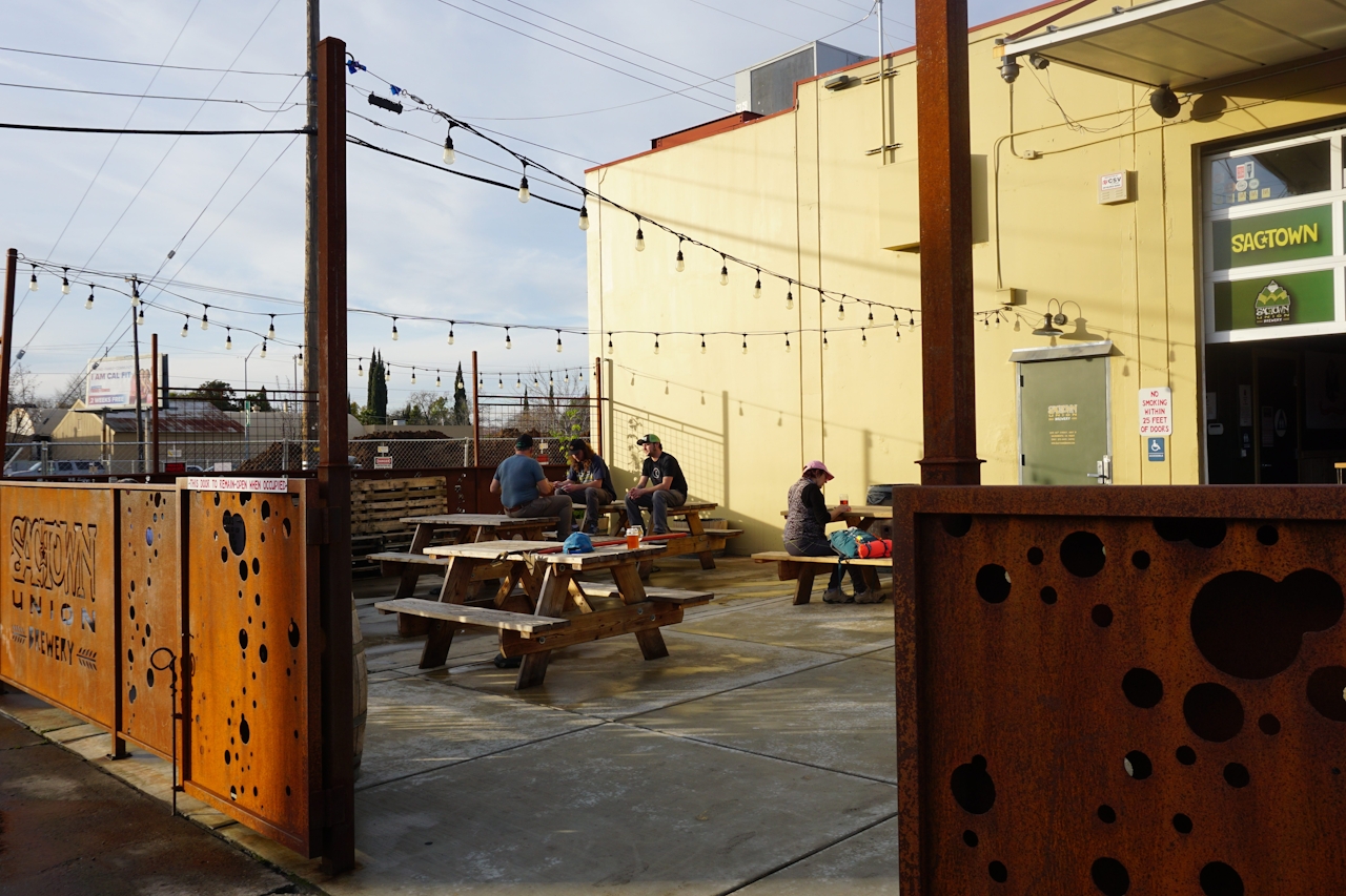
Beer Bonus: After your ride, grab a refresher at Sactown Union Brewery, (1210 66th St., Unit B, Sacramento) just off the trail near Sacramento State University. Nurse a pint (or two) of the refreshing Kölsch or Something Wicked IPA on the outdoor patio and indulge in whatever comfort food is offered at the food truck du jour.
To reach the William B. Pond Recreation Area, take the Watt Ave. exit north from Hwy. 50. Turn right onto Fair Oaks Blvd. then right onto Arden Way. The parking lot is at the end of the road. To save the $5 parking fee, try to snag a spot on the street just outside the gate. At the Upper Sunrise Recreation Area you can check out the Fair Oaks Bridge, have a picnic, and then return the way you came.







