Lizard Like

Coastal hike to Lizard's Mouth in Santa Barbara

As a coastal enclave where beaches meet mountains, Santa Barbara County is one of those places that run the risk of having too much of a good thing. But fortunately we know a spot where you get views of both! Up on a ridge off a highway cutting through Goleta and Santa Barbara you’ll find Lizard’s Mouth, a massive sandstone rock with an overhang that resembles a gaping lizard’s mouth. At just half a mile (round-trip), the hike is short. From the trailhead, follow a singletrack dirt trail that weaves through sandstone boulders up a gradual hill for a quarter of a mile before meeting Lizard’s Mouth on the crest of the Santa Ynez Mountains.

Views of the Pacific Ocean stretch below to the south, where you can see as far as the Channel Islands. Your northern backdrop is the ridgeline of the Los Padres mountain range delineating the horizon. In between is a field of boulders and interesting rock formations among hills that make the area popular for rock climbers as well as hikers. It’s the perfect spot to scramble and explore, or sit atop one of the massive boulders.

BONUS BEER: Figueroa Mountain Brewery Taproom in downtown Santa Barbara (137 Anacapa Street, Suite F) has a tasty Lizard’s Mouth IPA brew. The taproom features indoor and outdoor seating, beers on tap, and growlers to go, plus food menus from local restaurants.
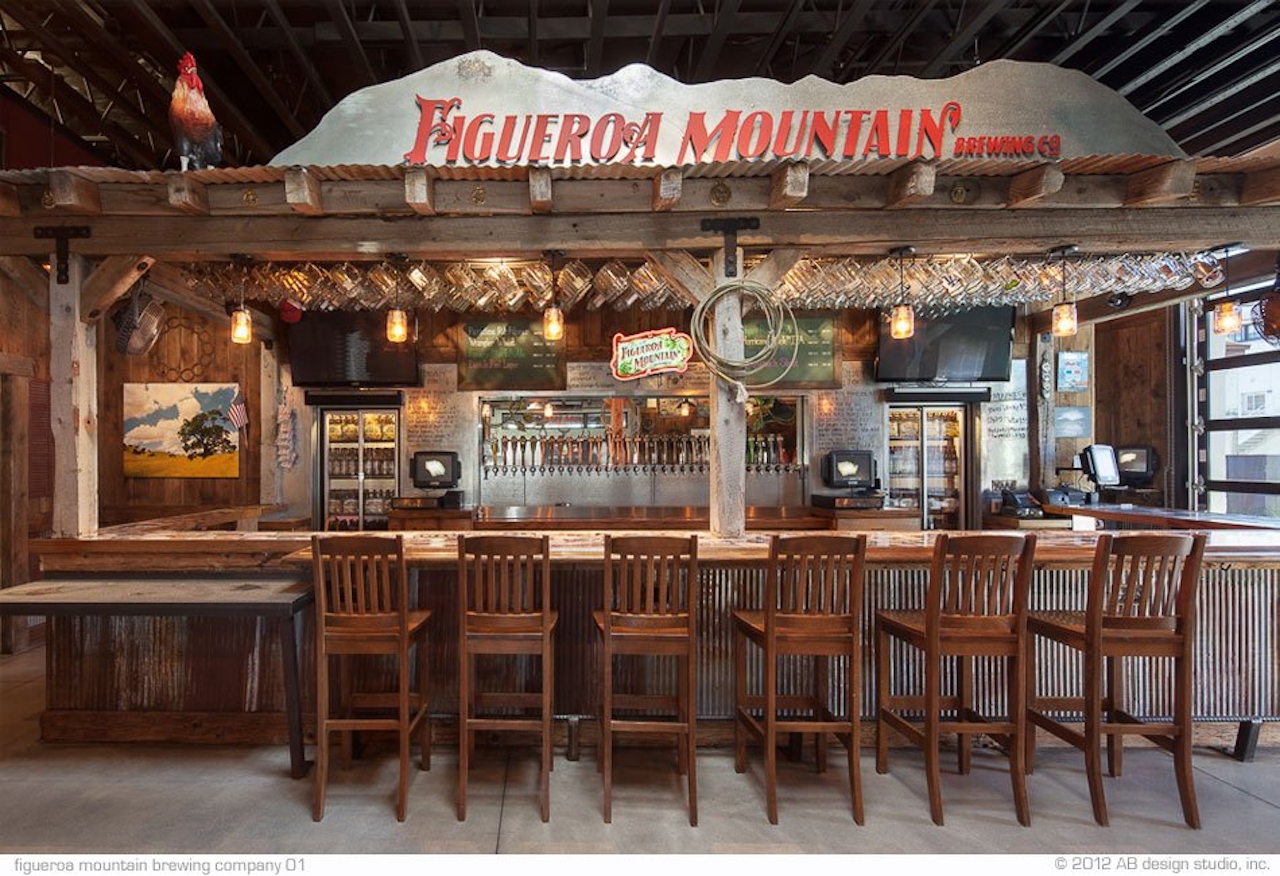
figueroa-mnt-brew-funkzone-01-image-jpeg

Directions to Trail: From Highway 154/San Marcos Pass Rd., turn west on West Camino Cielo. Follow West Camino Cielo for 3.6 miles (passing a sign for Lizard’s Mouth Rock along the way) before reaching the start of the trail on the west side of the road, which is marked by a wooden post and a large rusted drainpipe in the ground. Parking is located at dirt pullouts off the road.

Trending Stories NorCal

View all Stories
  1. Sponsored

    Reno Mountain High

    Take your vacation to new heights with some of the season’s most original events, and plenty of outdoors to explore. Fall for it all in Reno Tahoe.

    View
  2. Walk on the Wise Side

    A wise man once said, “Walk it off.” And San Francisco has just the place for a colorful walk via a 2.7-mile loop along Philosopher’s Way Trail in the 318-acre John McLaren Park (S

    View
  3. Hiker on the SCA trail in Marin Headlands with view of the Golden Gate Bridge

    Headlands Over Heels

    People come from all over the world to get a glimpse of the Golden Gate Bridge. Get a dramatic and novel view of the bridge without all the people on this moderate 6-mile hike in the Marin Headlands.

    View
  4. Greater by the Dozen

    This hike is anything but a dime a dozen. The all-new "Golden Gate Dozen Trail" links 12 National Park sites on a spectacular 13-mile journey across San Francisco's coastline.

    View

Trending Stories SoCal

View all Stories
  1. Can We Get a Whoop Whoop!

    City, mountain, and ocean views all in one hike? Whoop whoop! It’s no surprise the the Kenter Fire Road and Whoop-de-Doos Trail (a combo of fire road and singletrack) is a favorite among local mountain bikers and hikers alike.

    View
  2. The Big Chill

    In LA, finding a place to chill can be the ultimate flex. So flex, in Franklin Canyon! This unexpected oasis has plenty of shade, cool lake breezes, and ample picnicking spots. Enjoy it on an easy-going 1-mile stroll along its reservoir and duck pond.

    View
  3. Holcomb We Haven't Camped Here?

    Holcomb Valley Campground in the San Bernardino National Forest has 19 pine-shaded sites, all of them first-come, first-served.

    View
  4. Waterfall Hunter

    If you ask a local in Reno about one of the best hiking trails in town, odds are high they’ll point you to Hunter Creek Falls. It’s a year-round favorite, but it absolutely shines in spring, when desert peach wildflowers make a splash—and so does the marquee waterfall.

    View





