Behold the Superslabs
Exploring Mormon Rocks in Cajon Pass


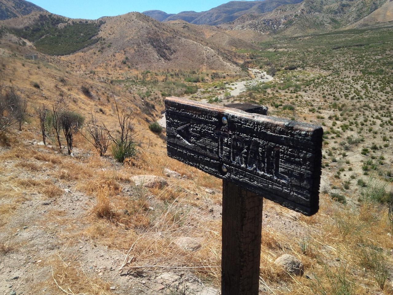
Bored with the scenery between LA and Vegas along I-15? You must have missed Mormon Rocks. Wedged smack on the San Andreas Fault in Cajon Pass, these massive, tilted slabs of sandstone are a stunner. Even if you’re not en route to Sin City, it’s worth driving out to explore. The best place to start is Mormon Rocks Interpretive Trail, a one-mile loop climbing from a fire station to overlooks of the formations. A wildfire tore through the area in 2016, leaving the hills rather drab, but the landscape is regenerating and the rocks are amazing.
At the trailhead, grab a pamphlet that interprets numbered wooden posts along the trail. You’ll learn about the colorful history of Cajon Pass, including the Serrano Indians who lived here and the Mormons who sought shelter amid the rocks while crossing in 1851 on their way to San Bernardino. The trail switchbacks up a slope of scorched earth to a ridge with views of the imposing sandstone wall to the north, uplifted ages ago by the San Andreas Fault.

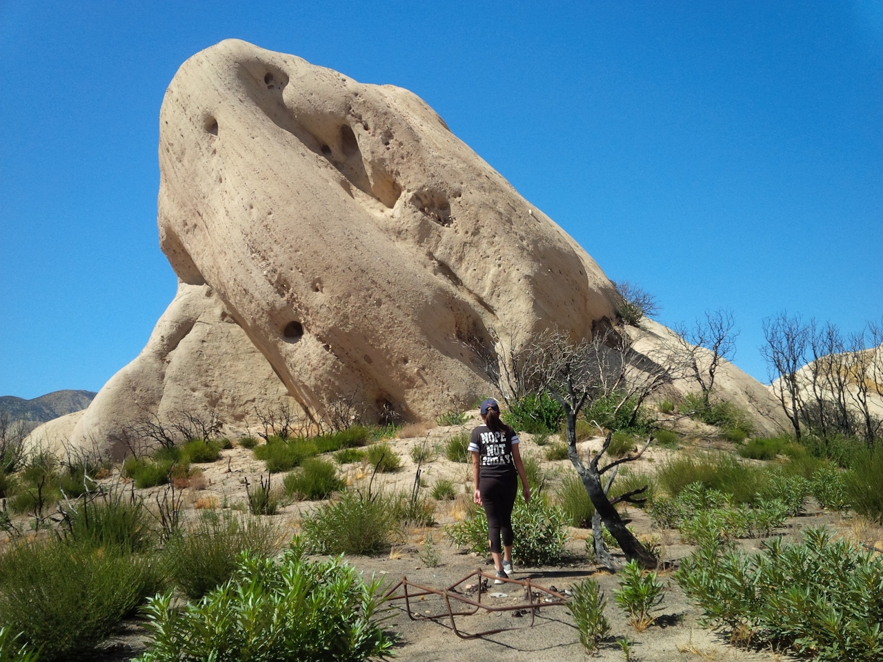
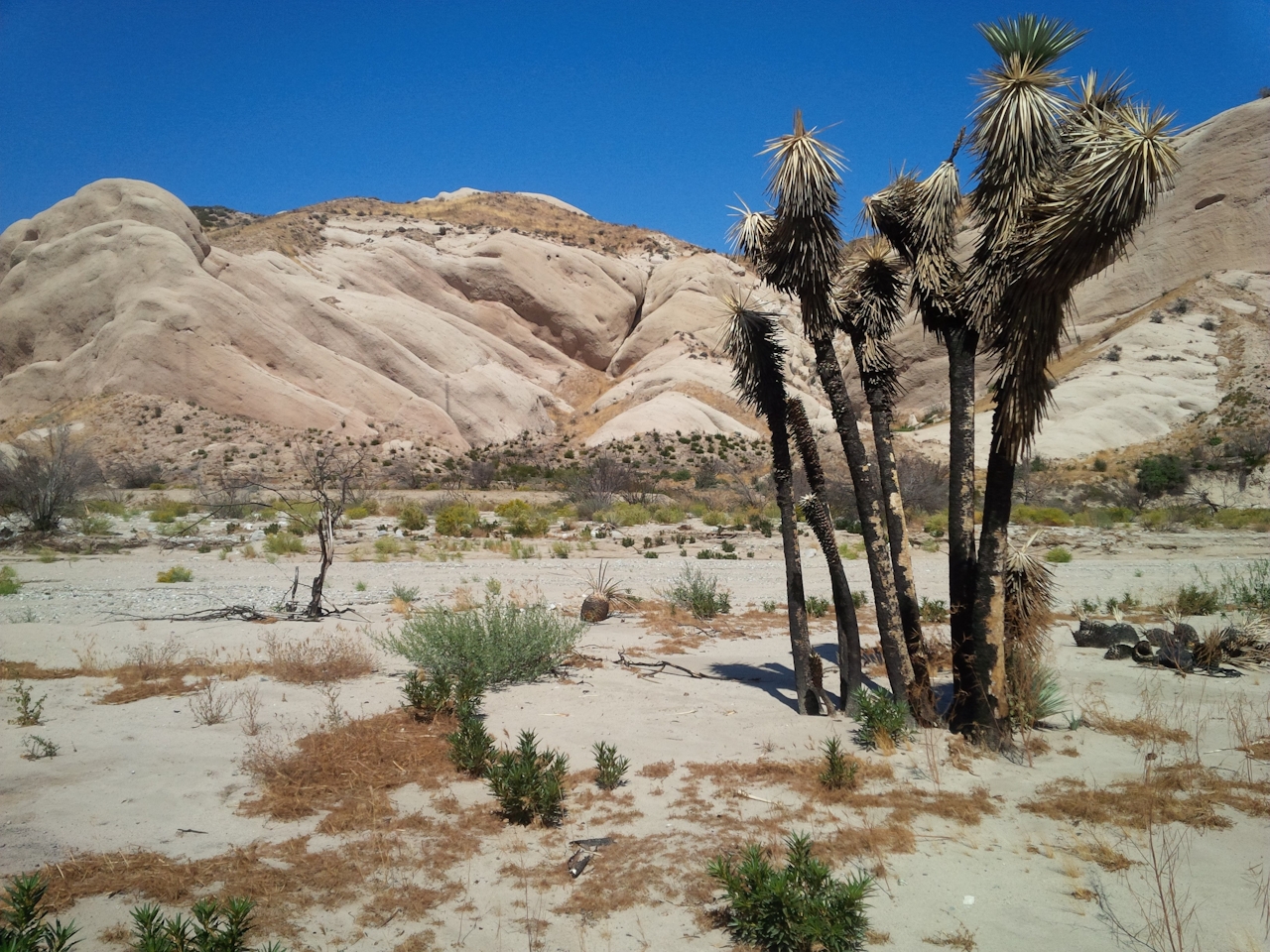
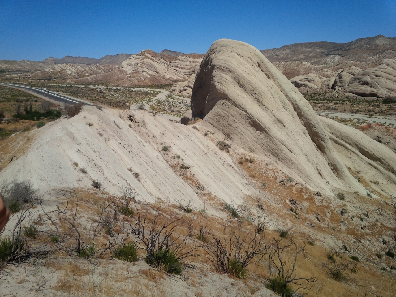
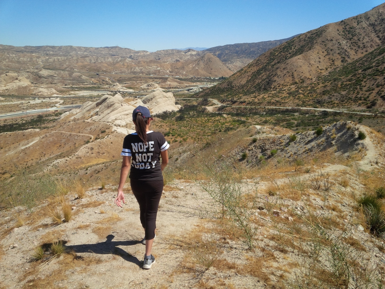
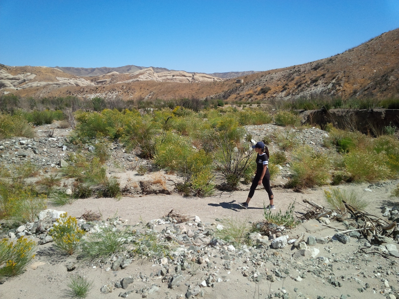
Head south. The path curves left, tracing low ridges above the fire station and passing a striking diagonal thrust of sandstone (easily climbed) before returning to the parking area. A few spur trails along the way offer forays into the San Bernardino National Forest backcountry. One descends into a quiet sandy arroyo to the west. It’s also worth wandering Cajon Wash—north of CA-138—to draw near the most impressive rocks, many rising scores of feet above the wash and pocked with caves and smaller cavities resembling portholes on a ship.
Don’t expect quiet canyon solitude at Mormon Rocks. For centuries, Cajon Pass has facilitated the passage of goods and people between the Mojave Desert and San Bernardino Valley—no more so than today. Cars roar by on I-15 and trains roll through regularly. But that’s part of the pass’s legacy—a fascinating blend of astounding geology and continual movement.
From Los Angeles, take I-15 north toward Barstow. In Cajon Pass, exit onto CA-138 and head west for a mile to reach the parking lot at Mormon Rocks Fire Station. Dog-friendly!







