Arastradero Is an A+
Fall Hike Pearson Arastradero South Bay


{NOTE: Due to atmospheric rivers that can come this time of year, always be sure to check ahead for trail closures and hazards. And of course, wait for better weather and drier conditions before hiking.}
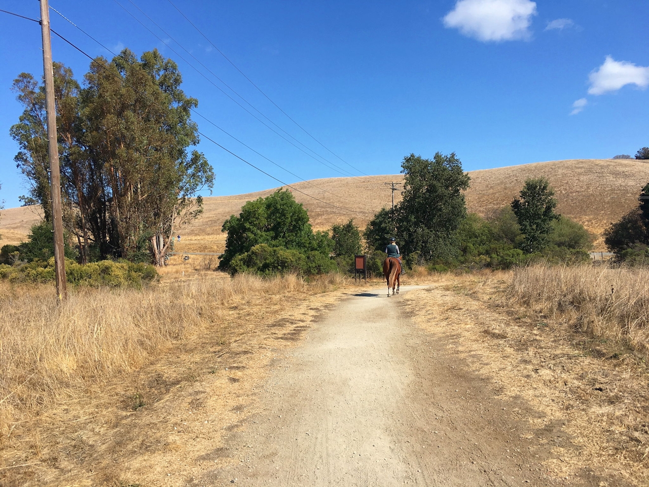
Pearson-Arastradero Preserve just might be the perfect place for feeling swept away while not being far away at all. Easily accessed off busy Highway 280, the 622-acre space has over 10 miles of trails, including a 4.2-mile loop through wide-open grasslands, up to views and along the shores of its namesake lake.
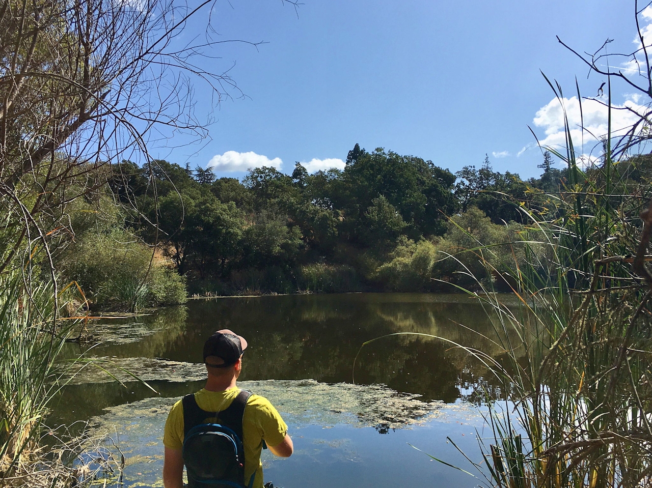
Take the Juan Bautista De Anza Trail, following it through the open grasslands and into an oak- and shrub-lined pathway leading to the shores of Arastradero Lake. The small lake, surrounded by a mix of trees and cattails, is a bird watchers’ delight.
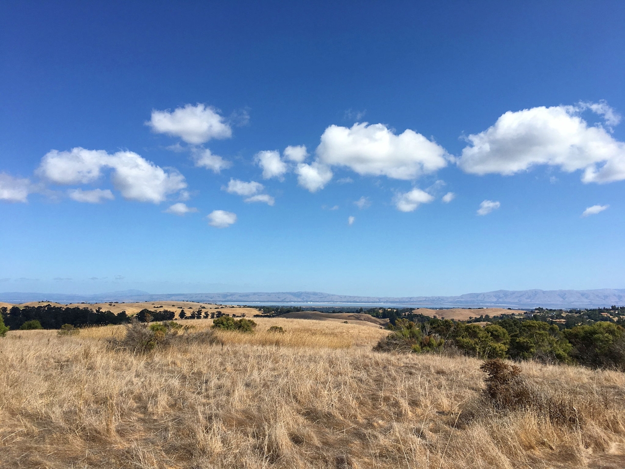
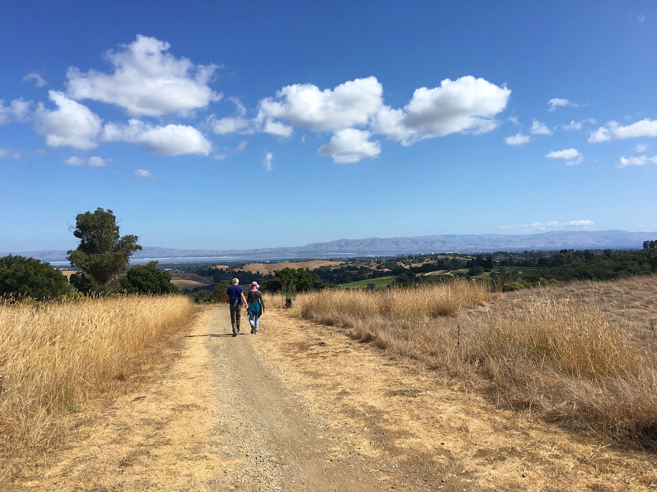
After getting your fill of the lake, keep right on the Juan Bautista De Anza Trail, where you’ll begin your climb to nearly the highest point in the park. As you ascend among the grass savannah, look for deer, bobcats, coyotes, even a pair of bald eagles that have been reported in the area.
After just over a mile, take the dirt Meadowlark Trail on the left, marked by a gate, and continue around a few bends to views of San Francisco Bay and Palo Alto. This is the pinnacle! Descend through a mix of oaks that give way to grassland sections, allowing for fantastic views of the park and the southern end of San Francisco Bay.
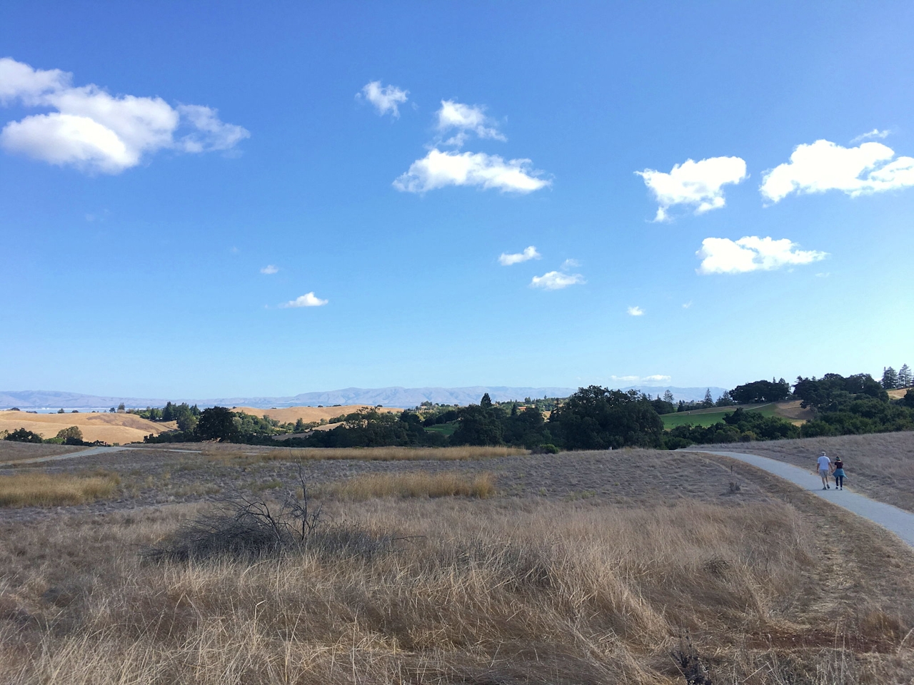
Take a right on the Woodland Star Trail, marked by two large oak trees and a bench, and continue to descend into the oak forest. Next take Bay Laurel Trail, climbing out of the oaks and connecting with the Ohlone Trail, which continues your descent. Hop on the Bonus Hill Trail before connecting with the Meadowlark Trail to grab a final look at the beautiful countryside around you. Finally, hit the Portola Pastures Trail to bring you home.
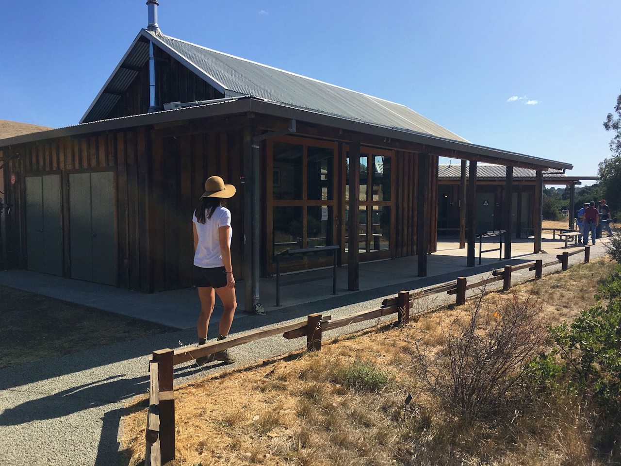
The hike begins from Pearson-Arastradero Preserve parking lot located on Arastradero Rd. Water and bathrooms are available next to the information building. Be aware that the trails are multi-use, with bikes and horses. Dog-friendly!







