Gaviota Peak
Gaviota Peak in Gaviota State Park


Some of the best coastal views in the Golden State don’t come easy, but the payoff makes up for the challenge! Head for Gaviota State Park’s headlining hike, Gaviota Peak. It’s a 6.5-mile loop from the trailhead, gaining nearly 2,500 feet in elevation for a true, and truly strenuous, summit experience. Take the fire road a quarter of a mile to a junction under sycamores and opt for the left route (this allows for the rewarding coastal views on the way down). After a short downhill section, begin your grueling ascent through a grass field to a brief oasis of shady oaks. Continue pushing until you reach a T-junction at 3 miles, offering your first breathtaking views of the Pacific Ocean.
Take a right and it’s a short hike up to the peak, marked by a bin chock-full of guest books and mesmerizing panoramic views. While stretches of beautiful coastline are where your eyes naturally wander, on a clear day search for the Channel Islands on the horizon. The wine country of the Santa Ynez Valley lies to the north in rolling hills, while the Santa Ynez Mountains dominate your view to the east.
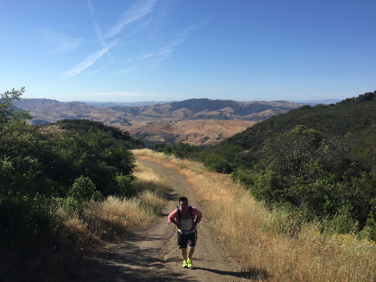
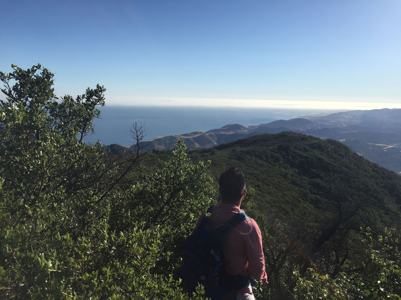
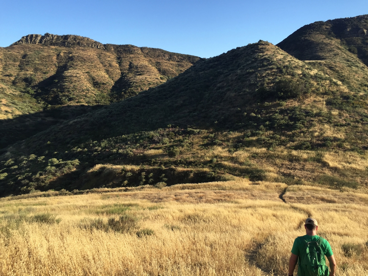
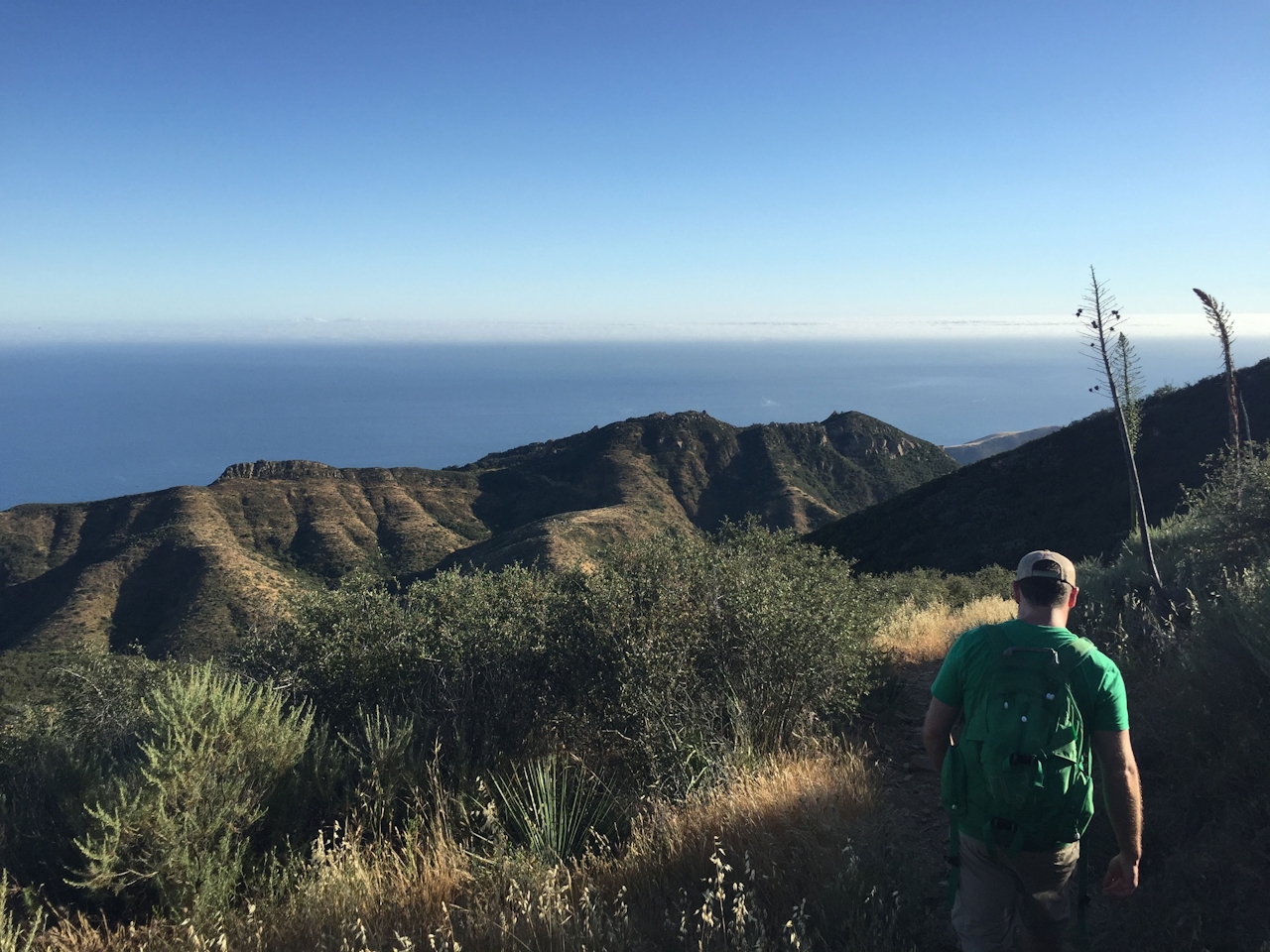
Hiking back down via Trespass Trail, you’ll be surprised by not only the constant coastal vistas but also the healthy coastal chaparral flora thriving (and encroaching on your trail space). Tall yucca plants dot the mountain as you descend steeply through a grassy field and make a right at the bottom of the ravine. Shortly after, pass through a gate (you were on private ranch land briefly, however, due to a state agreement, hikers can pass through it legally, hence the name Trespass Trail). Catch a final glimpse of the coastline and hike a mile to the first junction, taking a short descent back to your car.
To get to the trailhead, take Hwy. 101 N from Los Angeles through Santa Barbara to CA 1 N (Lompoc/Vandenberg AFB). Take a right off the exit, followed by an immediate right onto the frontage road. Continue for about half a mile to a dead-end to find the dirt lot and trailhead. No dogs.







