Plateau Perfection

Hike a loop of the Bay Area Ridge Trail at Vargas Plateau in the East Bay

Vargas Plateau withe cows in the background in the East Bay

Deep in the East Bay hills lies a spot that’s perfect for anyone who loves animals. Vargas Plateau Regional Park is a secluded grassland that’s home to several endangered and threatened species—and of course, the East Bay grazing cows. Bring some binoculars and explore this 4-mile loop of the Bay Area Ridge Trail.

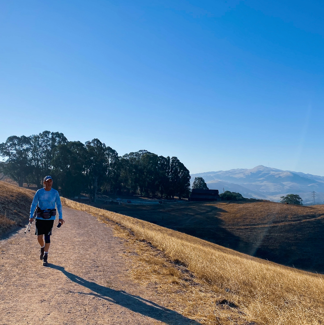
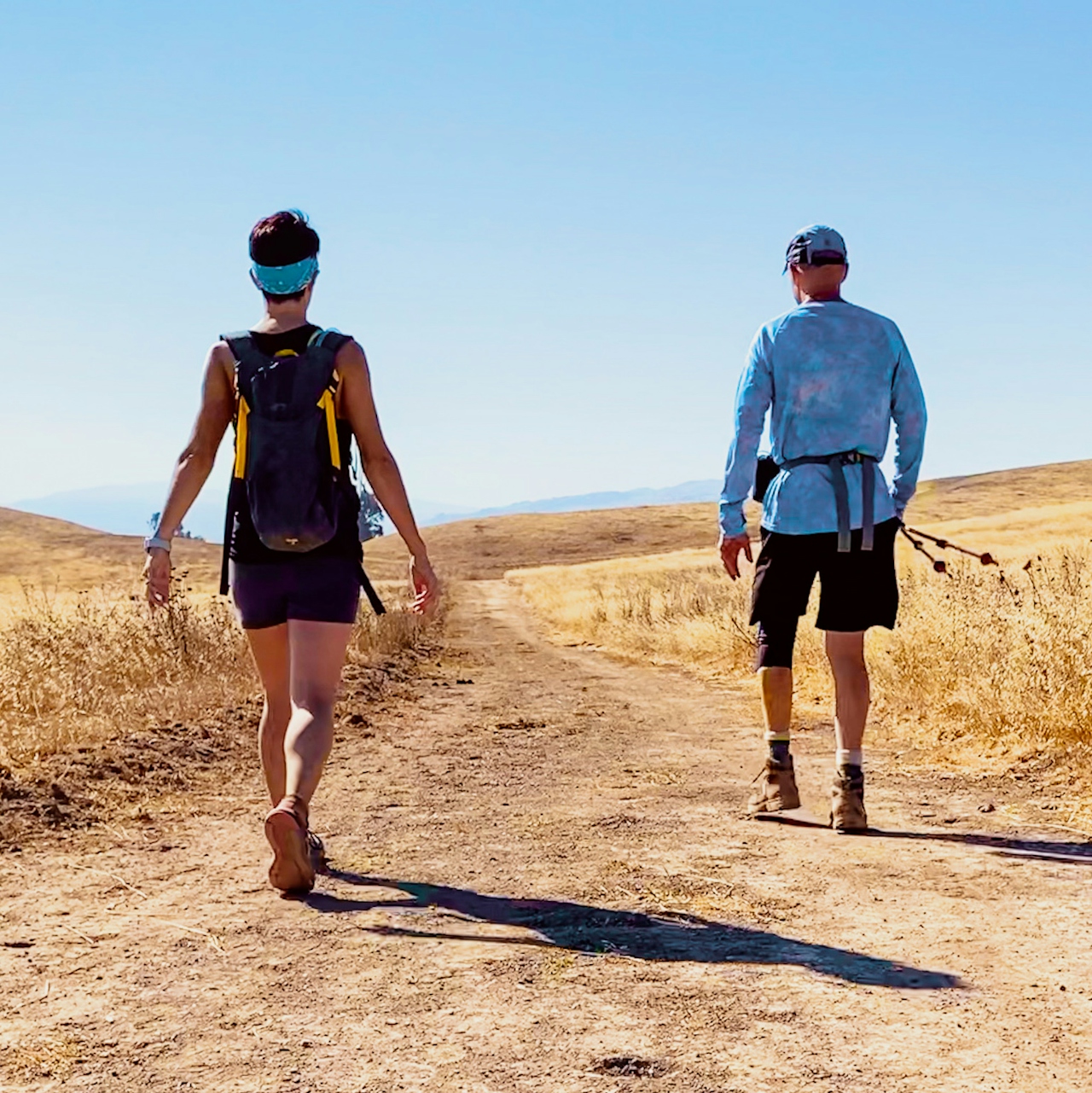
Hiker on a trail at Vargas Plateau in the East Bay

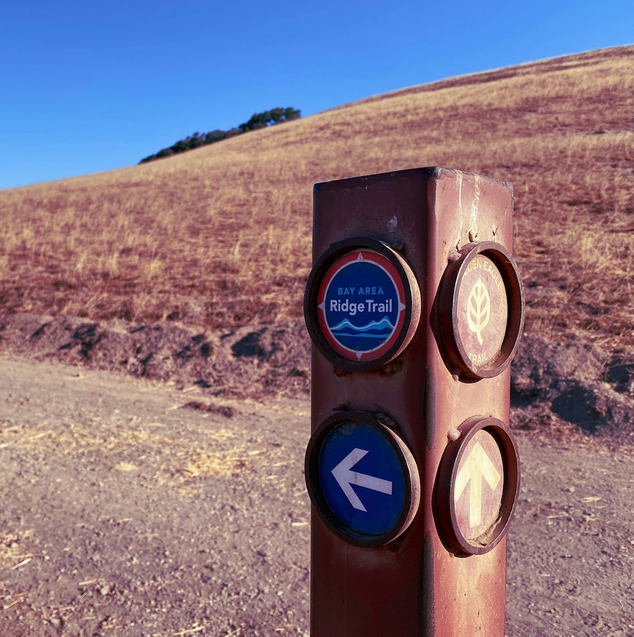
Bay Area Ridge Trail sign pointing the way in Vargas Plateau East Bay

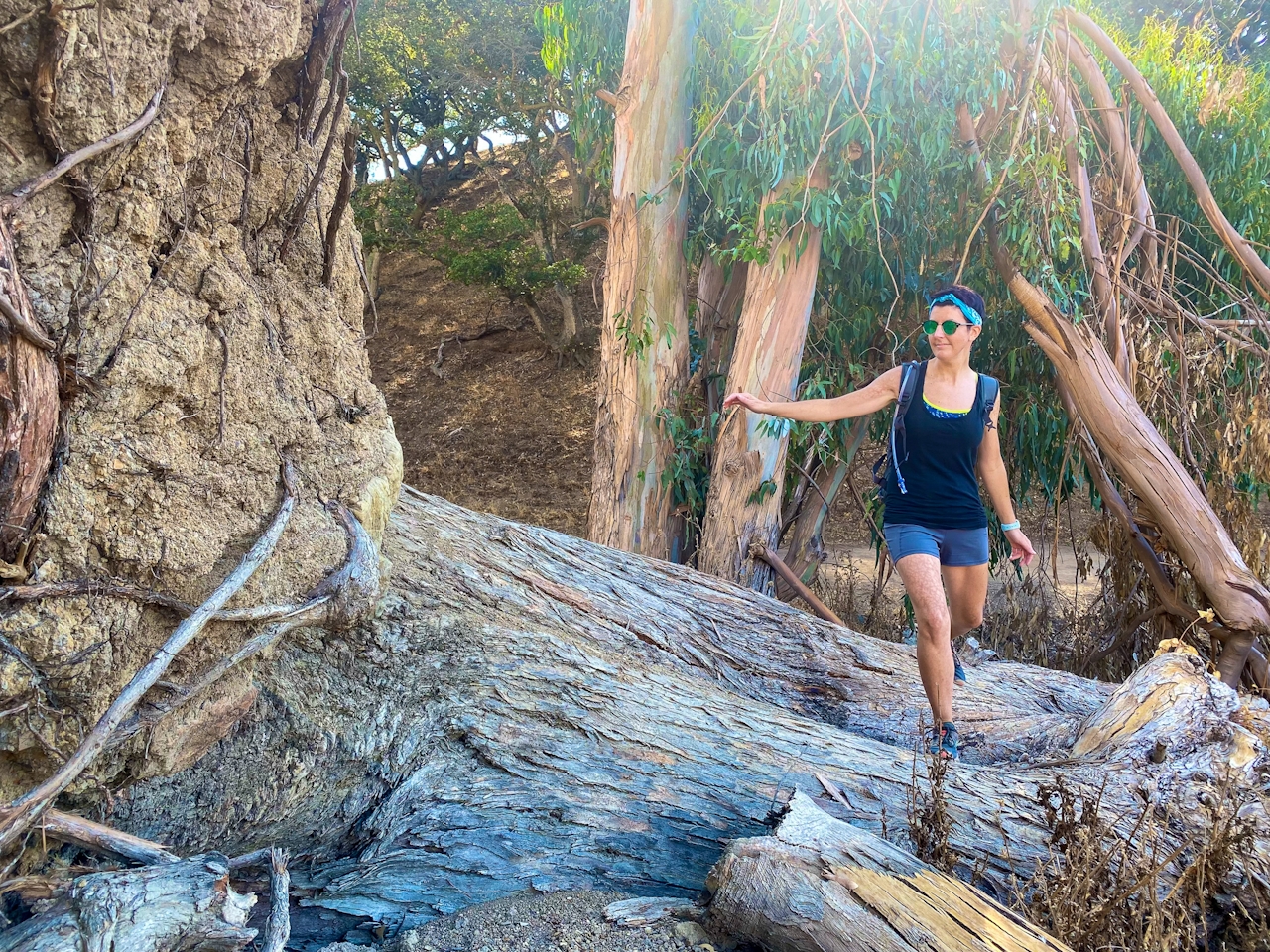
The trail begins at the Vargas Plateau Staging Area, where hikers, cyclists, and equestrians can get an up-close look at the historic Vargas family barn. Follow signs for the Bay Area Ridge Trail as they lead you through the golden hills. A shady eucalyptus grove is the perfect place to search for funnel spiderwebs on the hillside—slightly scary, yet fascinating! (As hikers emerge back into the sunshine, they should be on the lookout for gopher snakes, rattlesnakes, and even the rare Alameda whipsnake basking on the rocks.)
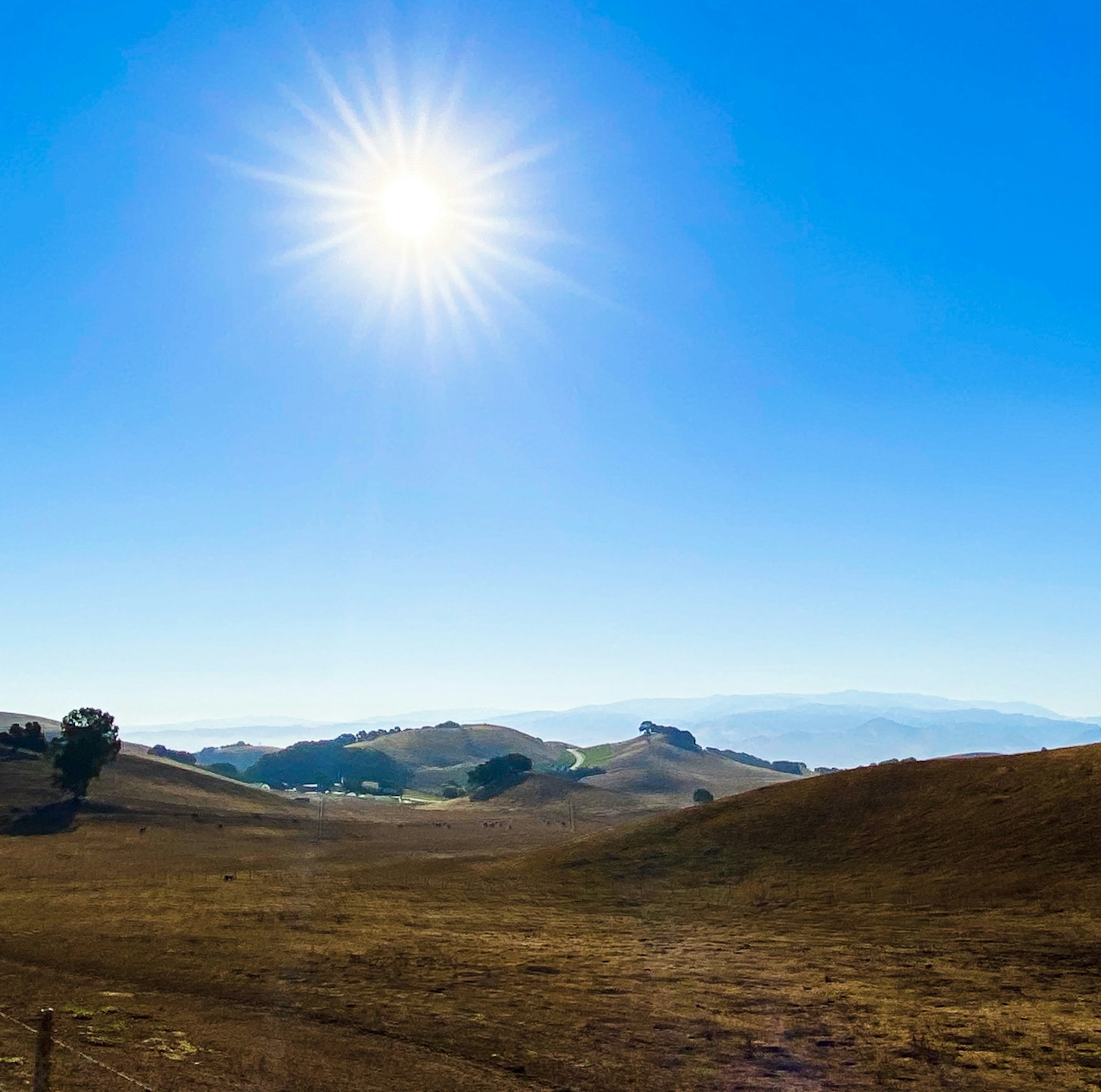
At the intersection with Upper Ranch Trail, turn right. Here, the plateau’s centuries-long history as a ranch continues, with grazing cows—including newborns—just be respectful by giving them all a wide berth.
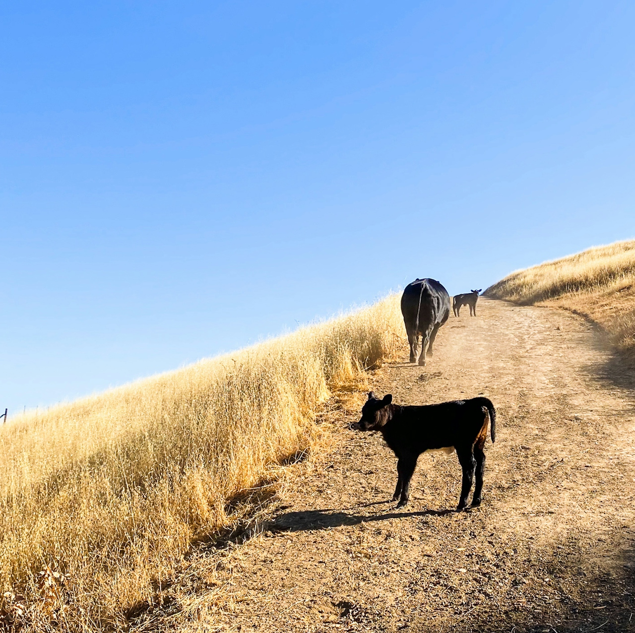
Baby cow at Vargas Plateau in the East Bay

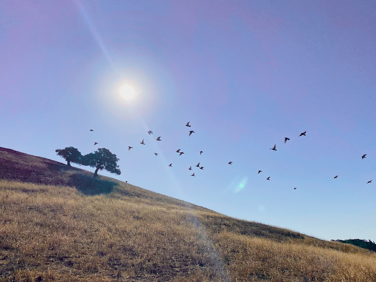
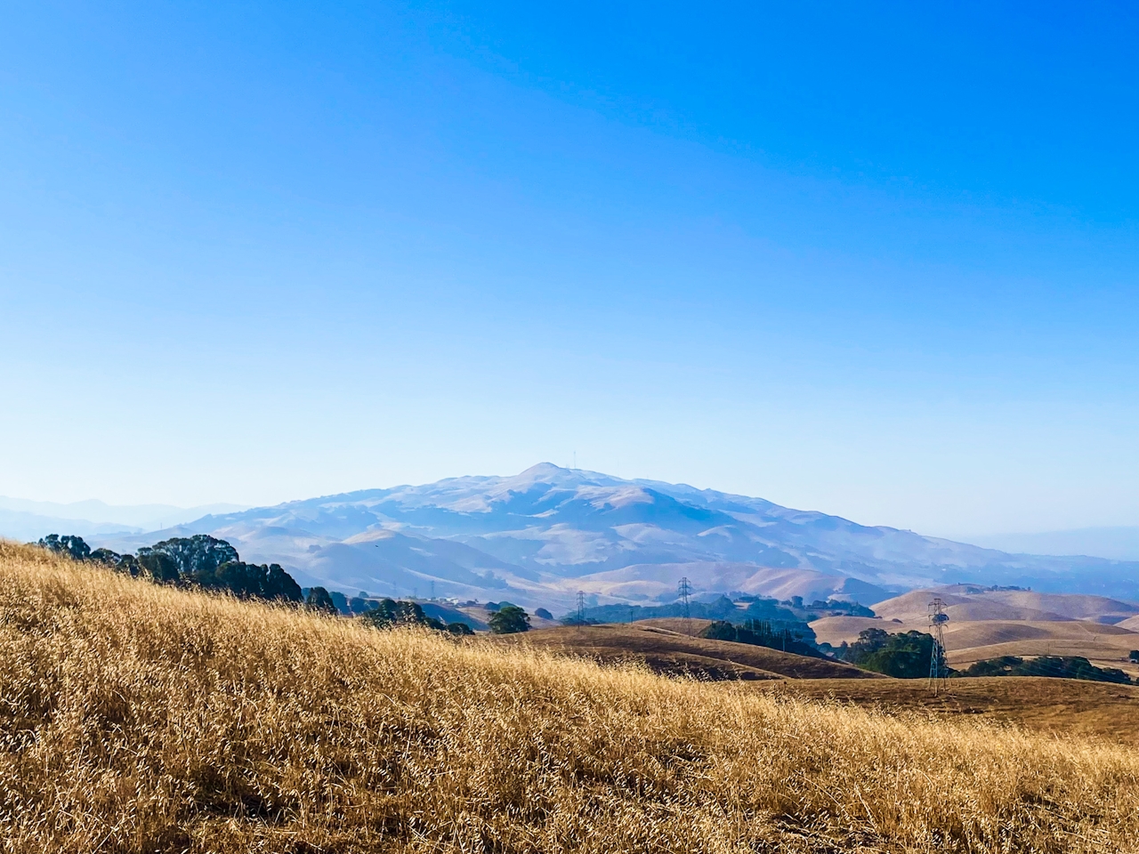
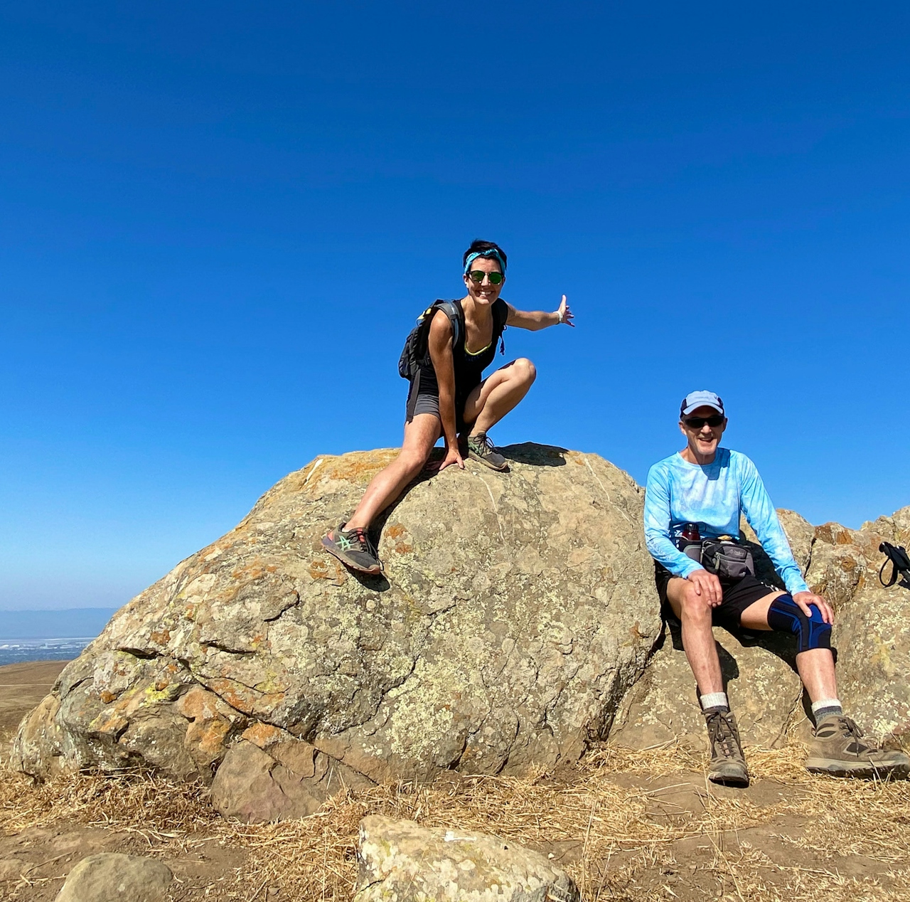
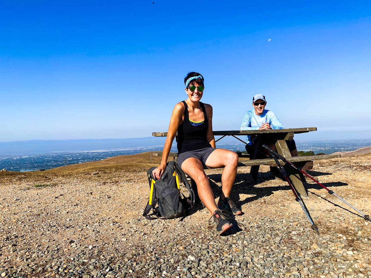
Turn left at the next intersection to visit the viewpoint. This flat hilltop has a picnic table that’s perfect for lunch with a view. Fuel up while soaking up sights of the Diablo Range, including nearby Mission and Monument Peaks. Bird watchers may want to spend extra time up here, as white-tailed kites, wild turkeys, and red-tailed hawks live on the plateau.
Continue along the Upper Ranch Trail as it descends to a small cow pond. Here, eagle-eyed adventurers can spot newts, salamanders, and frogs. (Be on the lookout for the rare California red-legged frog.) Continue on the trail as it steeply ascends back onto the plateau. As the Upper Ranch Trail merges with the Golden Eagle Trail (Bay Area Ridge Trail) retrace your steps back to the parking lot.
Vargas Plateau Regional Park can be found at 2536 Morrison Canyon Rd. in Fremont. From I-680, take exit 18A onto Vargas Rd. Turn right onto Morrison Canyon Rd., and after 0.4 mile, turn left into the park. Hikers, cyclists, and equestrians are welcome on the trails. Leashed-dog-friendly!

Story and photos by Heather Werner, @heath.er.wer.ner

Trending Stories NorCal

View all Stories
  1. Purely Purisima

    Take a relaxing hike on the lower section of Purisiima Creek Trail in Purisima Creek Redwoods Open Space Preserve.

    View
  2. Been There, Dome That

    Surrounded by granite domes, craggy peaks, and miles of hiking trails, the High Sierra landscape of Tuolumne Meadows in Yosemite National Park is famous for good reason. For a truly grand view, take a short hike to bold—and bald (except for snow at times)—Lembert Dome.

    View
  3. Wapama Wows

    Hetch Hetchy can be overlooked in Yosemite National Park because of its more remote location and limited facilities. But this is where you’ll also find one of the best day hikes in the park: Wapama Falls.

    View
  4. Sponsored

    Take the Exit to the Best of the San Francisco Peninsula

    The San Francisco Peninsula is proof that some of Northern California’s greatest surprises are hiding just off Highway 101. All you have to do is take the exit.

    View

Trending Stories SoCal

View all Stories
  1. Ballona Beach Hopper

    This easygoing bike escape is proof that you don't have to drive for hours to feel the vast benefits of nature. The Ballona Creek Bike Path is part of the “Park to Playa Regional Trail,” a 13-mile network connecting parks and open spaces from Baldwin Hills to the Pacific Ocean.

    View
  2. Lookout Ahead!

    A 3.7-mile loop hike to Boucher Hill Fire Lookout in Palomar Mountain State Park reminds us just how stunningly beautiful are the mountains of this remote, lightly visited portion of northern San Diego County.

    View
  3. A Thousand Steps to Paradise

    A picture is worth a thousand words, but is a gorgeous beach in Laguna worth a thousand steps? The answer is yes, though the question is moot, because it’s only 223 steep steps down to the 400-yard stretch of sand known as 1000 Steps Beach.

    View
  4. Strawberry Peak Lookout Hike

    Strawberry Sunday

    The 2.5-mile (round-trip) lollipop loop climb to the Strawberry Peak Fire Lookout near the town of Lake Arrowhead dishes up some delicious views.

    View