A River Runs Through It

Hike a riverside trail at Azusa River Wilderness Park in Los Angeles

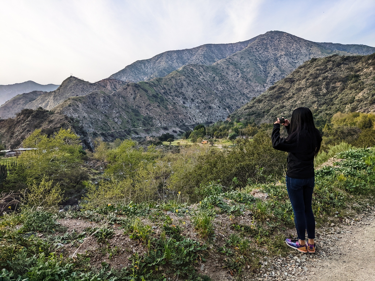
hiker overlooking the scenery at Azusa River Wilderness Park in the San Gabriels

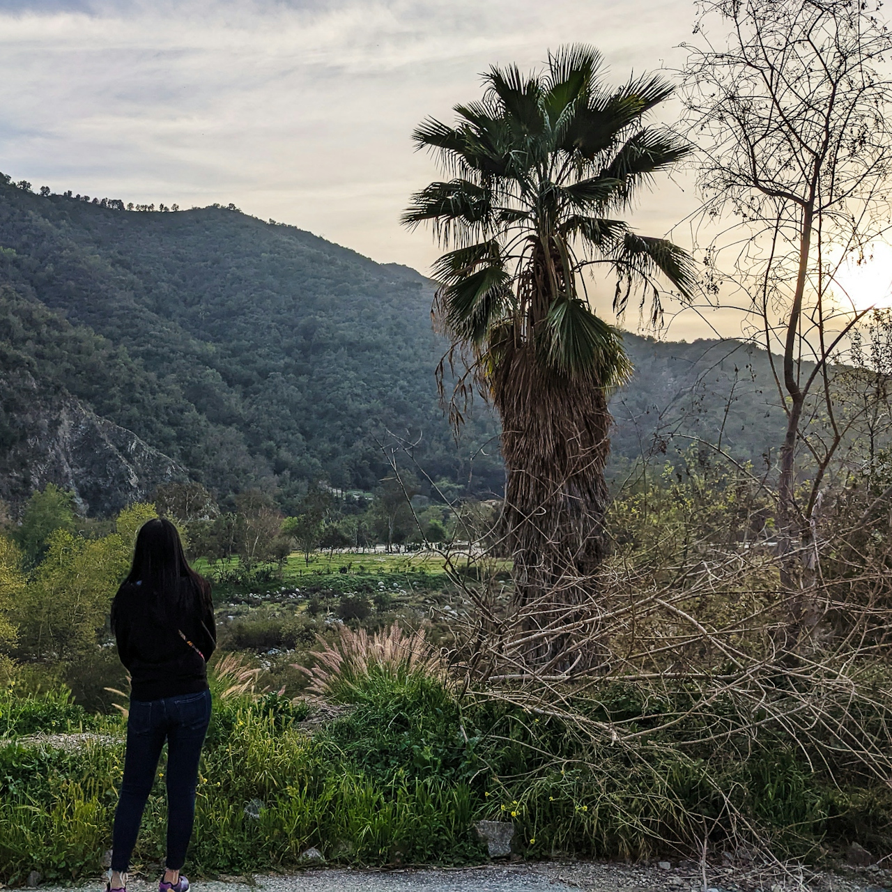
Though a river does in fact run through it, Los Angeles isn’t exactly famous for its natural flowing water streams. Even the most avid hikers don’t realize, however, that a scenic riverside hike exists at the base of the beloved San Gabriels. Enter a 2.25-mile out-and-back trek in Azusa River Wilderness Park that parallels the San Gabriel River and offers great canyon views via a gentle ascent.
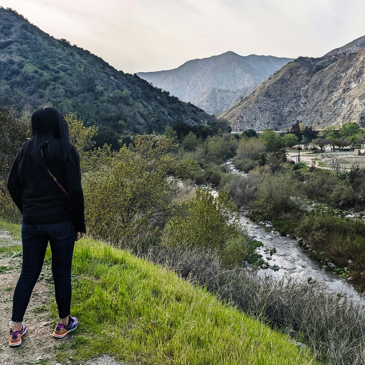
Hiker looking at the San Gabriel River in Azusa River Wilderness Park

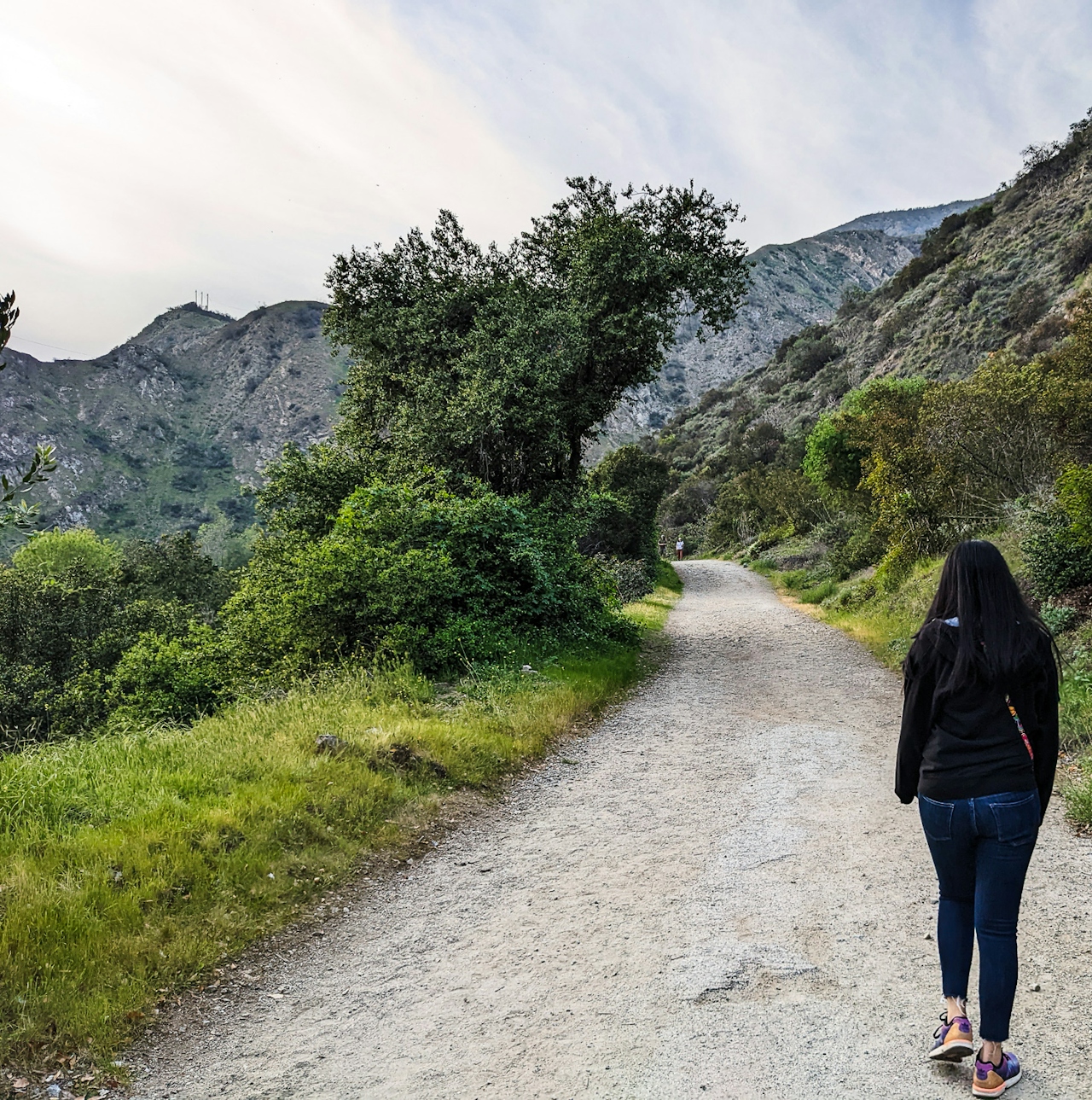
Hiker walking on a trail at Azusa River Wilderness Park in the San Gabriels

Hiker taking a photo of the San Garbriels in Azusa River Wilderness Park in the San Gabriels

Park at the large lot at the entrance to the park, which is run by the Watershed Conservation Authority and marked by a giant sign reading “El Encanto.” This is often what the trail is referred to as, and it makes sense given the natural charms of the area. Start your journey at the Hilda L. Solis River Overlook, which has interpretive signs detailing the area in addition to your first glimpse of the San Gabriel River. This is actually part of the larger San Gabriel River Trail (as the signage displays), which runs 40 miles to the Pacific (at Seal Beach), throughout which the river will flow, trickle, pool, and even vanish. 
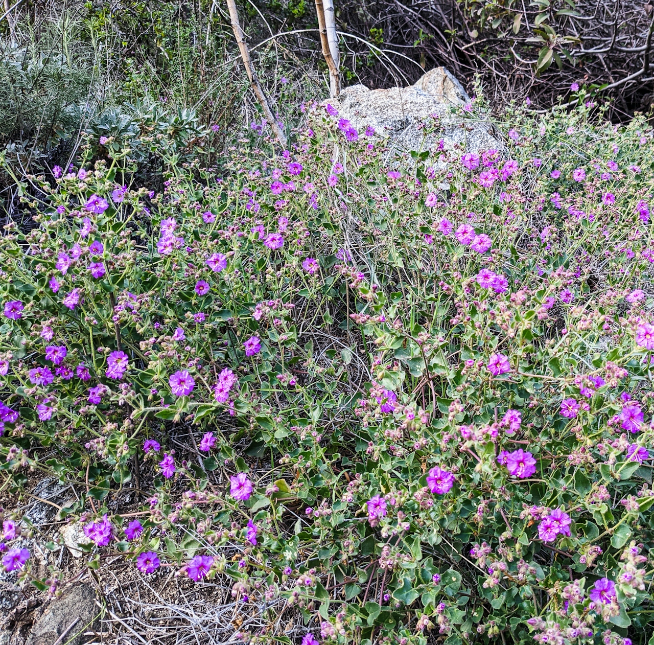
On this trip you’ll be heading into the mouth of the San Gabriel Canyon along Old San Gabriel Canyon Road. The wide dirt path hugs the canyon walls to the right and gives you constant viewing of the rushing river below. Pass under a few trees such as palms and sycamores, and wander beside native chaparral staples.
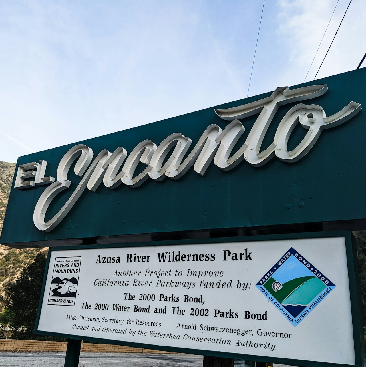
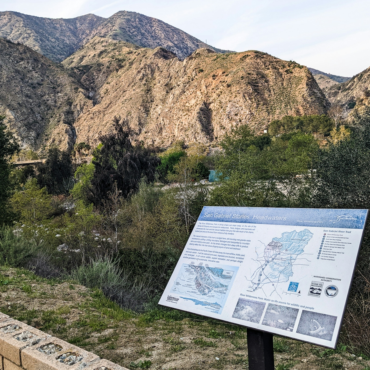
Sign for Azusa River Wilderness Park in the San Gabriel Mountains

When the trail starts to bend at a little past the half-mile mark, enjoy the sweeping canyon views before descending. After the mile mark and just past a pair of large oaks, you’ll reach the gauging station—the closest look at the river and your turnaround point. Enjoy a rest at the water’s edge before heading back. Azusawesome!
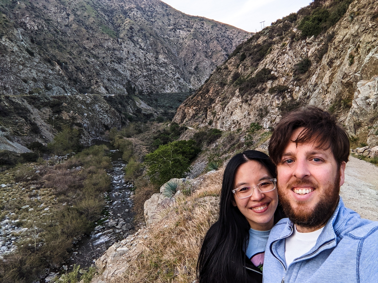
Two hikers taking a selfie photo in front of the San Gabriel River at

BONUS WATER: You can also check out Crystal Lake Recreation Area, which is further up Azusa’s CA-39 highway past two reservoirs and is another excellent water feature in the San Gabriels.

To get to the Azusa River Wilderness Park, take the I-210 to the CA-39 and head north. After 7.9 miles, turn right onto San Gabriel Canyon Rd. The lot and trailhead will be after 0.3 mile. Dog-friendly.

Trending Stories NorCal

View all Stories
  1. Napa Valley Paddle kayaker and paddle boarder on the Napa Valley river

    Napa's Wild Side

    It’s wine country’s Amazon. The gentle Napa River is an ecological—and recreational—delight. And Napa Valley Paddle sets you up for maximum enjoyment of this experience.

    View
  2. Been There, Dome That

    Surrounded by granite domes, craggy peaks, and miles of hiking trails, the High Sierra landscape of Tuolumne Meadows in Yosemite National Park is famous for good reason. For a truly grand view, take a short hike to bold—and bald (except for snow at times)—Lembert Dome.

    View
  3. Wapama Wows

    Hetch Hetchy can be overlooked in Yosemite National Park because of its more remote location and limited facilities. But this is where you’ll also find one of the best day hikes in the park: Wapama Falls.

    View
  4. Hike Mount Tamalpais into Muir Woods

    Muir Woods Through the Backdoor

    A backdoor entrance into Muir Woods? Hike a tranquil trail that starts in Mount Tamalpais State Park and quietly leads into Muir Woods, letting you avoid the busyness of the main parking area.

    View

Trending Stories SoCal

View all Stories
  1. Inn-spiration Point!

    For more than a century, people have been hiking or mountain biking to West Point Inn for good reason. Perched at 1,785 feet on the southern slope of Mount Tamalpais, the historic inn has sweeping views from the Marin Headlands to the San Francisco skyline.

    View
  2. A Thousand Steps to Paradise

    A picture is worth a thousand words, but is a gorgeous beach in Laguna worth a thousand steps? The answer is yes, though the question is moot, because it’s only 223 steep steps down to the 400-yard stretch of sand known as 1000 Steps Beach.

    View
  3. Sponsored

    Take the Exit to the Best of the San Francisco Peninsula

    The San Francisco Peninsula is proof that some of Northern California’s greatest surprises are hiding just off Highway 101. All you have to do is take the exit.

    View
  4. Hike to the Sierra Buttes Fire Lookout in the Lakes Basin

    Lookout for This View!

    Sierra Buttes Lookout, at a lofty 8,591 feet, is a memory maker for its pucker-worthy stairway to the tower’s balcony. It's a 5-mile (round-trip) hike to reach it. And the reward? Epic!

    View