A Hike to the Past

Hike Among Redwoods and History at El Corte de Madera Creek Open Space in the South Bay

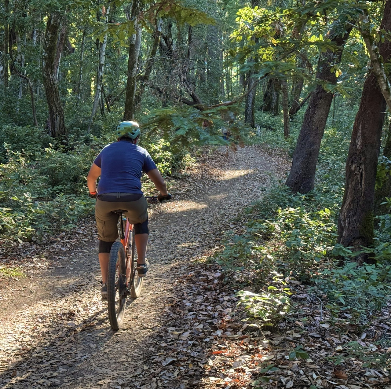
This 5.2-mile redwoods hike or mountain bike through El Corte de Madera Creek Open Space combines a relaxing stroll with unique geologic formations and historical artifacts.
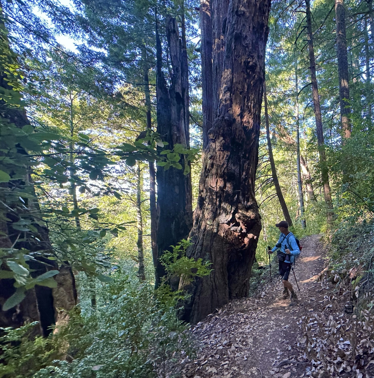
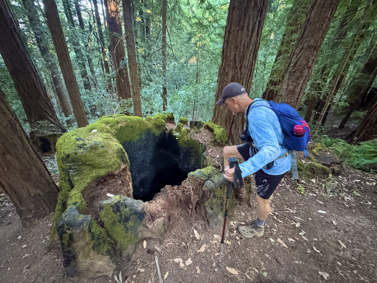
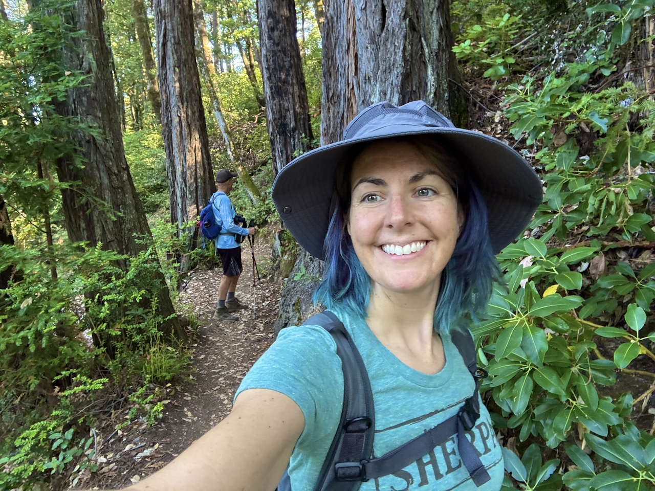
From the Skeggs Point parking lot, cross Skyline Boulevard and walk north along the road for 0.1 mile to reach the trailhead. Follow signs for Tafoni Trail as they lead into the shady forest. Several wildfires have left their mark on the landscape, and many of the massive redwood trees have scars of charred bark.
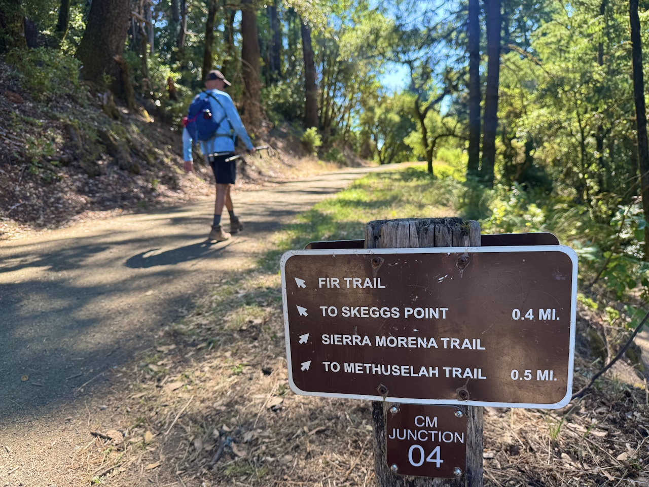
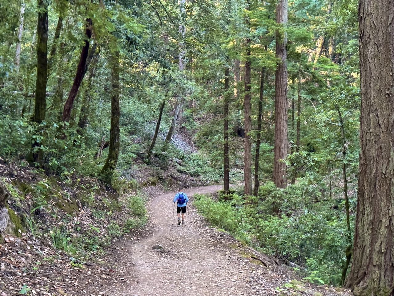
At the intersection with Fir Trail, bear right to stay on Tafoni Trail. Shortly after the intersection, a spur trail leads to the Tafoni sandstone formation. This massive rock is a relic from when the Santa Cruz Mountains were below the ocean, and have since been weathered into an otherworldly honeycomb pattern.
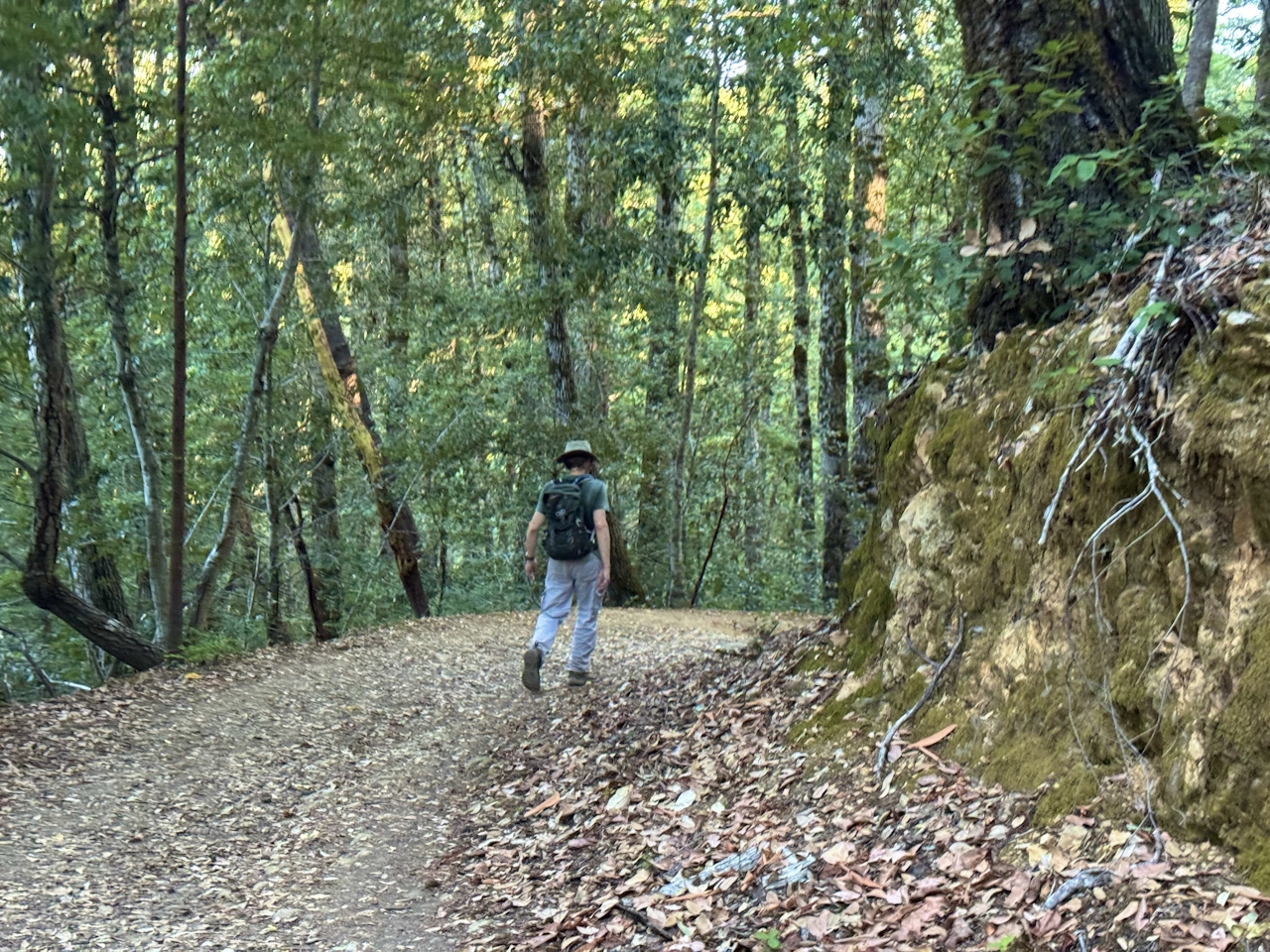
Return to Tafoni Trail and continue west as the path descends deeper into the forest. Turn left onto El Corte de Madera Creek Trail, and then left onto Resolution Trail. This trail is the site where a DC-6 airplane named Resolution crashed in 1953. Metal scraps can still be found along the trail. (Please leave artifacts where you find them.)
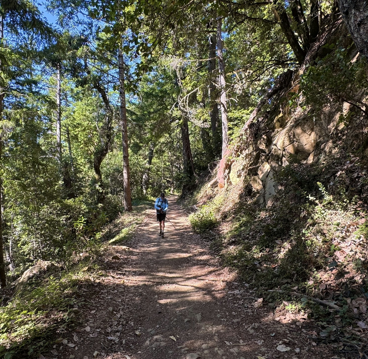
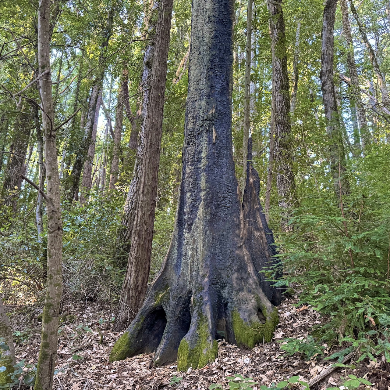
As the trail continues, the trees open up and the ground becomes rockier. Bright red manzanita bushes give this stretch a vibrant pop of color. At the intersection with Fir Trail, keep left to visit the memorial for the nineteen passengers and crew in the plane crash.

Follow signs for Fir Trail as they lead back into the forest and all the way to Skyline Boulevard. Cross the street to return to the parking lot.

The Skeggs Point parking lot is located on Skyline Blvd. in Redwood City. Map.

El Corte de Madera Creek Open Space Preserve is open a half-hour before sunrise until a half-hour after sunset. Pedal bikes are welcome on designated trails. No dogs.

Story and photos by Heather Werner, @heath.er.wer.ner
Trending Stories NorCal

View all Stories
  1. Napa Valley Paddle kayaker and paddle boarder on the Napa Valley river

    Napa's Wild Side

    It’s wine country’s Amazon. The gentle Napa River is an ecological—and recreational—delight. And Napa Valley Paddle sets you up for maximum enjoyment of this experience.

    View
  2. Inn-spiration Point!

    For more than a century, people have been hiking or mountain biking to West Point Inn for good reason. Perched at 1,785 feet on the southern slope of Mount Tamalpais, the historic inn has sweeping views from the Marin Headlands to the San Francisco skyline.

    View
  3. A Thousand Steps to Paradise

    A picture is worth a thousand words, but is a gorgeous beach in Laguna worth a thousand steps? The answer is yes, though the question is moot, because it’s only 223 steep steps down to the 400-yard stretch of sand known as 1000 Steps Beach.

    View
  4. Hike Mount Tamalpais into Muir Woods

    Muir Woods Through the Backdoor

    A backdoor entrance into Muir Woods? Hike a tranquil trail that starts in Mount Tamalpais State Park and quietly leads into Muir Woods, letting you avoid the busyness of the main parking area.

    View

Trending Stories SoCal

View all Stories
  1. There's Always To Moro!

    Looking for a rock-solid itinerary in Sequoia National Park? Pair the park's most famous viewpoint with one that's often overlooked.

    View
  2. Rancho Style

    Vicente Bluffs Reserve dazzles anytime, but during the golden hour it’s an absolute knockout. Majestic rocky bluffs, dreamy ocean views, and a picturesque lighthouse are just a few of the reasons.

    View
  3. Sponsored

    Take the Exit to the Best of the San Francisco Peninsula

    The San Francisco Peninsula is proof that some of Northern California’s greatest surprises are hiding just off Highway 101. All you have to do is take the exit.

    View
  4. Hike to the Sierra Buttes Fire Lookout in the Lakes Basin

    Lookout for This View!

    Sierra Buttes Lookout, at a lofty 8,591 feet, is a memory maker for its pucker-worthy stairway to the tower’s balcony. It's a 5-mile (round-trip) hike to reach it. And the reward? Epic!

    View