From Farm to Forest

Hike and visit Deer Hollow Farm at Rancho San Antonio Open Space in the South Bay

Beautiful views, tree-lined trails, a working farm … Rancho San Antonio Open Space is filled with delights from wildflowers to wildlife, and seriously cute farm animals. See it all on this 5-mile loop through the Cupertino woods.
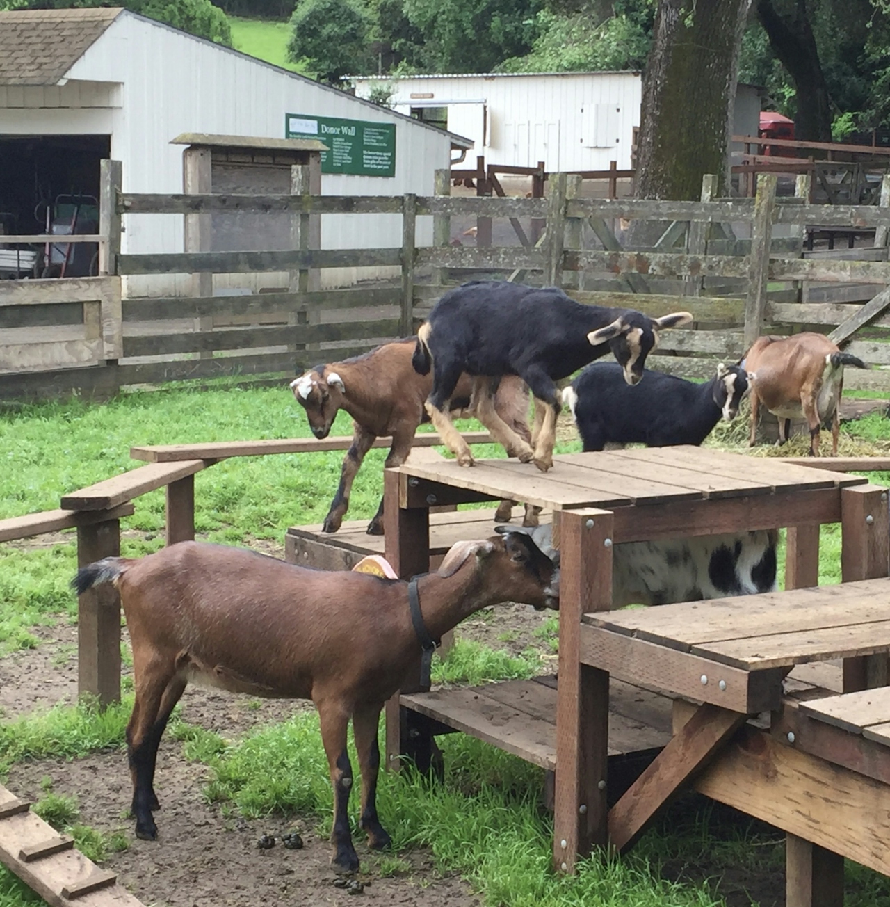
From the main parking lot, start along the Rancho San Antonio Bike Path. This hard-packed dirt trail curves alongside a paved service road, making this an accessible path for those with strollers or wheelchairs. Follow signs for Deer Hollow Farm and be on the lookout for deer and wild turkeys who frequent this stretch of trail.
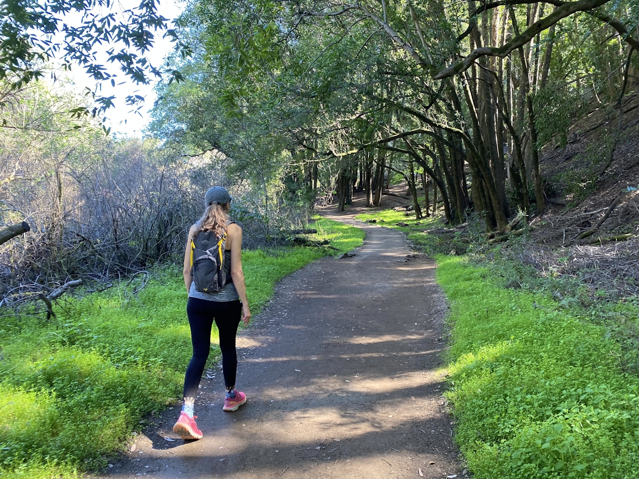
At the farm, take some time to enjoy this 160-year-old homestead, which includes adorable farm animals, herb and veggie gardens, and a covered picnic area for visitors.
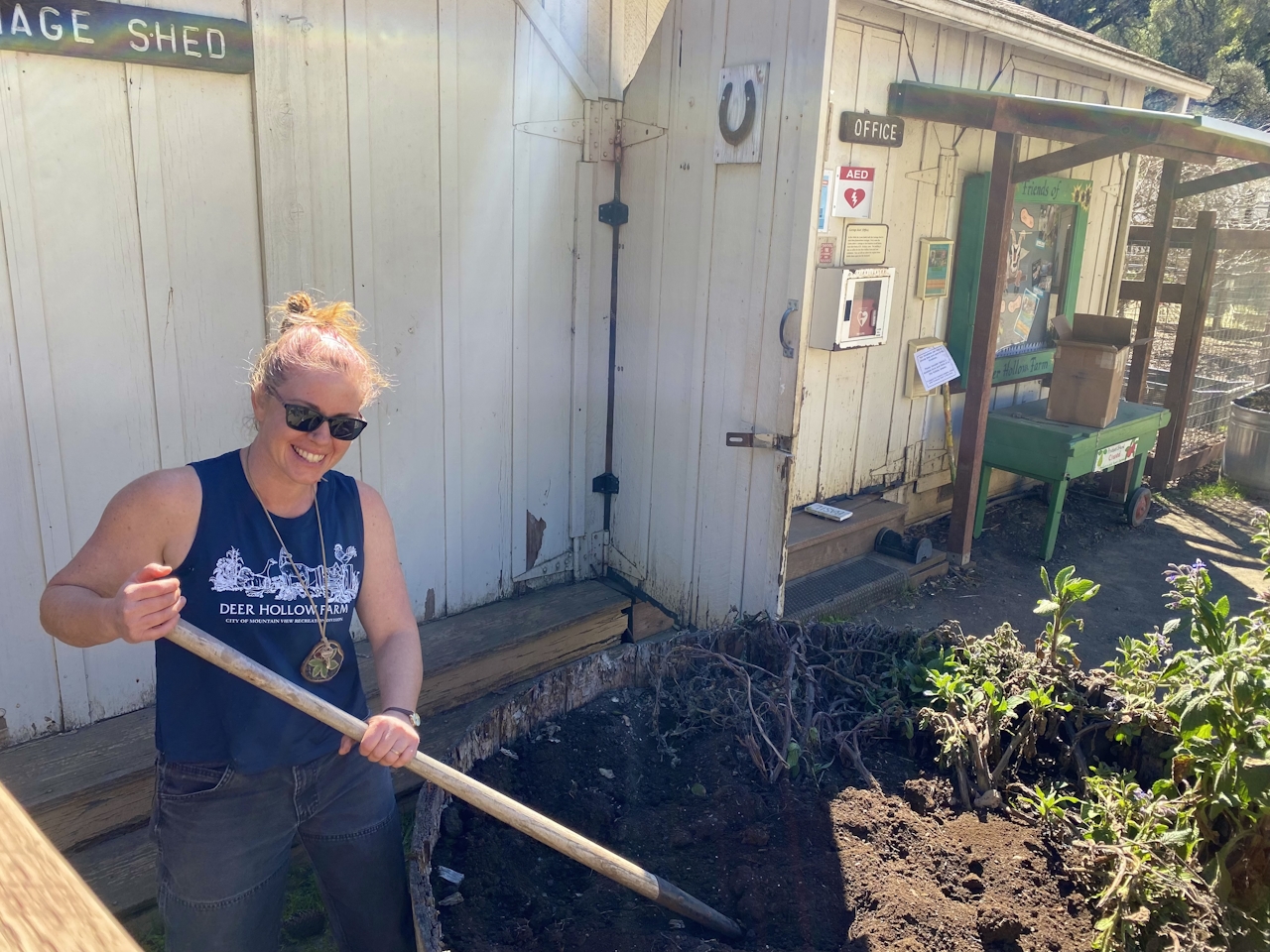
Continue onto Rogue Valley Trail, and then turn left onto the Wildcat Loop Trail. (Accessibility for wheelchairs and strollers ends at this point.) This series of wooded switchbacks leads hikers up to the High Meadow Vista Point, an open hilltop with a view of the Santa Clara Valley, San Francisco Bay, and the surrounding mountains.
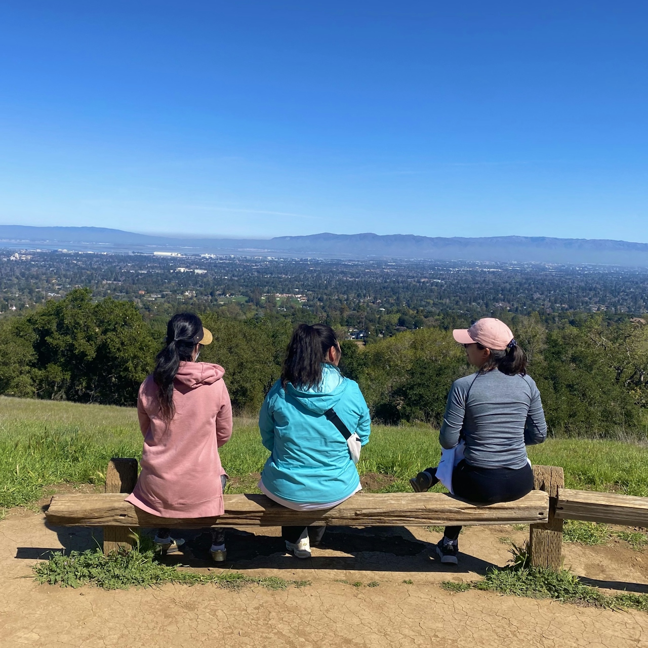
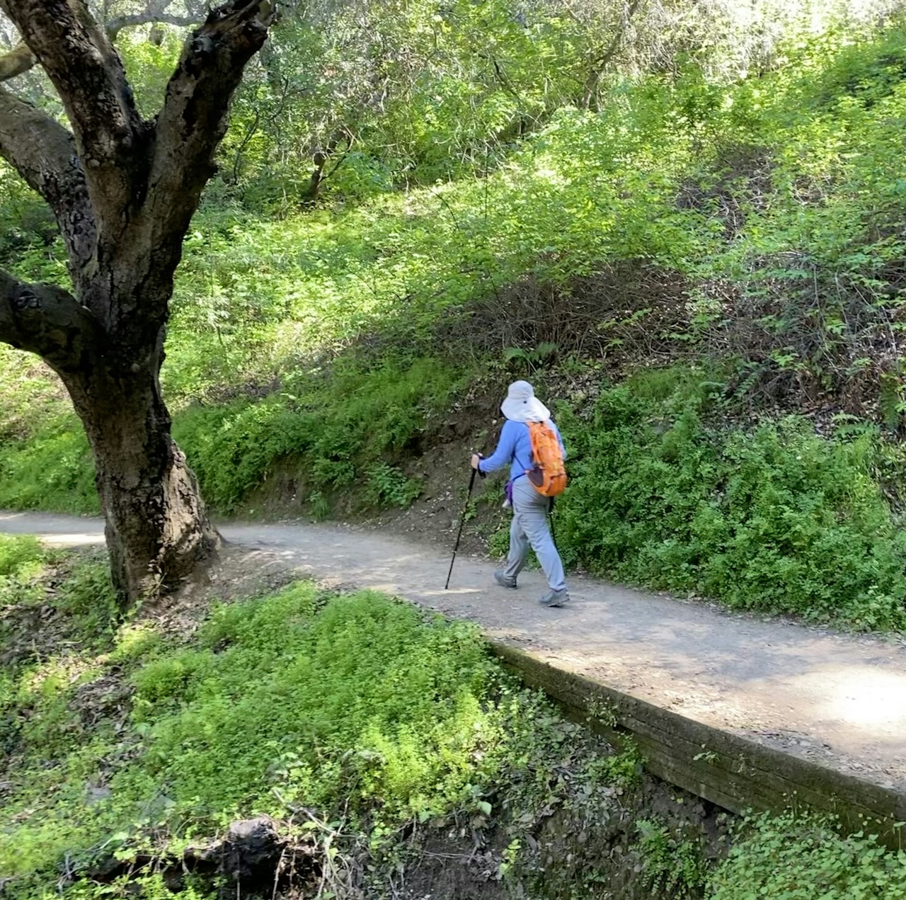
Once you’ve soaked up the scenery, continue along the Wildcat Loop Trail another mile before bearing right onto the Farm Bypass Trail. This shaded path leads hikers up above the farm, where you can still take in the sights and sounds, away from the crowds. Enjoy the first hints of springtime wildflowers as you follow Coyote Trail back to the parking lots, then turn left to return to the main lot.

Rancho San Antonio Open Space Preserve is located at 22500 Cristo Rey Dr., Cupertino. From I-280, take the Foothill Blvd. exit and proceed south on Foothill Blvd. for 0.2 mile. Turn right on Cristo Rey Dr. After about a mile, veer right at the traffic circle, and turn left into the park. Bicycles and horses are allowed on designated trails. No dogs.

Trending Stories NorCal

View all Stories
  1. Woman with her arms outstretched to the rolling hills scenery while on a rock outcrop at Barnabe Peak in Samuel P Taylor Sate Park in Marin

    Barnabe Bonanza

    Sure, there are higher mountains in Marin (Mount Tam) and easier ascents (Mount Burdell), but is there a more expansive North Bay view? Barnabe Peak in Samuel P. Taylor State Park offers a glorious panorama including Mount Tam, Mount Diablo, and Mount St. Helena.

    View
  2. Hiker on the SCA trail in Marin Headlands with view of the Golden Gate Bridge

    Headlands Over Heels

    People come from all over the world to get a glimpse of the Golden Gate Bridge. Get a dramatic and novel view of the bridge without all the people on this moderate 6-mile hike in the Marin Headlands.

    View
  3. Cheers to Chimney

    If you’re looking for all that Point Reyes has to offer in spring, Chimney Rock is the place to be. The 1.75-mile (round-trip) hike to Chimney may be short, but it packs a visual punch, quadrupling the viewing thrills during spring.

    View

Trending Stories SoCal

View all Stories
  1. Woman hiking the San Onofre Bluffs Loop Trail to San Onofre State Beach in San Diego County

    Bluffing Good!

    Lovely coastline, beautiful beaches, unique geological history, and picturesque sandstone cliffs with limited foot traffic in San Diego County? Head to San Onofre State Beach and the 5-mile San Onofre Bluffs Loop Trail.

    View
  2. Can We Get a Whoop Whoop!

    City, mountain, and ocean views all in one hike? Whoop whoop! It’s no surprise the the Kenter Fire Road and Whoop-de-Doos Trail (a combo of fire road and singletrack) is a favorite among local mountain bikers and hikers alike.

    View
  3. The Big Chill

    In LA, finding a place to chill can be the ultimate flex. So flex, in Franklin Canyon! This unexpected oasis has plenty of shade, cool lake breezes, and ample picnicking spots. Enjoy it on an easy-going 1-mile stroll along its reservoir and duck pond.

    View





