Diamond of a Hike
Hike Diamond Bar Loop in Los Angeles County


The 1.5-mile Diamond Bar Loop might be located in the center of Diamond Bar, but once you get out on the trail it’s easy to forget you’re in the thick of a busy place.
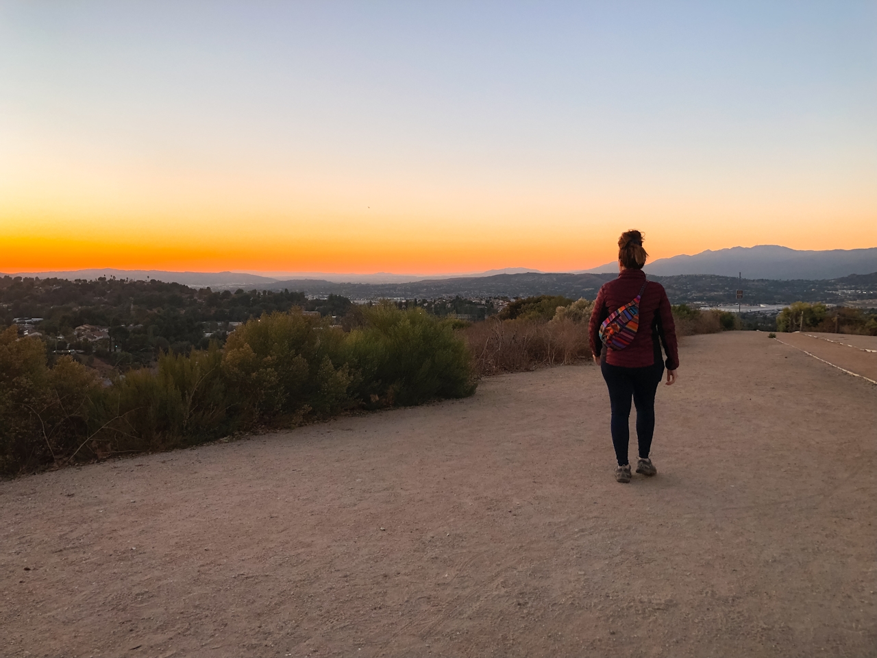
The trail can be hiked in either direction, and there is no benefit to choosing one way over the other, though from the parking lot it’s easier to see the clockwise loop trail entrance (near the gazebo and signage in the far corner of the lot).
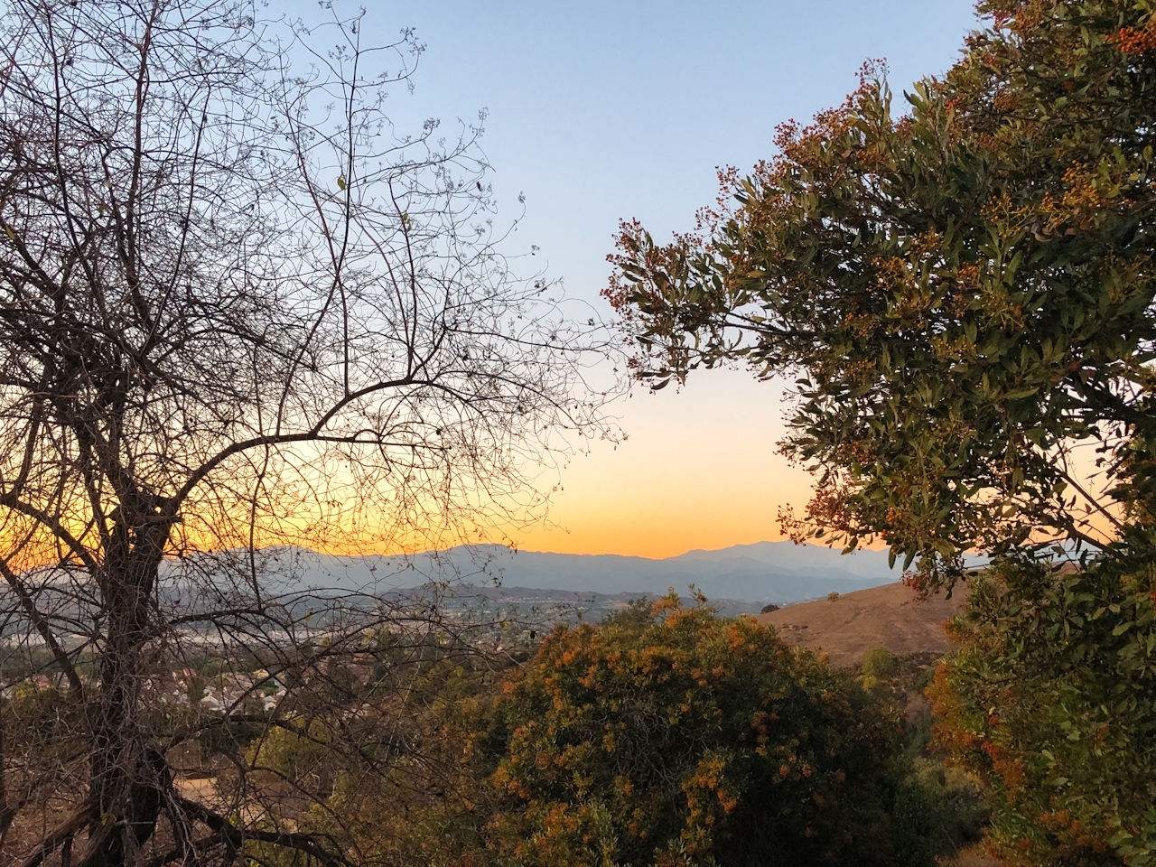
As the trail leaves the literal Diamond Bar City Center in Summitridge Park, it quickly drops down into the coast live oak woodland community of the canyon floor, with towering oak and sycamore trees. It passes through the bottom of the canyon briefly before beginning the climb back up along hillsides covered in cactus, mustard, sage, deer grass, and toyon (also known as California holly due to their similar appearance).
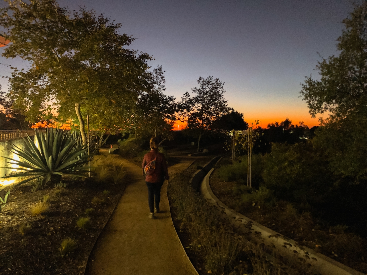
Overall the trail gains 337 feet in elevation but with frequent breaks to enjoy the setting sun, it doesn’t feel all that bad. Eventually the trail will hit a T-intersection with the Canyon Loop Trail, where you’ll head right, continuing your clockwise loop journey. Before long you’ll see a fork in the trail with the right fork heading towards the Diamond Bar Center. Take that fork and follow it all the way back to the parking lot! {NOTE: You will be in a different area of the parking lot when you finish, so just follow the path near the building to get back to where you started.} For the best sunset experience, head clockwise on the trail and aim to be on the second half of your hike by the official sunset time, that way you’ll be on the high ground during the peak colors of sunset. The parking lot closes 30 minutes after sunset, so mind your time!
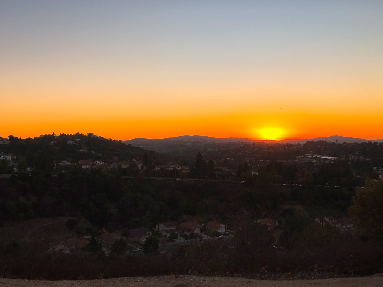
The Diamond Bar Loop Trail is located in Summitridge Park at Diamond City Center. Map. Parking lot closes 30 minutes after sunset, so be sure to time your hike accordingly (on average, this trail takes about 1 hour). Dog-friendly.
Story and photos by Natalie Bates, @wanderwithnatalie







