Dos Picos

Hike Dos Picos County Park in Ramona, northern San Diego County

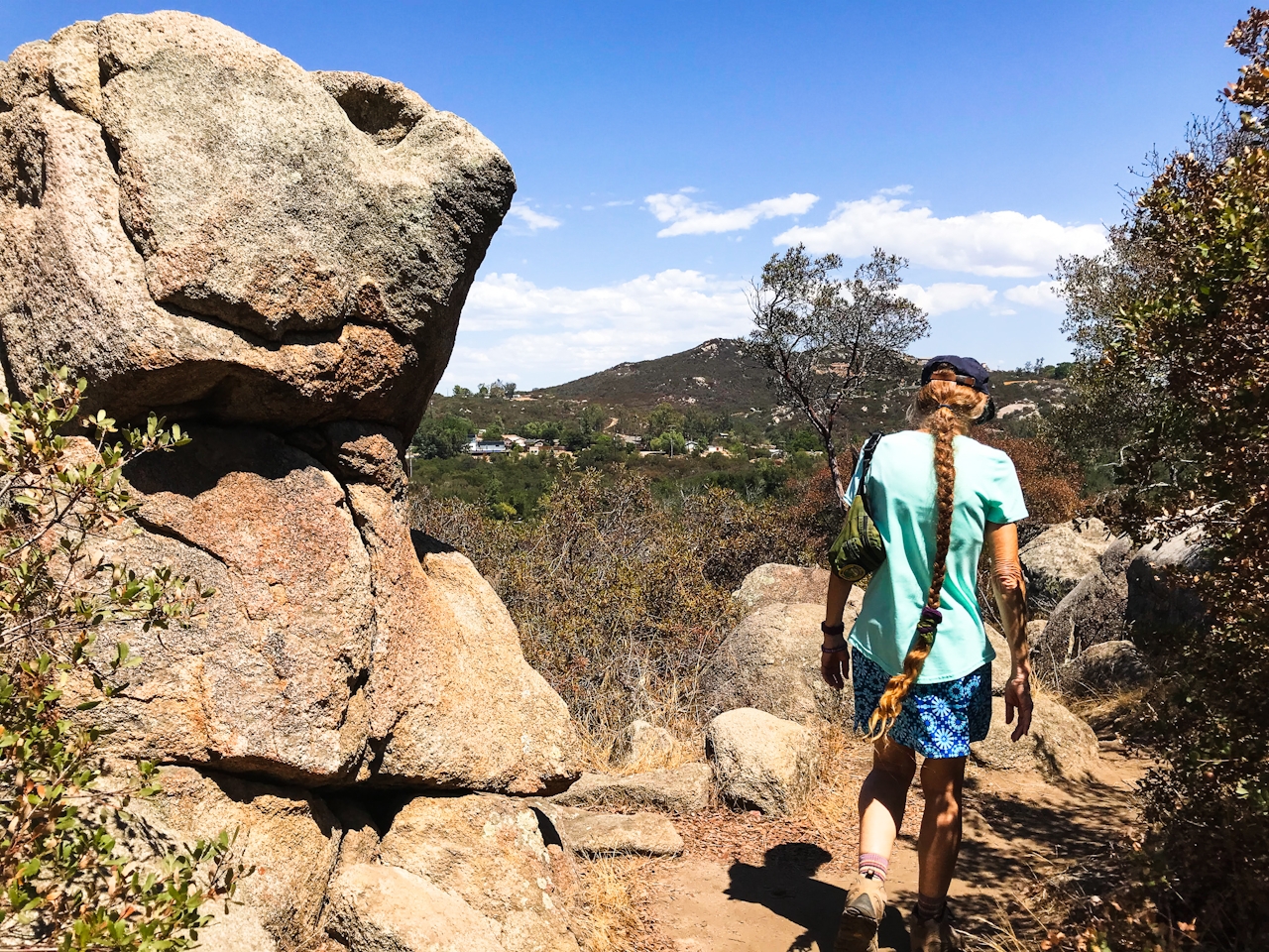
Hiker at Dos Picos County Park in San Diego County

Ramona has two of the most popular peak trails in all of San Diego County—Mount Woodson’s Potato Chip Rock and the Iron Mountain summit—but for those seeking a gentler, more hidden hike, the 1.4-mile loop around Dos Picos County Park is a small yet mighty gem.
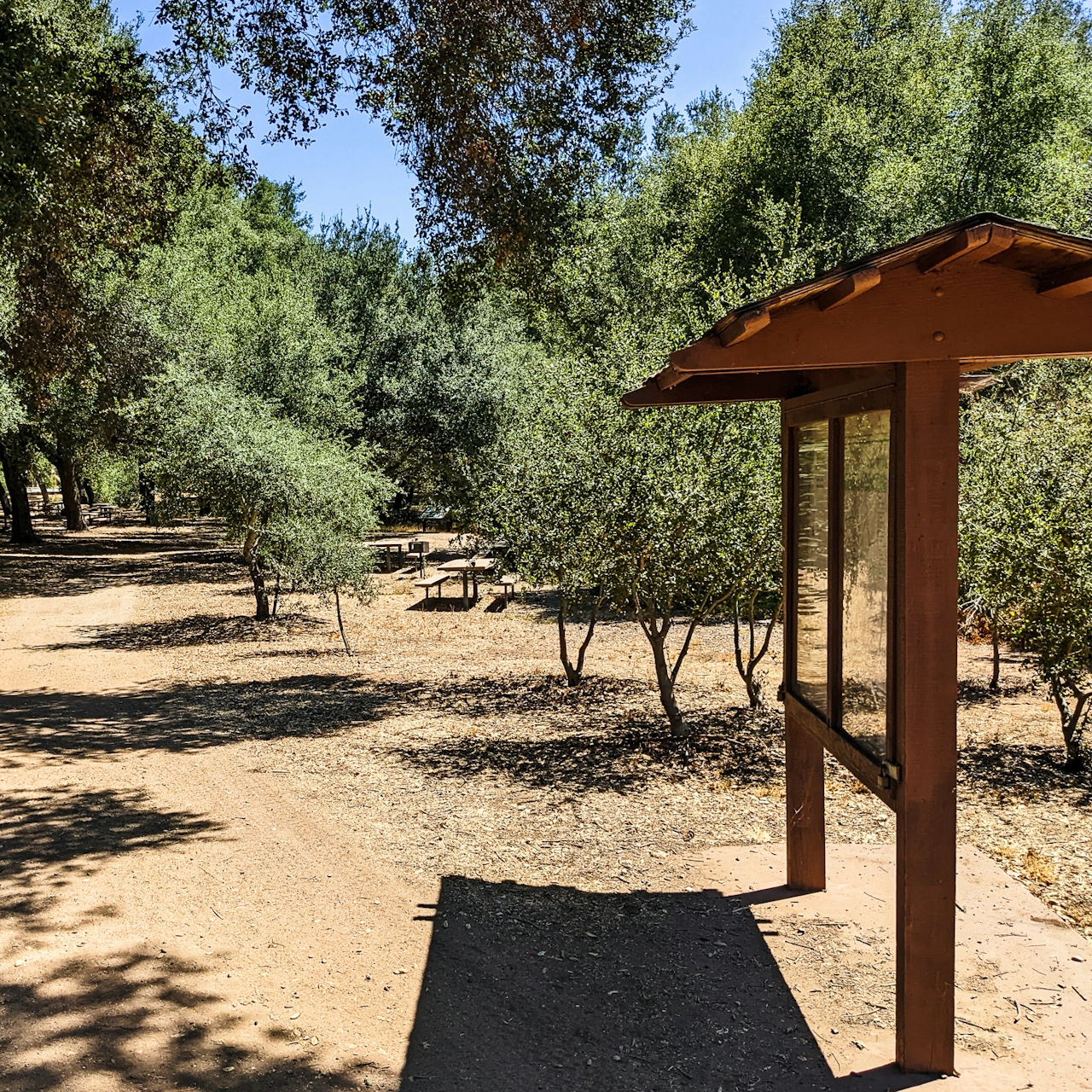
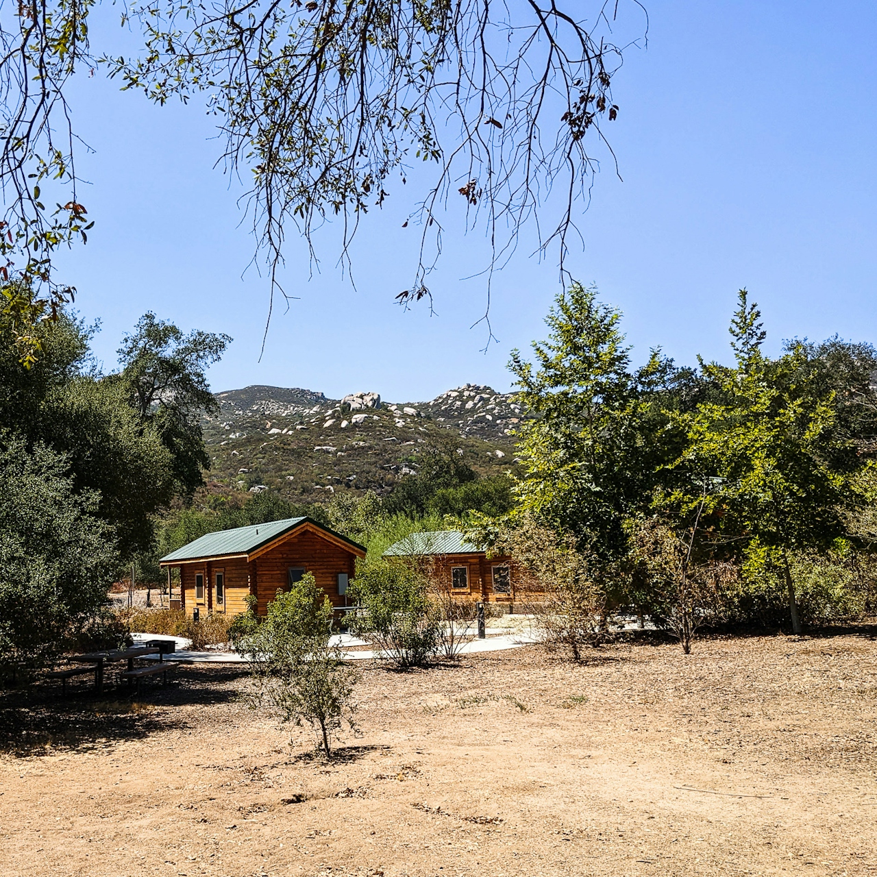
Start at the 78-acre Dos Picos County Park (parking is $3). The park is a very popular local camping destination, with manicured grounds for pitching a tent and charming cabins to rent. Start at picnic area #2 and cross the stream bed to get to the nature trail loop and head right (west). You’ll do some climbing on a paved road before reconnecting with the narrow trail. Look for a sign that says Ernie Pantoja Memorial Trail across from a large outcropping of boulders. 
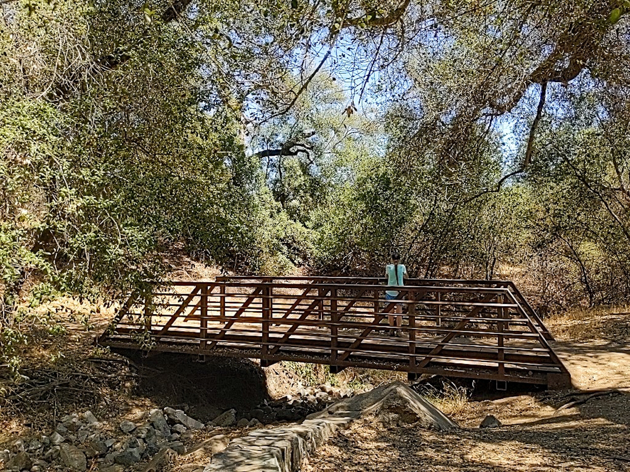
Hiker crossing a bridge at Dos Picos County Park in San Diego County

The path climbs, and you get views of the surrounding hills and ranchland. Look for two prominent peaks that give the park its name (dos picos is “two peaks” in Spanish). Keep following signs for the nature trail, and after descending through oak woodland, be sure to veer off to check out the pond, which often has plenty of resident waterfowl, from ducks and geese to coots and snowy egrets.
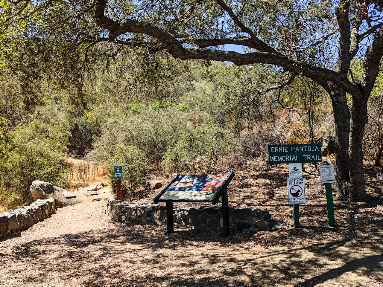
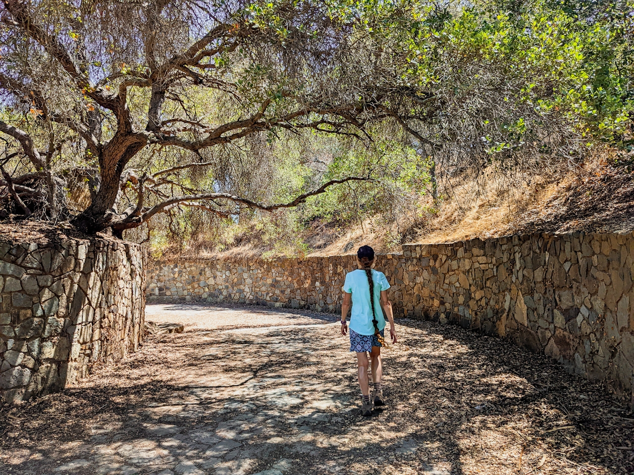
Back on the nature loop, follow a well-crafted stone-lined path under oaks to a footbridge, a gorgeous surprise along the trail. Swing around the south of the pond and past a gazebo to retrace your steps to the starting point.
To get to Dos Picos County Park, take the I-15 to the Poway Rd. exit and head east. After 8.9 miles, turn left onto the CA-67 and after 5.6 miles, turn right onto Mussey Grade Rd. for 1.1 miles followed by a slight right onto Dos Picos Park Rd. (the park will be on your left, look for signage). Dog-friendly!

Story and photos by Matt Pawlik, @mattitudehikes

Trending Stories NorCal

View all Stories
  1. Woman with her arms outstretched to the rolling hills scenery while on a rock outcrop at Barnabe Peak in Samuel P Taylor Sate Park in Marin

    Barnabe Bonanza

    Sure, there are higher mountains in Marin (Mount Tam) and easier ascents (Mount Burdell), but is there a more expansive North Bay view? Barnabe Peak in Samuel P. Taylor State Park offers a glorious panorama including Mount Tam, Mount Diablo, and Mount St. Helena.

    View
  2. Tamtastic Sunset

    Sure, the East Peak of Mount Tam is absolutely spectacular at sunset, but some magic-hour enthusiasts head to a nearby spot, Trojan Point, for a little more personal space in their panoramic viewings.

    View
  3. Hiker on the SCA trail in Marin Headlands with view of the Golden Gate Bridge

    Headlands Over Heels

    People come from all over the world to get a glimpse of the Golden Gate Bridge. Get a dramatic and novel view of the bridge without all the people on this moderate 6-mile hike in the Marin Headlands.

    View

Trending Stories SoCal

View all Stories
  1. Lagoon Swoon

    We all love an underdog story, especially in the shadow of the greats. Enter a truly SoCal coastal version: Malibu Lagoon State Beach. Though situated next to Surfrider Beach, a fa

    View
  2. Woman hiking the San Onofre Bluffs Loop Trail to San Onofre State Beach in San Diego County

    Bluffing Good!

    Lovely coastline, beautiful beaches, unique geological history, and picturesque sandstone cliffs with limited foot traffic in San Diego County? Head to San Onofre State Beach and the 5-mile San Onofre Bluffs Loop Trail.

    View
  3. Can We Get a Whoop Whoop!

    City, mountain, and ocean views all in one hike? Whoop whoop! It’s no surprise the the Kenter Fire Road and Whoop-de-Doos Trail (a combo of fire road and singletrack) is a favorite among local mountain bikers and hikers alike.

    View