Numero Bruno
Hike for Big Bay Area Views and Seasonal Wildflowers at San Bruno Mountain


Just minutes from San Francisco, San Bruno Mountain is like an island of nature amid a sea of urban bustle. Surrounded by freeways and an airport, this high-riser beckons with a secluded 3.5-mile hike. With wildflower season starting to kick into high gear, spring is an ideal time to hike this floral wonderland.
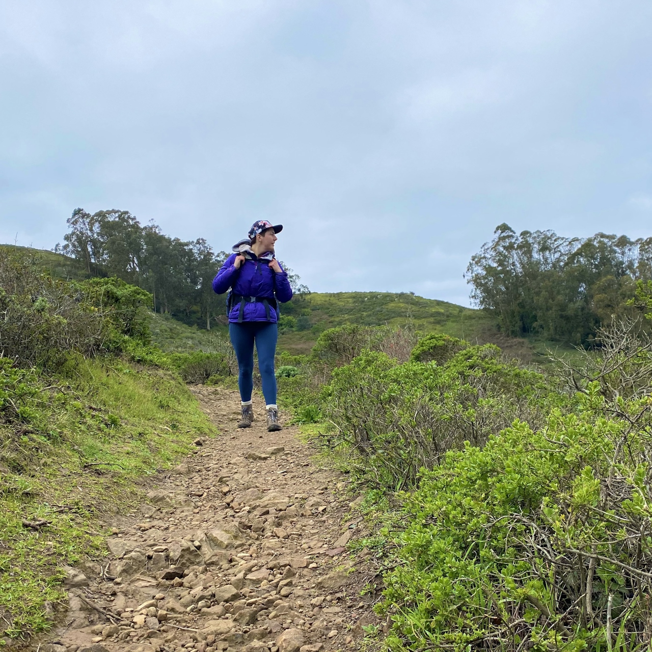
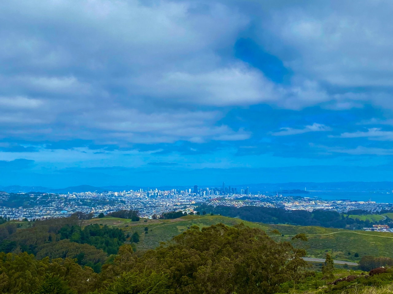
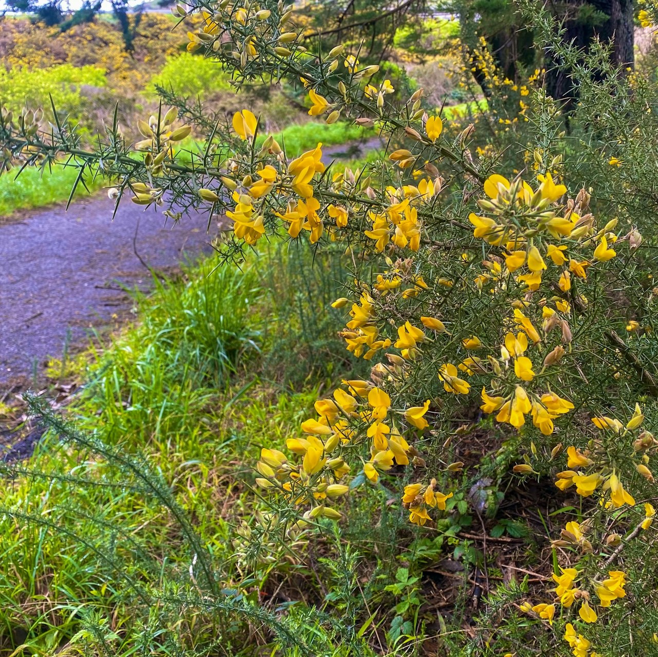
From the main parking area, follow signs for the summit as you wend below the highway and past a field of brilliant yellow gorse flowers. At the intersection with the Summit Loop Trail, keep left to begin ascending the east side of the loop via a series of switchbacks leading through a eucalyptus forest. Soak up the minty scent before the trees give way to huge open views of San Francisco Bay. On clear days, you can see all the way across the water to Oakland.
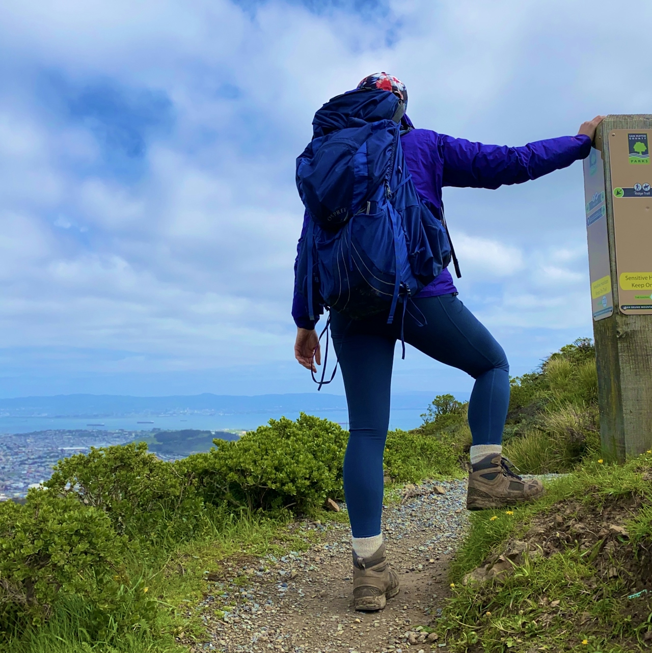
Continue up the Summit Route Trail—lined with massive white-flowered hogweed bushes— until it intersects with Radio Road. This high point was once the location of a military radar site but now houses several transmitter towers. For the best views, turn left on Radio Road and soak up views of the Pacific Ocean and the San Francisco Peninsula to the west. To the northeast lies a beautiful panorama of San Francisco’s skyline, Treasure Island, and the Bay Bridge.

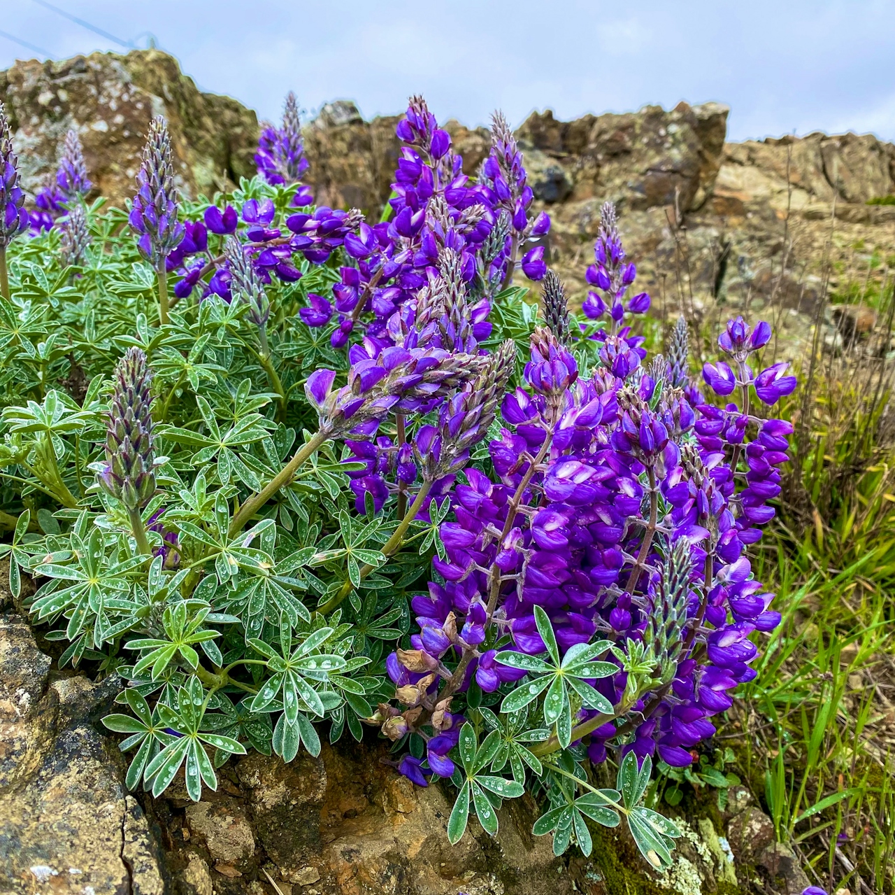
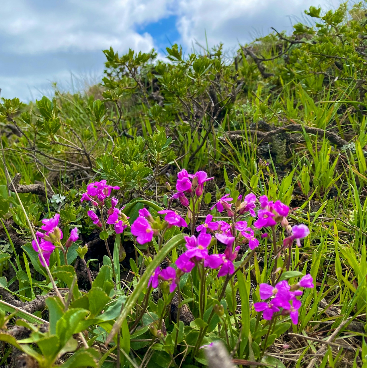
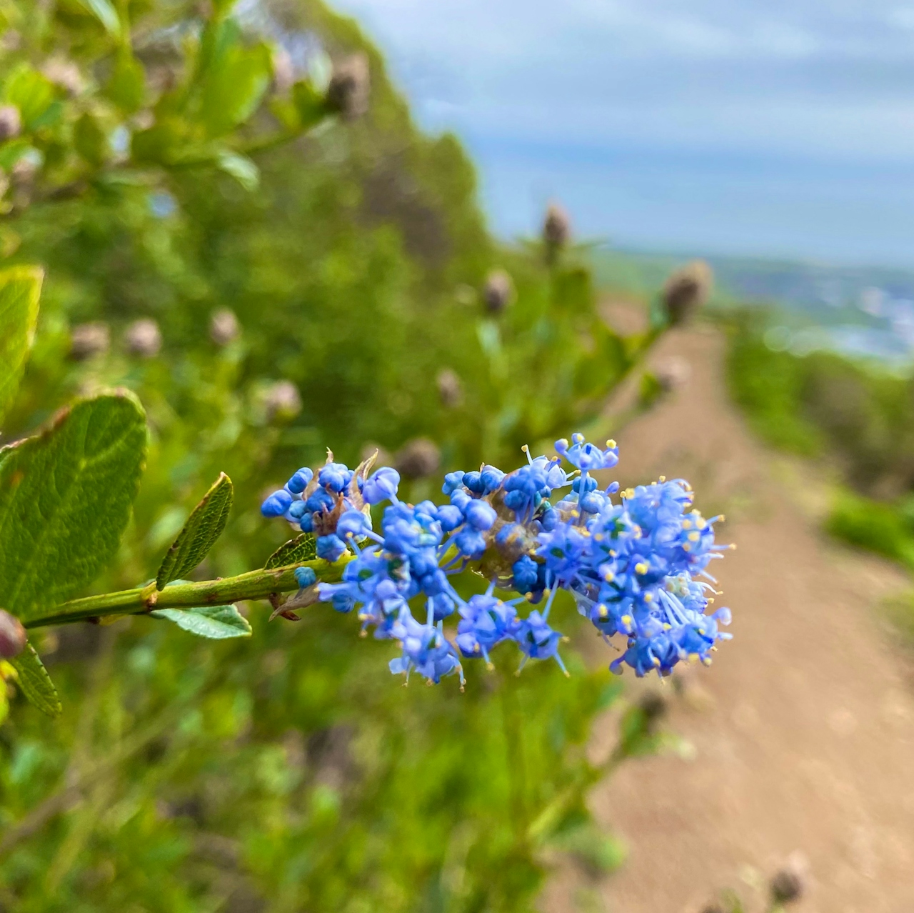
Keep going along Radio Road until it turns into a dirt path, then turn left onto the Ridge Trail. March through May is the best time to spot wildflowers: lupine, poppy, and ceanothus bring bright pops of purple, orange, and blue to the landscape. Turn right onto Summit Loop Trail and begin descending, relishing one of the best spots for a premier look at San Francisco surrounded by the water. At the intersection with Dairy Ravine Trail, turn right and follow the trail back down into the eucalyptus forest to the highway before retracing your steps back to the parking area.
San Bruno Mountain Park is located at 555 Guadalupe Canyon Pkwy. in Brisbane. From US 101, exit toward Cow Palace and merge onto Bayshore Blvd. Turn right onto Guadalupe Canyon Blvd., and after 2 miles, turn right into the picnic area and parking lot. A vehicle entry fee (check site for entry fee waivers) is collected at the gate. Bikes are not allowed on dirt trails. No dogs.
Story and photos by Heather Werner, @heath.er.wer.ner







