Lighthouse at the end of the Tunnel
Hike in the Marin Headlands


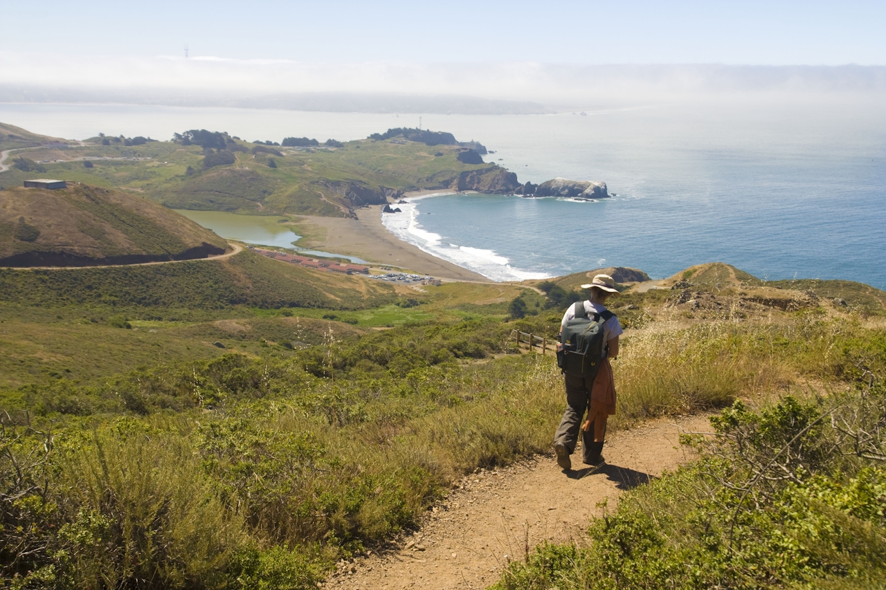
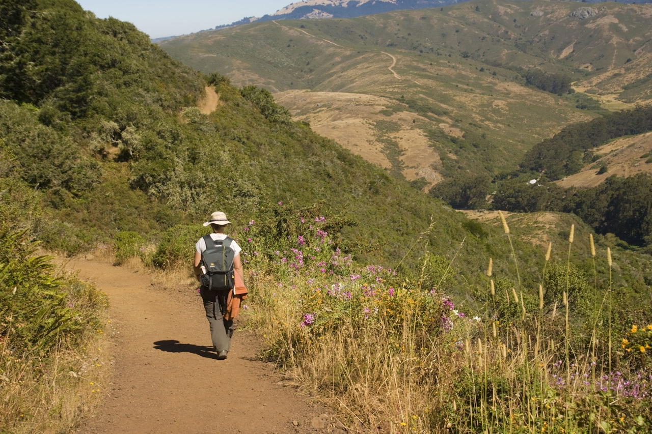
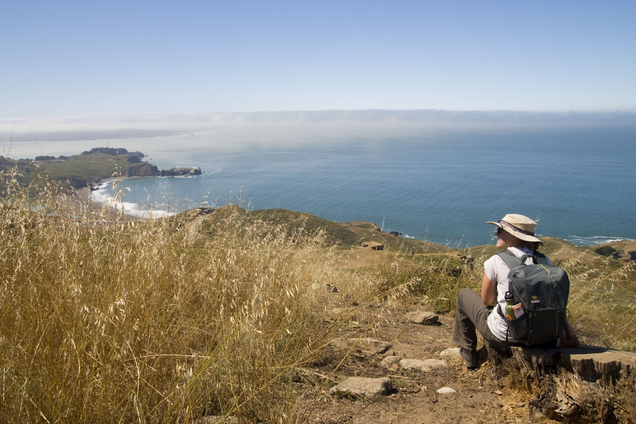
Round up the best of the Marin Headlands on this 8-mile loop alongside dramatic coastline, jutting cliffs, and iconic Golden Gate vistas to 160-year-old Point Bonita Lighthouse. Begin at the Marin Headlands Visitor Center and briefly take the Lagoon Trail north (look for river otters!) to Miwok Trailhead. A winding fire road ascent through Gerbode Valley levels at the junction with Wolf Ridge, where a left turn unveils wild and ever-widening views of the lower valley, Rodeo Lagoon, and thunderous waves crashing onto a distant Rodeo Beach below. Descend via the Coastal Trail, taking time to explore the spits of land on its periphery.
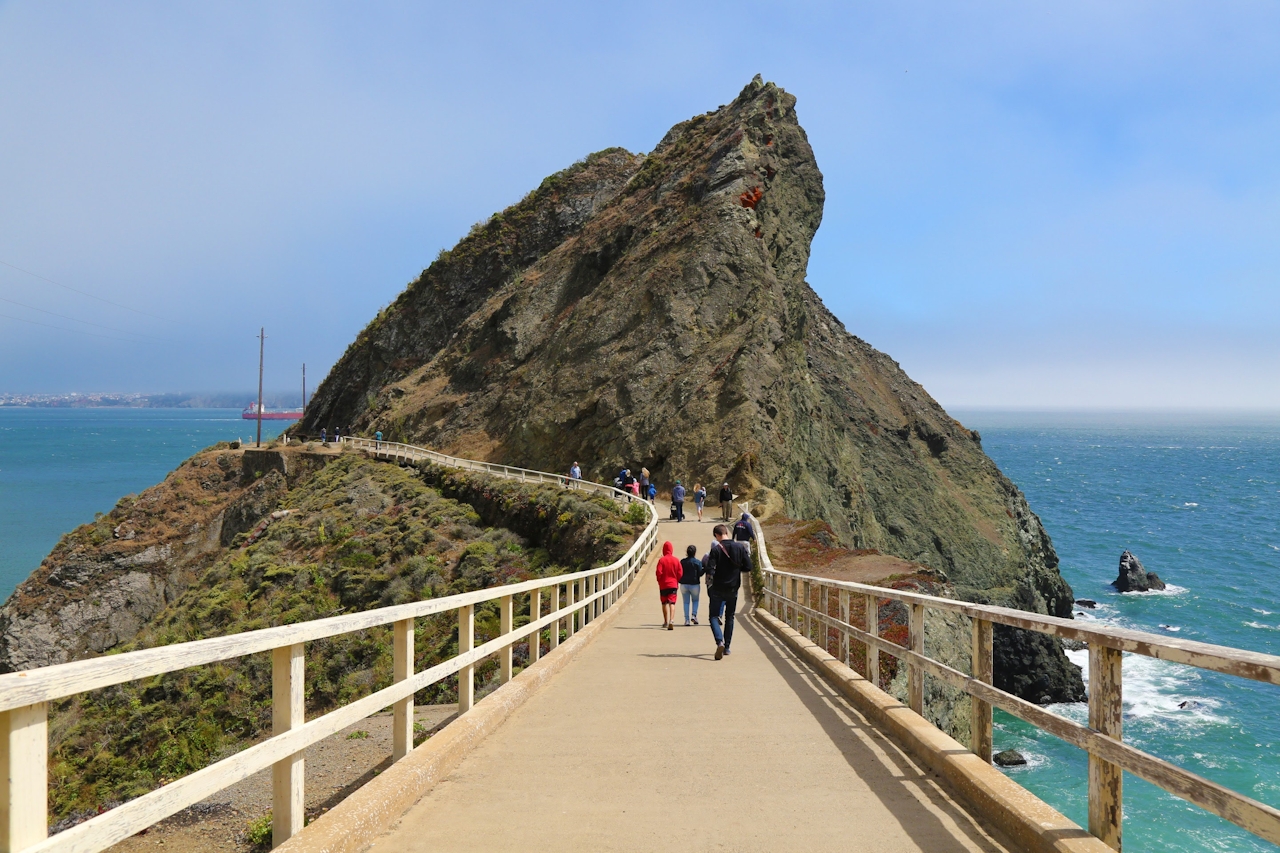
From their tips, the Lighthouse can be seen shining through a keyhole between the Headlands and Bird Island. To get there, cross to the southern end of Rodeo Beach and hike along an unnamed trail and paved road past the YMCA and Battery Mendell. A 0.5-mile trail parallels the Golden Gate Bridge above Bonita Cove, descending sharply through a tunnel and over a suspension bridge to the Lighthouse. Stately, picturesque, and historic, this sublime spot at the world’s end offers a ruggedly beautiful conclusion to the hike before returning along the road to the visitor center parking lot.
Park for free at the Marin Headlands Visitor Center and head north along the Lagoon Trail behind the bathrooms. Cross Bunker Rd. and continue right onto Miwok Trail. Turn left onto Wolf Ridge and at the fork, stay left and descend via Coastal Trail to Rodeo Beach. Cross to the southern end of the beach and follow an unnamed trail to a paved road past the YMCA and Battery Mendell. A 0.5-mile trail at its southernmost point leads to Point Bonita Lighthouse. The tunnel to the lighthouse is open Saturdays, Sundays, and Mondays from 12:30 p.m. to 3:30 p.m. only. Return along Field Road to the visitor center parking lot. Dogs allowed on beach as well as Lagoon, Miwok, Wolf Ridge, and Coastal trails. No dogs at Lighthouse.







