Bello from the Hills

Hike Monte Bello Open Space Stevens Creek Trail

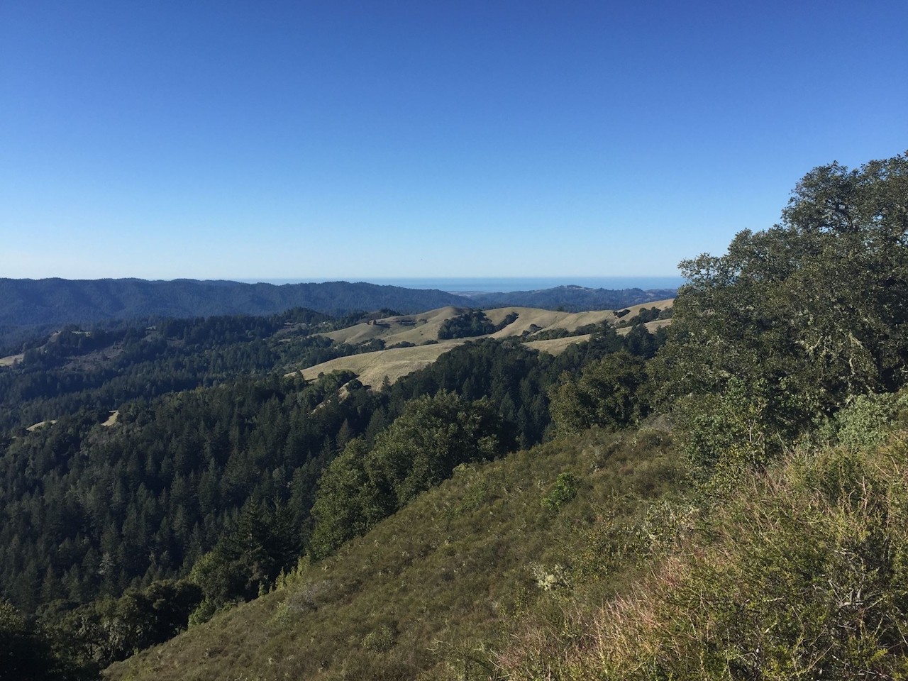
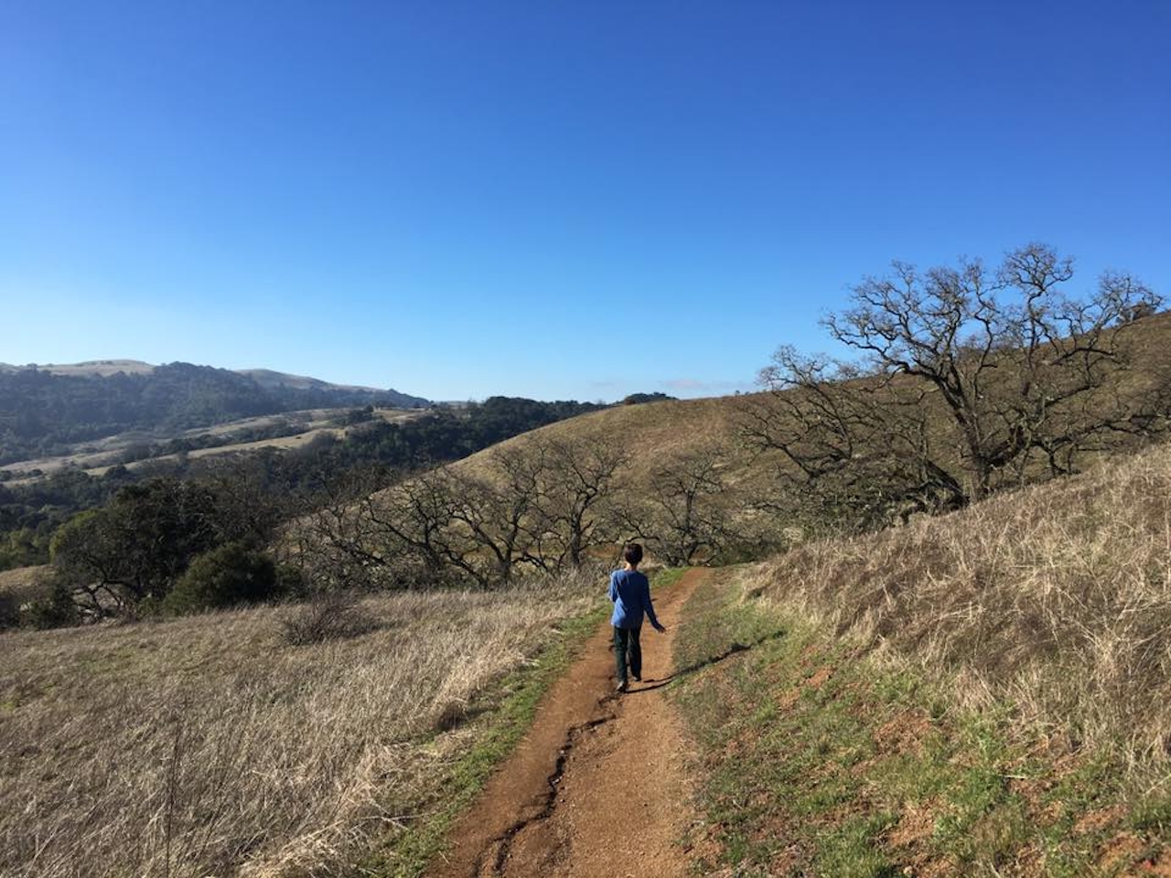
Vast rolling hills, serene forest, breathtaking vistas, and hardly any people … it’s not hermit-ville, it’s hiker-ville! Monte Bello Open Space Preserve in the South Bay spans 3,436 acres. Thank the Midpeninsula Regional Open Space District, who obtained the area in 1975. They knew a good thing when they saw it: Monte Bello means “beautiful mountain” in Italian. Today Monte Bello is home to numerous trails, including connections to neighboring open spaces, Long Ridge and Rancho San Antonio.

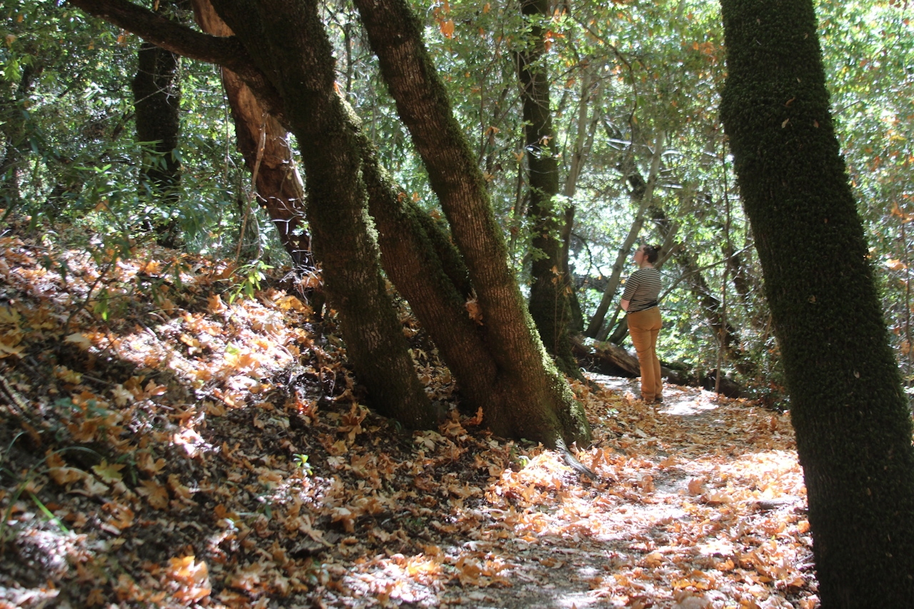
A good way to get the lay of the galloping landscape and the canyon creek scenery, hike the well-marked and uncrowded 3-mile Stevens Creek Nature Trail. The trail is a loop, so you can turn either way at the trailhead sign, though we recommend starting off to the right and continuing down into a quiet wooded canyon dense with oaks, bays, and madrone trees. You’ll parallel Stevens Creek before making your way back up above the forest, returning along the San Andreas Fault and gaining sweeping vistas of the Santa Cruz Mountains, including Mount Umunhum and Loma Prieta, more commonly known as the epicenter of 1989’s earthquake.
BONUS: Stretch your hike and go long by taking the Bella Vista Trail or Indian Creek Trail to Black Mountain and connecting to Rancho San Antonio Open Space Preserve. Or opt for the Grizzly Flat Trail, which will take you through Upper Stevens Creek County Park and connect you to the Long Ridge Open Space Preserve. Check the map.

Monte Bello’s parking lot is on Page Mill Rd. (map). Additional parking can be found across the street at the Los Trancos Open Space Preserve parking area. Your path to the trail is easily accessed from the parking lot. No dogs.

Trending Stories NorCal

View all Stories
  1. Barbary Coast Trail medallion hike in San Francisco

    Medallion Walk SF

    The Barbary Coast Trail is a 3.8-mile historical walk and treasure hunt through San Francisco. Be on the lookout for hubcap-sized bronze medallions placed on the city sidewalks with arrows pointing you in the right direction.

    View
  2. Greater by the Dozen

    This hike is anything but a dime a dozen. The all-new "Golden Gate Dozen Trail" links 12 National Park sites on a spectacular 13-mile journey across San Francisco's coastline.

    View
  3. Inn-spiration Point!

    For more than a century, people have been hiking or mountain biking to West Point Inn for good reason. Perched at 1,785 feet on the southern slope of Mount Tamalpais, the historic inn has sweeping views from the Marin Headlands to the San Francisco skyline.

    View
  4. A Thousand Steps to Paradise

    A picture is worth a thousand words, but is a gorgeous beach in Laguna worth a thousand steps? The answer is yes, though the question is moot, because it’s only 223 steep steps down to the 400-yard stretch of sand known as 1000 Steps Beach.

    View

Trending Stories SoCal

View all Stories
  1. Roaring Redwoods

    Tucked next to brilliant Henry Cowell Redwoods State Park in Santa Cruz, the folks at Roaring Camp Railroads had a bright idea: When the sun goes down, the rainbow lights come up. Sequoias at Night brings big magic to some of the tallest trees in the world.

    View
  2. There's Always To Moro!

    Looking for a rock-solid itinerary in Sequoia National Park? Pair the park's most famous viewpoint with one that's often overlooked.

    View
  3. Rancho Style

    Vicente Bluffs Reserve dazzles anytime, but during the golden hour it’s an absolute knockout. Majestic rocky bluffs, dreamy ocean views, and a picturesque lighthouse are just a few of the reasons.

    View
  4. Hike to the Sierra Buttes Fire Lookout in the Lakes Basin

    Lookout for This View!

    Sierra Buttes Lookout, at a lofty 8,591 feet, is a memory maker for its pucker-worthy stairway to the tower’s balcony. It's a 5-mile (round-trip) hike to reach it. And the reward? Epic!

    View