Morning Sun and a Mimosa

Hike the Morning Sun and SCA Trails in the Marin Headlands

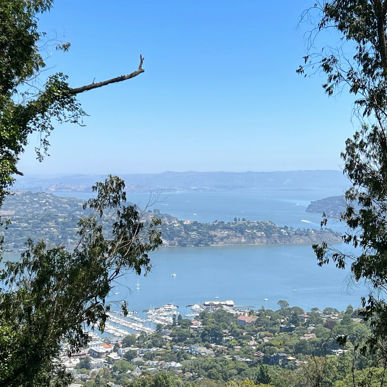
Maybe you’ve strolled the Sausalito waterfront, but have you ventured up the forested stairway trail to beautiful bay views and the headlands? Get an early start (parking fills quickly!) and hike the Morning Sun Trail, which switchbacks for half a mile up through an oak forest with peek-a-boo views of the bay.
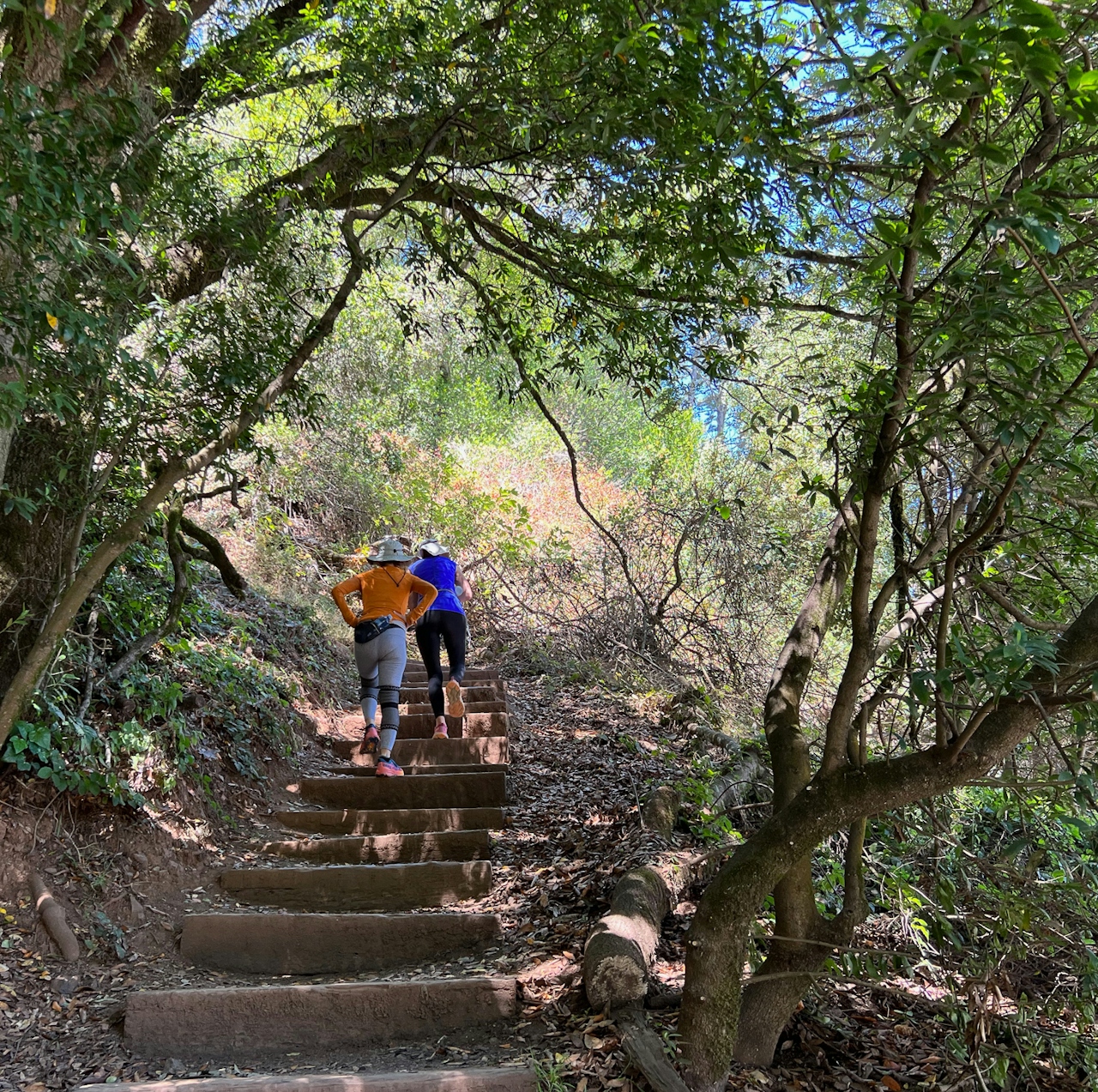
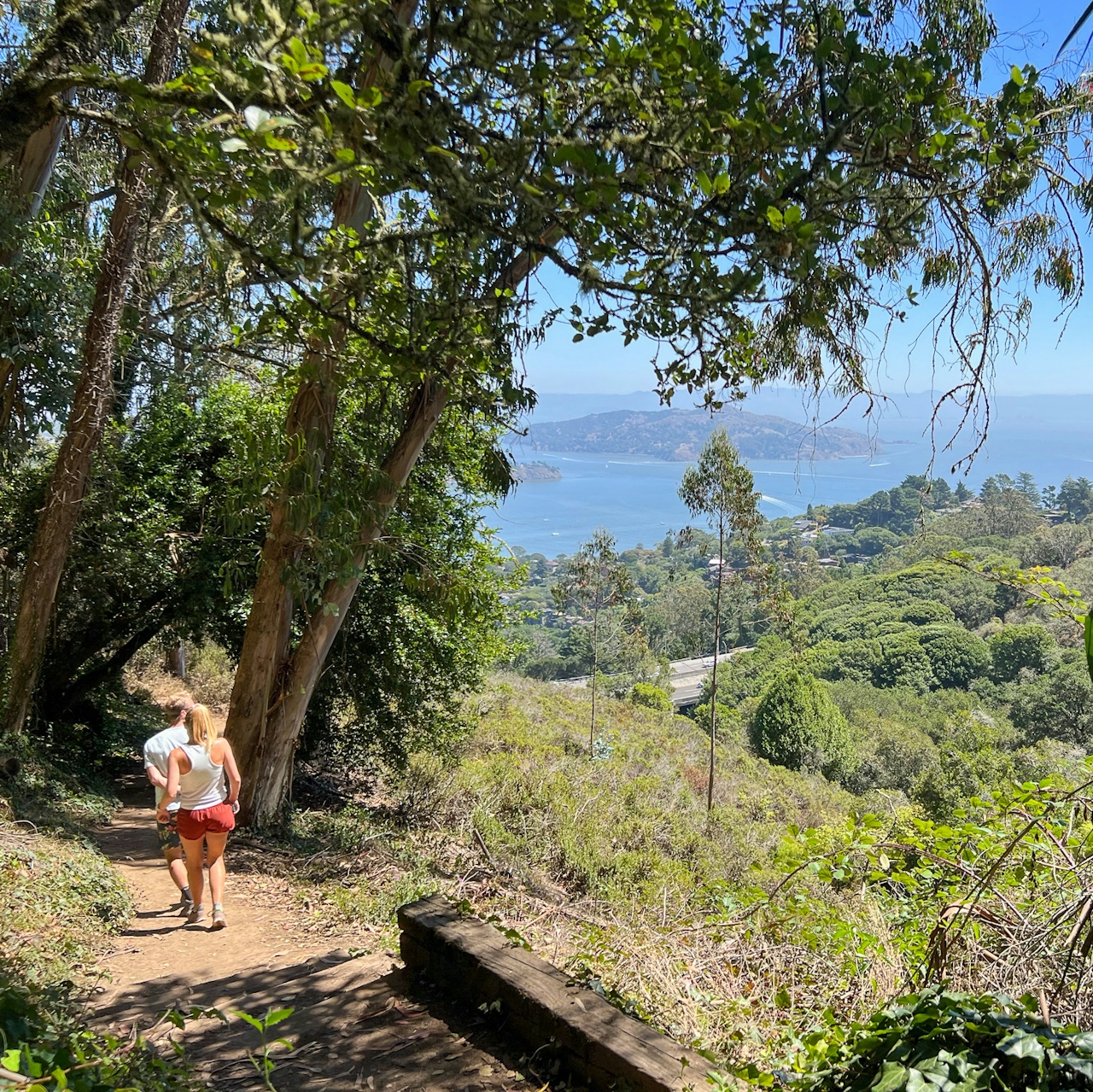
Two hikers go up the stairsteps on the Morning Sun Trail in Sausalito

Morning Sun Trailhead hikers in Sausalito

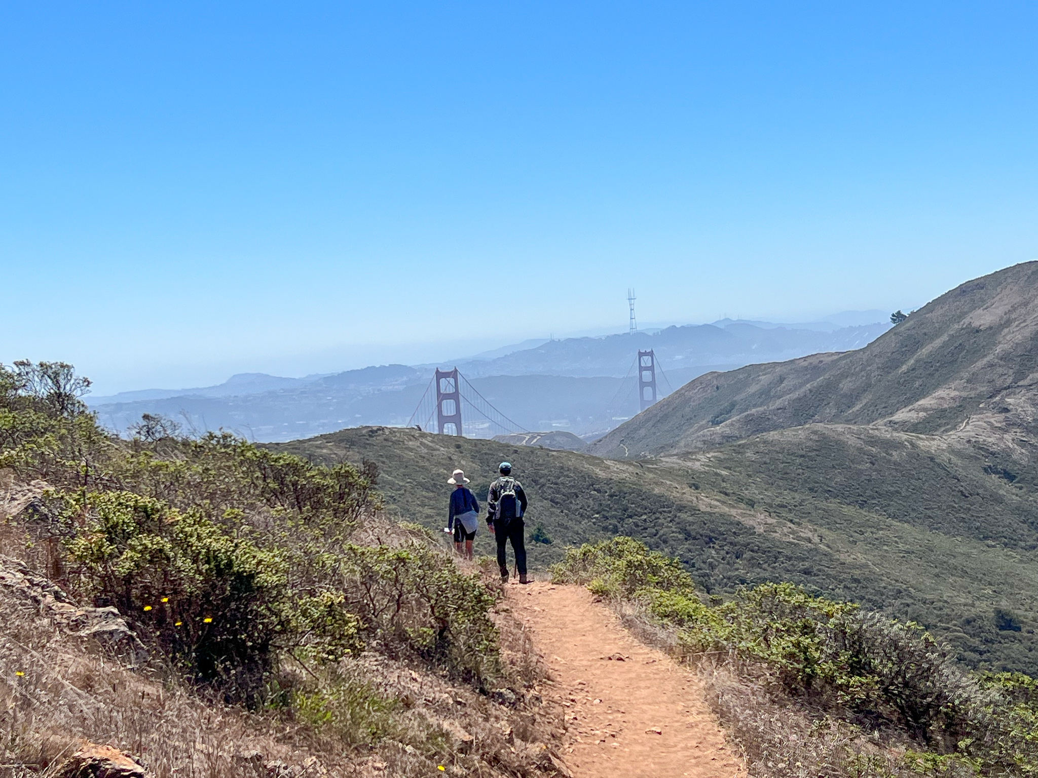
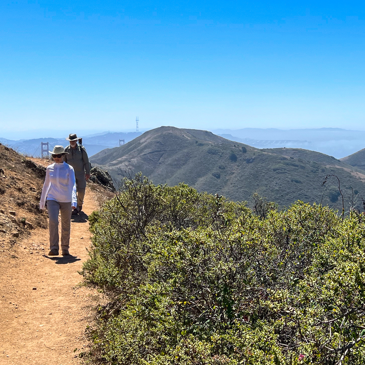
Signs point the way to the SCA Trail, which travels along a ridge with classic views of the Pacific and the Golden Gate Bridge. Soak up the scenery—it’s some of the best in the Bay Area. Keep following the SCA Trail to descend all the way to the Golden Gate Bridge. When you reach Conzelman Road, you’ll cross it and keep following the Coastal Trail to the Golden Gate Bridge.
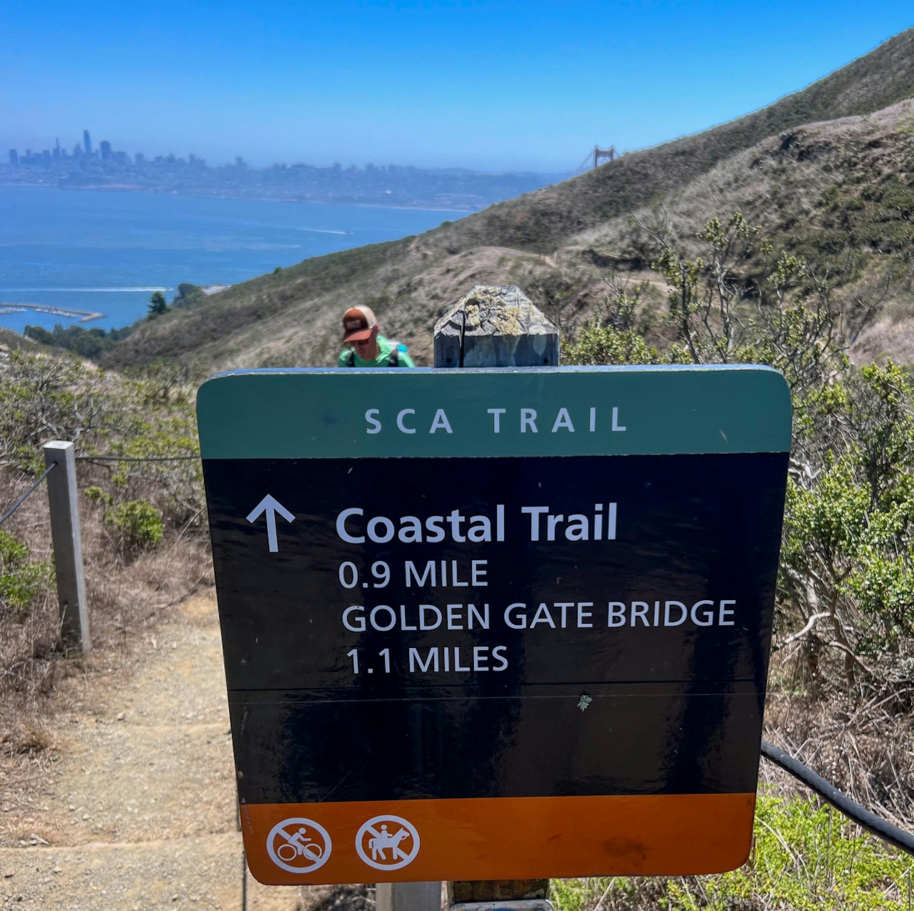
Sign for the SCA trail in the Marin Headlands

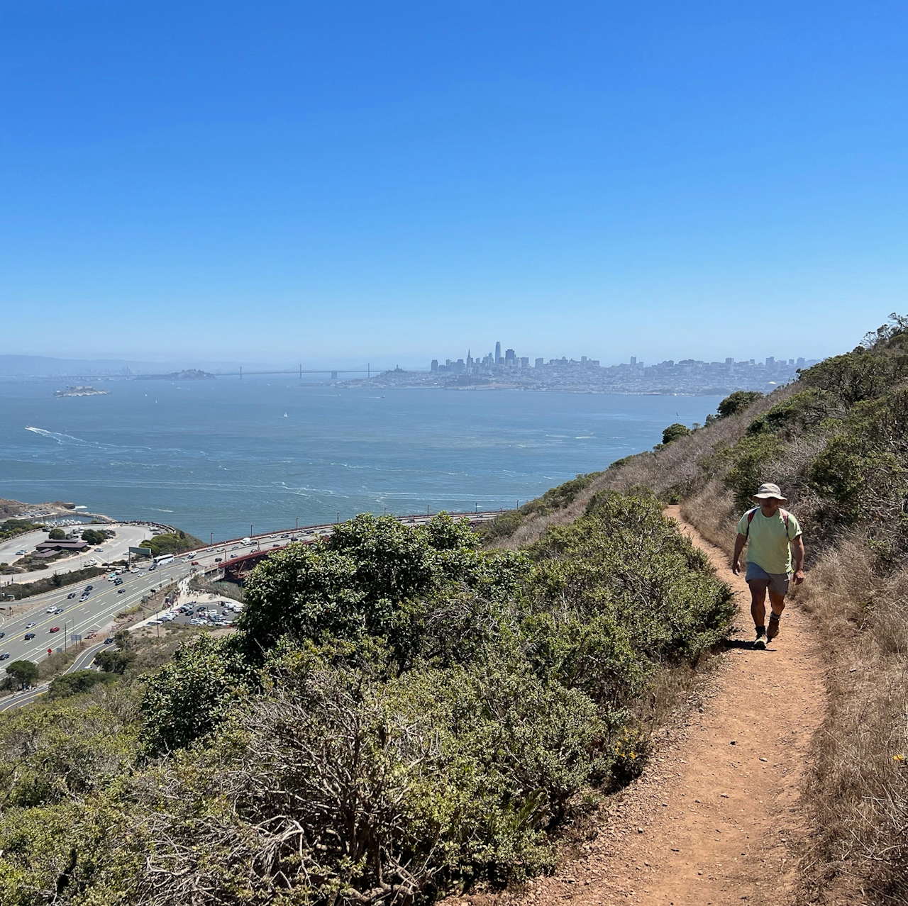
Hiker on the SCA Trail heading down to Fort Baker Bay Trail

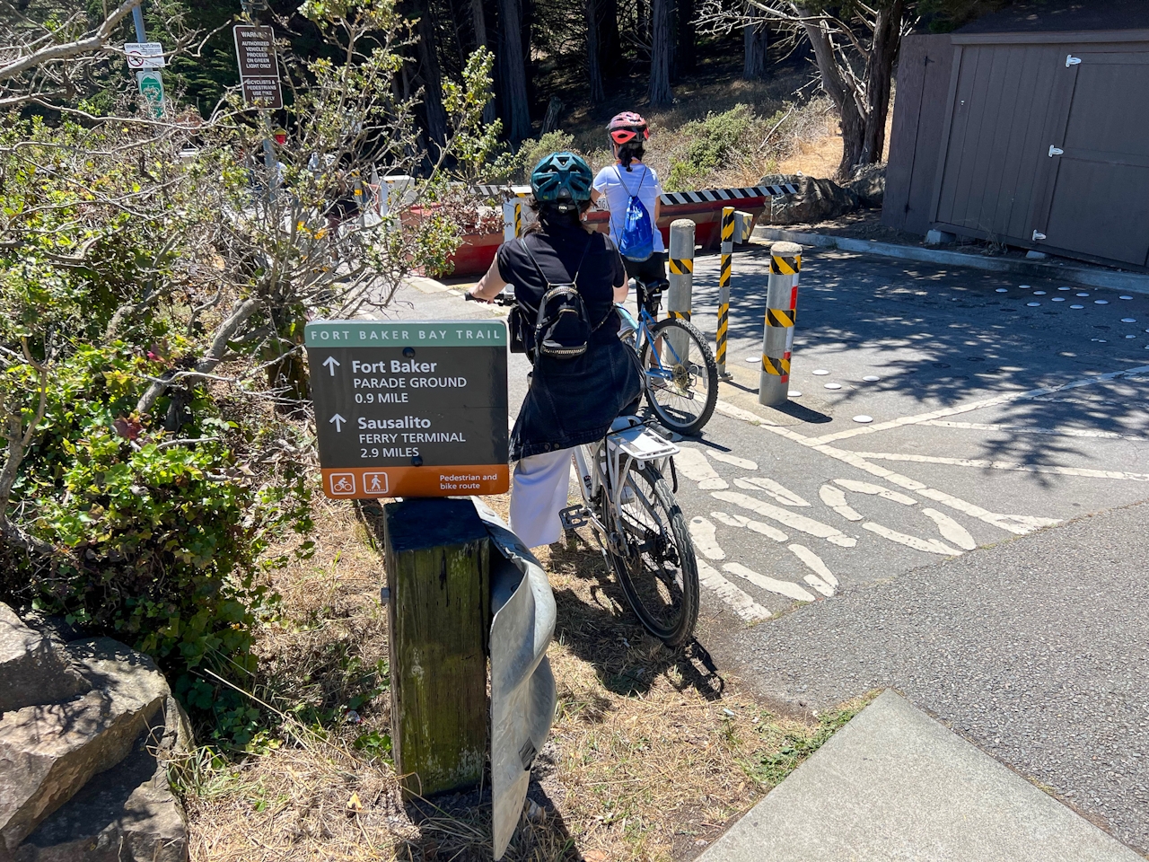
Once at the bridge, take the Fort Baker Bay Trail, which is very popular with cyclists. It’s a bike and pedestrian road route; just be mindful of cyclists who may be going a bit too fast on the descent! After you arrive at Fort Baker and the dock for the ferry, beeline for Cavallo Point (signs point the way). Next to Sula restaurant at Cavallo Point there’s a set of picnic tables on grass that can be used by anyone—bring your own picnic or order brunch or lunch from Sula.
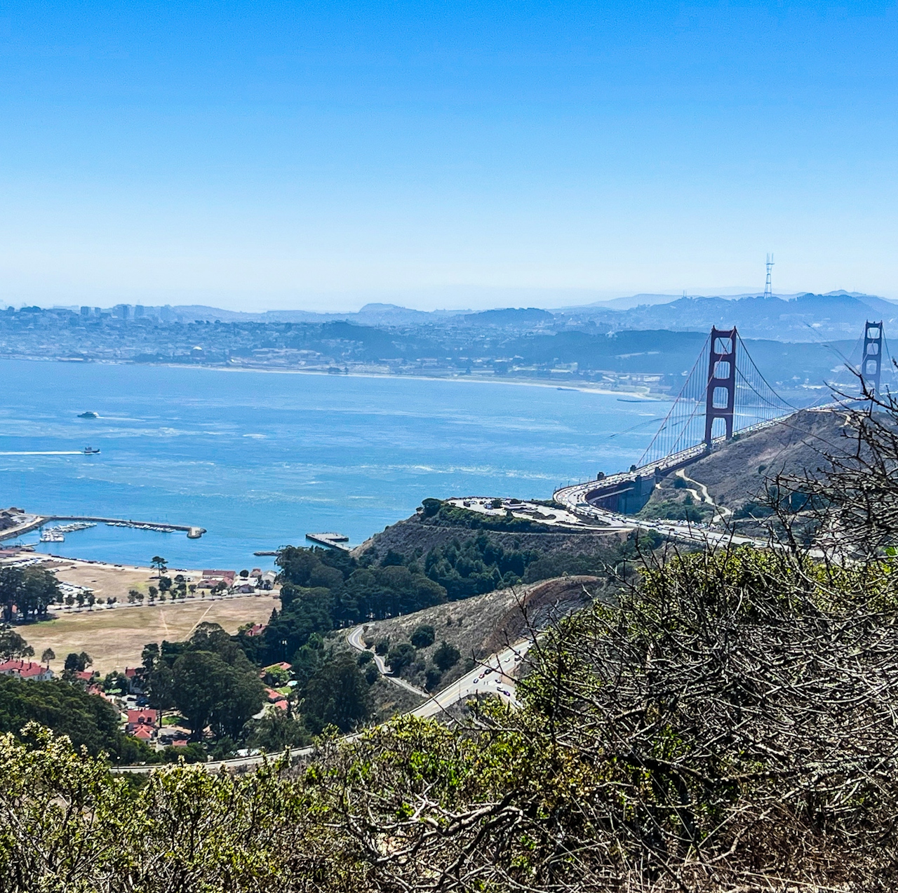
Bikers getting ready to go down the Fort Baker Bay Trail

Hold steady at one mimosa if you can, because the return trip the way you came starts with a serious uphill, rounding out an 8-mile all-in hike. (Alternatively, have someone pick you up at Cavallo Point and take you back to the Morning Sun Trailhead parking area, or just make the Morning Sun and SCA Trail an out-and-back for as far you feel comfortable and skip Cavallo.)

Parking fills up fast at the Morning Sun Trailhead. The Morning Sun Trailhead is dog-friendly but no dogs beyond that when you enter the SCA and Bay Trail area. Cavallo Point is dog-friendly!

Trending Stories NorCal

View all Stories
  1. Woman with her arms outstretched to the rolling hills scenery while on a rock outcrop at Barnabe Peak in Samuel P Taylor Sate Park in Marin

    Barnabe Bonanza

    Sure, there are higher mountains in Marin (Mount Tam) and easier ascents (Mount Burdell), but is there a more expansive North Bay view? Barnabe Peak in Samuel P. Taylor State Park offers a glorious panorama including Mount Tam, Mount Diablo, and Mount St. Helena.

    View
  2. Tamtastic Sunset

    Sure, the East Peak of Mount Tam is absolutely spectacular at sunset, but some magic-hour enthusiasts head to a nearby spot, Trojan Point, for a little more personal space in their panoramic viewings.

    View
  3. Hiker on the SCA trail in Marin Headlands with view of the Golden Gate Bridge

    Headlands Over Heels

    People come from all over the world to get a glimpse of the Golden Gate Bridge. Get a dramatic and novel view of the bridge without all the people on this moderate 6-mile hike in the Marin Headlands.

    View

Trending Stories SoCal

View all Stories
  1. Lagoon Swoon

    We all love an underdog story, especially in the shadow of the greats. Enter a truly SoCal coastal version: Malibu Lagoon State Beach. Though situated next to Surfrider Beach, a fa

    View
  2. Woman hiking the San Onofre Bluffs Loop Trail to San Onofre State Beach in San Diego County

    Bluffing Good!

    Lovely coastline, beautiful beaches, unique geological history, and picturesque sandstone cliffs with limited foot traffic in San Diego County? Head to San Onofre State Beach and the 5-mile San Onofre Bluffs Loop Trail.

    View
  3. Can We Get a Whoop Whoop!

    City, mountain, and ocean views all in one hike? Whoop whoop! It’s no surprise the the Kenter Fire Road and Whoop-de-Doos Trail (a combo of fire road and singletrack) is a favorite among local mountain bikers and hikers alike.

    View