Taking the Stage: Tyler Ranch

Hike New Trails at Pleasanton Ridge Regional Park

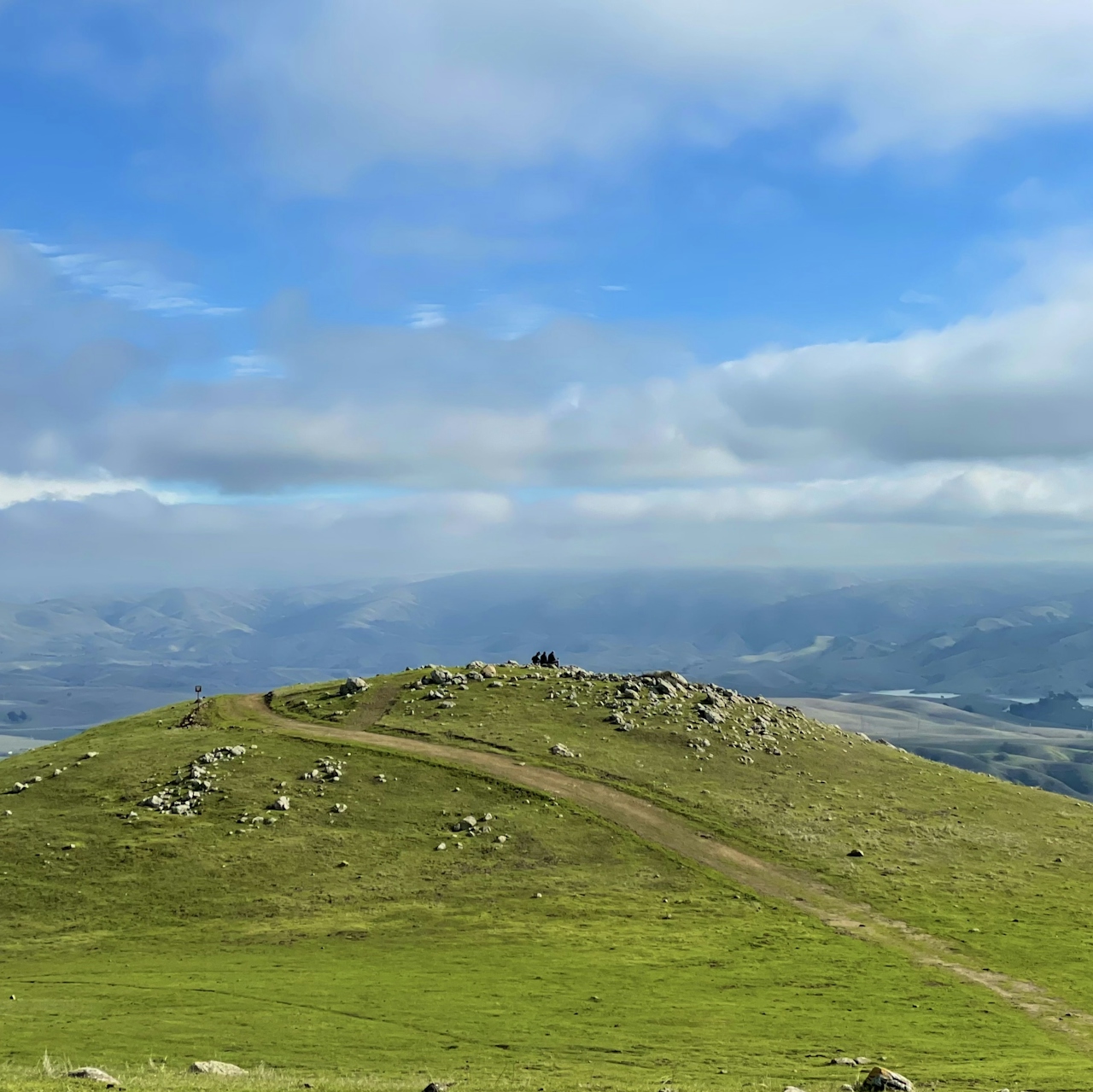
Hikers sit at the grassy and boulder studded summit of Tyler Ranch Staging Area in Pleasanton Ridge Regional Park

The Bay Area has some new trails to explore. Hike Tyler Ranch Staging Area in Pleasanton Ridge Regional Park, with 18 miles of new trails. This 6.5-mile loop up Sunol Peak is a challenge and rewards with exceptional views of seasonal iridescent hills.
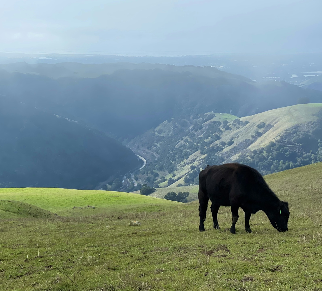
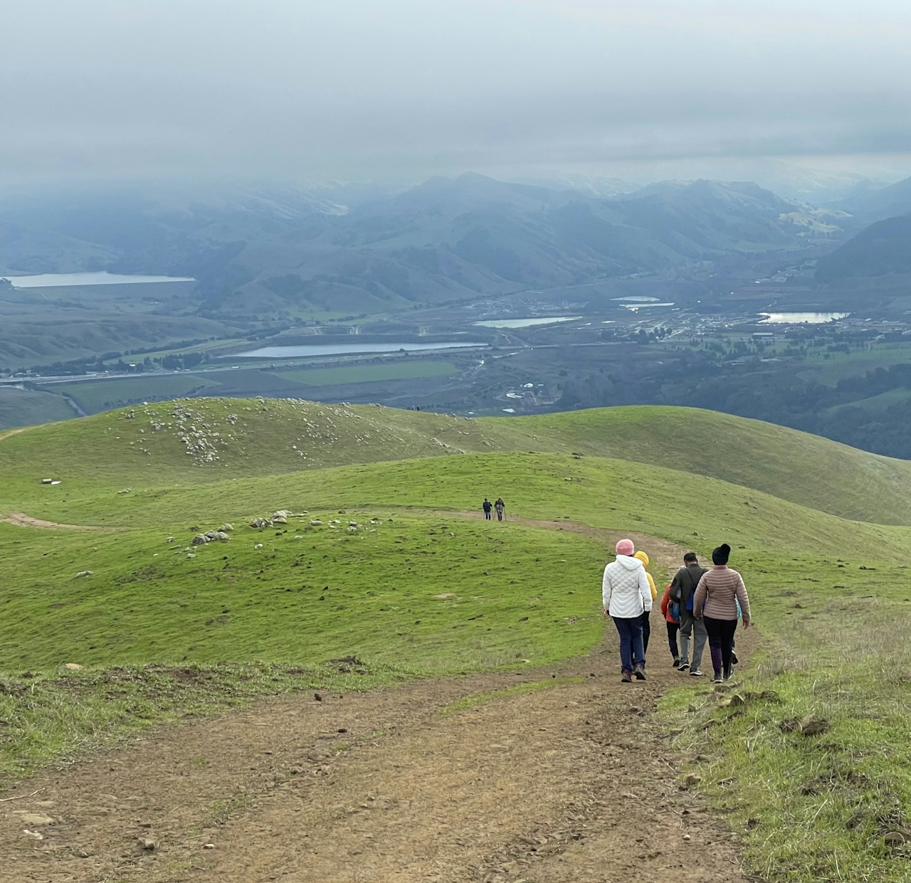
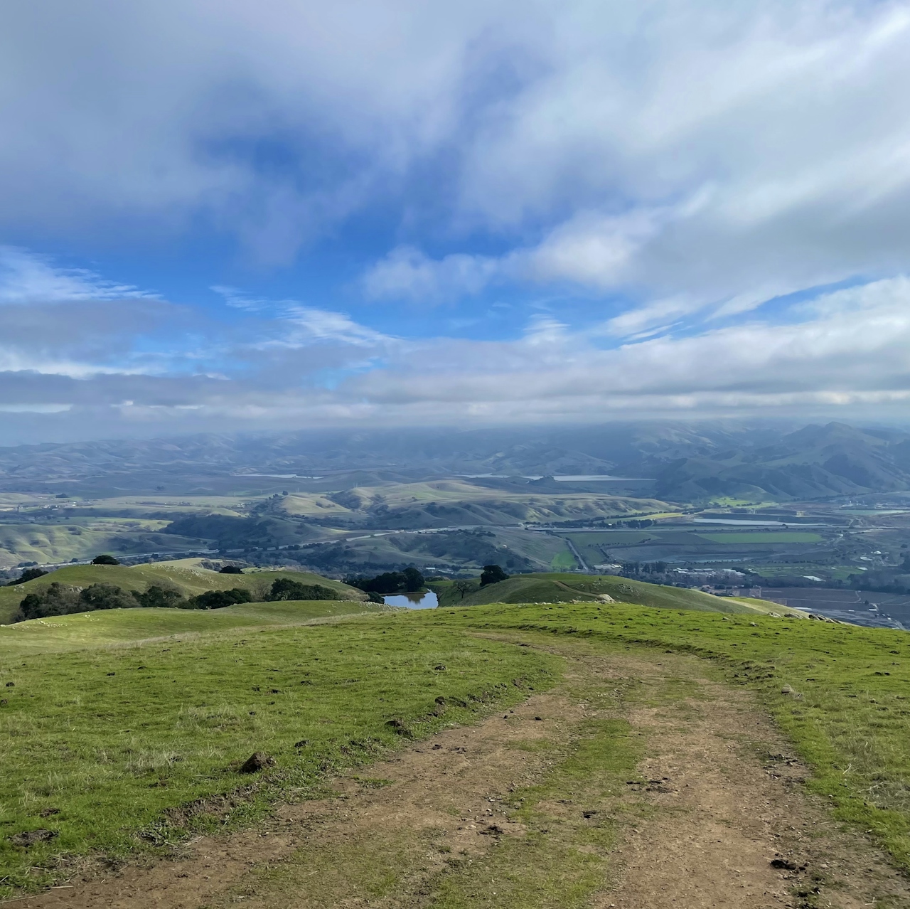
From the parking lot, hike up the paved path, then turn left onto Sunol Ridge Trail. The climb is steep, and the Niles Canyon Overlook is a fantastic spot to take a breather. Soak up the surrounding green hills—reminiscent of the Emerald Isle—before continuing up the trail.
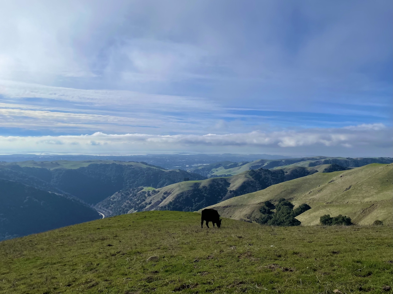
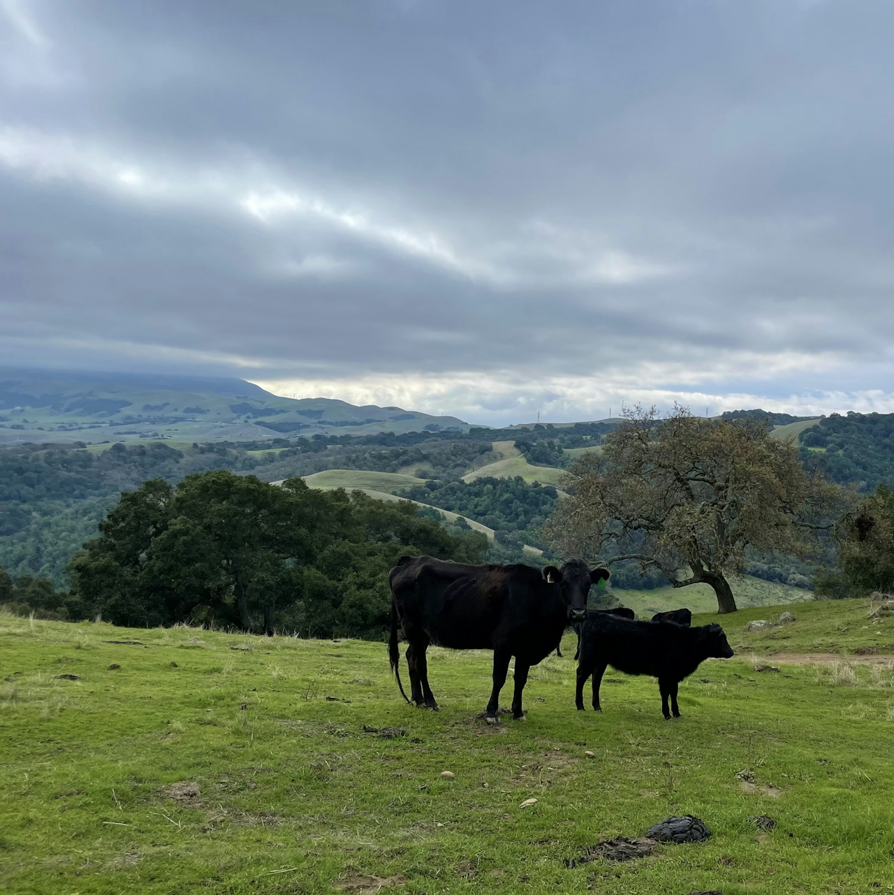
Stay on Sunol Ridge Trail for the next 1.2 miles. This stretch of grassland is used for cattle grazing, and lucky photographers can snap a shot of cows silhouetted against sunny Silicon Valley to the southwest.
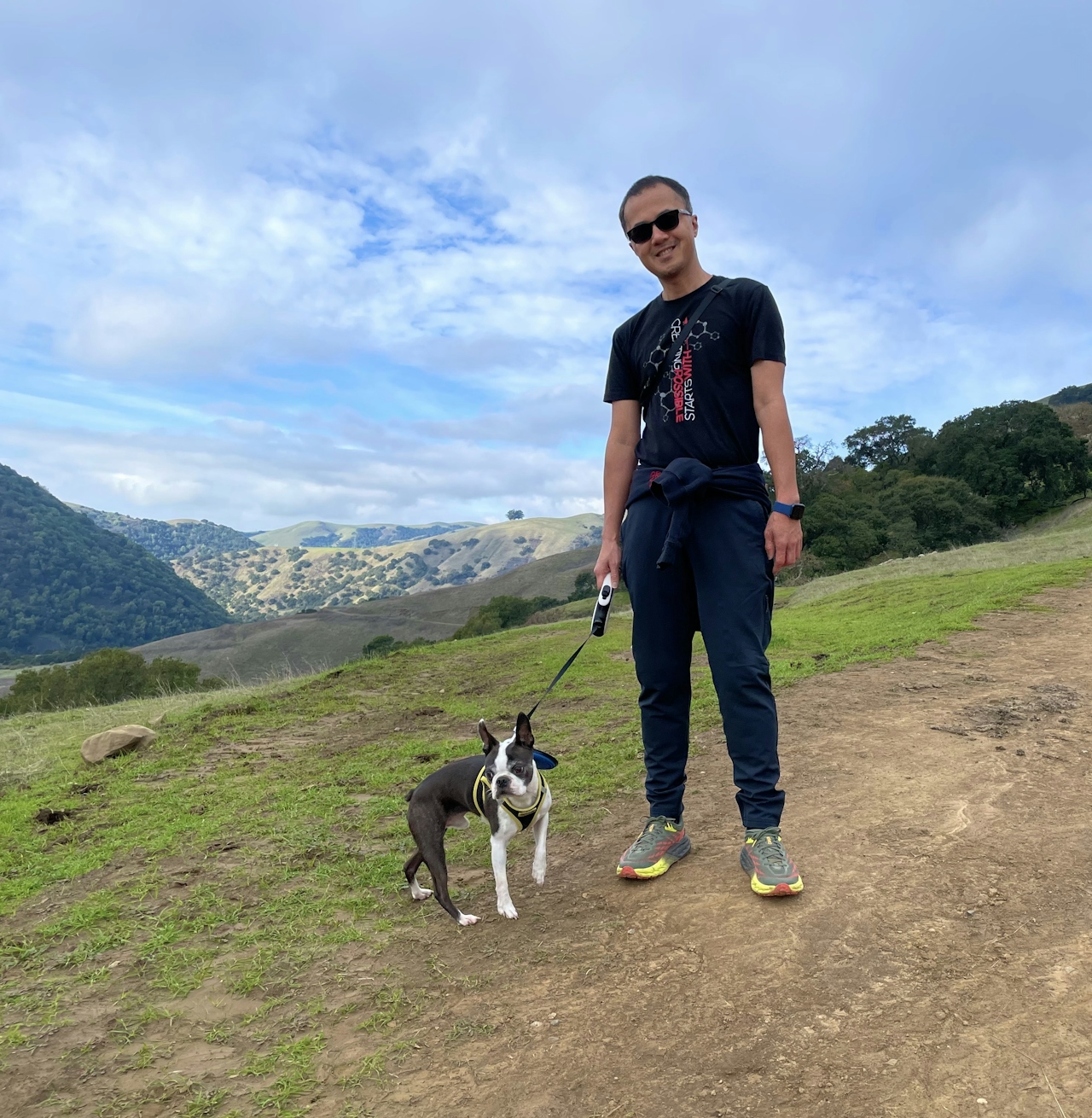
A hiker and his dog on the wide open dirt trail with mountain scenery in the background at Tyler Ranch Staging Area in Pleasanton Ridge Regional Park

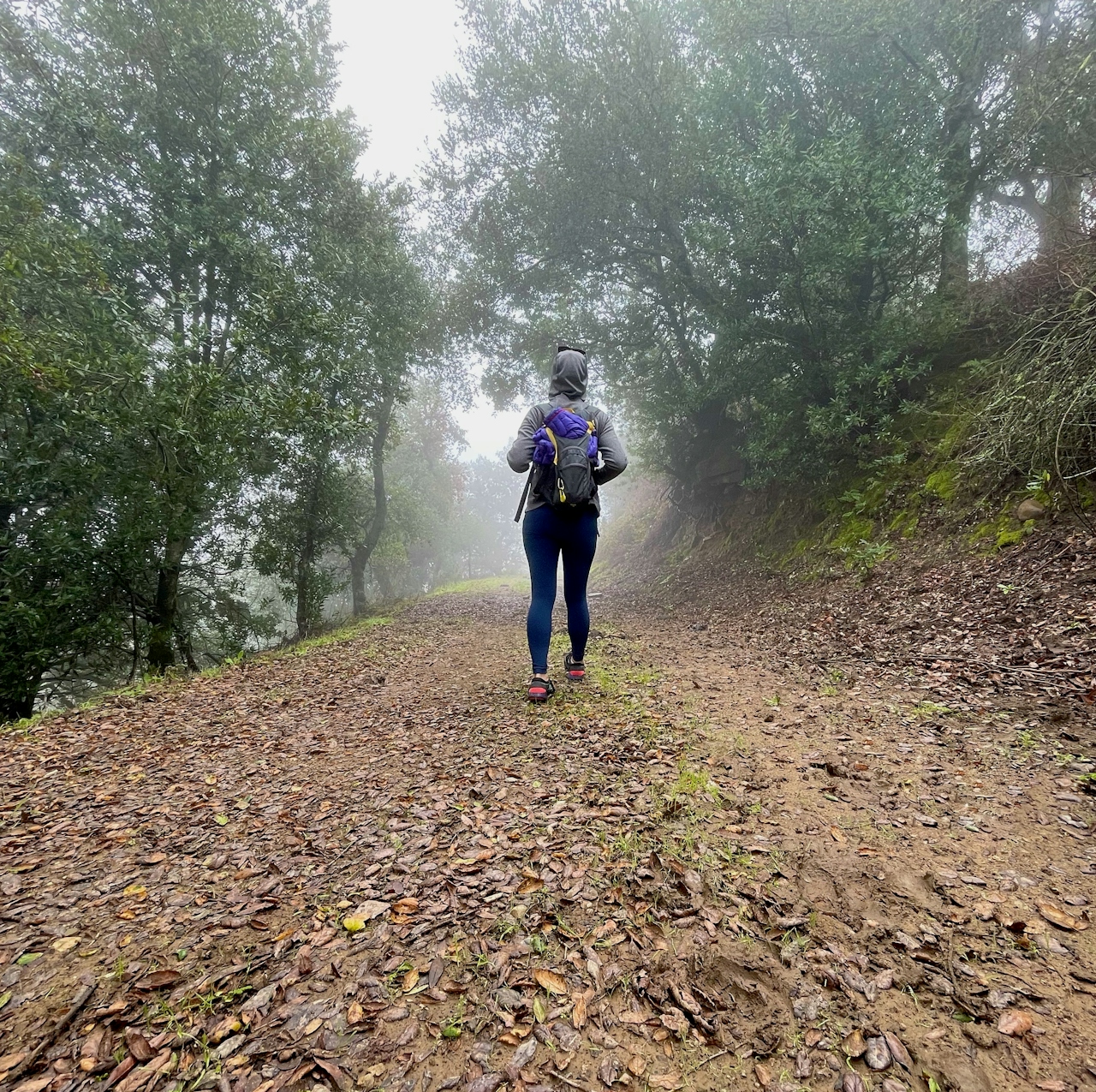
Pass through the cattle gate. At the intersection with Woodside Spring Trail, keep left to stay on Sunol Ridge Trail. Up ahead is Sunol Peak, the highest summit in the park at 2,091 feet. The antenna-covered mountaintop is private property, but hikers can turn right onto Woodside Spring Trail to do a full loop around the peak. This shaded stretch is lined with moss-covered trees and boulders, with glimpses of Livermore Valley visible beyond the forest.
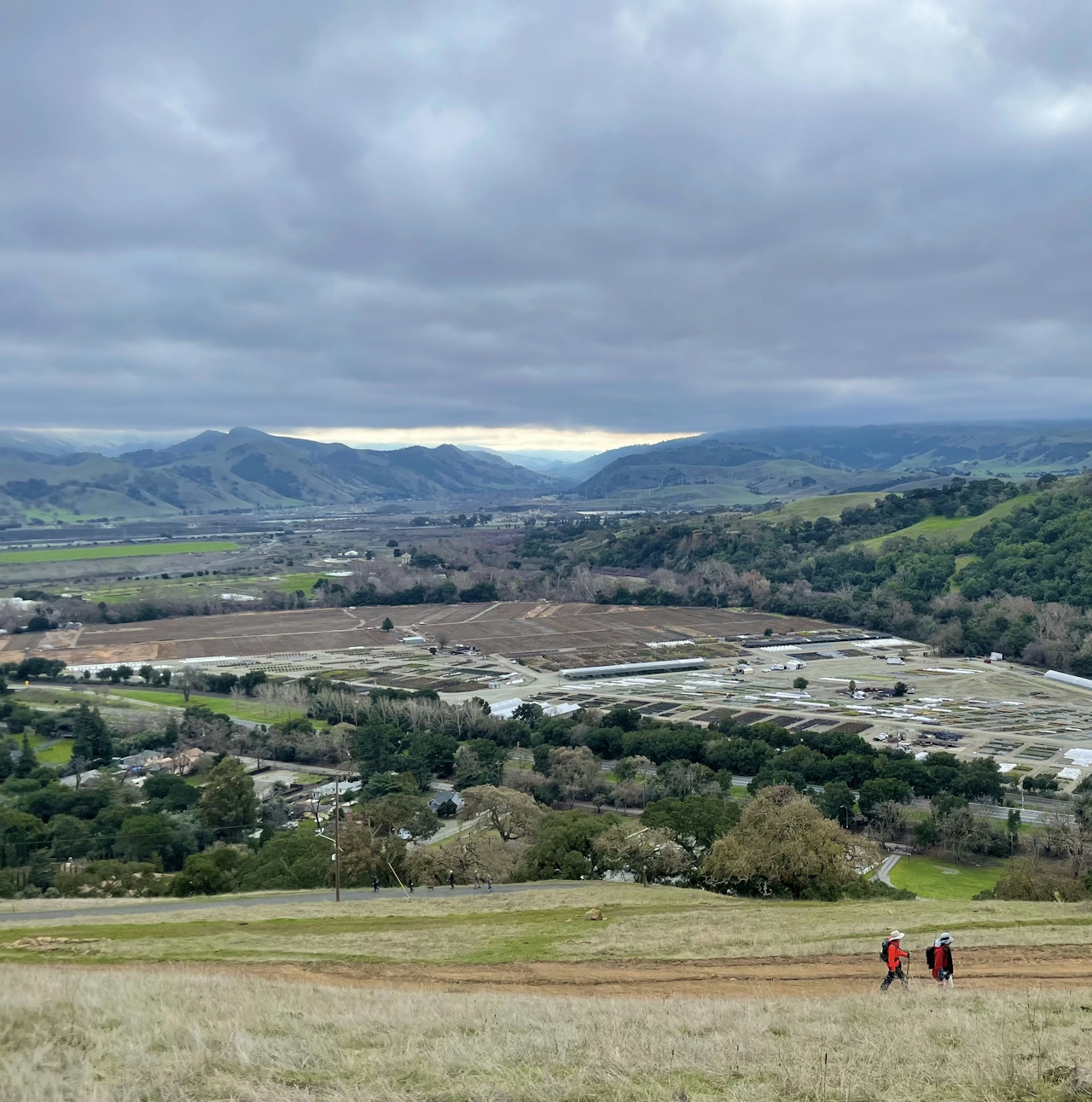
At the intersection with Sunol Ridge Trail, turn left and retrace the route back to the parking lot.

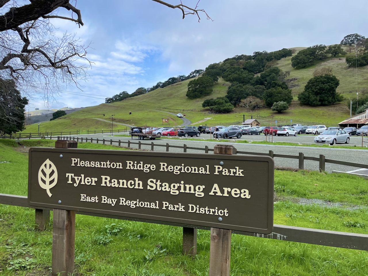
The Tyler Ranch Staging Area is located at 12565 Foothill Rd. in Sunol. Map. Pleasanton Ridge’s winter hours are 8 a.m. to 5 p.m. Bike-friendly. Dog-friendly.

Get Our Weekly Email

Find inspiration and ideas for outdoor adventures and travel in California and the West.

Story and photos by Heather Werner, @heath.er.wer.ner

Trending Stories NorCal

View all Stories
  1. Walk on the Wise Side

    A wise man once said, “Walk it off.” And San Francisco has just the place for a colorful walk via a 2.7-mile loop along Philosopher’s Way Trail in the 318-acre John McLaren Park (S

    View
  2. Hiker on the SCA trail in Marin Headlands with view of the Golden Gate Bridge

    Headlands Over Heels

    People come from all over the world to get a glimpse of the Golden Gate Bridge. Get a dramatic and novel view of the bridge without all the people on this moderate 6-mile hike in the Marin Headlands.

    View
  3. woman hiking Mt Tam east peak
    Sponsored

    Marquee Marin

    There may be no better place to find the best in coastal outdoors than the Marin Headlands. Bluff-side hiking trails, beautiful sandy beaches, big Pacific views, an iconic lighthouse, and unique lore in the area’s historic batteries are all part of the action here.

    View

Trending Stories SoCal

View all Stories
  1. Woman hiking the San Onofre Bluffs Loop Trail to San Onofre State Beach in San Diego County

    Bluffing Good!

    Lovely coastline, beautiful beaches, unique geological history, and picturesque sandstone cliffs with limited foot traffic in San Diego County? Head to San Onofre State Beach and the 5-mile San Onofre Bluffs Loop Trail.

    View
  2. Can We Get a Whoop Whoop!

    City, mountain, and ocean views all in one hike? Whoop whoop! It’s no surprise the the Kenter Fire Road and Whoop-de-Doos Trail (a combo of fire road and singletrack) is a favorite among local mountain bikers and hikers alike.

    View
  3. The Big Chill

    In LA, finding a place to chill can be the ultimate flex. So flex, in Franklin Canyon! This unexpected oasis has plenty of shade, cool lake breezes, and ample picnicking spots. Enjoy it on an easy-going 1-mile stroll along its reservoir and duck pond.

    View